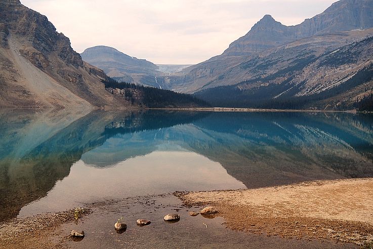





FR EN ES
Previous Page
Calgary
Next Page
Kananaskis lakes

Canada 2025

Grassi Lakes and Ha Ling Trail


Grotto Canyon

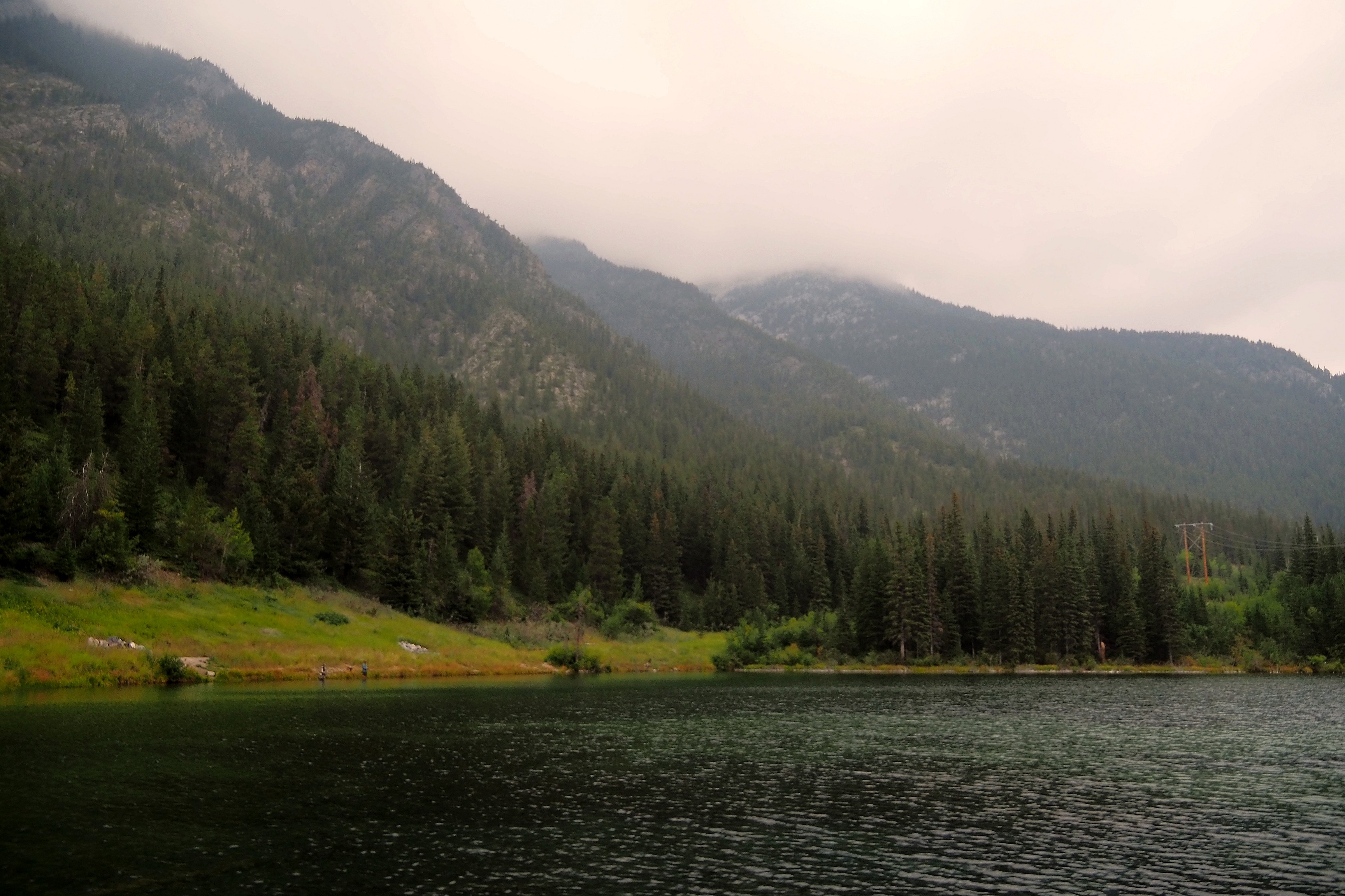
After leaving the big city of Calgary and doing our first shopping, here we are in the Canada we came for: wide open spaces, lakes, and mountains.   The day begins with Grotto Canyon, whose hike starts at the edge of this pond.

Pond at the foot of Grotto Mountain in the Rockies.

No pond without fly fishermen...

Mist over Grotto Mountain and its pond in the Bow Valley.Fly fishermen and dog by the Grotto Mountain pond.

It's already picnic time, the view will be perfect for lunch. Temperatures are not very high... We were hoping for warmer weather in early September, but we are still almost 1300 meters above sea level!
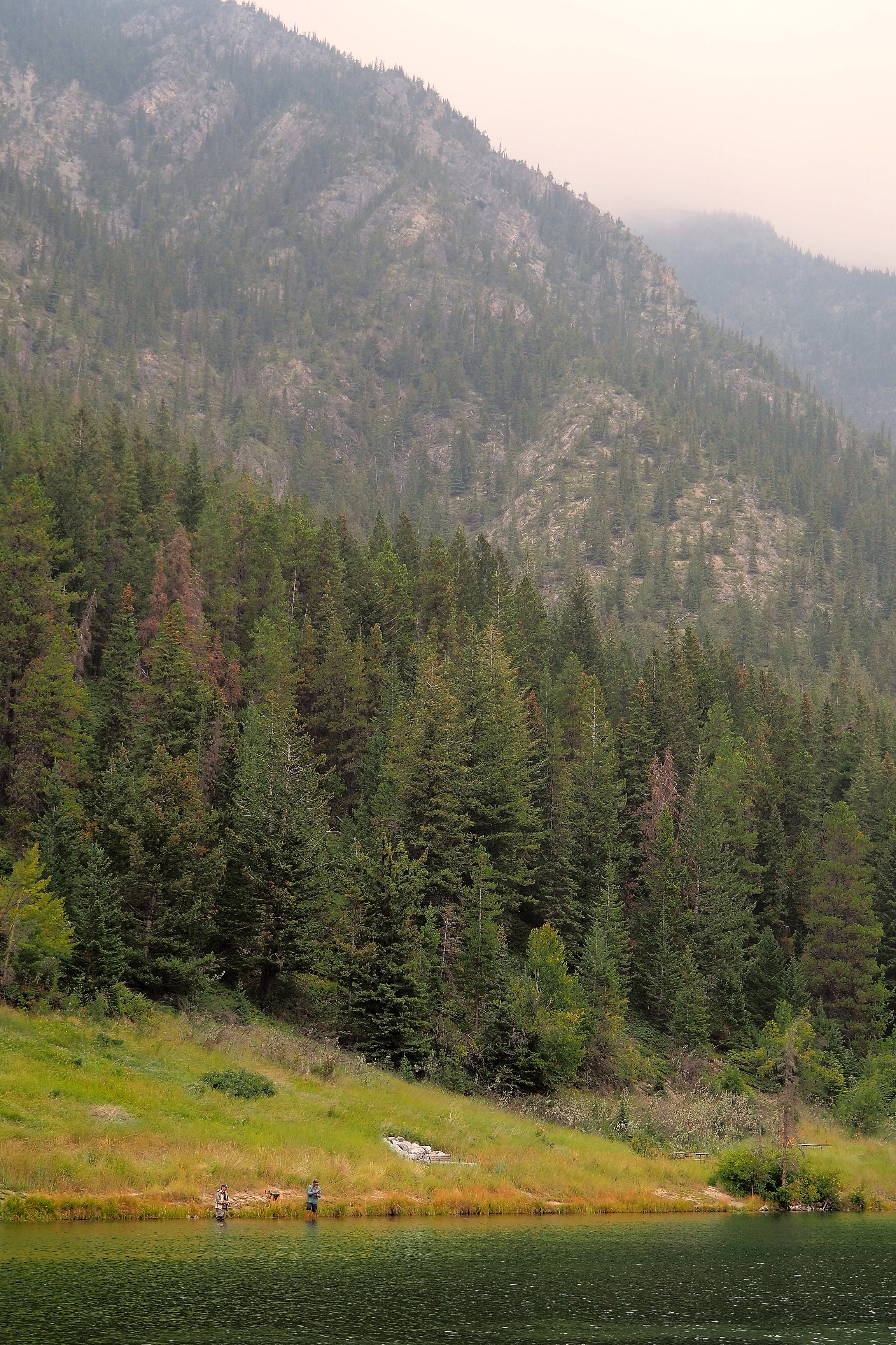
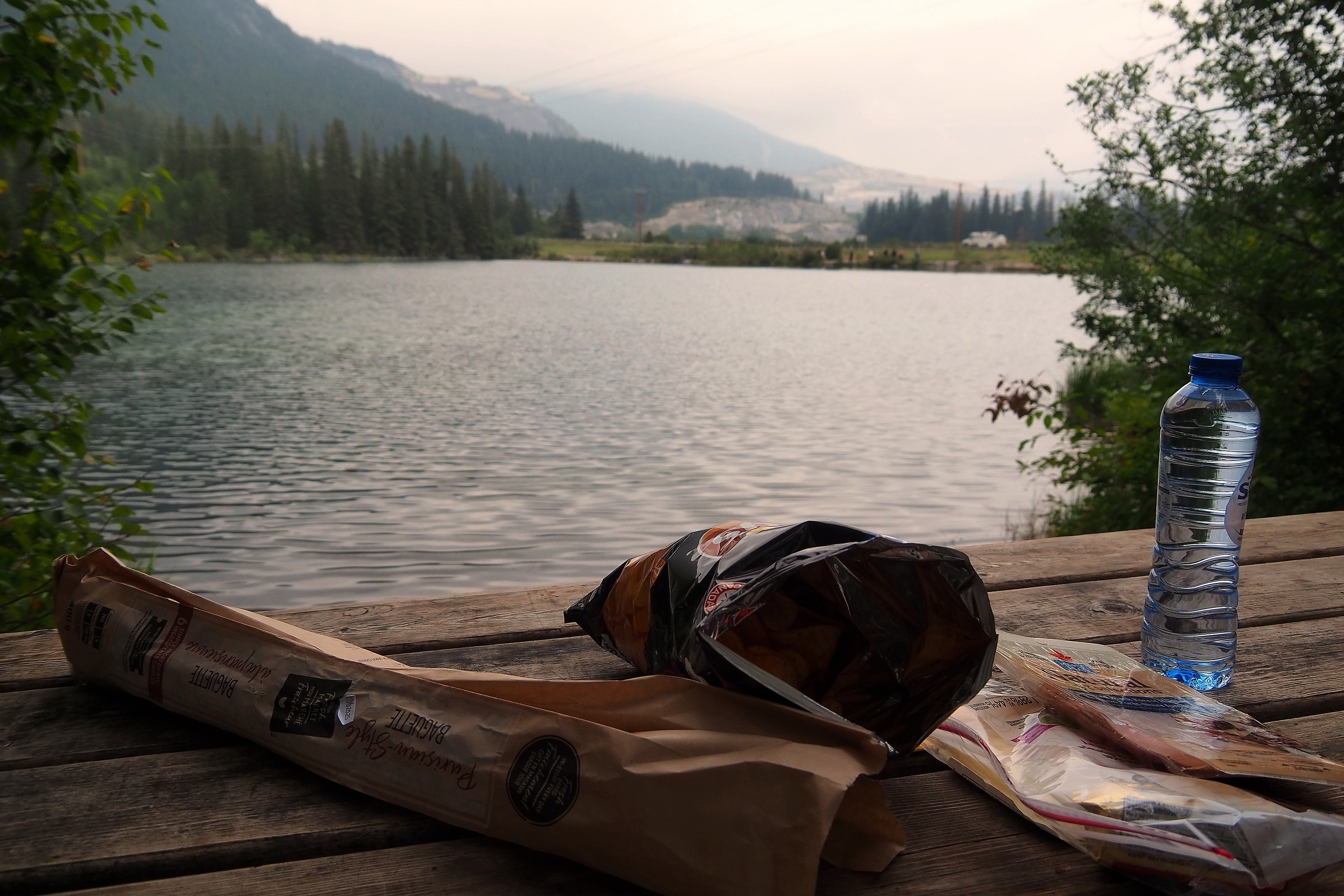
Fishermen by a pond at the foot of Grotto Mountain.Picnic with a view of the lake at the foot of Grotto Mountain.

And off we go for a short walk to reach Grotto Canyon.

Hiking trail within the coniferous forest of Grotto Canyon.Grotto Canyon hiking trail in the mist.

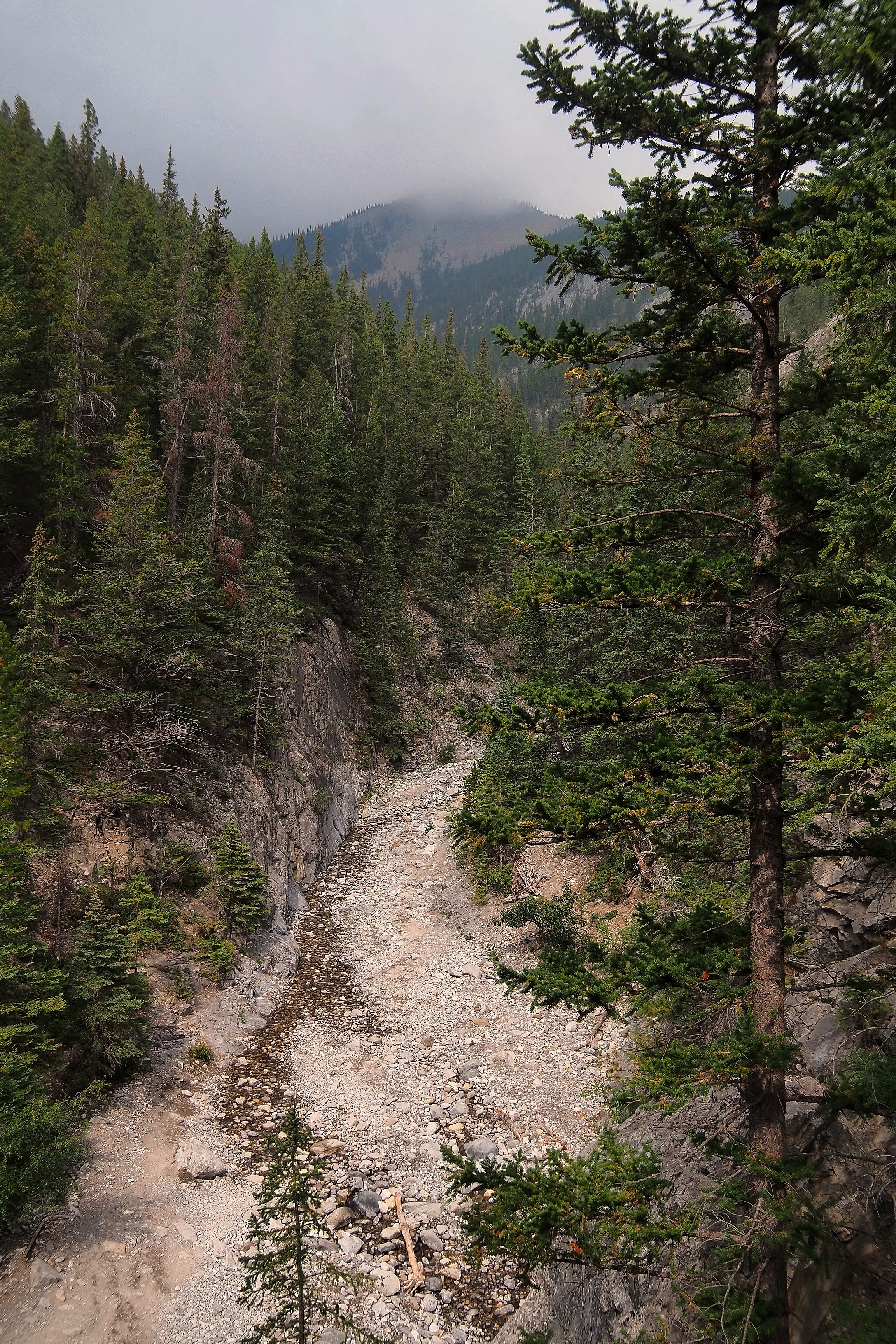
The bed of stones deposited by the floods of Grotto Creek. In the distance, we find the Bow River, the very same one that flows through Calgary.

Dry creek bed in Grotto Canyon, surrounded by misty mountains.

Here we are at the entrance of the canyon. All that's left is to follow the riverbed. Objective: find the rock paintings hidden in the canyon...  

Rocky trail in Grotto Canyon.Dried riverbed on the Grotto Canyon Trail.

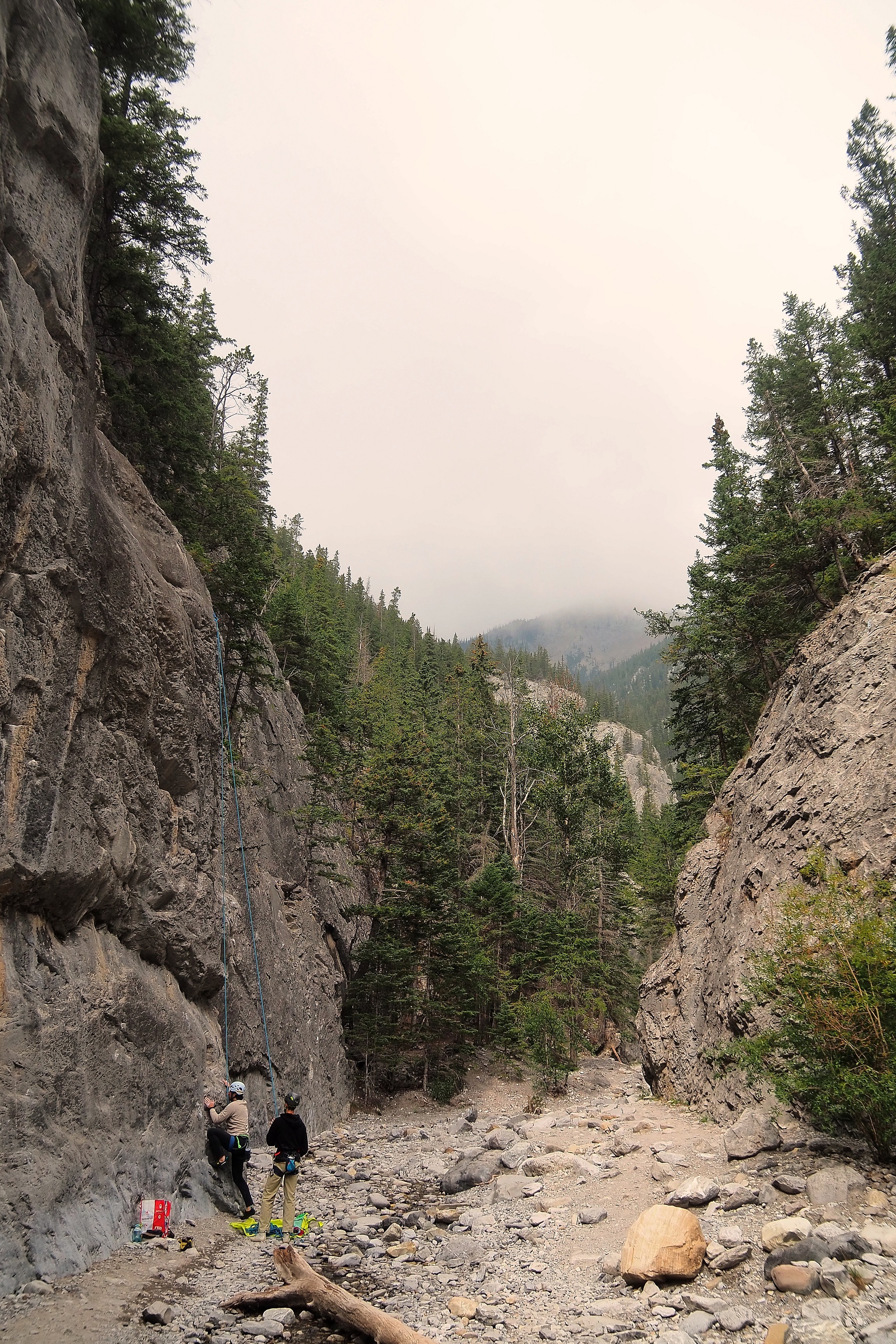
We won't be taking a climbing break... We'll leave that to the helmeted people.  

Rock climbing on a cliff face in Grotto Canyon.Rock climbing on the cliff faces of Grotto Canyon.

The limestone walls of Grotto Canyon rise up to sixty meters high in the narrowest sections. This gray limestone serves as a support for the white spruce (Picea glauca) that grows on the slopes.
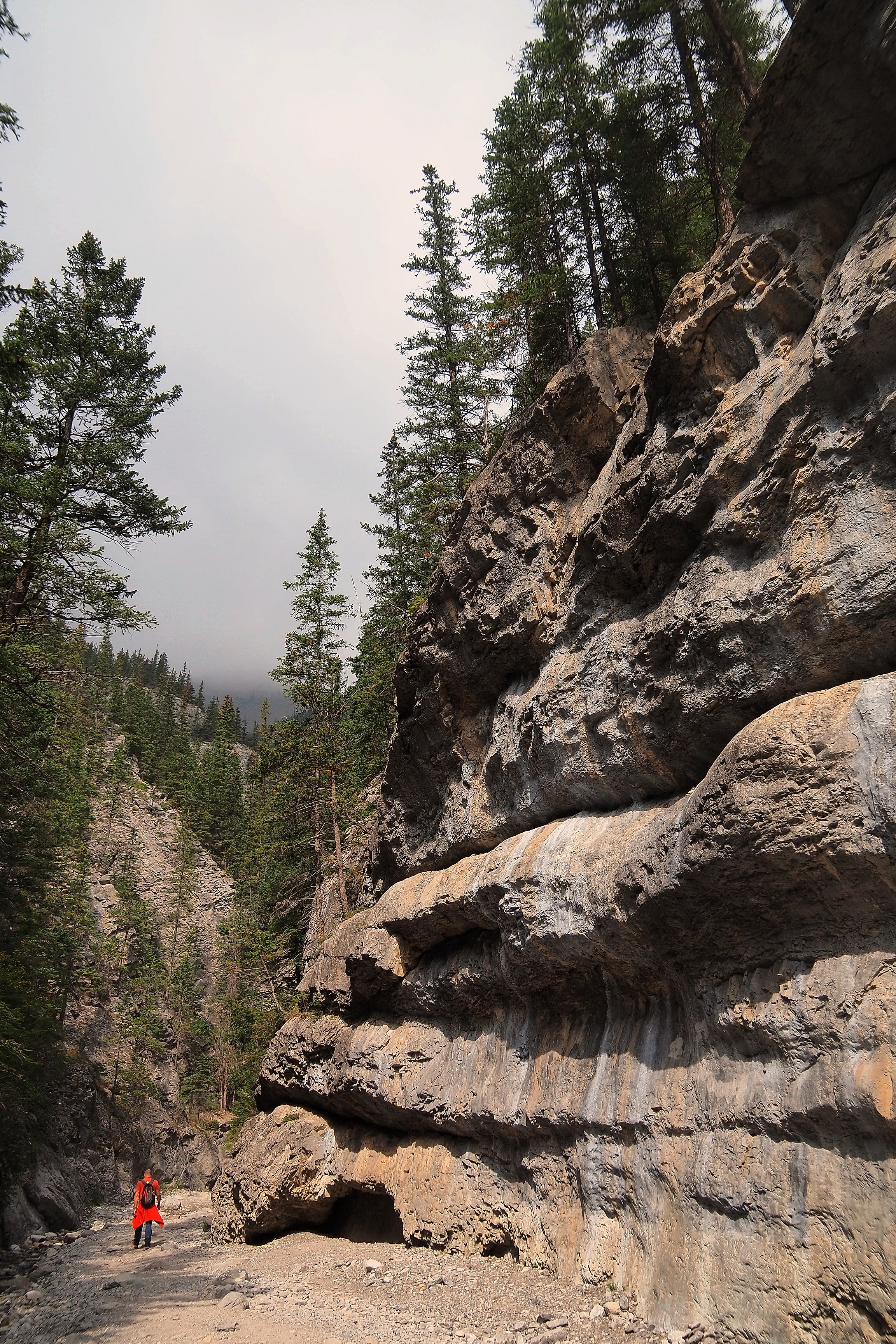
Rock wall along the Grotto Canyon trail.

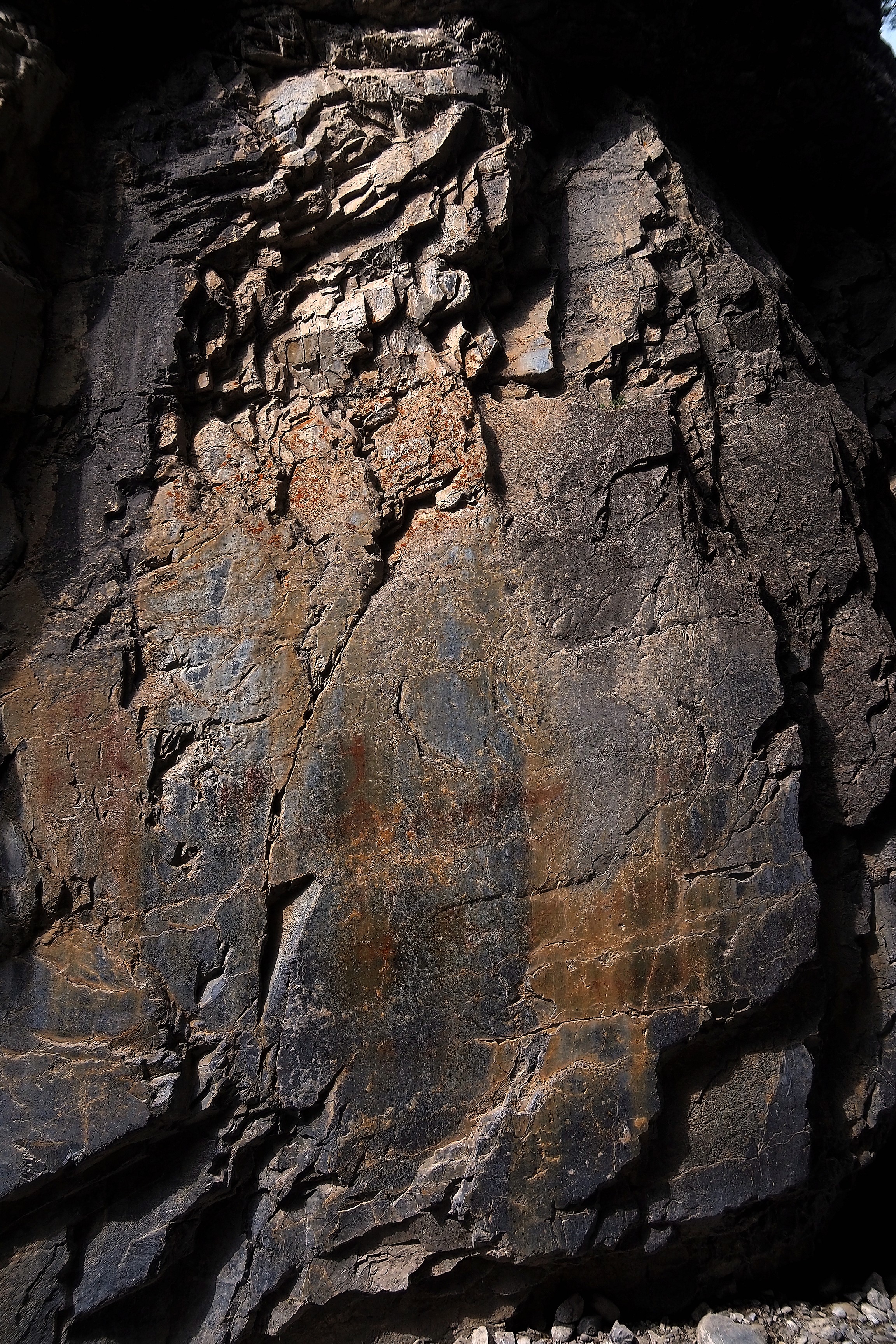
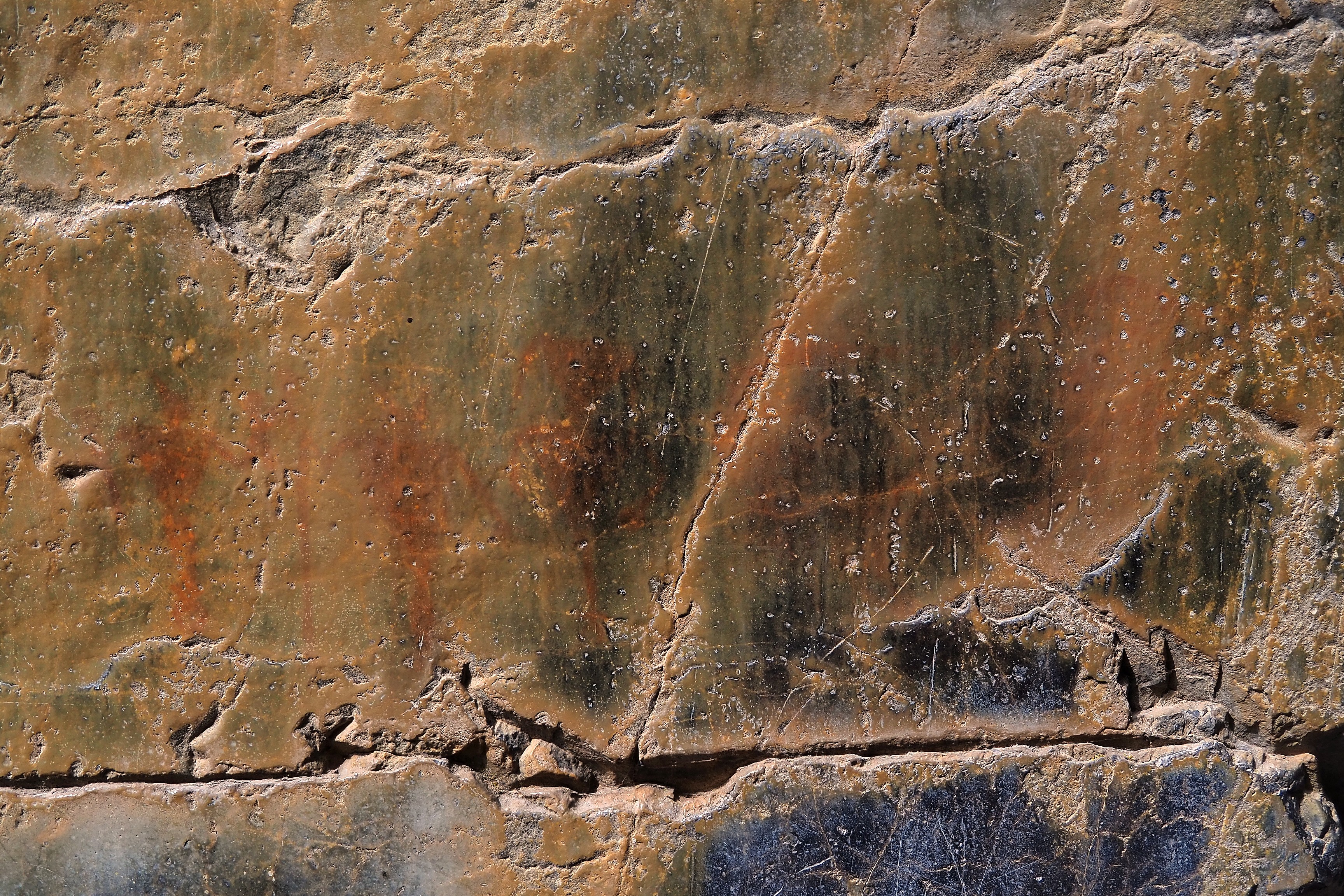
We finally find the little cultural marvel barely visible on the stone walls. The rock art, made from mineral pigments and animal fats, depicts human and animal forms. Researchers see in them the silhouette of a musician playing the flute, suggesting ancestral links with southern tribes. Alas, these treasures receive no protection from visitors' hands or the elements...

Indigenous pictographs on the cliff face of Grotto Canyon.Indigenous pictographs on the cliff face of Grotto Canyon.Rock paintings on the cliff face of Grotto Canyon.

(New text)

Indigenous pictographs on the cliff faces of Grotto Canyon.
Indigenous pictograph on the cliff face of Grotto Canyon.Indigenous rock painting on the cliff faces of Grotto Canyon.Indigenous rock painting on the walls of the Grotto Canyon trail.

(New text)

Indigenous pictograph on the cliff faces of Grotto Canyon.

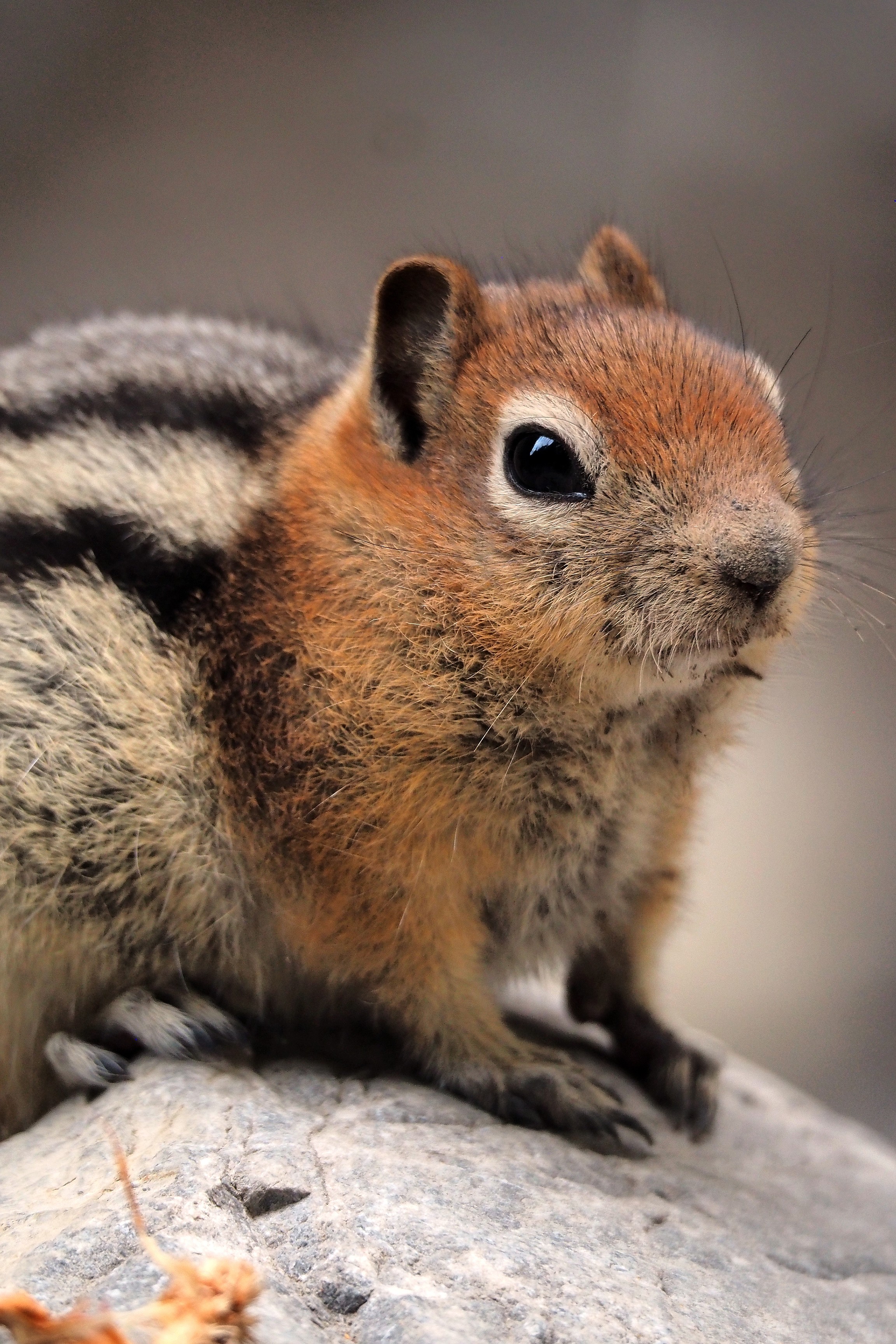
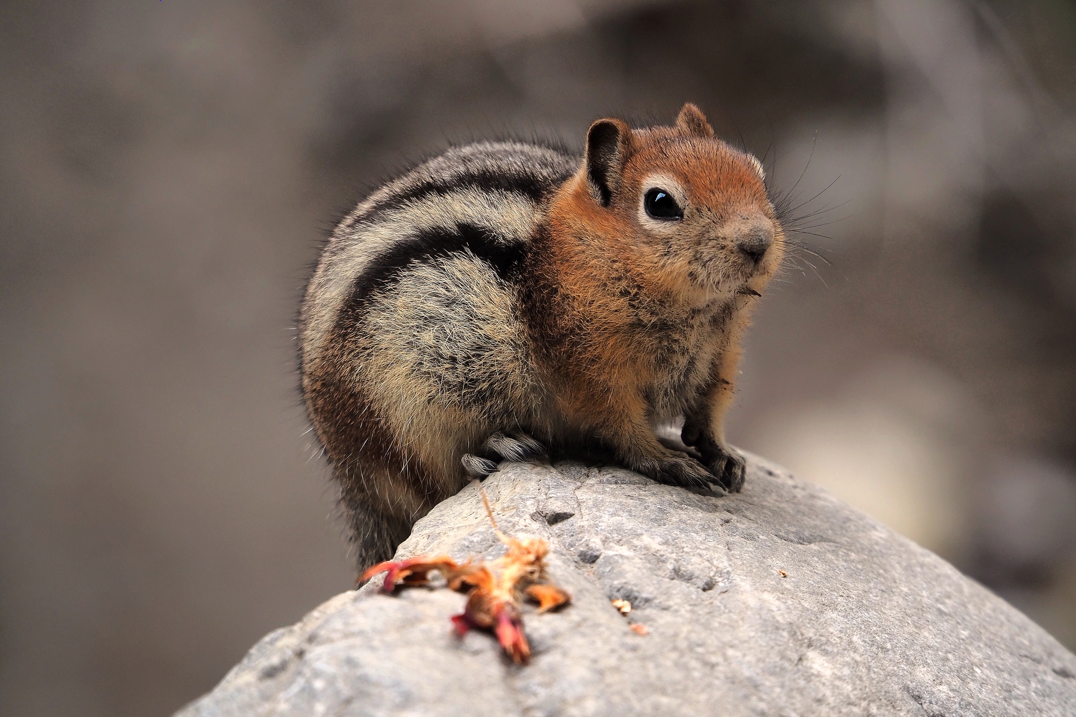
  And there, surprise! Our first encounter with the wild world of the Rockies!   It's a golden-mantled ground squirrel (Callospermophilus lateralis)! This rodent typical of the Rockies frequents the limestone scree of Grotto Canyon to forage for food.

Golden-mantled ground squirrel on a rock in Grotto Canyon.Golden-mantled ground squirrel on a rock in Grotto Canyon.Golden-mantled ground squirrel (Callospermophilus lateralis) in Grotto Canyon.

Not at all startled, it lets itself be approached without seeming at all worried...
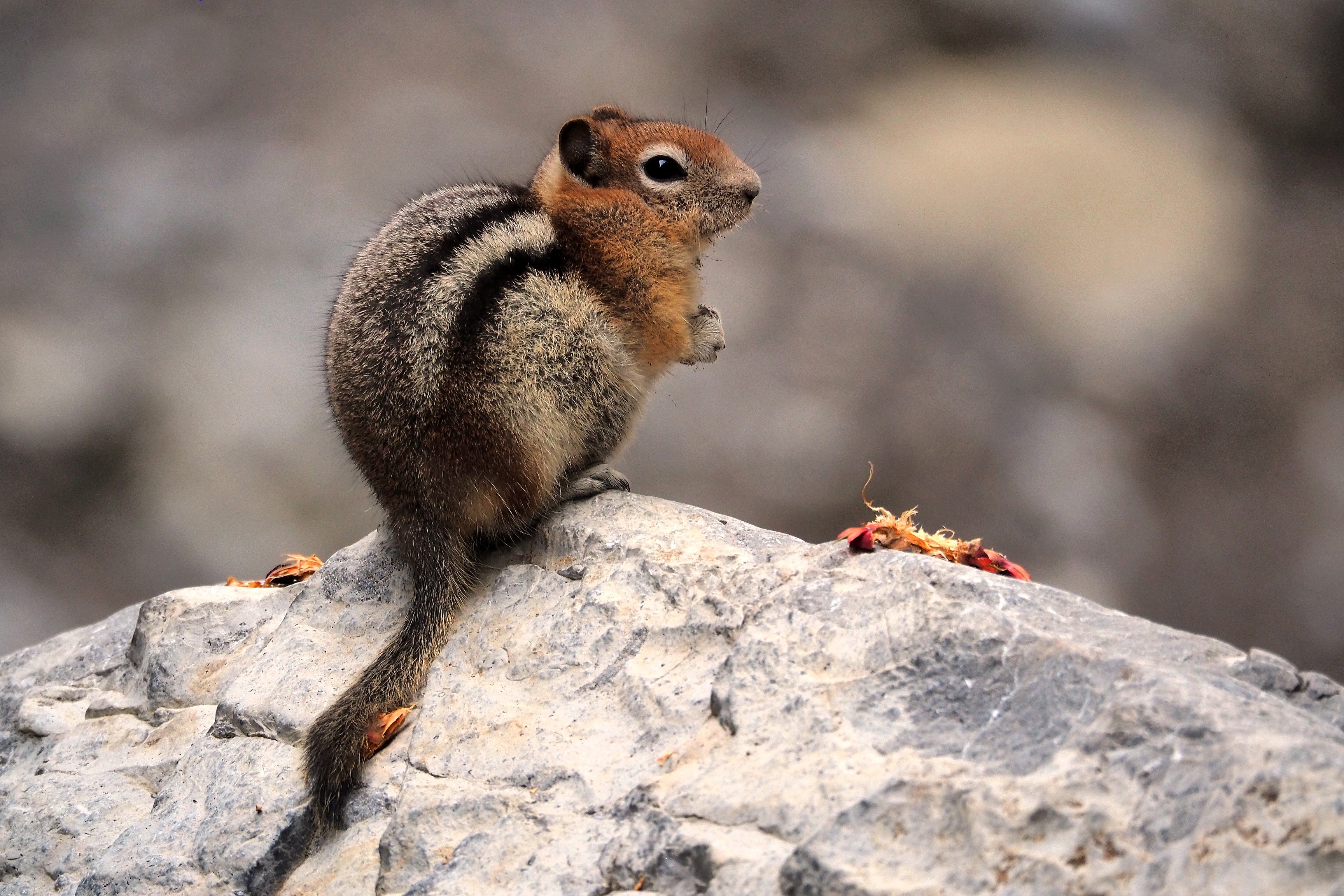
Golden-mantled ground squirrel (Callospermophilus lateralis) on a rock.
Golden-mantled ground squirrel in Grotto Canyon.Golden-mantled ground squirrel (Callospermophilus lateralis) in Grotto Canyon.

The golden-mantled ground squirrel looks very much like the striped chipmunk, which has stripes on its head. During this late summer, it accumulates fat reserves and stores seeds in its cheek pouches to survive the long winter hibernation. Its vigilance allows it to escape aerial predators while enjoying the sun's rays on warm stones. Evidently, by staying on its rock, it makes us understand that we are not among its predators...  
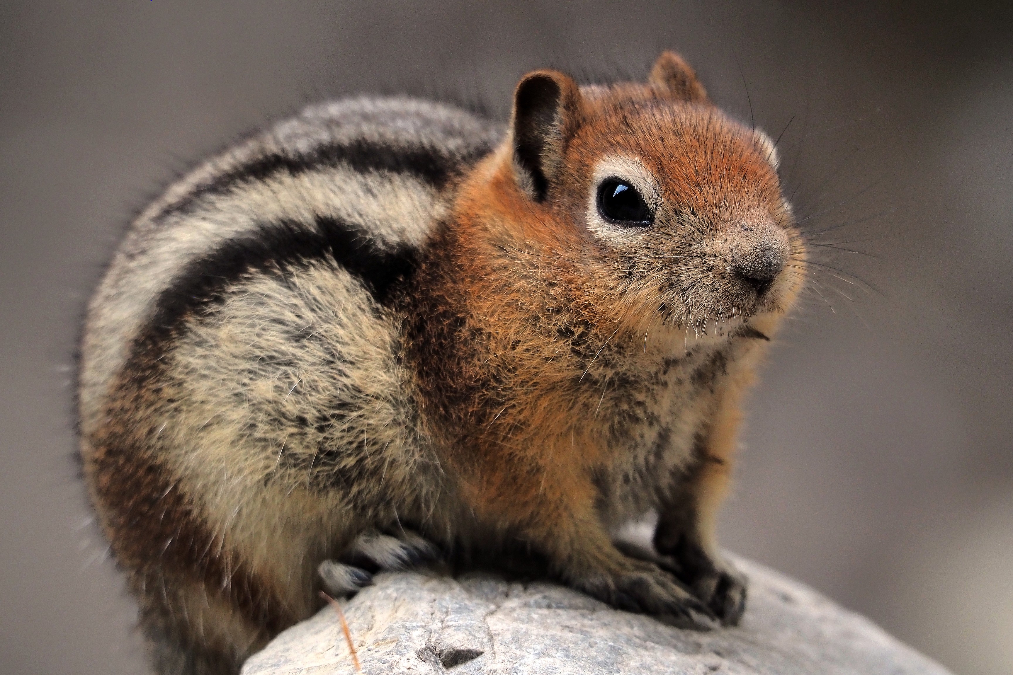
Golden-mantled ground squirrel (Callospermophilus lateralis) at Grotto Canyon.

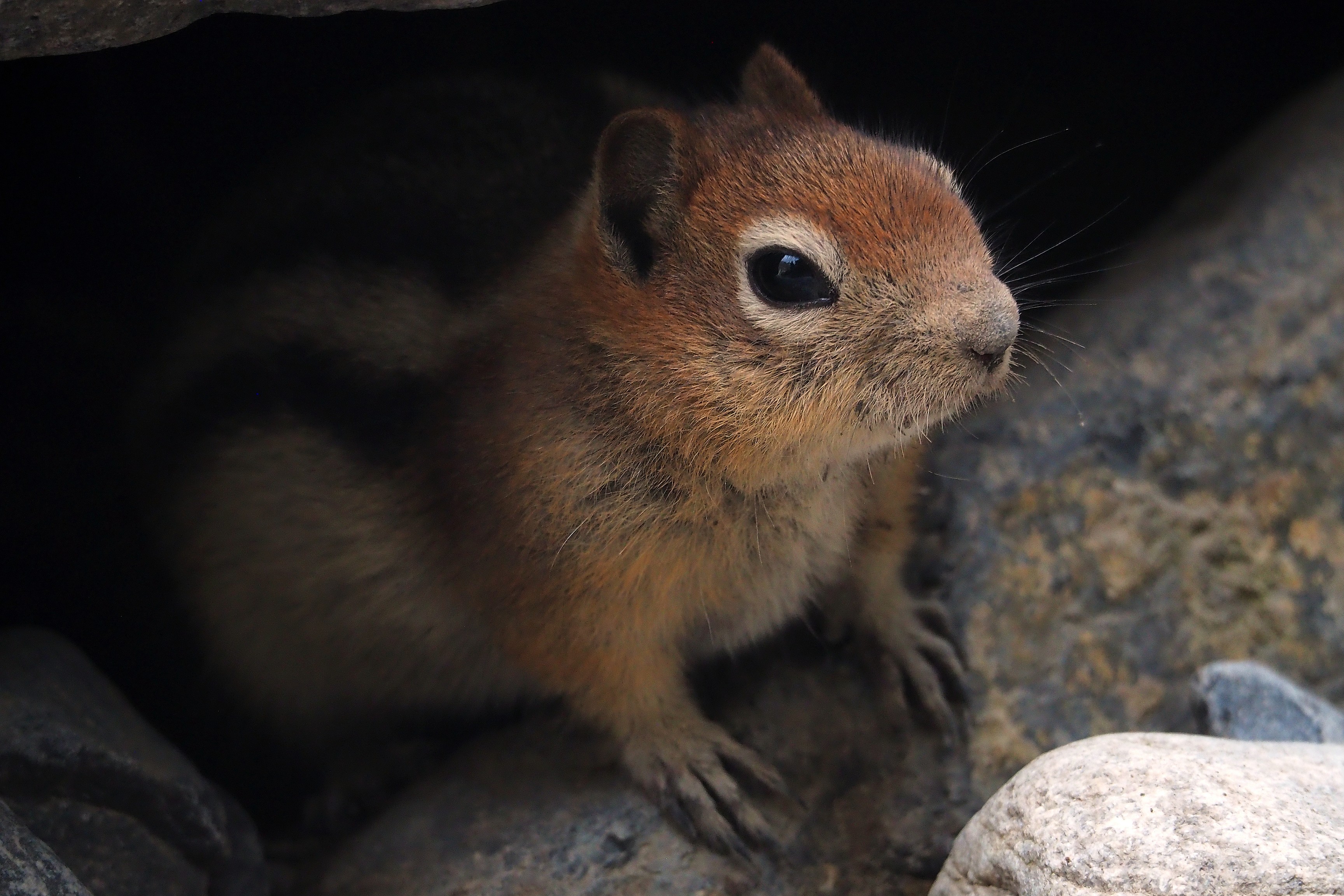
In doubt, it finally goes to take refuge under the stones...
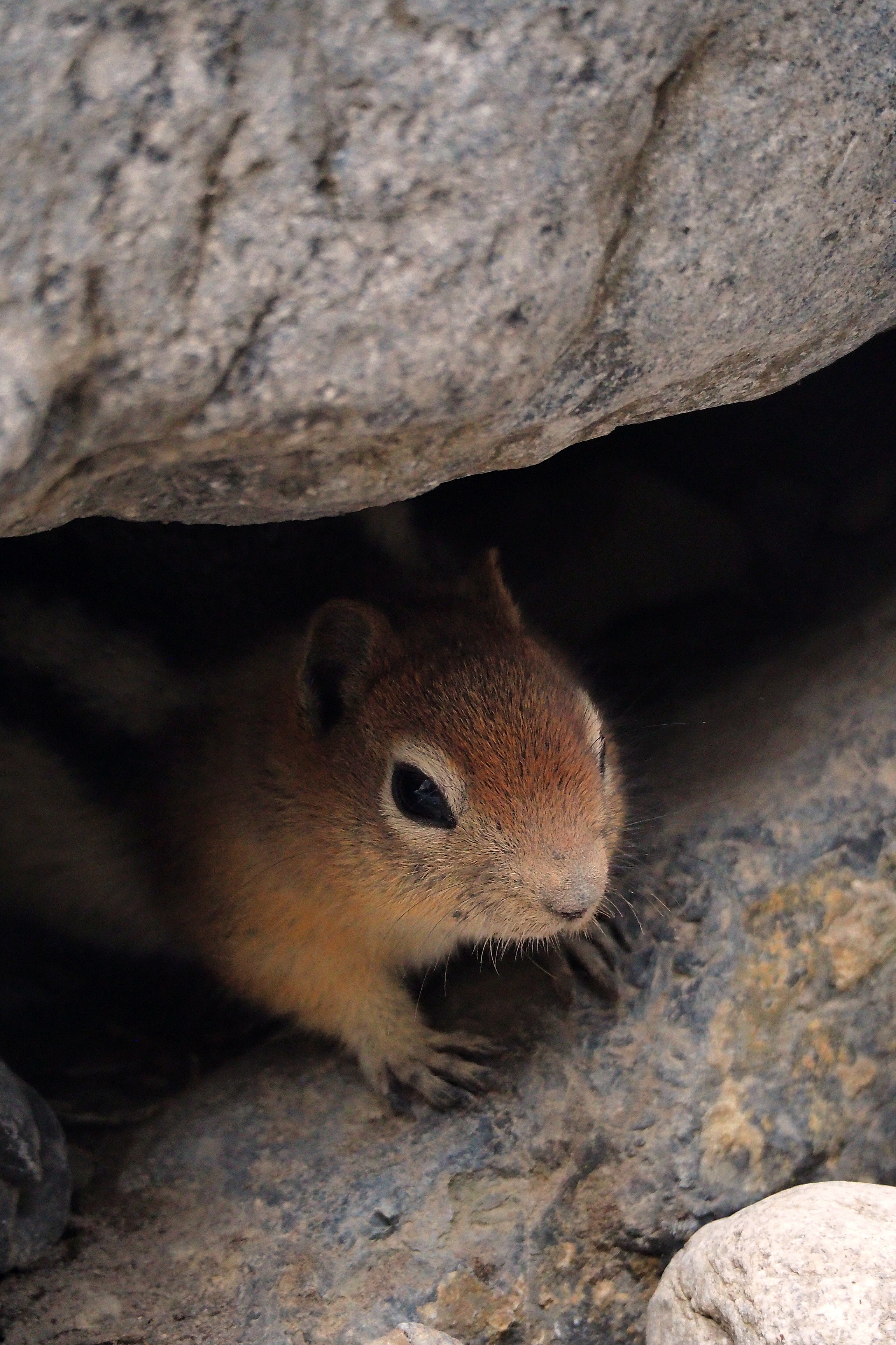
Golden-mantled ground squirrel in Grotto Canyon.Golden-mantled ground squirrel in Grotto Canyon.

We arrive at a part where the canyon forks to the left and where other climbers confront the high rock walls.
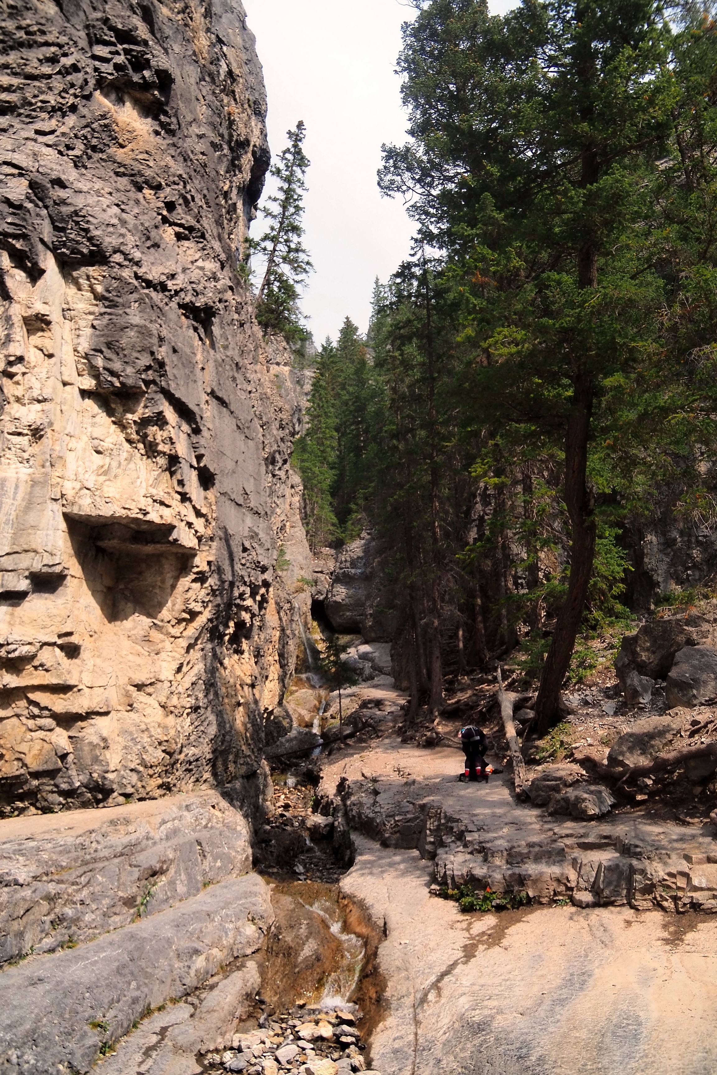
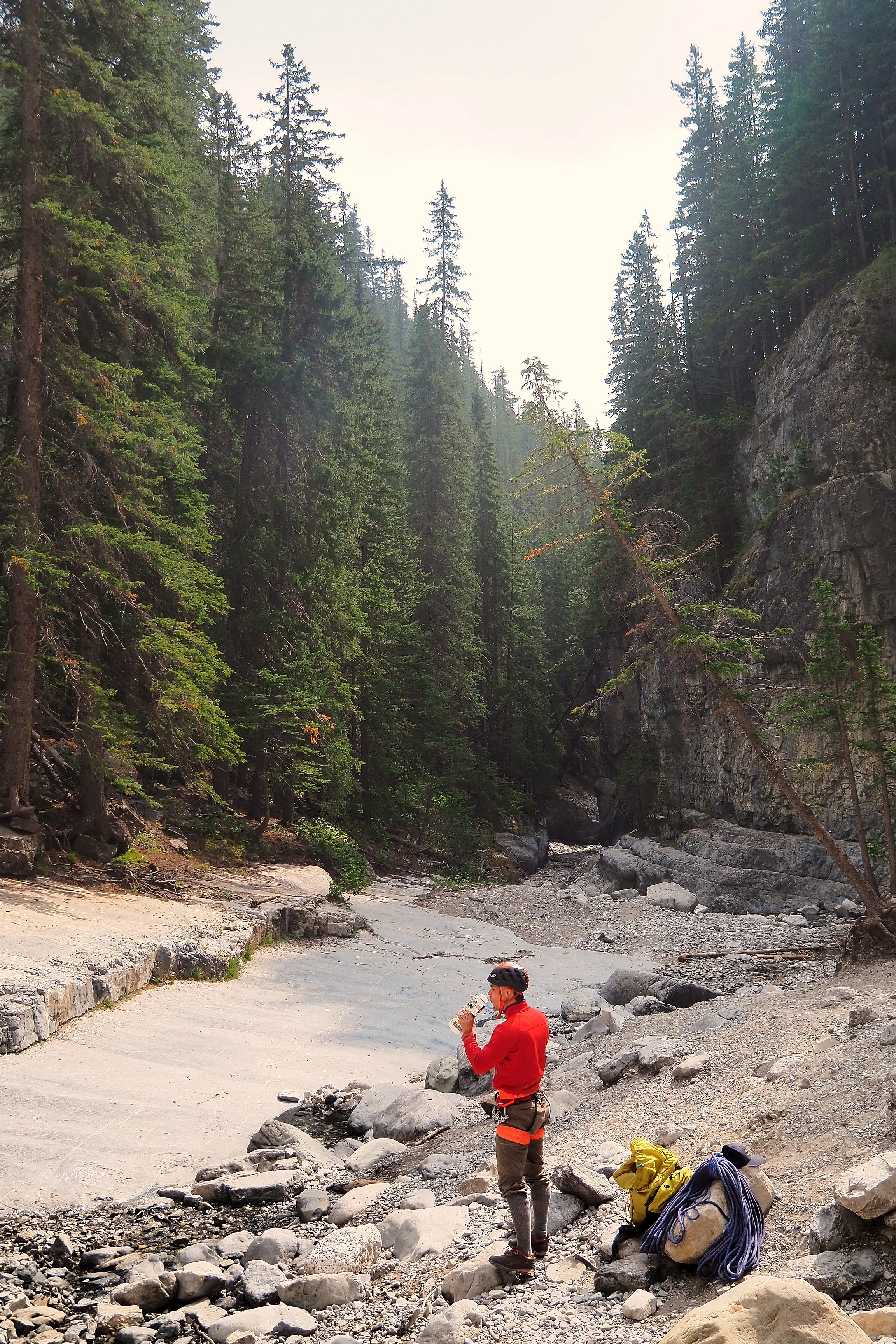
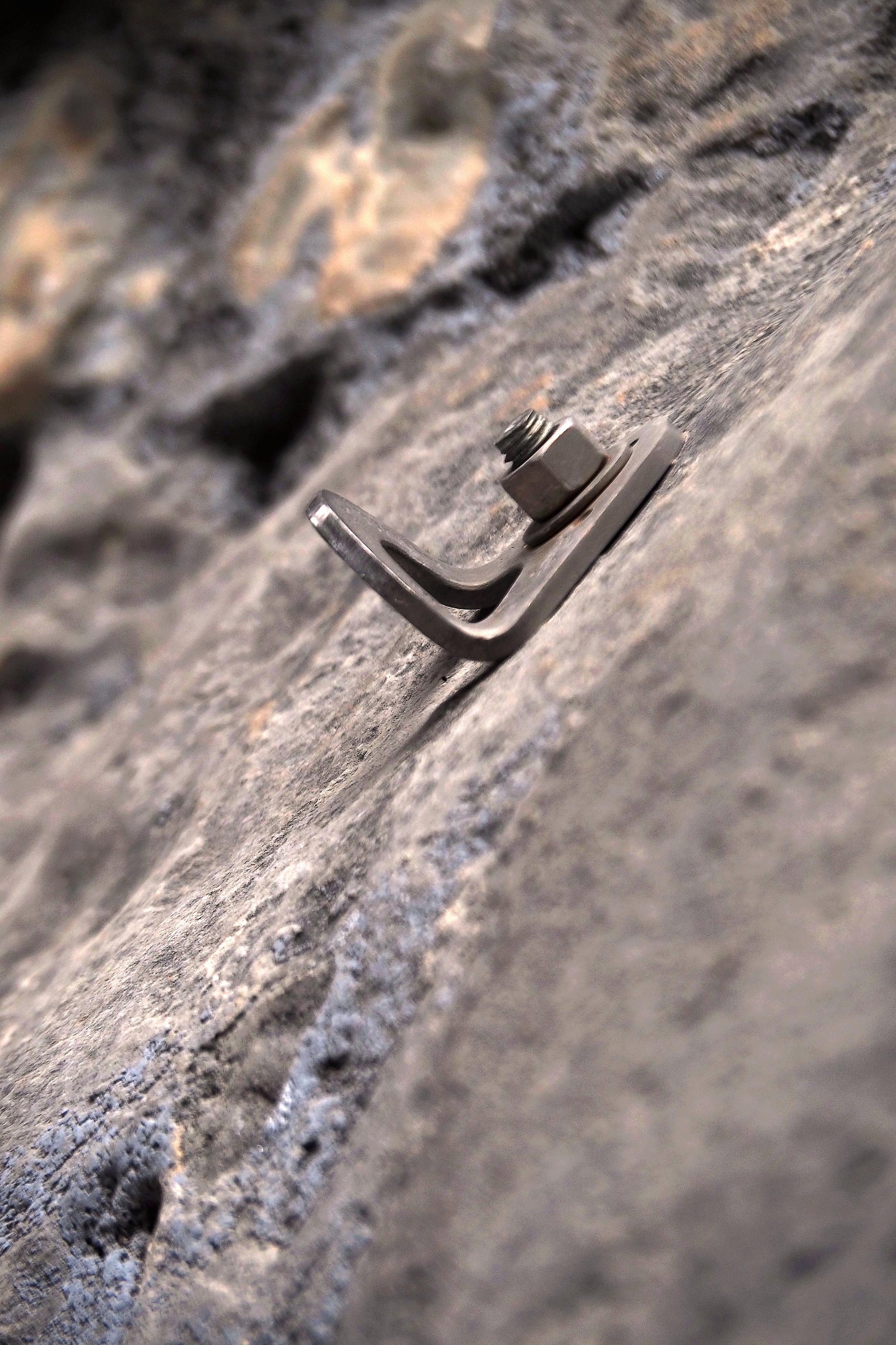
Hiking trail in Grotto Canyon.Climber in Grotto Canyon.Climbing anchor on the cliff face of Grotto Canyon.

It is here that we turn back to reach the car and get back on the road to reach the next stop, Grassi Lakes.

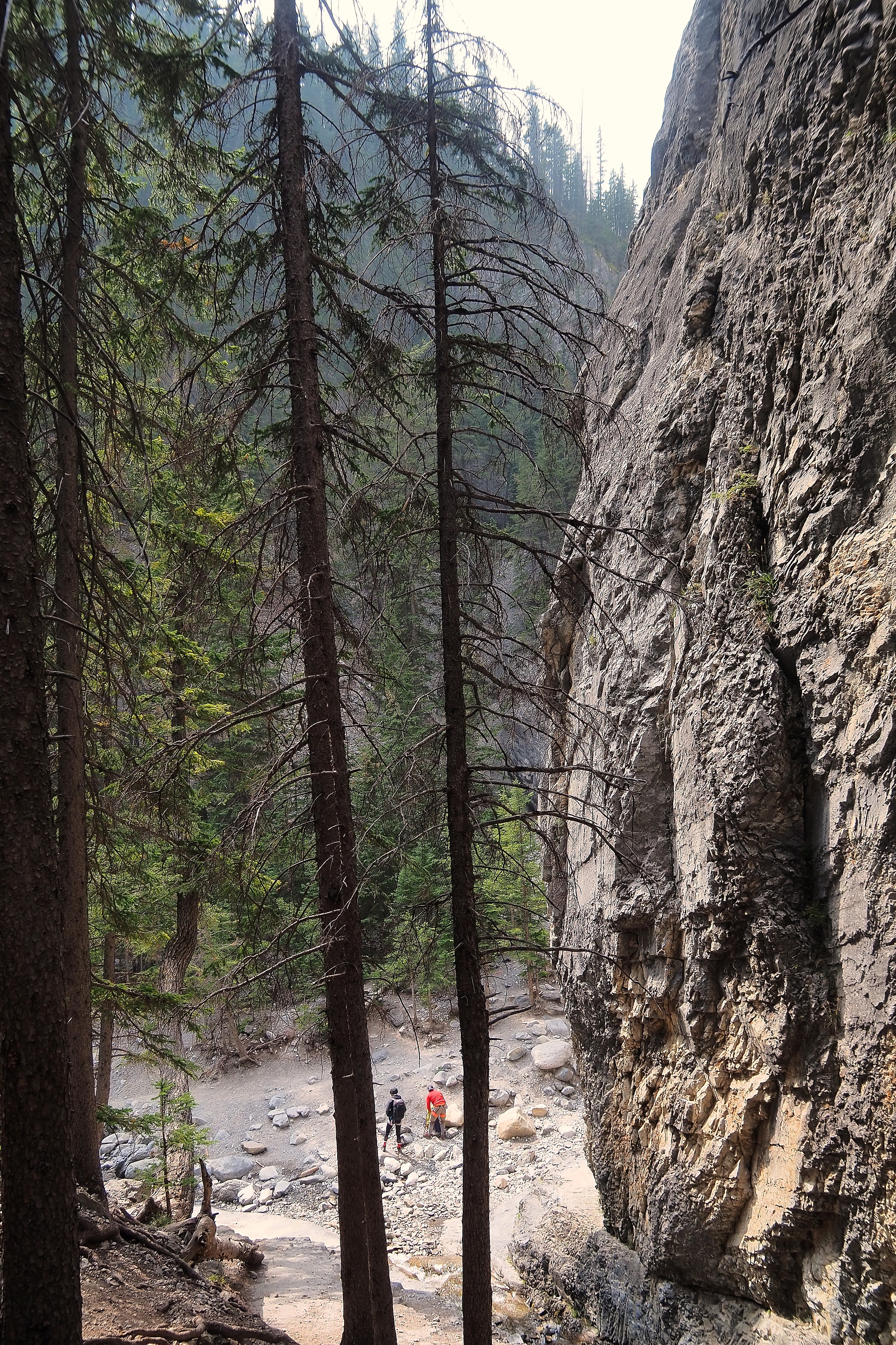
Cliff and forest on the Grotto Canyon trail.Cliff and forest along the Grotto Canyon trail.
Coniferous forest in front of the misty mountains of Grotto Canyon.

Grassi Lakes

Here we are at the parking lot that marks the beginning of the ascent to Grassi Lakes. Ha Ling Peak, visible in the foreground, is in front of Mount Grassi.

Misty mountains above the Grassi Lakes trailhead parking lot in Canmore.

Signposts remind visitors of the presence of large mammals in the Bow Valley at the trail entrance. Grizzlies frequent these coniferous forests in search of berries and prey. Carrying bear spray is a recommended preventive measure for users of this natural environment... For now, we are not yet equipped with pepper spray, but we will be soon.  
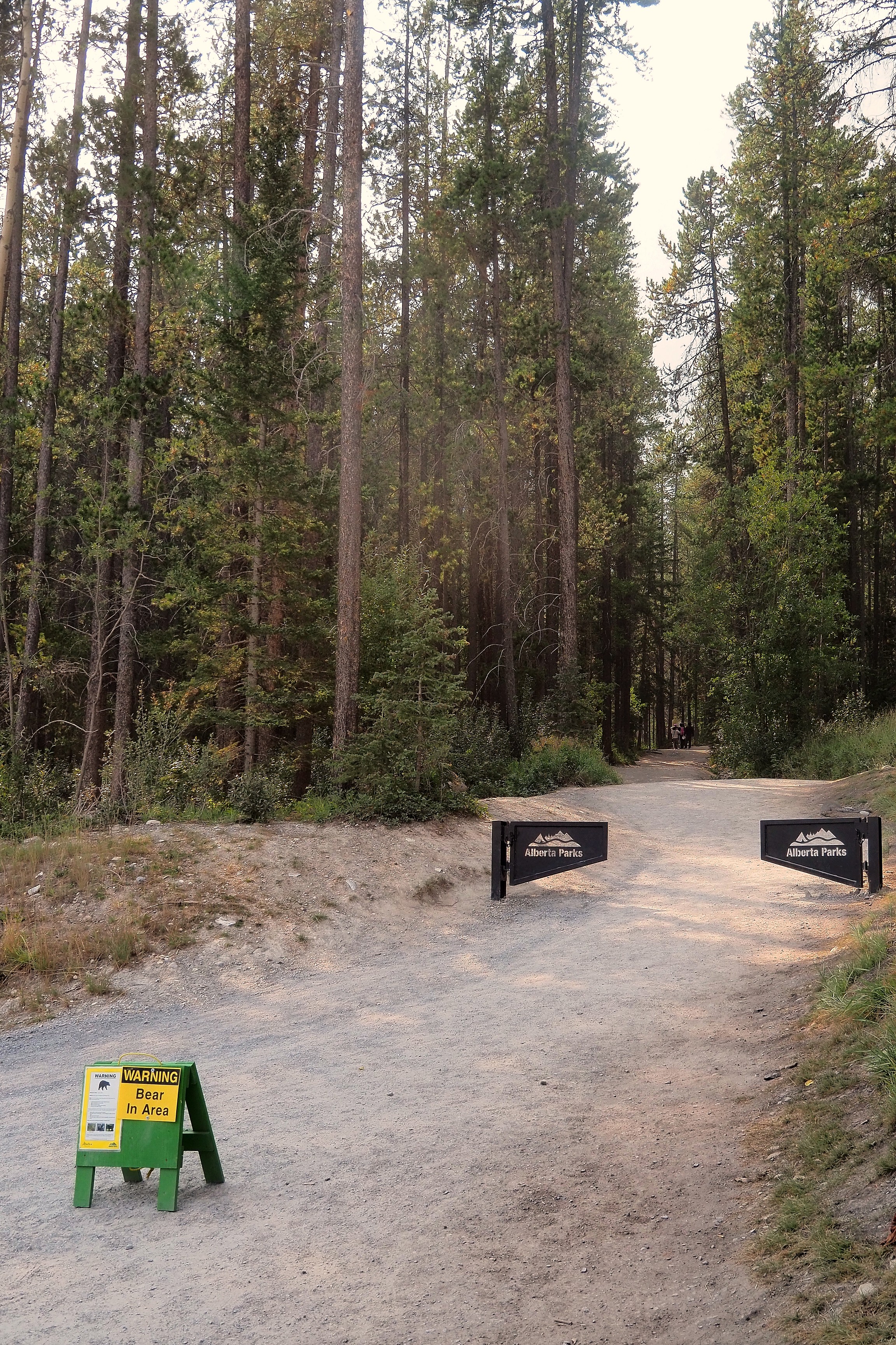
Bear warning sign on the Grassi Lakes trail.WildSmart grizzly bear safety information sign in Canmore.Black bear warning sign on the Grassi Lakes trail, managed by Alberta Parks.

The trail leading to Grassi Lakes crosses a subalpine forest dominated by Lodgepole Pine (Pinus contorta) and White Spruce (Picea glauca). In the background stands the dizzying face of Ha Ling Peak. This limestone summit owes its name to a Chinese cook from Canadian Pacific who climbed it in 1896 to win a bet.   We will climb its summit tomorrow!    

Hikers on the Grassi Lakes trail with a view of Mount Ha Ling.

Here is the first lake of the hike.

Turquoise waters and coniferous forest at Grassi Lakes, near Canmore.

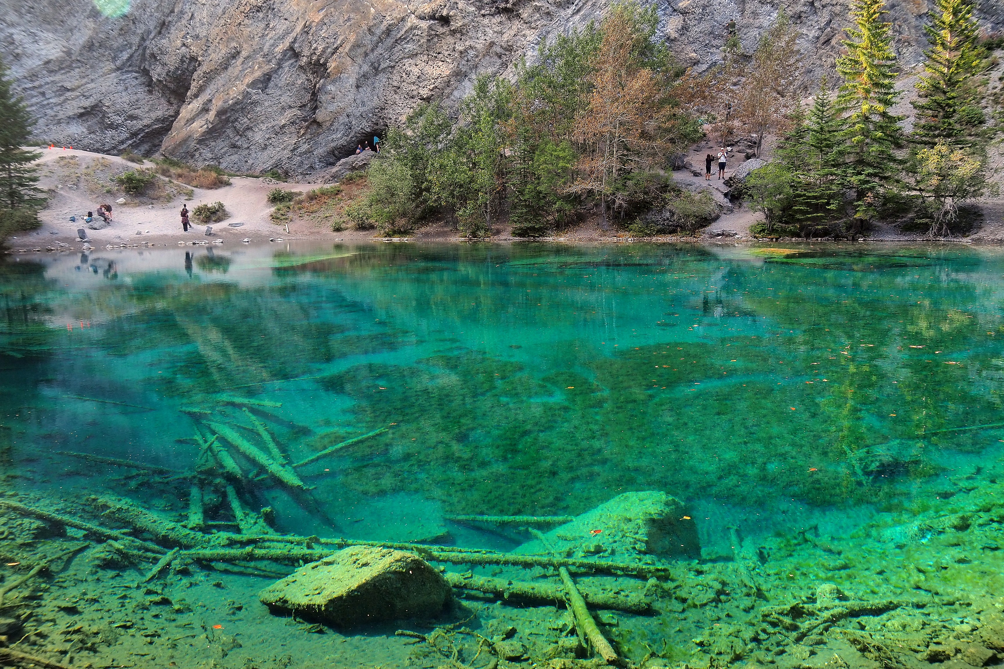
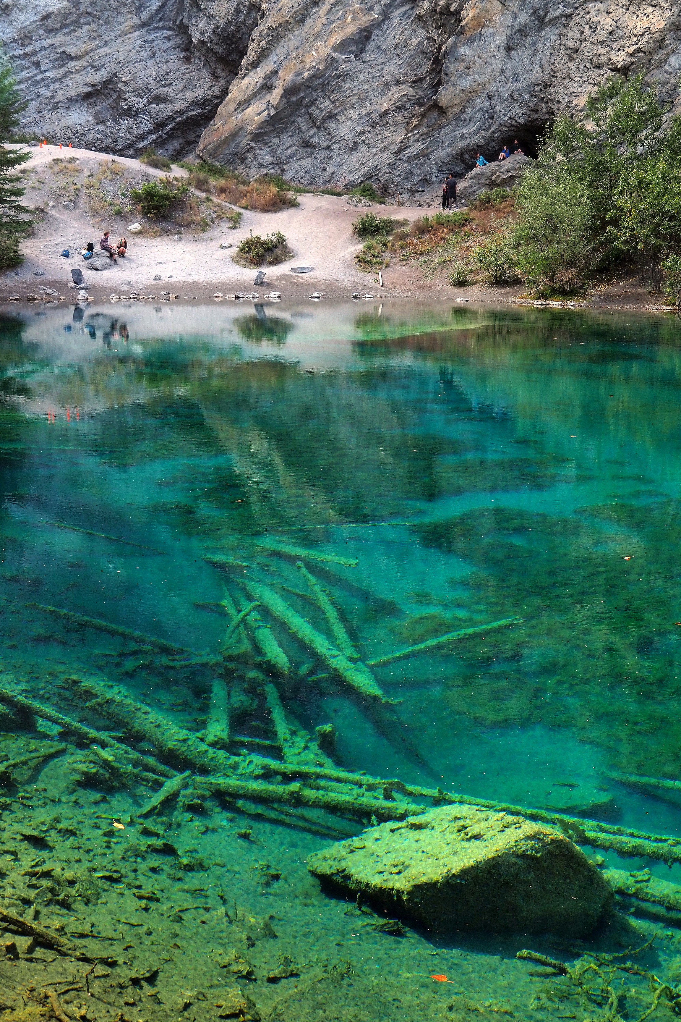
The transparency of Grassi Lakes reveals a bed of calcareous sediments at the foot of the mountains. This emerald coloration is explained by the purity of the water filtered through the Rocky Mountain rock before reaching the basin. In the background, Ha Ling Peak rises above a dense forest of lodgepole pines (Pinus contorta). A "chimney" is visible on the slope, evidence of the hydroelectric development that connects this site to the Whitemans Pond reservoir.

Turquoise water of Grassi Lakes and coniferous forest at the foot of the mountains in Canmore.

The "rock flour" from glacial erosion diffuses sunlight to generate the blue-green coloration of the waters.

Turquoise lake and coniferous forest with smoke reflections at Grassi Lakes.

The panoramic view of the Rundle Forebay reservoir, a water retention for the hydroelectric system of the Canmore region.

Hikers on the Grassi Lakes trail with a view of the Goat Pond reservoir and Mount Rundle.View of the Grassi Lakes reservoir and the valley in the Rocky Mountains near Canmore.

Be sure to stay on the trail!

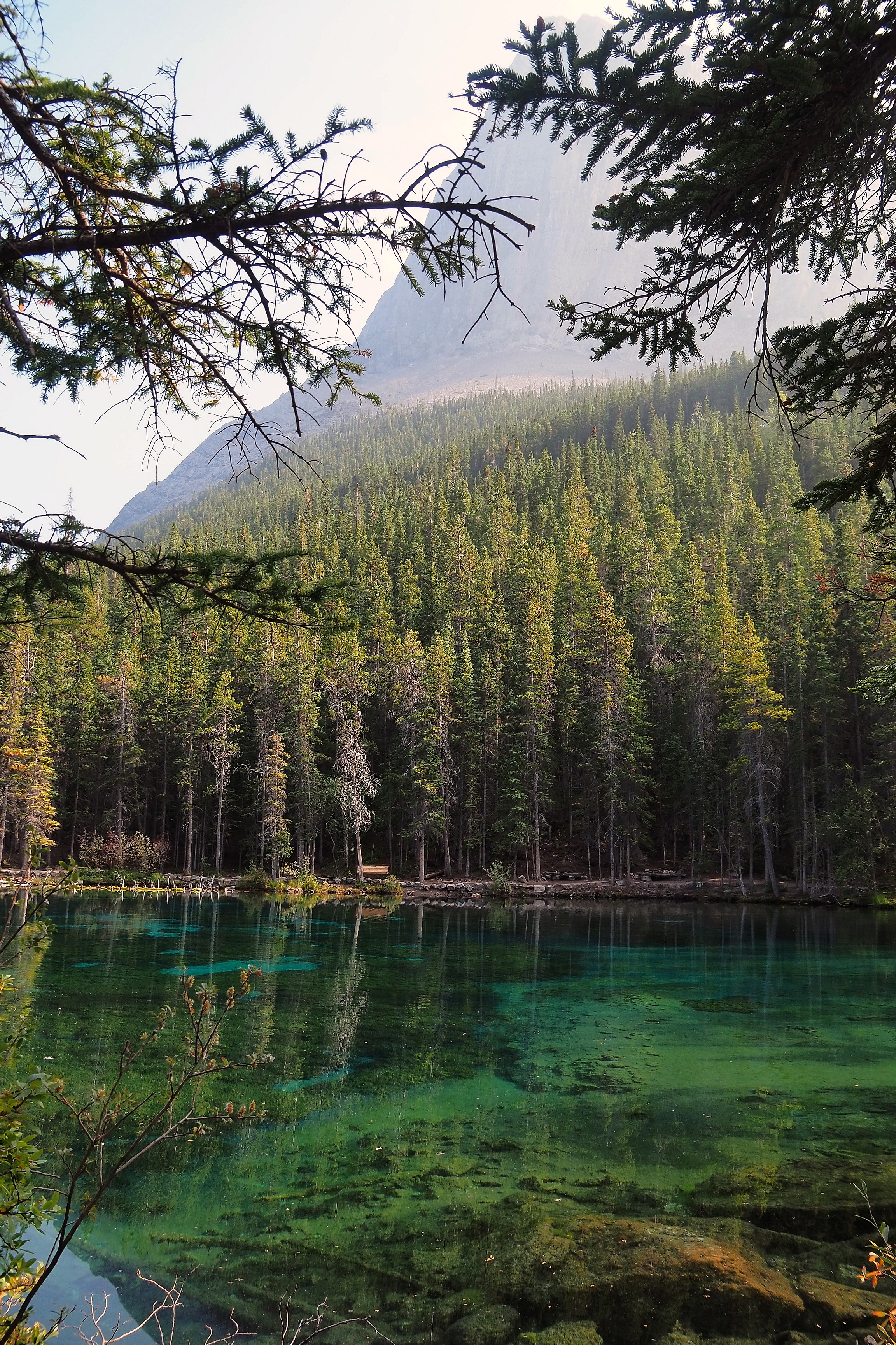
Flora protection awareness sign on the Grassi Lakes trail.Environmental protection sign at Grassi Lakes.Emerald Lake within Grassi Lakes, bordered by a coniferous forest and mountainous terrain.
Reflection of the forest and mountain in the turquoise waters of Grassi Lake, in Canmore.Couple in front of the forest bordering Grassi Lakes.
Reflection of the coniferous forest in the turquoise waters of Grassi Lakes, Alberta.

"Brilliant minerals give the water a luminous blue, while green algae nourish the food chain. Why is the water so blue? When glaciers melt and feed mountain lakes, silt, or 'rock flour,' comes from rocks broken by glacial erosion. Grassi Lakes owe their vibrant blue color to sunlight reflecting off these silt particles. Bright green algae produce oxygen for swimming insects. These valuable prey allow diving birds like the American Dipper to live here year-round. The American Dipper is Alberta's only aquatic songbird. It depends on fresh, clean running water, making it a key indicator of water quality."

Interpretation sign about the color of the water at Grassi Lakes.Log jam on the shores of Grassi Lakes in Canmore.
Stream and forest trail near Grassi Lakes.Bench along the Upper Grassi Lakes trail, in the forest near Canmore.

The pond extends a little further.

Emerald Lake and the cliffs of Grassy Lakes, near Canmore.
Submerged logs in the turquoise waters of Grassi Lakes in Canmore.Tree trunks on the shore of Grassi Lake, near Canmore.
Emerald Lake under the Grassi Lakes cliff.

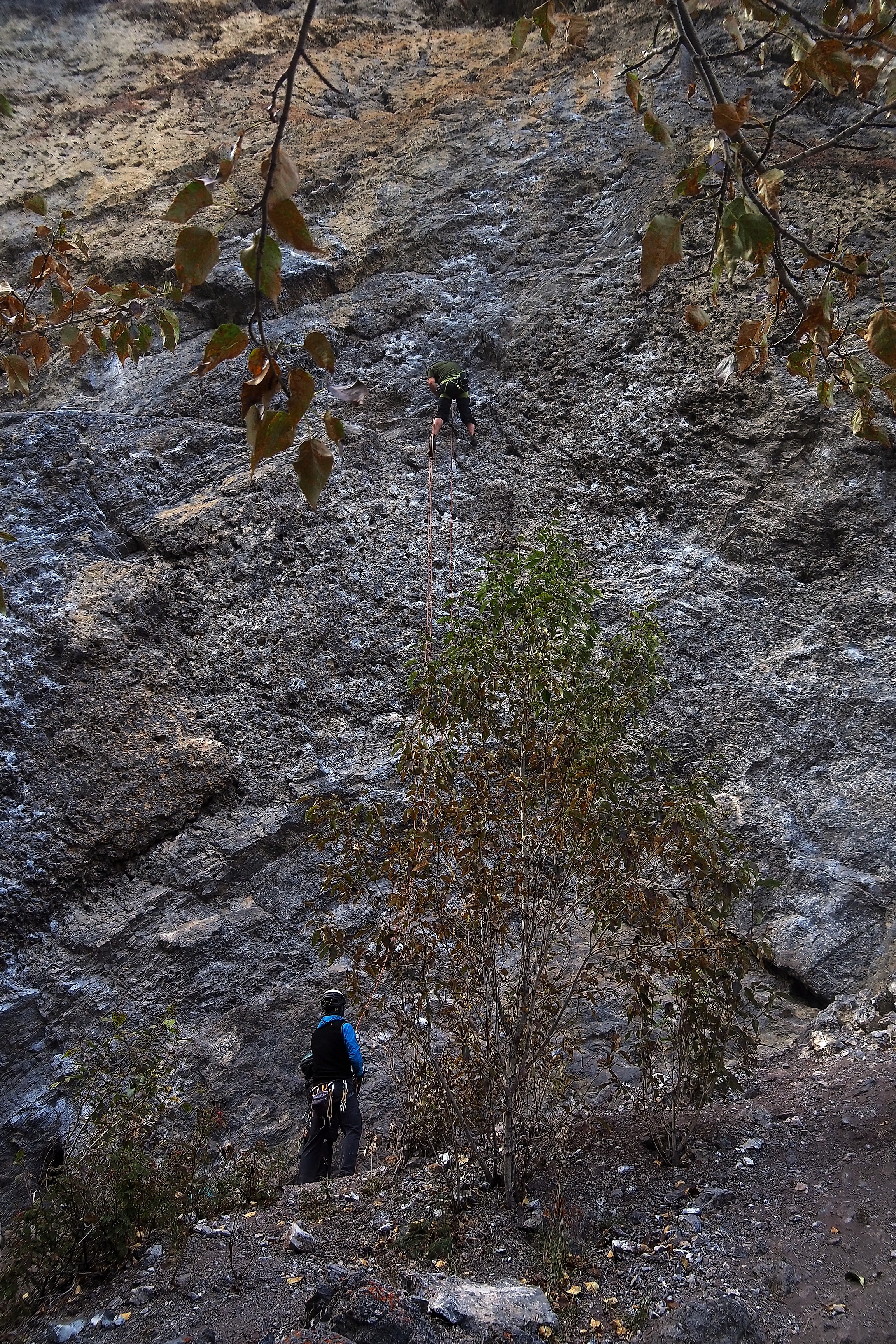
Who says cliff, says climbing...  

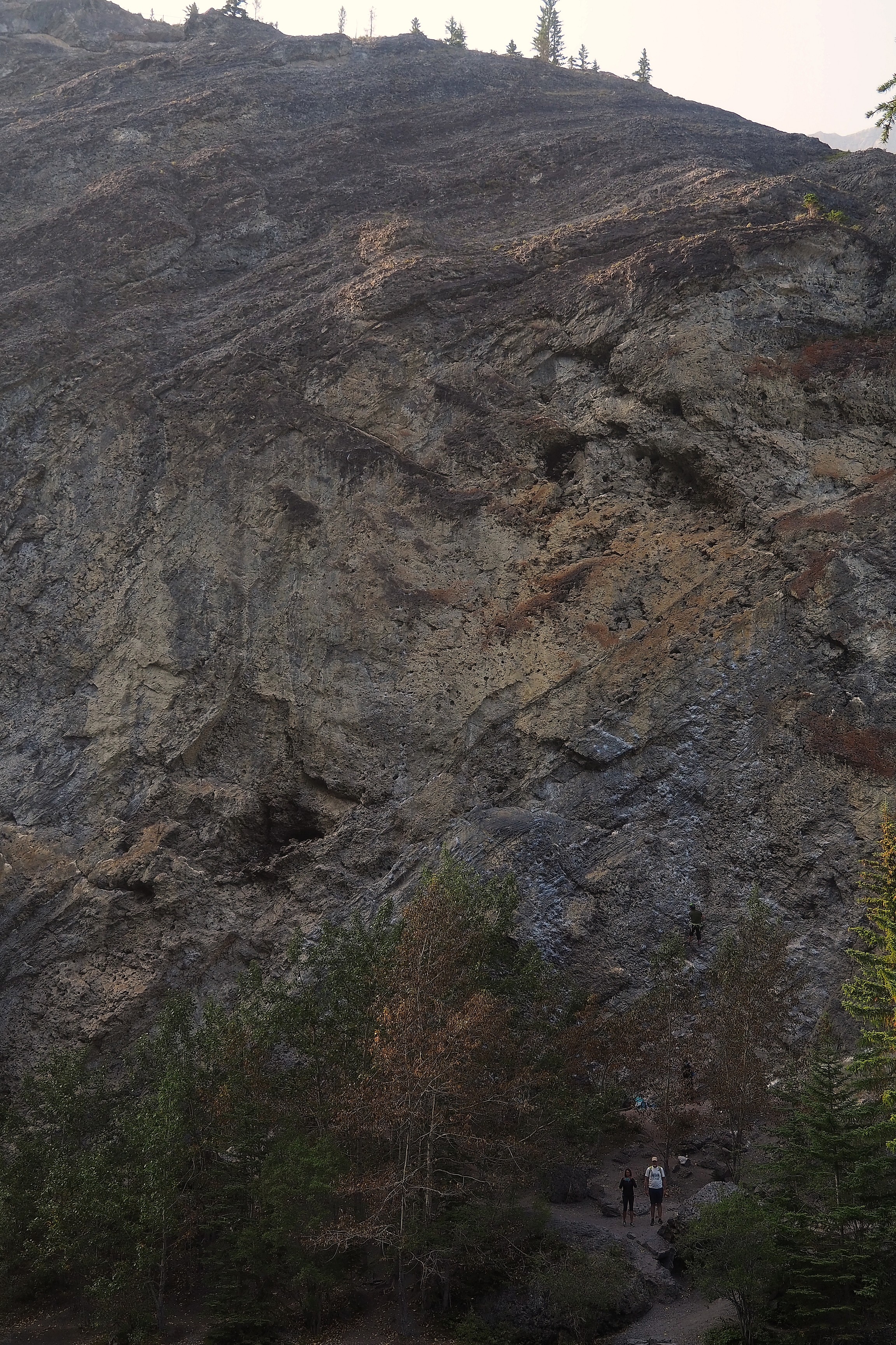
Climbing cliff at Grassi Lakes, near Canmore.Rock climbing on the Grassi Lakes cliff in Canmore.
Immersed trunks in the turquoise waters of Grassi Lakes, under the Canmore cliffs.
Submerged trunks in the turquoise waters of Grassi Lakes, near Canmore.
Climbing cliff at the edge of Grassi Lakes, in Canmore.
Submerged trunks in the turquoise waters of Grassi Lake, near Canmore.
Conifer branch overlooking the turquoise waters of Grassi Lakes.Cliff climbing at the edge of Grassi Lakes.Dead branch overlooking the turquoise waters of Grassi Lakes.
Reflection of the coniferous forest in the turquoise waters of Grassi Lakes in Canmore.
Hiker on the stairs of the Grassi Lakes trail.
Hikers in front of the cliff overlooking the turquoise waters of Grassi Lakes.
Climber at the foot of a climbing route on the Grassi Lakes cliff, near Canmore.Climber and belayer on a climbing route at Grassi Lakes, near Canmore.
Reflection of the pine forest on the waters of Grassi Lakes, near Canmore.
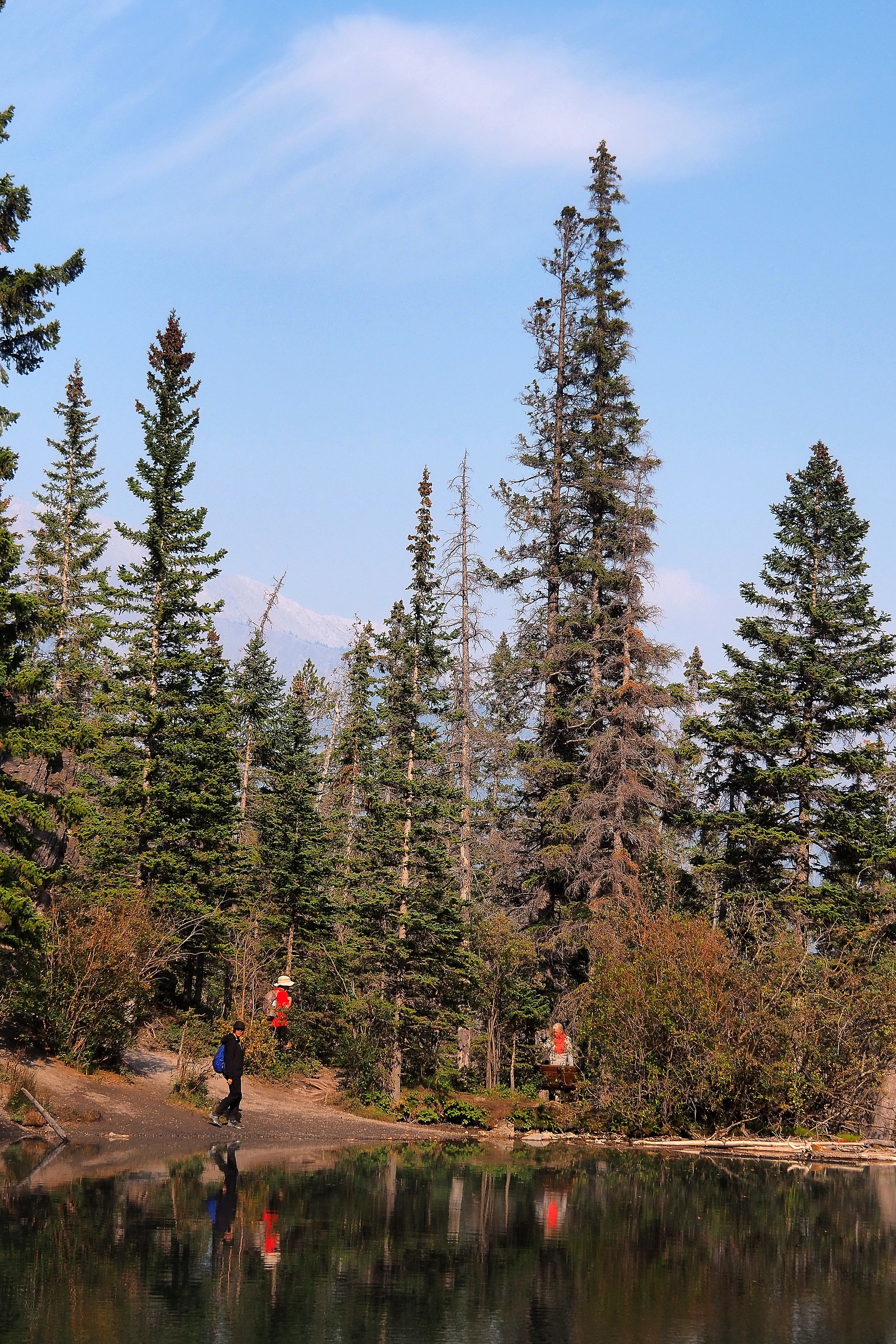
Hikers at the lakeshore at Grassi Lakes, near Canmore.Hikers near Grassi Lakes with a view of Ha Ling Peak, Canmore.

A commemorative plaque honors Lawrence Grassi, who gave his name to the lakes. He was an Italian-born miner and mountain guide, born in 1890. The inscription describes him as a "master trail builder" for his work in blazing trails in the Canadian Rockies.

Commemorative plaque in honor of Lawrence Grassi near Grassi Lakes.Commemorative plaque in honor of Lawrence Grassi on the Grassi Lakes trail, in Alberta.
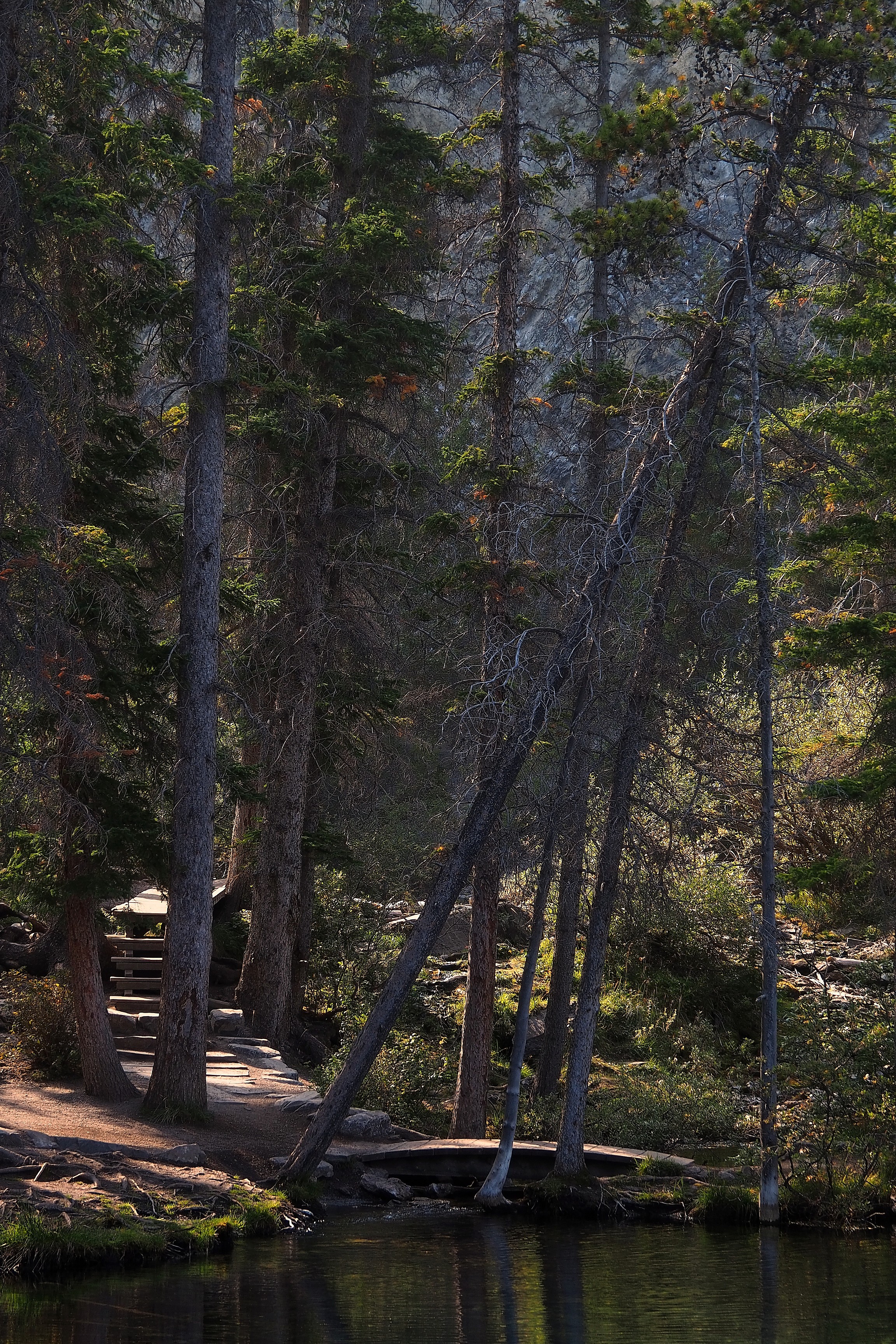
Trail and fir trees at the edge of Grassi Lakes.Trail and staircase in the forest near Grassi Lakes.

A brook trout (Salvelinus fontinalis)?  

Reflections of trees in the turquoise waters of Grassi Lake, near Canmore.Trout in the turquoise waters of Grassi Lake.Immersed trunks in the waters of Emerald Lake, Grassi Lakes.
Immersed trunks in the turquoise waters of Grassi Lakes, near Canmore.

In the distance, the town of Canmore in the Bow Valley.
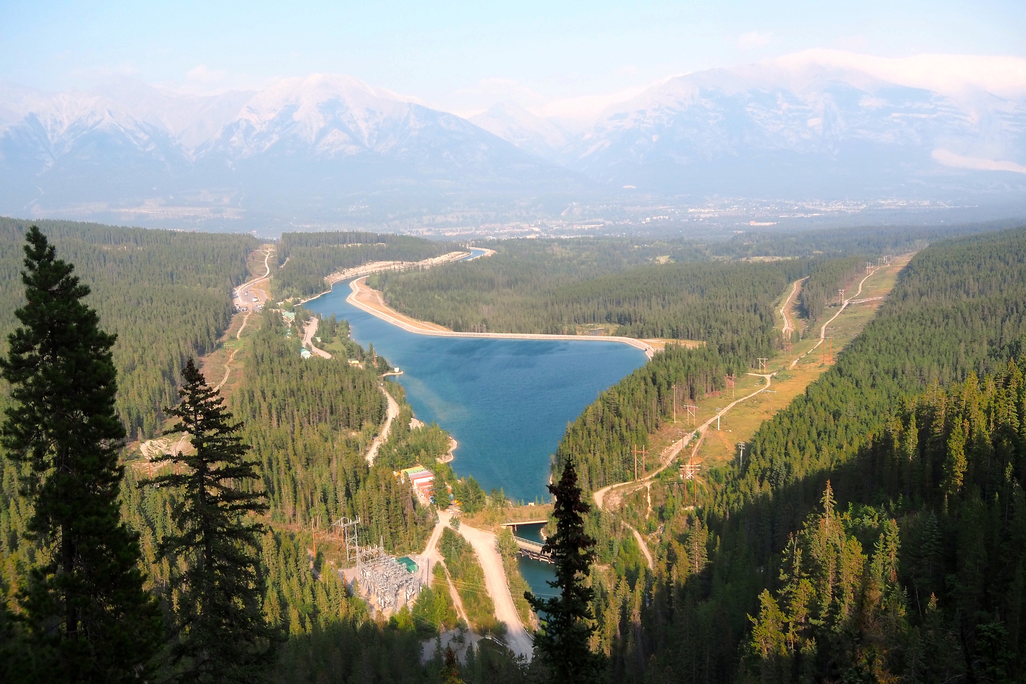
Rundle Forebay reservoir in the Bow Valley near Canmore.View of the town of Canmore and Mount Grotto in the Rockies.

Back down.

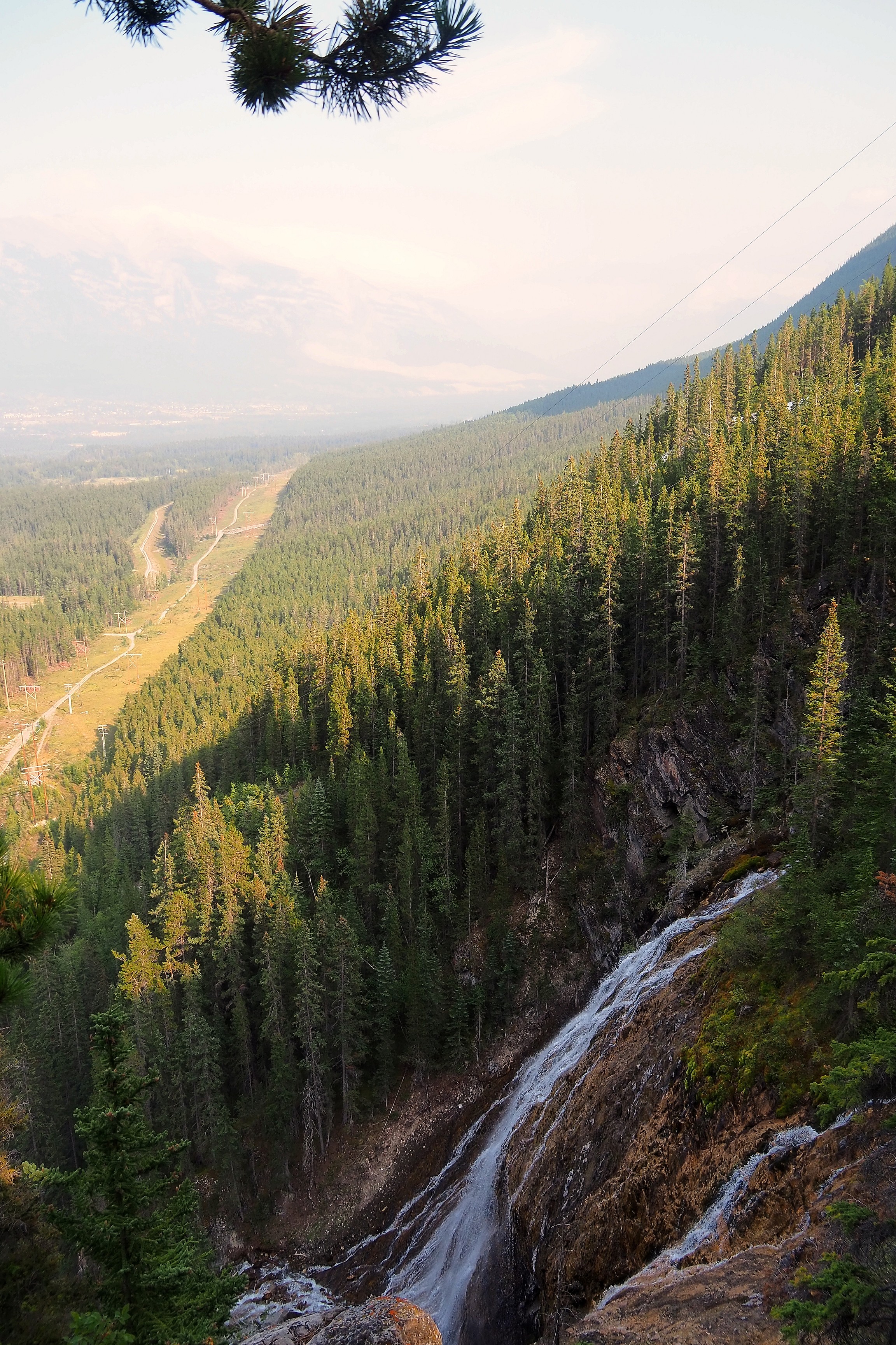
Waterfall along the wooded slopes of the valley, near Grassi Lakes in Canmore.Waterfall at the foot of Mount Rundle, near Grassi Lakes in Canmore.
View of the Bow River reservoir from the Junkyard trail, in the Rocky Mountains.
Wooden bench on the Grassi Lakes trail in Canmore.Hikers on the Grassi Lakes trail in Canmore.

Kananaski Bow River

After some errands in Canmore, we settle into the Bow Valley Campground.

Campsite under the trees in Kananaskis Provincial Park.

In addition to provisions, you have to buy your wood. This won't always be the case later in the trip, as campsites sometimes provide wood directly on site. You also have to buy a permit to light your fire: 11 Canadian dollars, or about 7 euros (per day!).  
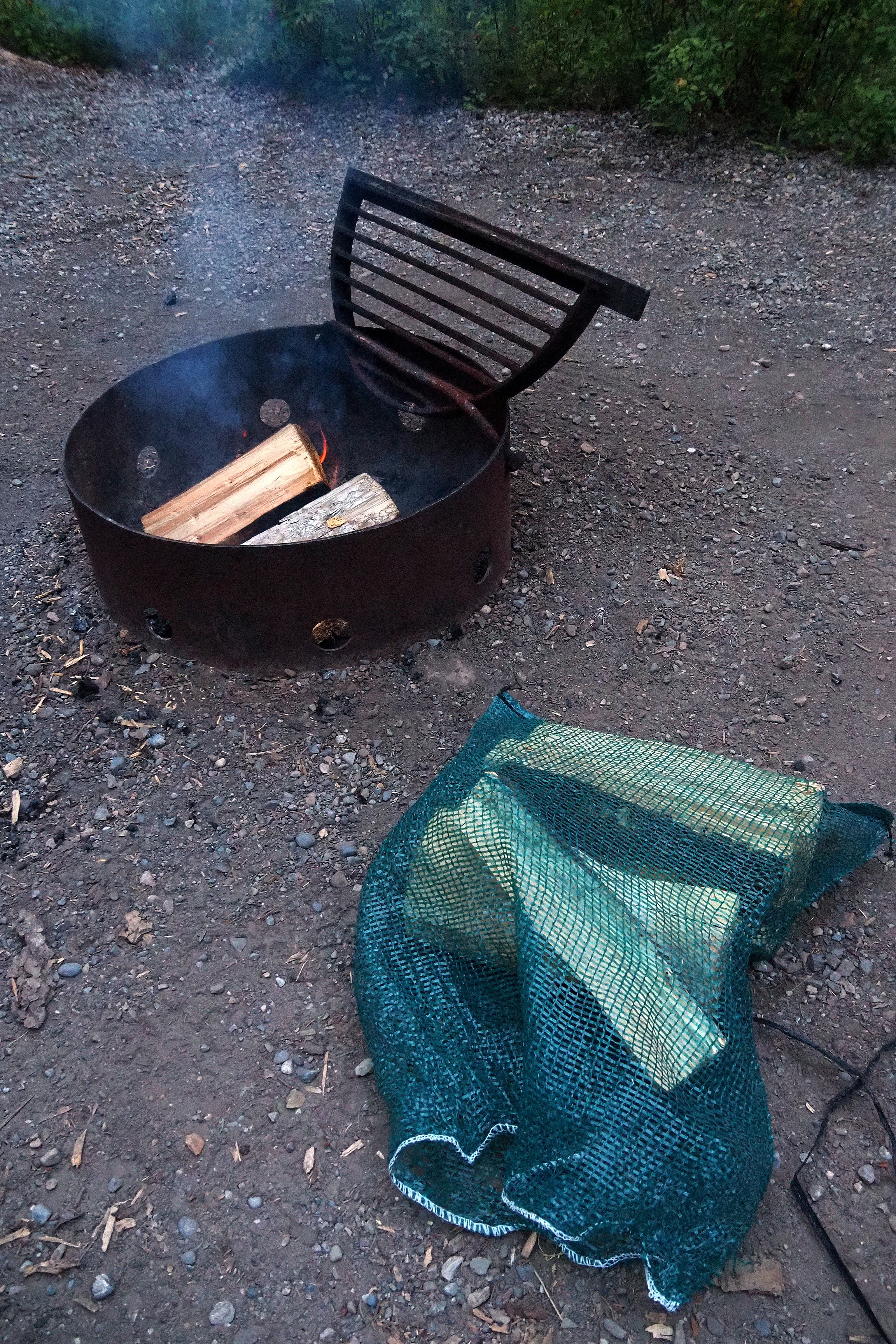
Campfire pit and wood supply in Kananaskis.Campfire on the Bow River Trail in Kananaskis Valley.

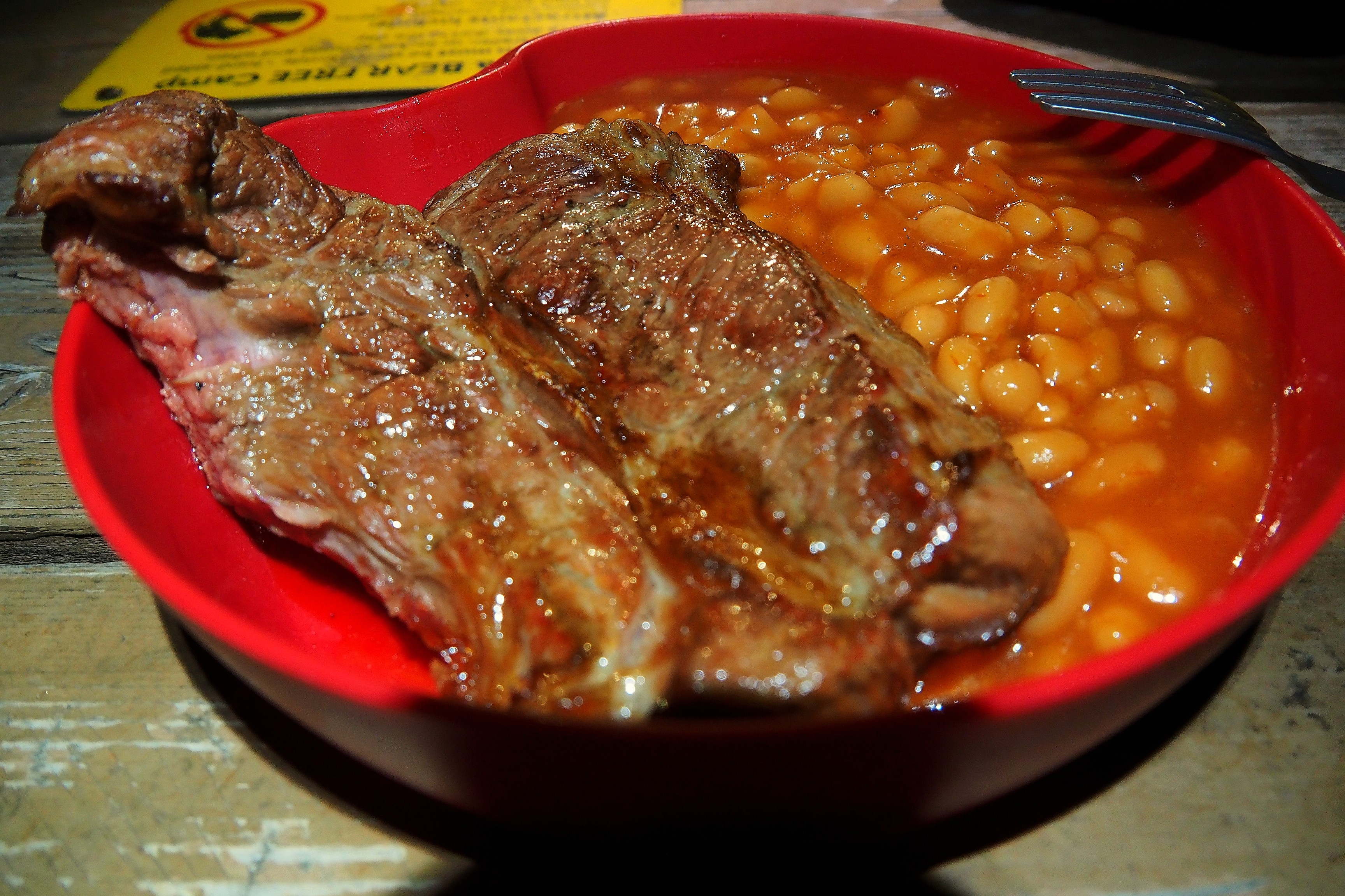
It'll be beef and beans for this first barbecue!

Steak on a grill over a campfire in the Kananaskis region.Pork ribs and beans on a plate in Kananaskis.

First cool morning wake-up, Bow Valley Campground is at 1270 m altitude... It doesn't show in the photos, but it's about 5 degrees Celsius when you wake up  ! Tough to have breakfast, but by bundling up in several layers, it's manageable!  

Tent and car on the Bow River trail in Kananaskis Valley.Picnic table and campfire pit in the Kananaskis region.

The view from the campground's restrooms.

Mountain range in the Kananaskis Country region, in the heart of the Rockies.
Information sign at the start of the Kananaskis Country trails.

Canmore

Stop in Canmore to buy lunch for the picnic.

View of Mount Ha Ling and the East End of Rundle from downtown Canmore.Misty street with a view of the Rocky Mountains in Canmore.

Kananaskis Ha Ling Trail

Here we are almost in the same spot as yesterday, just a little higher, above Grassi Lakes, at Whitemans Pond reservoir. The low water level reveals tree stumps, remnants of the forest that was cut down and submerged when the dam was filled.

Fisherman on the dry shores of Spray Lake, in Kananaskis Valley.Tree stumps on the dry bed of the Spray Lakes reservoir, in Kananaskis Valley.
Cliff overlooking the Spray Lakes reservoir in Kananaskis Valley.

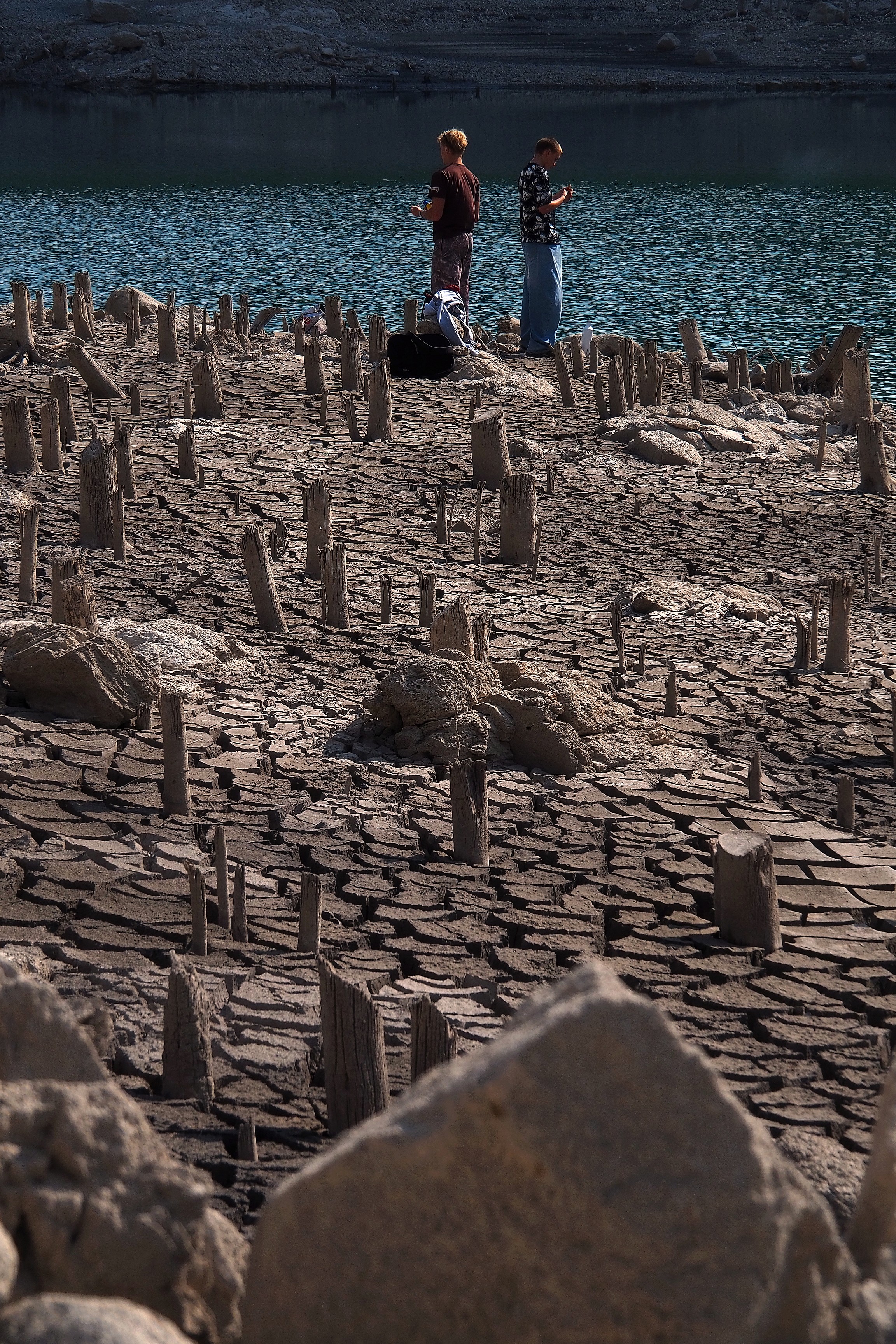
This tree graveyard dates back to the early 1950s, when the hydroelectric complex on the Spray River was developed. Before the dam was filled, a mixed forest dominated by Engelmann Spruce (Picea engelmannii) and Lodgepole Pine (Pinus contorta) occupied the bottom of this glacial valley. The trees were cut down and the deliberate flooding stopped the decomposition of the wood, preserving these stumps which only reappear when the reservoir levels drop.
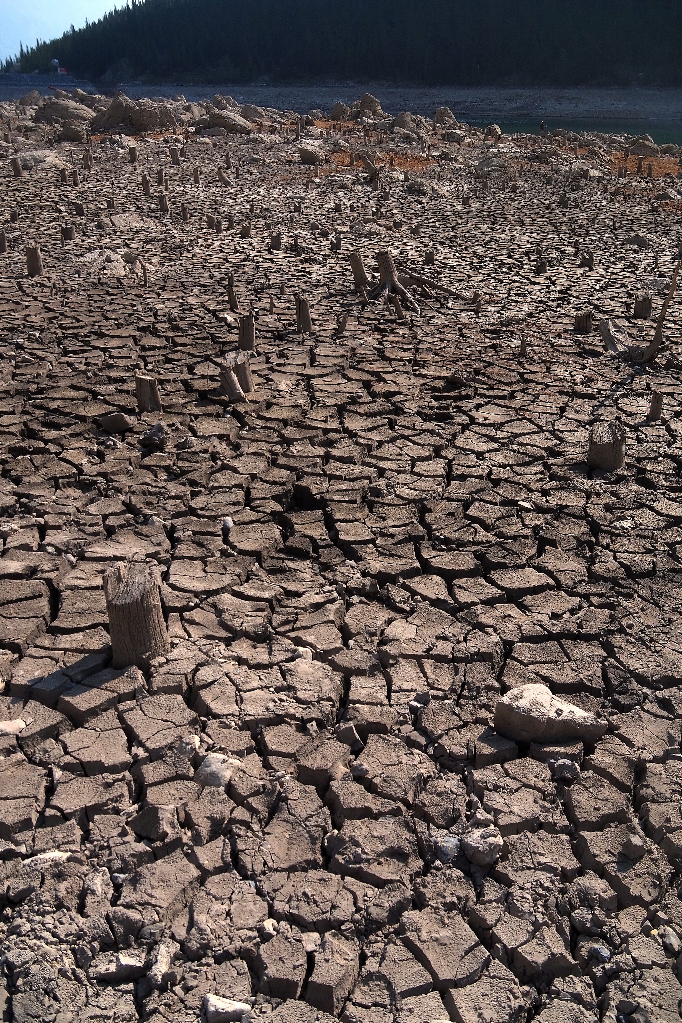
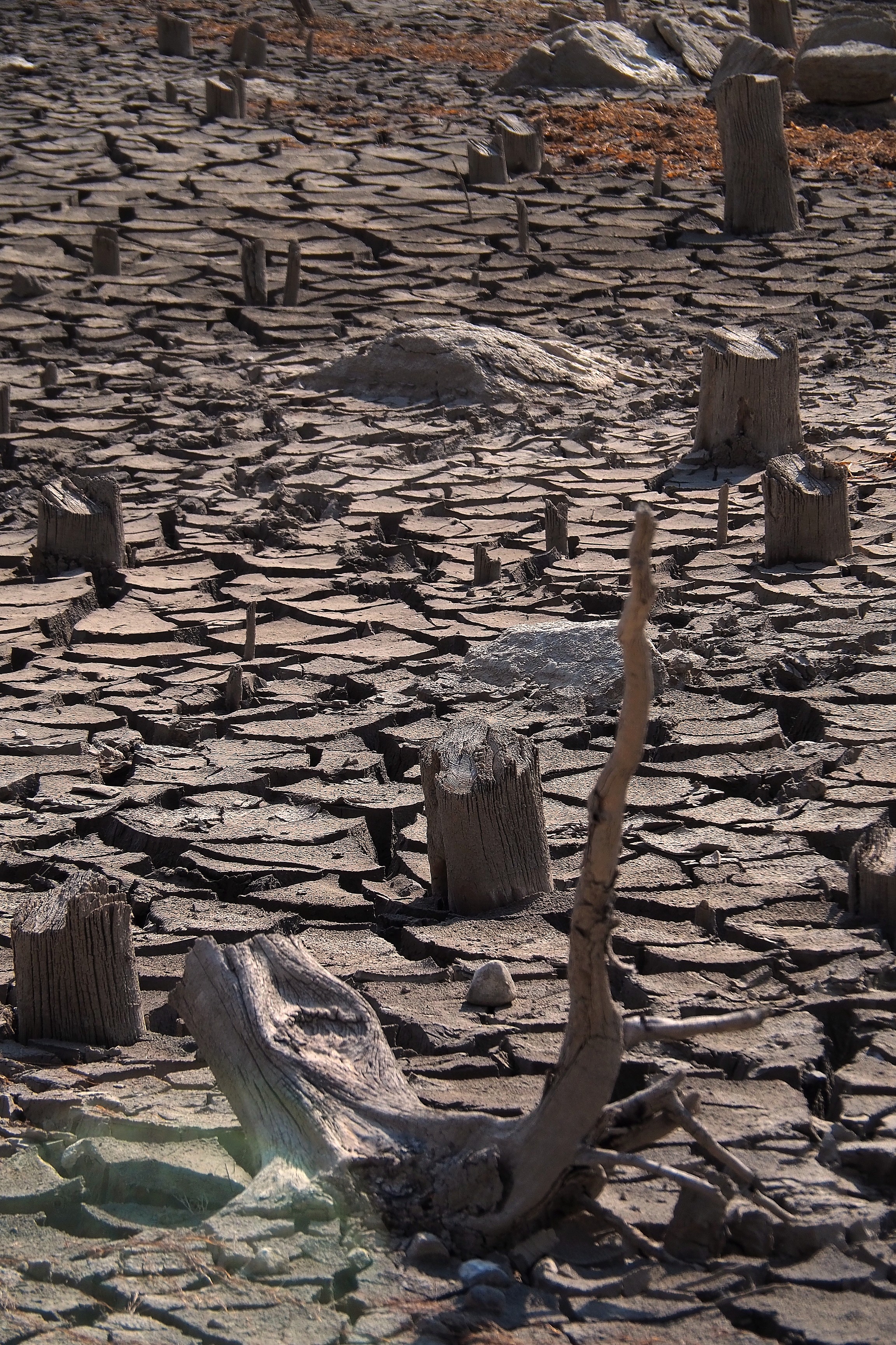
Tree stumps on the dry bed of the Spray Lakes Reservoir in Kananaskis Valley.Tree stumps on the cracked ground of the Spray Lakes Reservoir banks in Kananaskis Valley.Tree stumps on the cracked ground of the Spray Lakes Reservoir in Kananaskis Valley.
Tree stumps on the dried-up shores of the Spray Lakes Reservoir in Kananaskis.
Tree stumps on the shore of the Spray Lakes Reservoir in Kananaskis Valley.Exposed tree stumps on the dried-up banks of the Spray Lakes Reservoir in Kananaskis Valley.

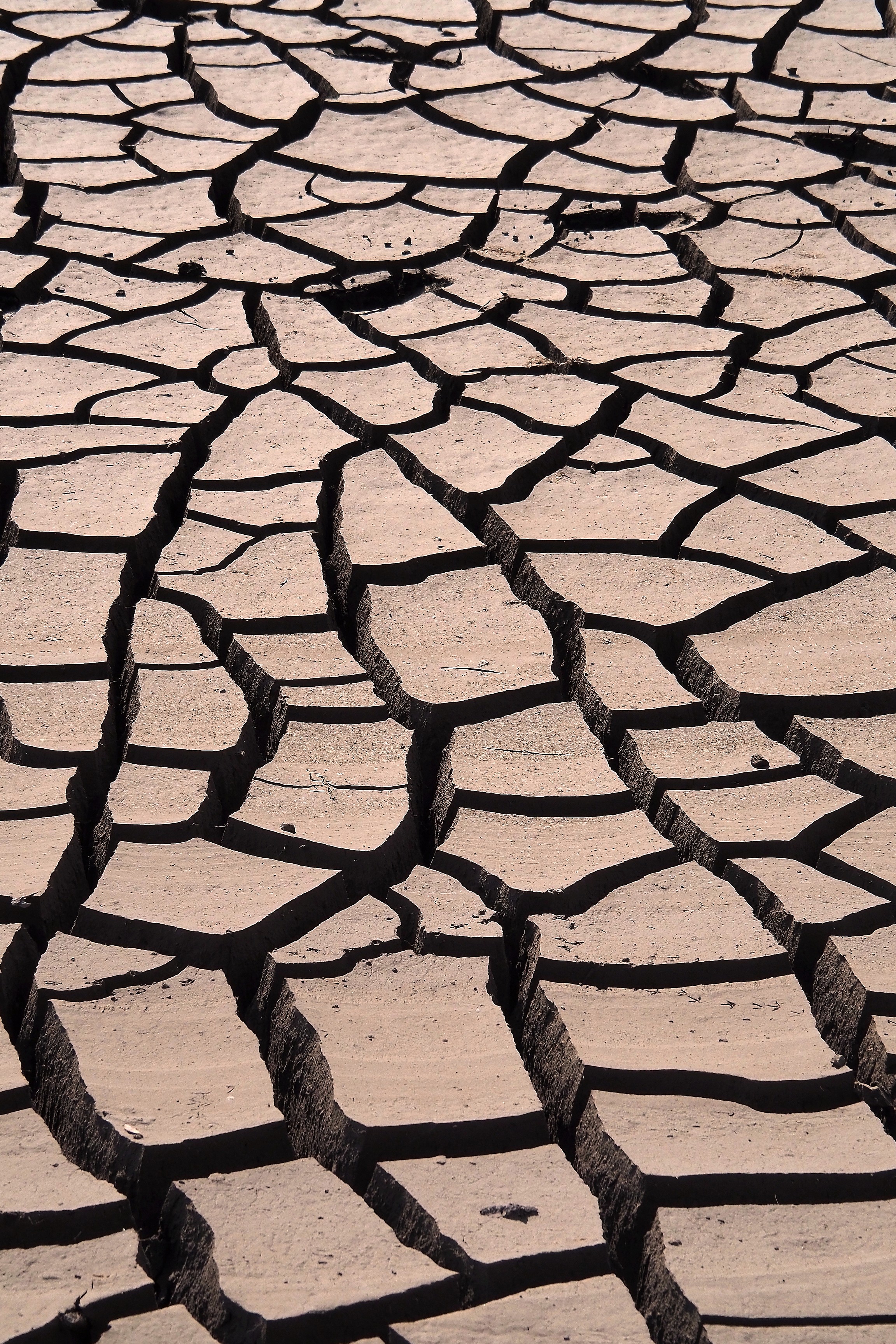
The drop in water level exposes clay sediments to the open air, causing a phenomenon of shrinkage by desiccation. This mud, rich in glacial rock flour, loses its volume as it dries, creating these networks of polygonal fractures characteristic of soils without vegetation.

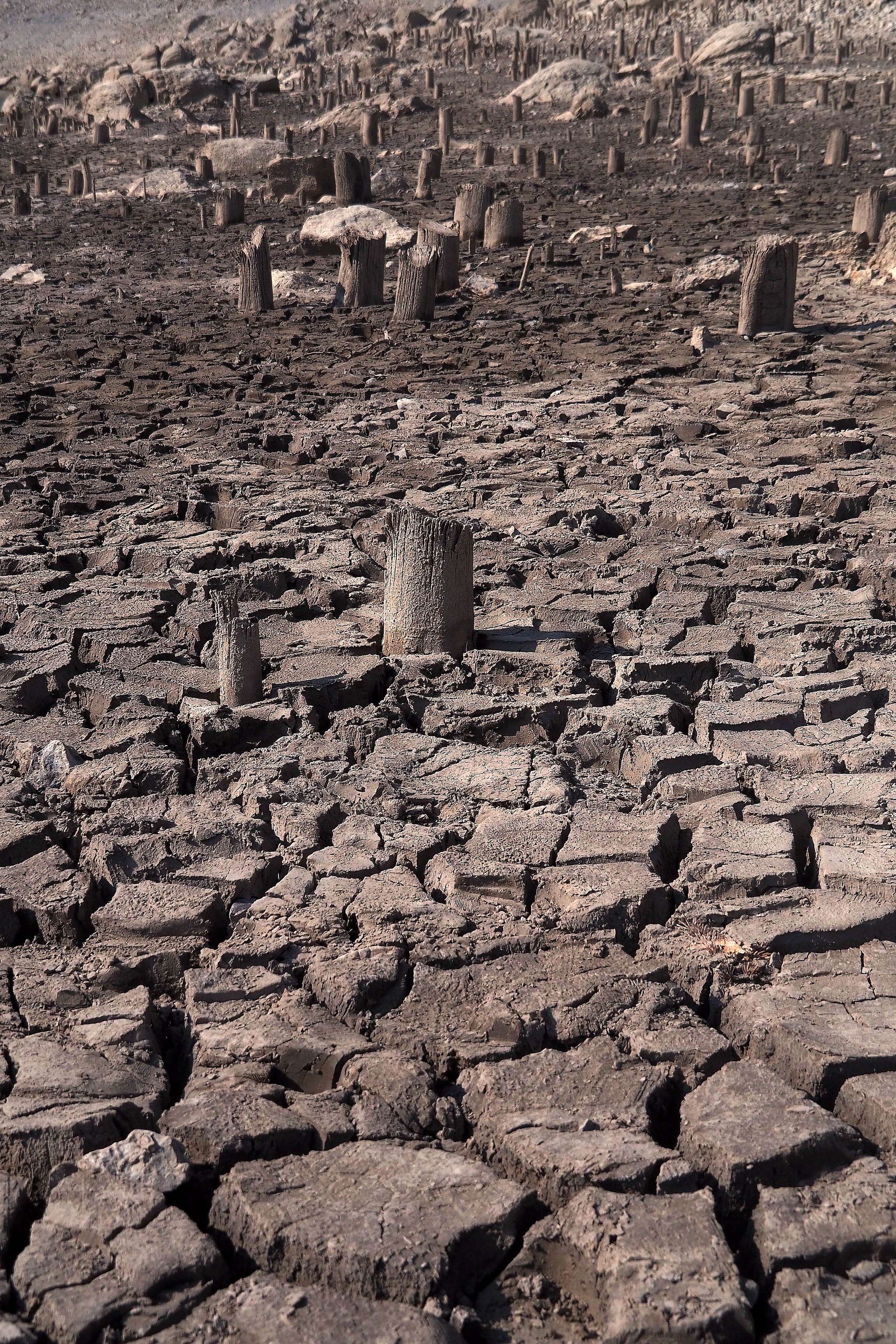
Cracked ground on the Spray Lakes trail in Kananaskis Valley.Tree stumps on the dry bed of Spray Lakes, Kananaskis.
Cracked ground and wood remnants on the shore of the Spray Lakes Reservoir in Kananaskis Valley.Cracked earth on the shore of the Spray Lakes Reservoir in Kananaskis Valley.
Cracked ground on the shores of the Spray Lakes Reservoir in Kananaskis Valley.

The almost permanent immersion in glacial, oxygen-poor waters inhibits the action of wood-destroying fungi responsible for rot. This anaerobic environment acts as a natural preservative, freezing the structure of these spruce stumps for over seven decades.

Cracked ground and tree stumps at the Spray Lakes Reservoir in Kananaskis Valley.Footprints on the cracked clay ground in the Kananaskis region.Wooden post on the cracked clay ground of the Spray Lakes Reservoir in Kananaskis Valley.
Cracked earth on the banks of the Spray Lakes Reservoir, near Canmore.
Low water levels at the Spray Lakes Reservoir in Kananaskis Valley.Fisherman on the shore of the Spray Lakes Reservoir in Kananaskis Valley.
Eroded wooden post on the Spray Lakes trail in the Kananaskis region.
Cracked ground on the shores of the Spray Lakes Reservoir, near Canmore.Cracked ground at the edge of Spray Lakes near Canmore.Cracked earth on the shores of the Spray Lakes Reservoir, near Canmore.
Piling on the cracked ground of the dried-up Spray Lakes, near Canmore.Polygonal fractures in the dried mud of the Kananaskis region, near Canmore.Dried mud cracks at the Canmore Quarry Pines site.

The edges curl upwards towards the sky, as the upper crust dries and shrinks in volume faster than the still-damp base.  

Cracked ground and tree stumps at the edge of the Spray Lakes Reservoir, near Canmore.Cracked earth near Canmore.
Cracked ground and stump remnants on the shores of Spray Lake, in the Kananaskis region near Canmore.

The northern end of Whitemans reservoir.

Spray Lakes Dam near Canmore, facing the mountains.
Cracked ground and tree stumps on the shores of the Spray Lakes Reservoir, near Canmore.Tree stumps on the dried-up ground of the Spray Lakes Reservoir, Canmore.
View of the valley from the cliffs of Grassy Lakes, Kananaskis recreation area.View of the Bow Valley from the Grassi Lakes trail, in Kananaskis.

The East End of Rundle mountain.

Truck on the road at the foot of Mount Ha Ling in Kananaskis Valley.

Here we are on the edge of the water reservoir.

View of the Bow Valley from the Grassi Lakes trail in Kananaskis.
Grassi Lakes in the Rocky Mountains.
Turquoise waters of Grassi Lakes in Kananaskis Provincial Park.
Fishermen on the shores of Barrier Lake Reservoir, in Kananaskis Valley near Canmore.Low water level at Grassi Lake in the Kananaskis region.
Low water at the Spray Lakes Reservoir, near Canmore, during a drought.
Fisherman on the dried-up banks of Spray Lakes, near Canmore.

Ha Ling Trail

We get back in the car to reach, a few hundred meters away, the official parking lot of the Ha Ling Trail. And off we go for more than 5 hours of hiking!  

Ha Ling trail sign in Kananaskis Valley.Hiker on the Mount Ha Ling trail in Kananaskis Valley.

This commemorative plaque marks the start of the trail. It pays tribute to the members of the mining community who worked in the underground galleries of this mountain. The installation is the work of the Trailminders of the Bow Valley, a group of volunteers ensuring the preservation of local hiking routes.
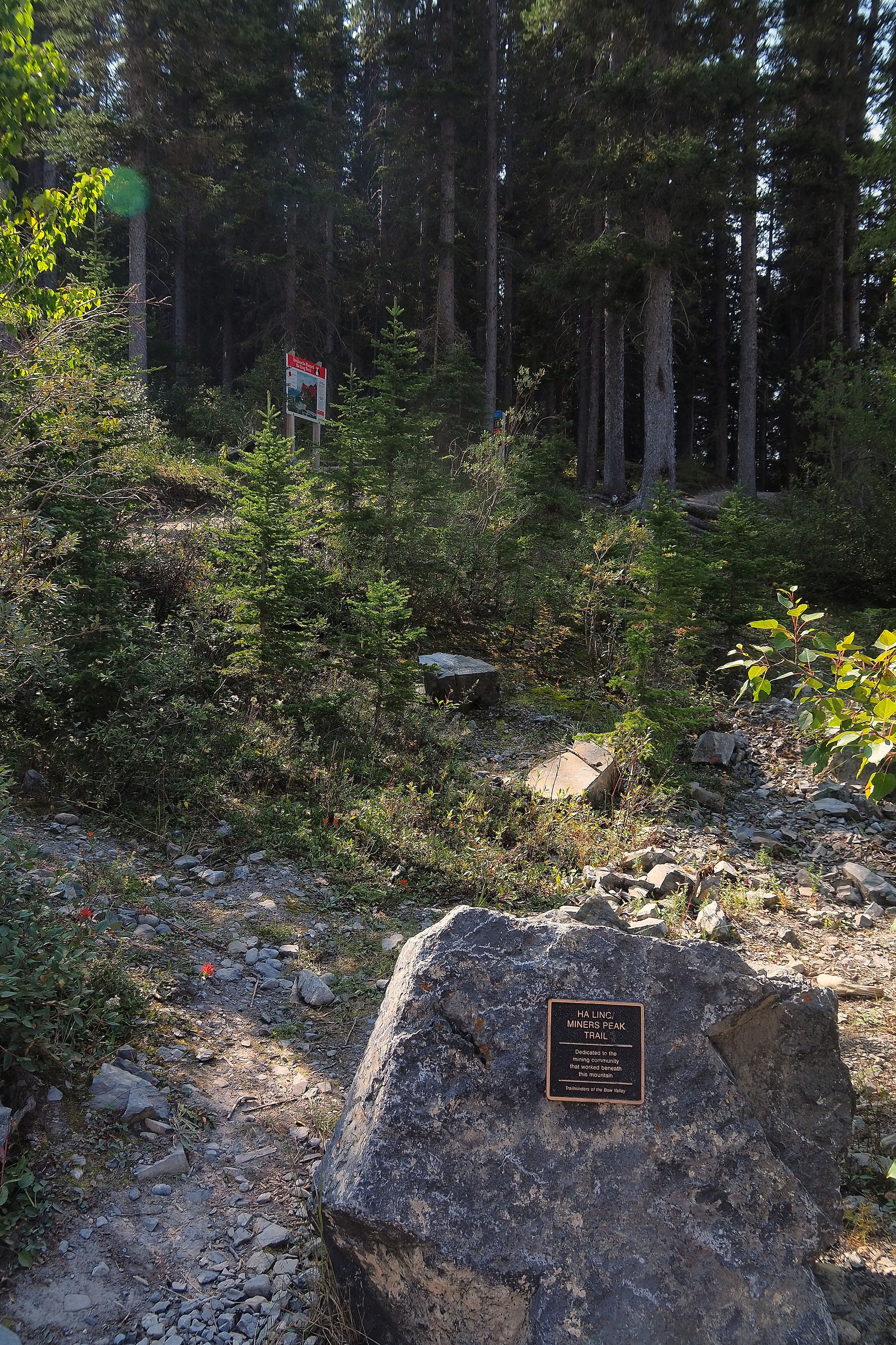
Commemorative plaque dedicated to the mining community on the Ha Ling and Miners Peak trail in the Bow Valley.Commemorative plaque dedicated to the mining community on the Ha Ling and Miners Peak trail, in the Bow Valley.

The signage details possible avalanche paths on the slopes we are about to climb (the route in orange).

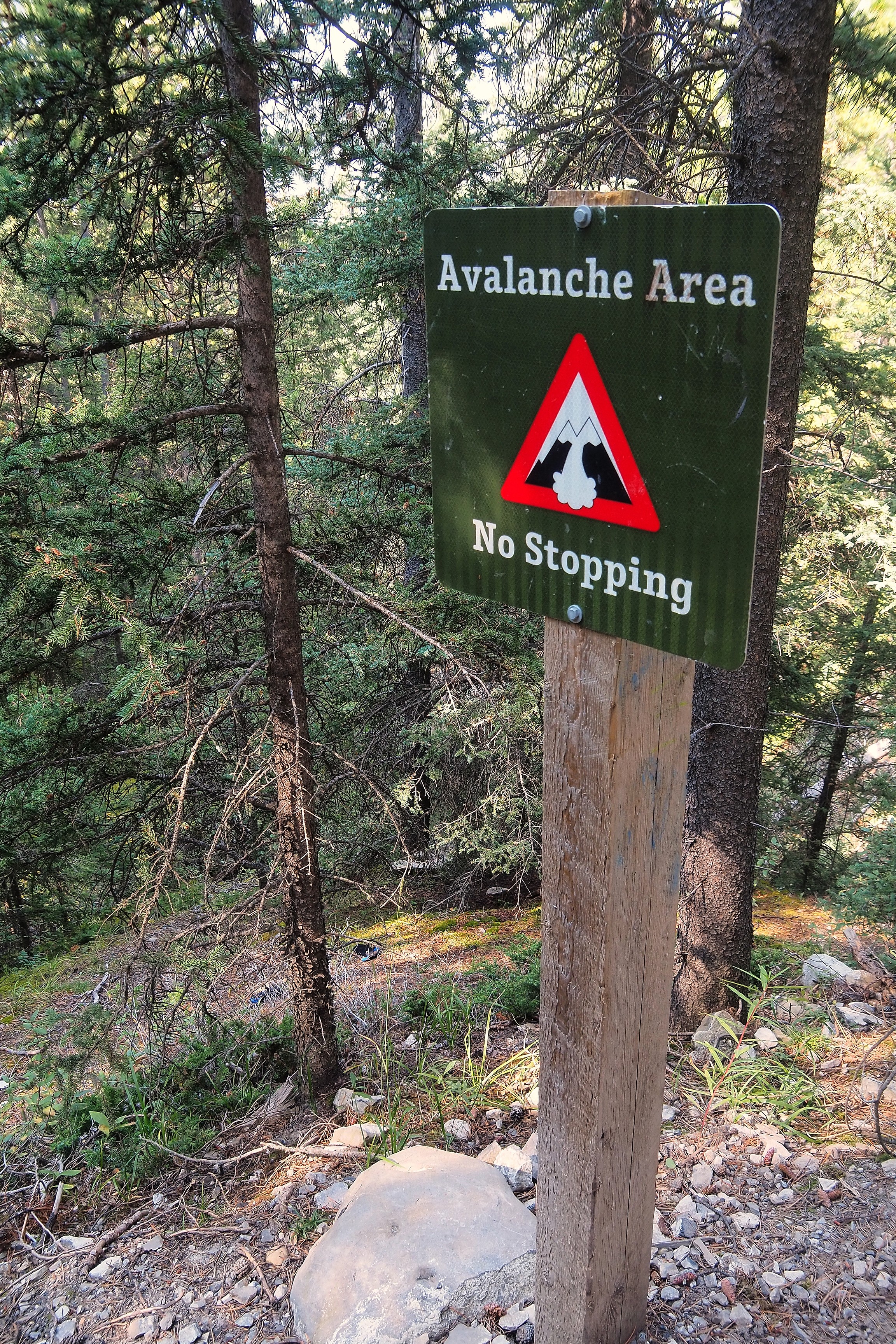
Information sign about avalanche risks along the Ha Ling trail, in the Kananaskis region.“Avalanche Area” sign on the Ha Ling hiking trail, in the Kananaskis region.

The Ha Ling trail winds through a forest of Lodgepole Pines (Pinus contorta).

Hiker on the Ha Ling trail, in the Kananaskis region.Ha Ling Trail hiking path in the middle of a pine forest in the Rockies.

The Canada Jay (Perisoreus canadensis), nicknamed "Whiskey Jack", observes hikers from the branches of the lodgepole pines.  
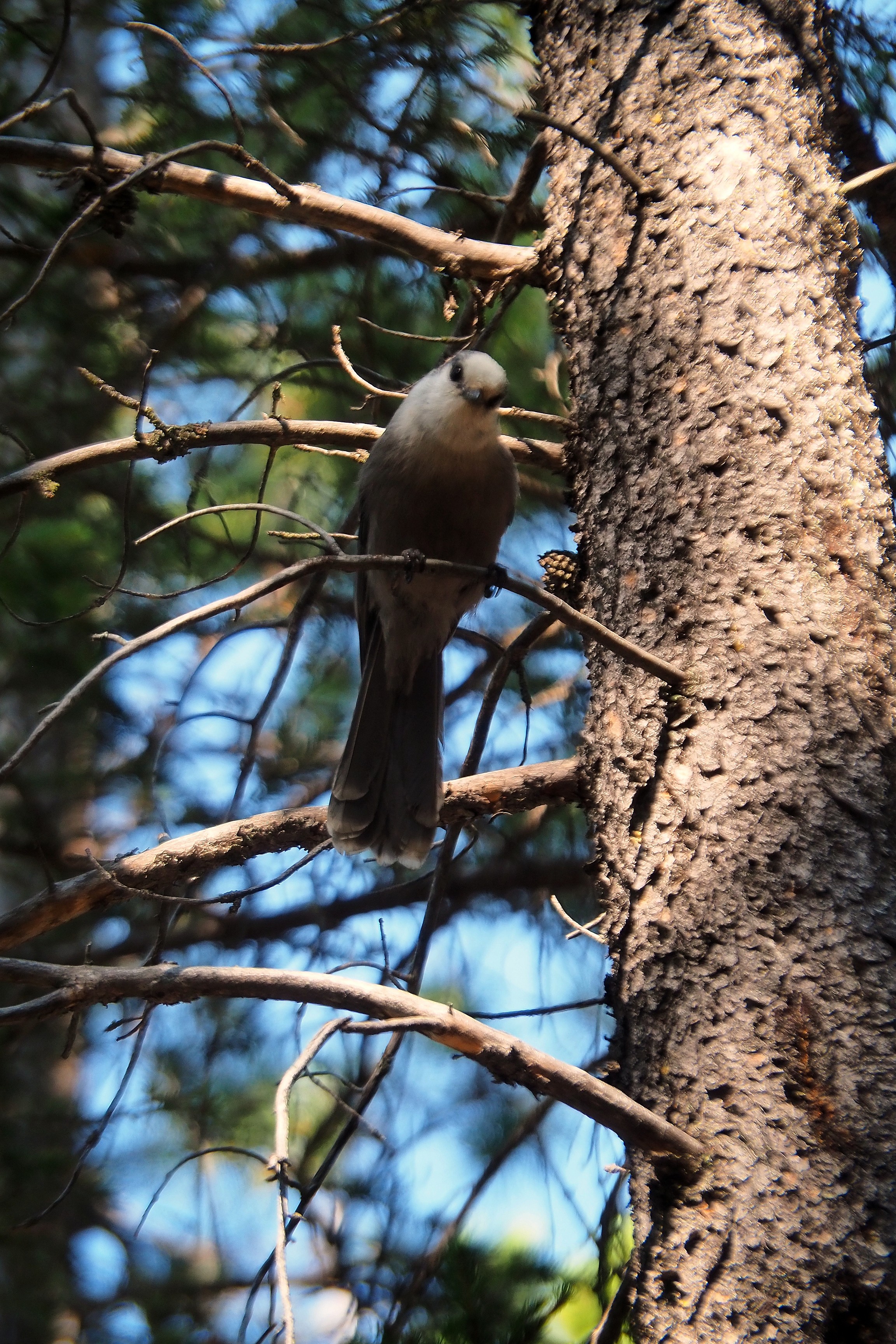
Gray Jay in the Kananaskis Valley.

The East End of Rundle mountain, often abbreviated EEOR.

Ha Ling Peak in the Kananaskis Valley.

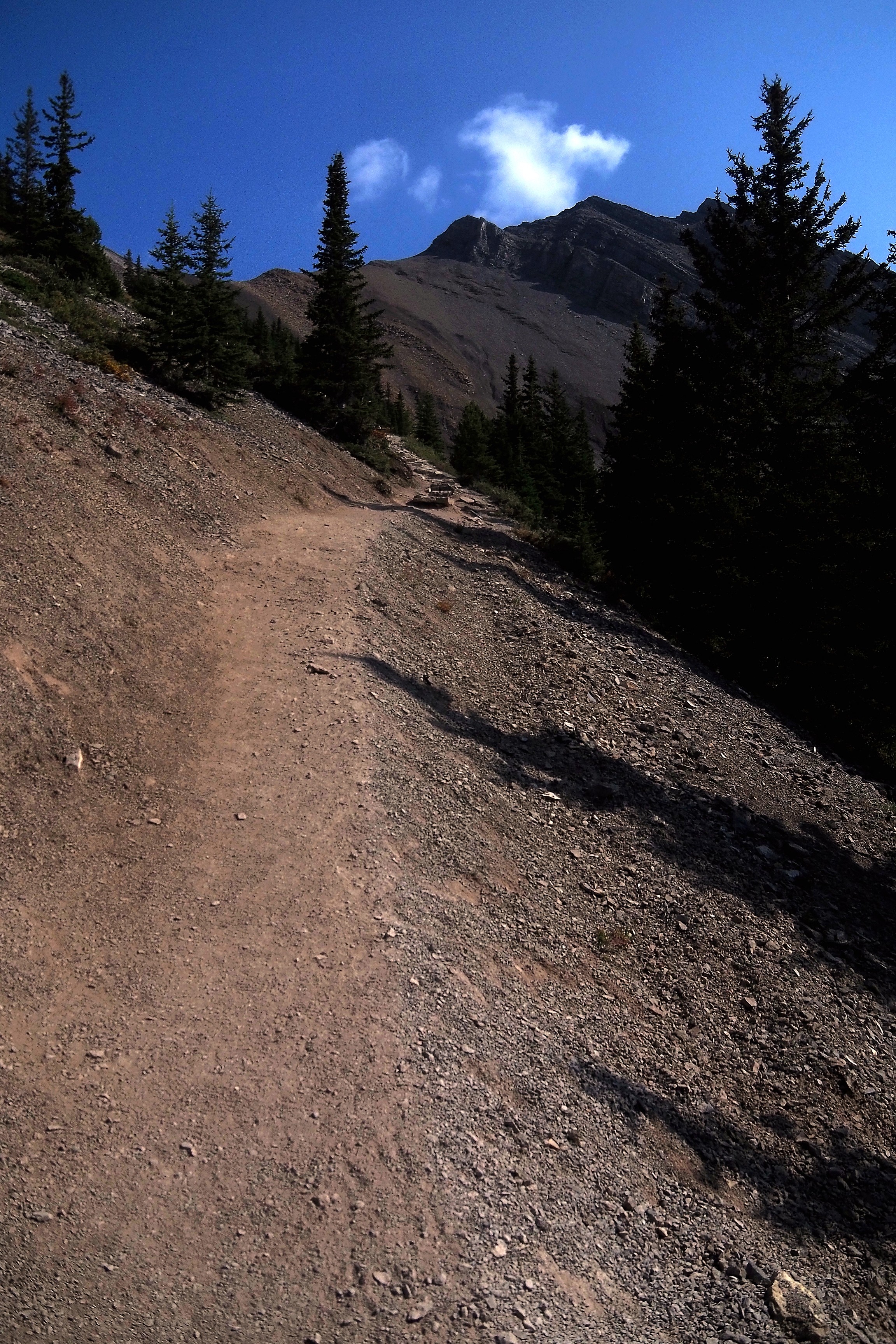
Pines become scarcer in favor of an increasingly mineral soil. Safety chains facilitate progress on steep rocky slabs. This transition marks the gradual entry into the alpine zone of the Rockies.

Rocky path and handrail on the Ha Ling Trail hiking route in the Kananaskis region.Rocky forest path on the Ha Ling Trail route in the Kananaskis Valley.View of the valley and mountains from the Ha Ling trail, in the Kananaskis region.
Rocky slope on the Ha Ling Trail hiking path in the Kananaskis Valley.

The Bow Valley.

View of the valley and mountains from the Ha Ling trail, in the Kananaskis region.

Bark of Lodgepole Pine (Pinus contorta).

Pinus contorta bark along the Ha Ling trail, Kananaskis.Pinus contorta bark on the Ha Ling trail, in the Kananaskis region.
Rocky forest path on the Ha Ling Trail route in Kananaskis.Pine forest on the Ha Ling hiking trail in the Kananaskis Valley.Hikers on the wooded Ha Ling trail, in the Kananaskis Valley.
Forest hiking trail on the slope of Mount Ha Ling, in the Kananaskis Valley.
Coniferous forest at the foot of Mount Ha Ling in the Kananaskis Valley.Conifers along the Ha Ling trail, in the Kananaskis Valley.View of the valley and mountains from the Ha Ling trail in the Kananaskis region.

The East End of Rundle with the Smith Dorrien trail passing at its base and joining the town of Canmore.

Hikers on the Mount Ha Ling trail in the Rocky Mountains.Ha-Ling Peak overlooking the Smith-Dorrien Trail in the Kananaskis region.

The Bow Valley. It will be perfect for our lunch break viewpoint!  

View of the Bow Valley from Mount Ha Ling in the Kananaskis region.

In the Rockies, the golden-mantled ground squirrel is never far...  

Golden-mantled ground squirrel on the rocky walls of Mount Ha Ling.

Some wooden stairs to facilitate steep passages.

Wooden staircase on the Ha Ling Peak hiking trail, in Kananaskis Provincial Park.Wooden staircase of the Ha Ling hiking trail in the Kananaskis Valley.
Hiking trail leading to the summit of Ha Ling Peak in the Kananaskis Valley.Hikers on the Mount Ha Ling trail in the Kananaskis Valley.
Wooden staircase on the Ha Ling hiking trail, in the Kananaskis region.
View of the Rocky Mountains from the Ha Ling trail, in the Kananaskis Valley.
Conifers on the Ha Ling hiking trail, in the Rocky Mountains.Staircase of the Ha Ling Peak hiking trail in the Kananaskis Valley, under a hazy sky.

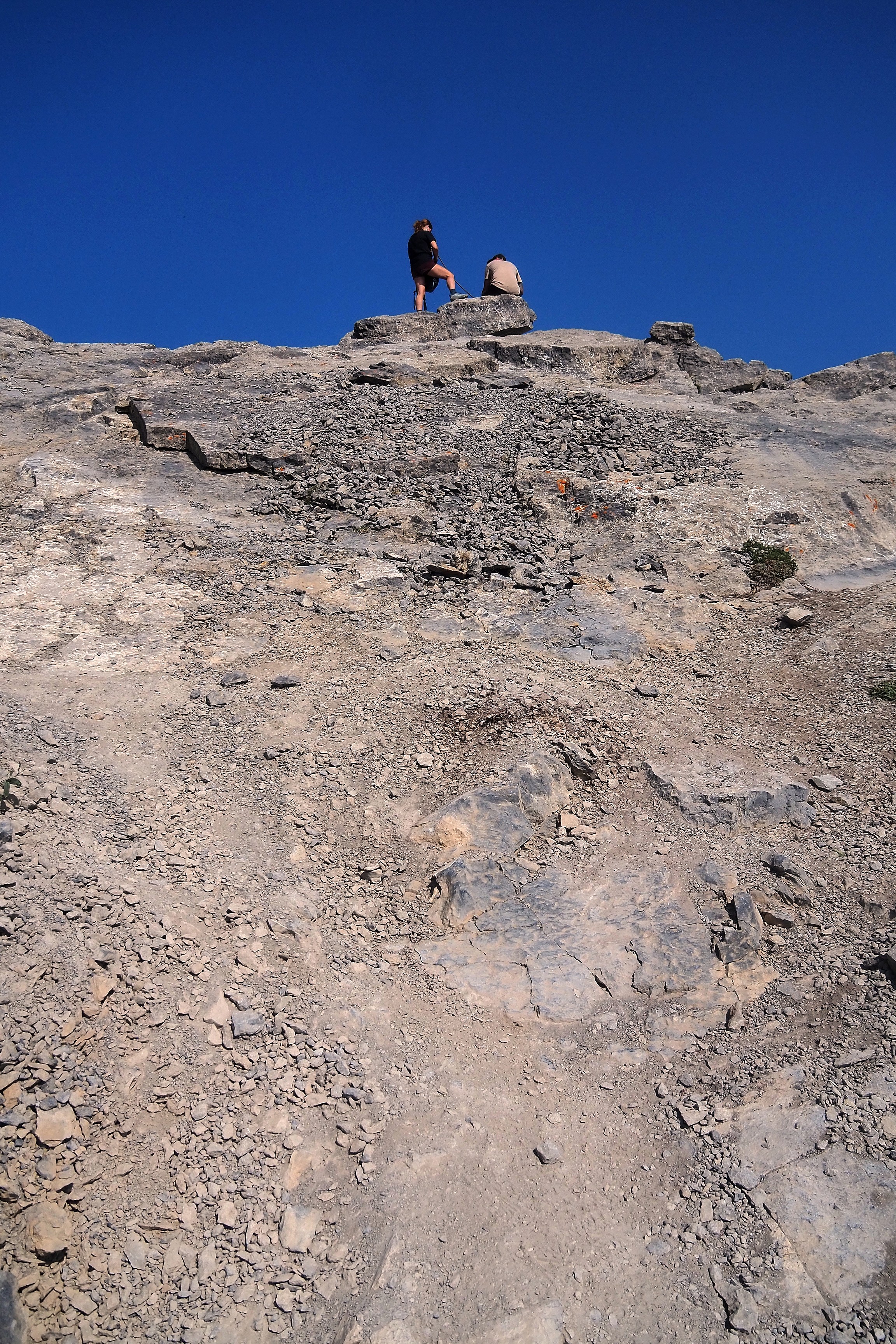
That's it, no more pine forests. Time for rocks and the associated risk of slipping...

Hikers on the steep Ha Ling Peak trail in the Kananaskis Valley.View of Mount Lawrence Grassi from the Ha Ling trail in the Rockies.

Innovation this year, I brought a walking stick! And it won't be too much... We're reaching the summit of Ha Ling!

Sign prohibiting leaving the trail on the Ha Ling Peak hiking route, in the Kananaskis Valley.Sign on the Mount Ha Ling hiking trail in the Kananaskis region.
Hikers on the steep Mount Ha Ling trail in the Kananaskis Valley.
Ha Ling hiking trail in Kananaskis.
Hikers on the rocks at the summit of Ha Ling Peak, in the Kananaskis Valley.Ascent trail to the summit of Ha Ling Peak, in the Kananaskis Valley.Hikers at the summit of Mount Ha Ling, in the Kananaskis Valley.
Hikers with dogs on the Mount Ha Ling trails in the Kananaskis Valley.

Here we are. On the other side, the Bow Valley unfolds.

Mountain ridge of Ha Ling Peak in the Kananaskis Valley.
Hikers on the steep Ha Ling Peak trail in the Kananaskis Valley.Hikers on the summit of Ha Ling Peak in the Rockies.

Canmore at the foot of Grotto Mountain.

Mount Rundle overlooking the town of Canmore at dusk.

In the extension, Mount Lawrence Grassi.

Rocky ridge leading to Ha Ling Peak in the Kananaskis Valley.

We continue towards the summit of Ha Ling, leaving the pebbles where they are  

No rock throwing sign on the Mount Ha Ling trail, in the Kananaskis Valley.
Hikers on the summit of Ha Ling Peak with a view of the Canmore valley and Kananaskis.
View of Bow Valley and the town of Canmore from Ha Ling Peak in Kananaskis Provincial Park.
Aerial view of the Rundle Forebay reservoir, the town of Canmore, and the Kananaskis mountains.

Peaks are everywhere.

Ha Ling Peak in the Kananaskis range.Ha Ling Peak in the Rocky Mountains, Kananaskis region.Ha Ling Peak in the Rocky Mountains, Kananaskis region.Ha Ling Peak in the Rocky Mountains, Kananaskis region.

In the distance, the Canmore Nordic Centre and its biathlon track.  

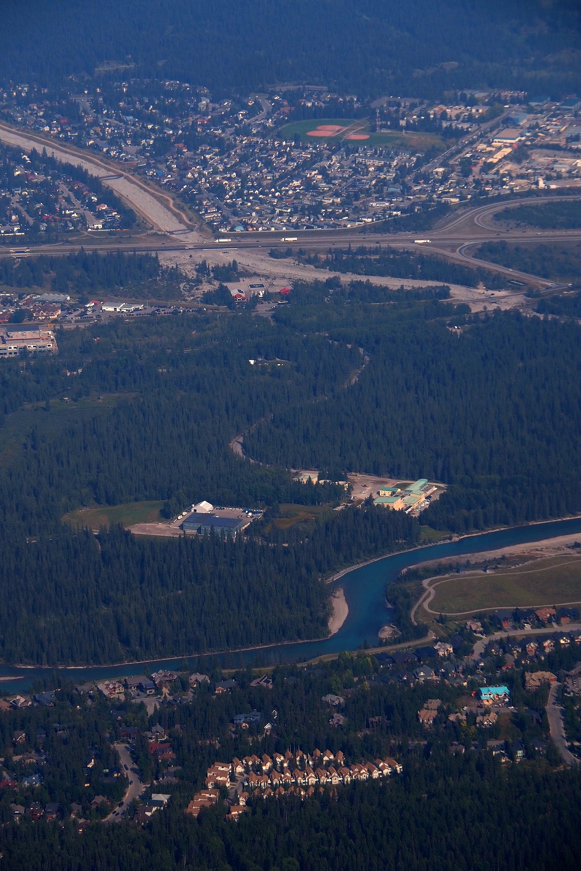
Aerial view of the Canmore Nordic Centre Provincial Park.View of the Bow River valley and the town of Canmore from the summit of Ha Ling Peak.
Hikers at the summit of Ha Ling Peak in the Kananaskis valley.

Facing Mount Grassi.

Hikers taking a break facing Ha Ling Peak, in the Kananaskis region.
Rocky ridges on the Ha Ling Peak hiking trail, in the Rockies.Hikers on the Ha Ling Peak trail in the Kananaskis valley.Hiker at the summit of Mount Ha Ling in the Kananaskis valley.
Hiker on the ridge of Mount Ha Ling in the Kananaskis valley.
Hiker at the summit of Mount Ha Ling overlooking the town of Canmore and the Bow Valley.
View of the Kananaskis valley and the reservoir from the summit of Ha Ling Peak.
Aerial view of Canmore in the Bow Valley at the foot of the Rocky Mountains.View of the town of Canmore at dusk from the summit of Mount Ha Ling.
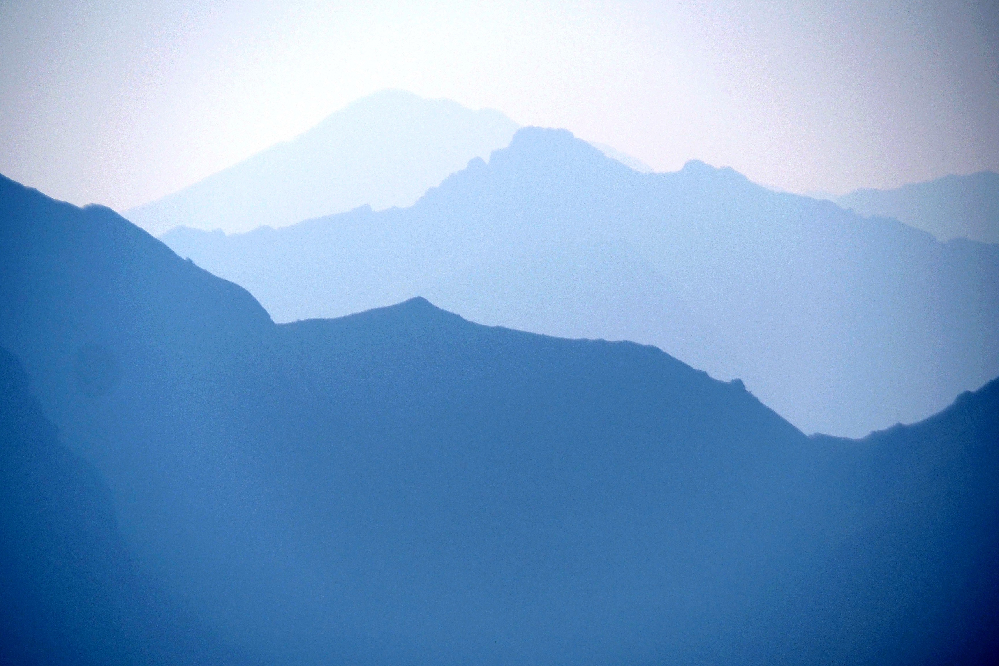
Hikers on the Ha Ling Peak summit trail, in the Rocky Mountains.Mist over the peaks of the Rockies, in the Kananaskis region.

If you pass by here, you can look for my site's QR Code...

Stickers on the signpost at the summit of Mount Ha Ling, in the Rockies.

And so begins the descent.

Hikers on the Mount Ha Ling trail overlooking the Bow Valley in the Rockies.
Hikers on the Mount Ha Ling trail overlooking the Bow Valley in the Rockies.Hikers on the Mount Ha Ling trail in the Kananaskis valley.
Hiker on the wooden stairs of the Ha Ling Peak trail in the Kananaskis valley.Hiker on the Ha Ling Peak trail, in the Kananaskis valley.

Back to the parking lot.

Ha Ling Peak overlooking Whitemans Pond and the dam in the Kananaskis valley.Marmot at the start of the Ha Ling Peak trail, in the Kananaskis region.

On the road, the landscape takes on its most beautiful late-day appearance with the colors of the setting sun.

Sunset over the misty mountains of Kananaskis Provincial Park.

Almost 8 PM, it's high time to start the barbecue! In 30 minutes, night will have fallen.  

Campfire on the Bow River trail in the Kananaskis valley.Campfire on the Bow River trail in the Kananaskis valley.

Sausages and vegetables for this last evening at Bow Valley Campground. Tomorrow, we're moving and heading to Boulton Creek Campground, where we can continue exploring Kananaskis Country, especially its Upper and Lower Lakes.

Cooking sausages and vegetables on the barbecue in the Kananaskis region.Sausage and peppers on the Bow River trail, in the Kananaskis region.


Previous Page
Calgary
Next Page
Kananaskis lakes