


FR EN ES
Previous Page
From Kamloops to Hope
Next Page
Vancouver Island West Coast

Canada 2025

Vancouver Island East Coast


After almost two hours of driving from Hope, we approach the Tsawwassen ferry terminal, gateway to Vancouver Island.

Access via Highway 17 to the Tsawwassen ferry terminal, operated by BC Ferries.Port cranes and containers at the Deltaport terminal in Tsawwassen.

The ferry will take us to Victoria, the main city on Vancouver Island.

Signage to ferry destinations at the Tsawwassen terminal.Vehicles boarding a BC Ferries vessel at the Tsawwassen terminal.Vehicles parked on the deck of a BC Ferries vessel, Delta.
Passenger boarding areas at the Tsawwassen ferry terminal, operated by BC Ferries.
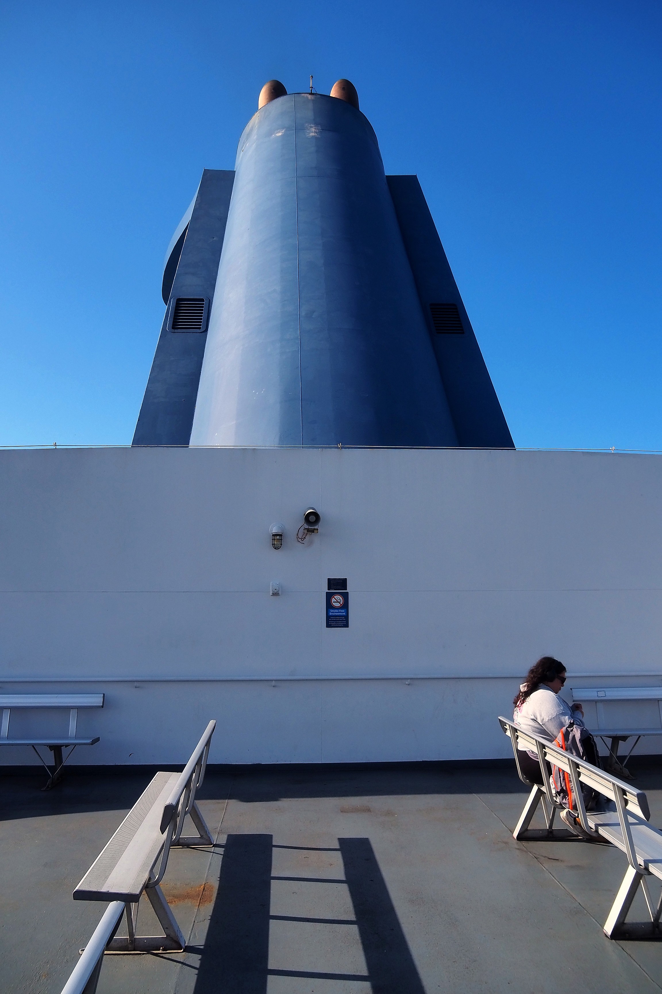
Passengers on the outer deck of a BC Ferries vessel in the Strait of Georgia.Female passenger on the deck of a BC Ferries vessel, Delta.

The crossing goes through the Strait of Georgia.
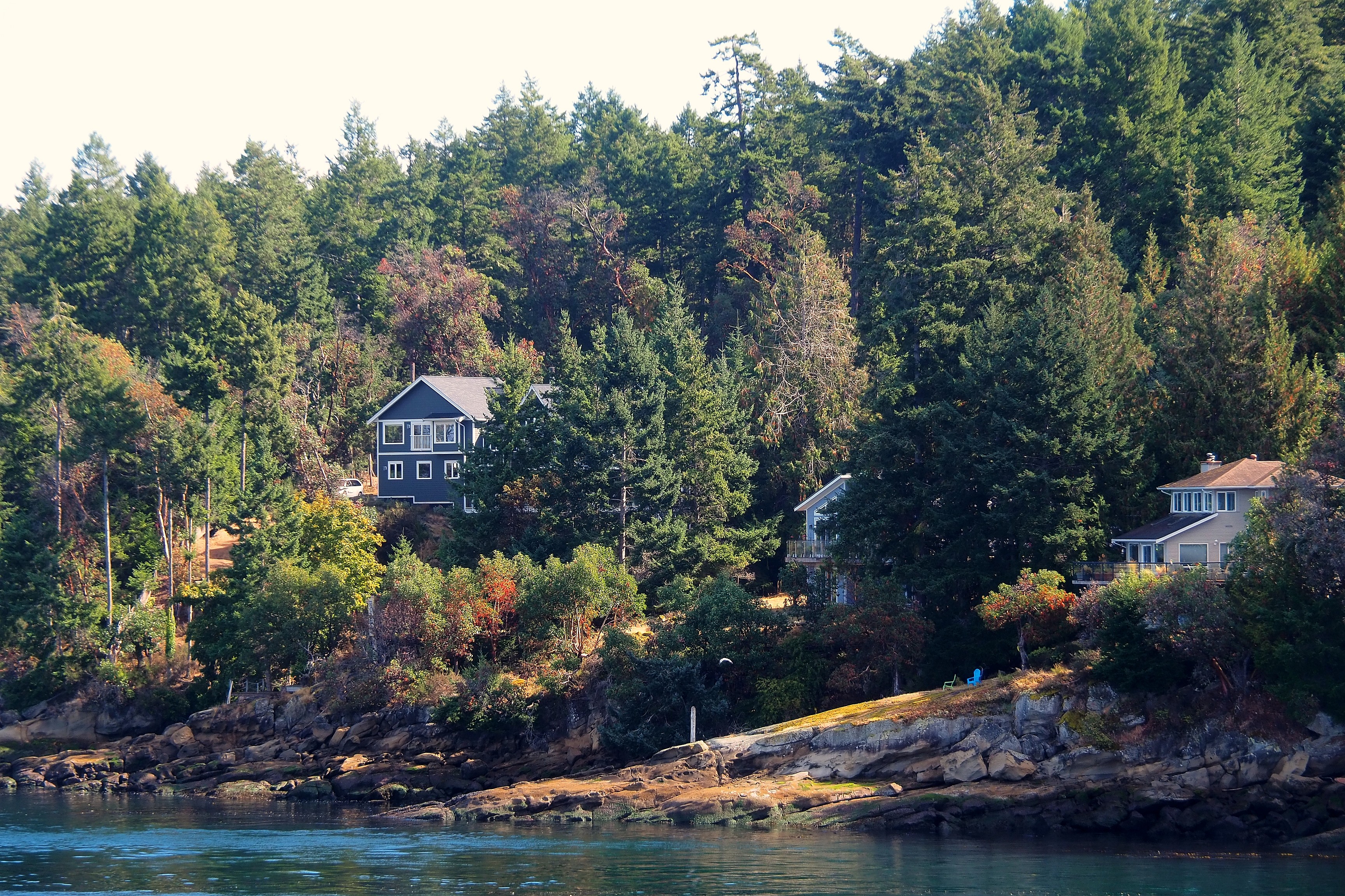
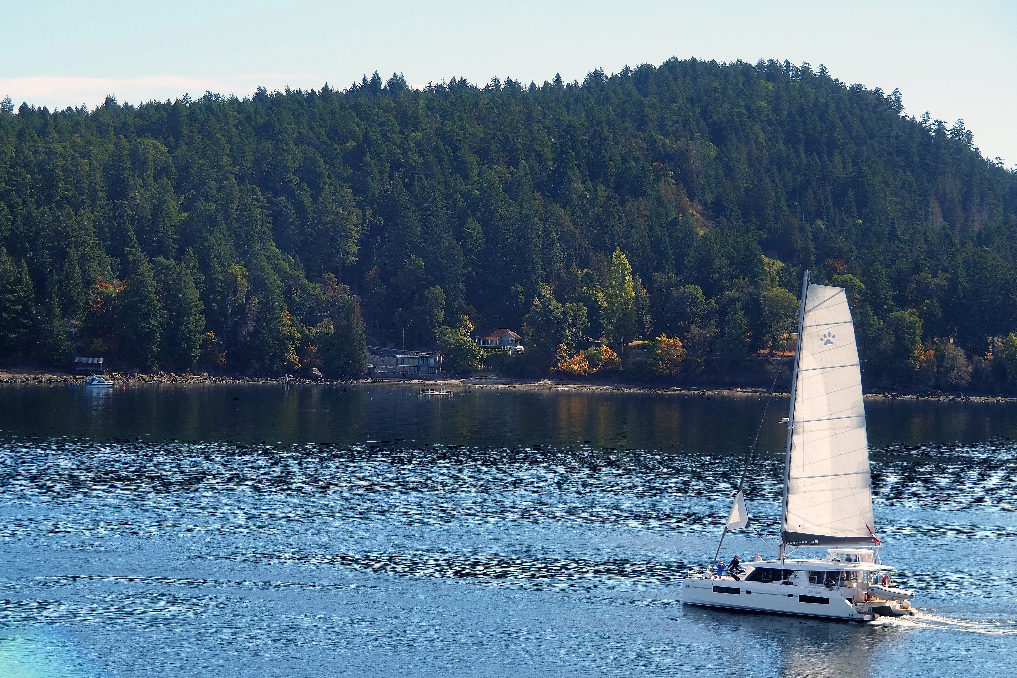
Residential houses on the wooded rocky coast of Mayne Island.Leopard 45 catamaran sailing off a wooded coast in the Gulf Islands.
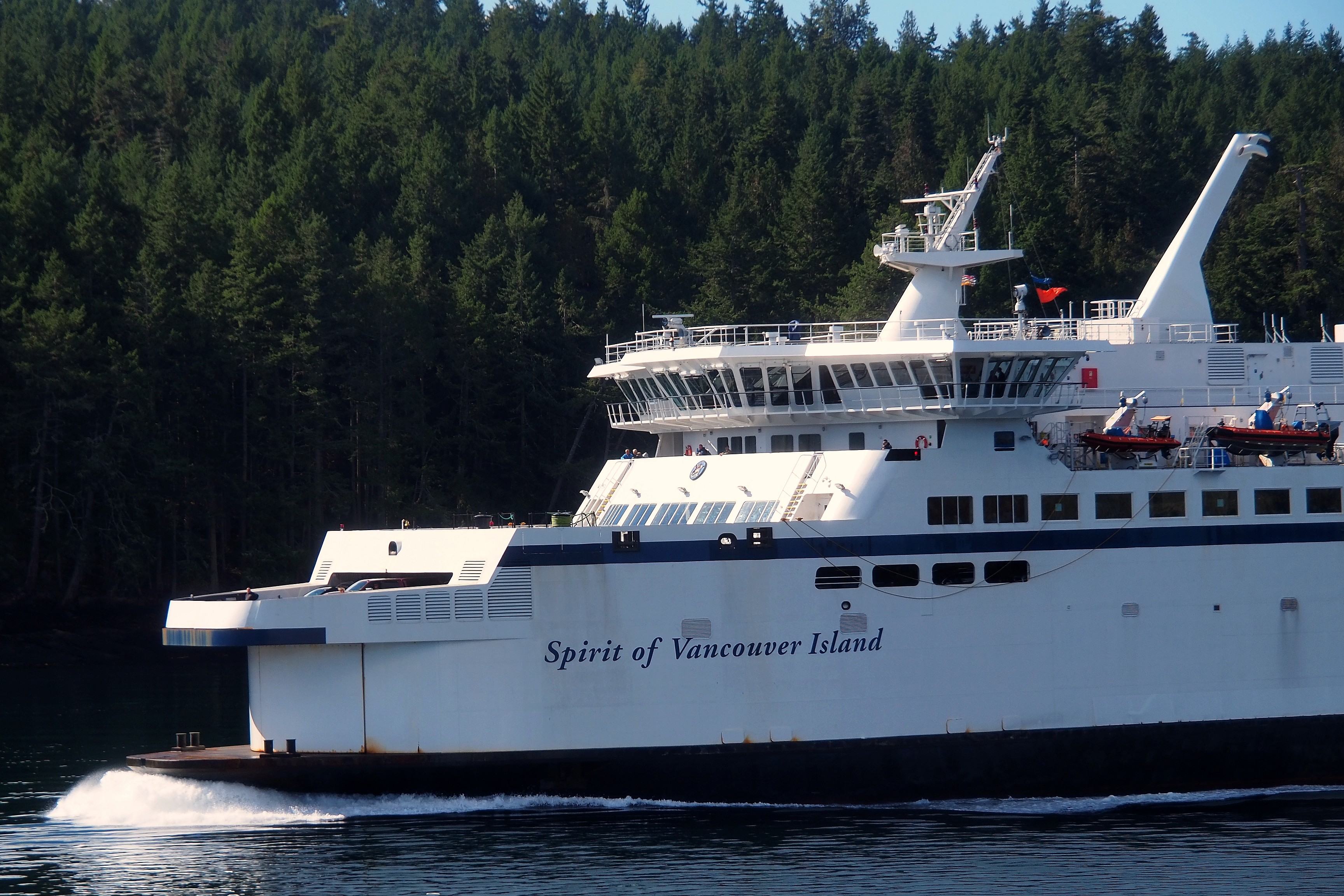
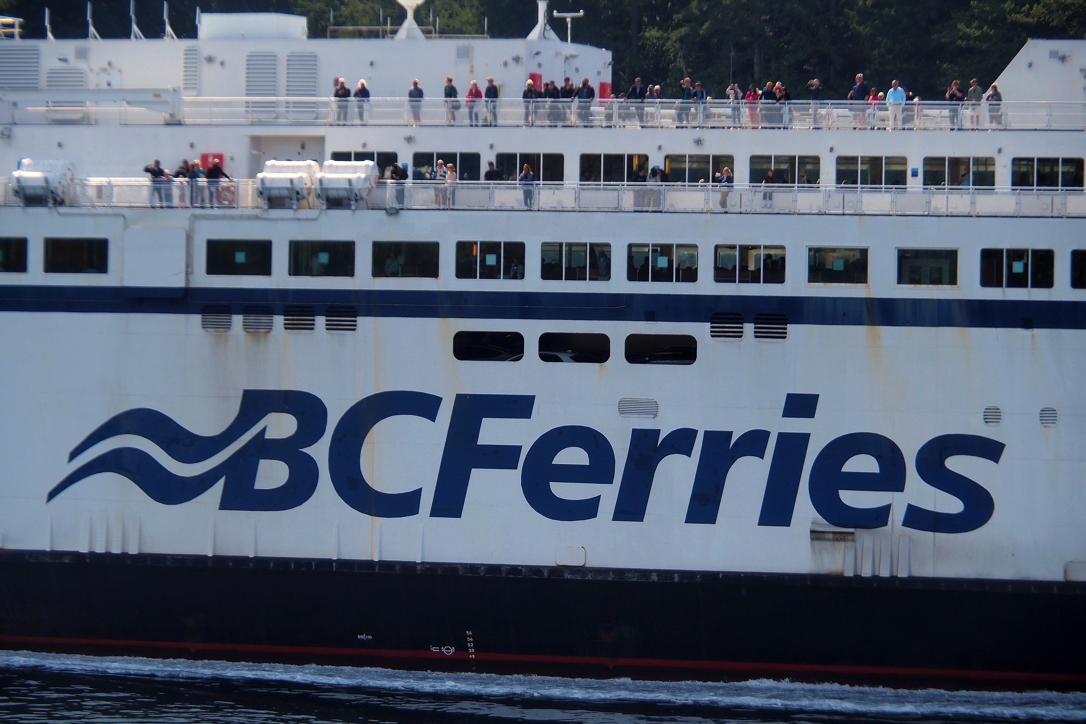
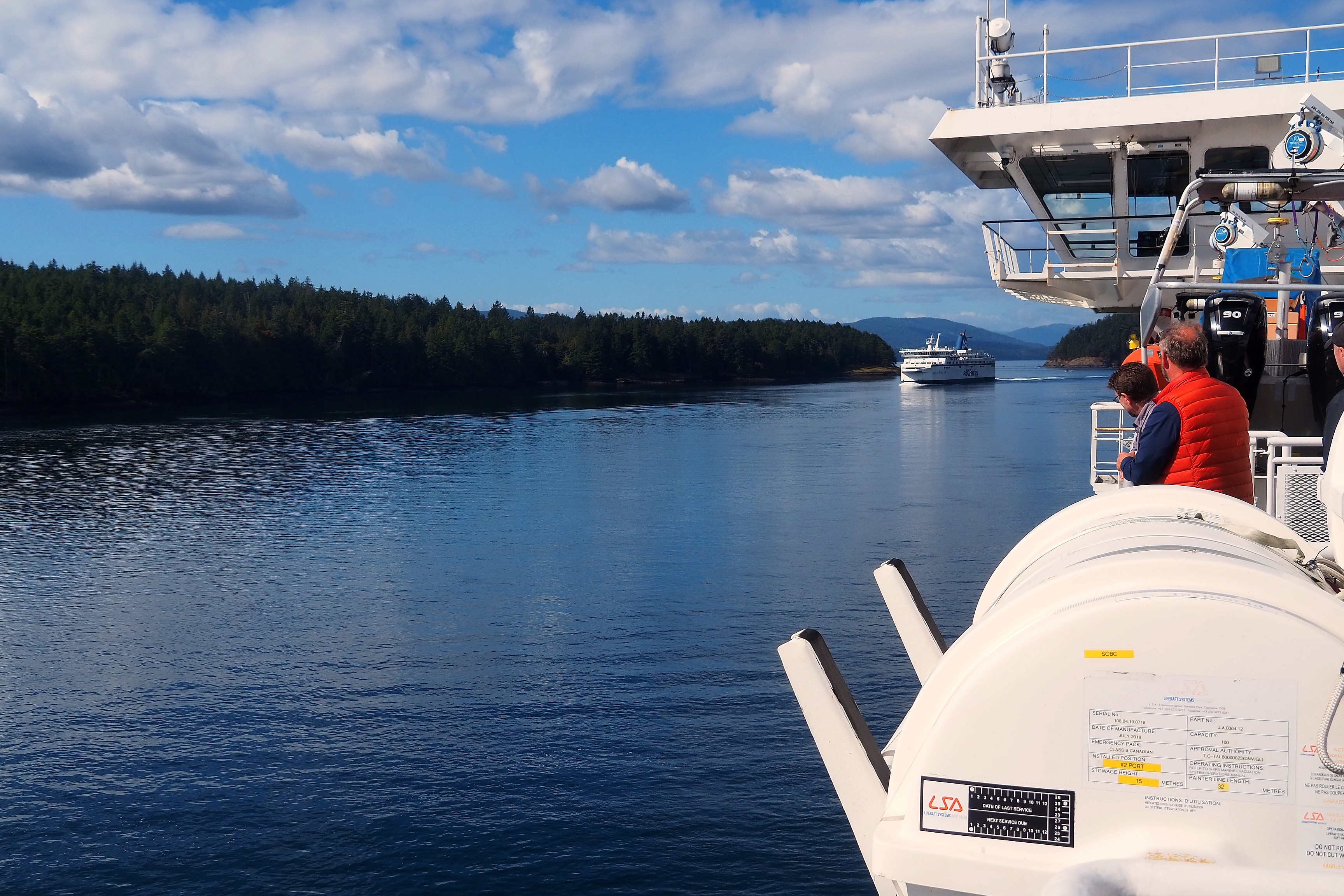
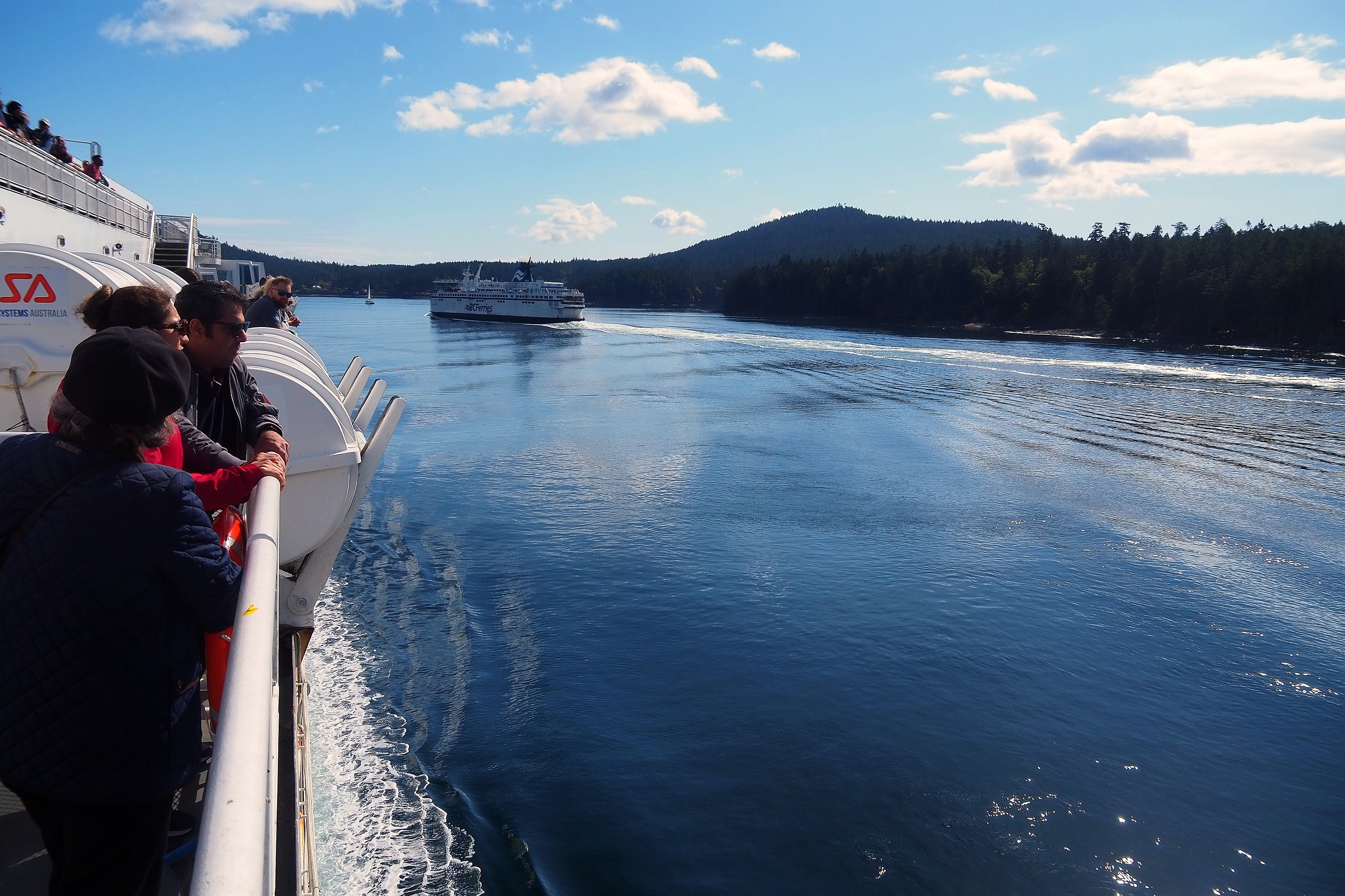
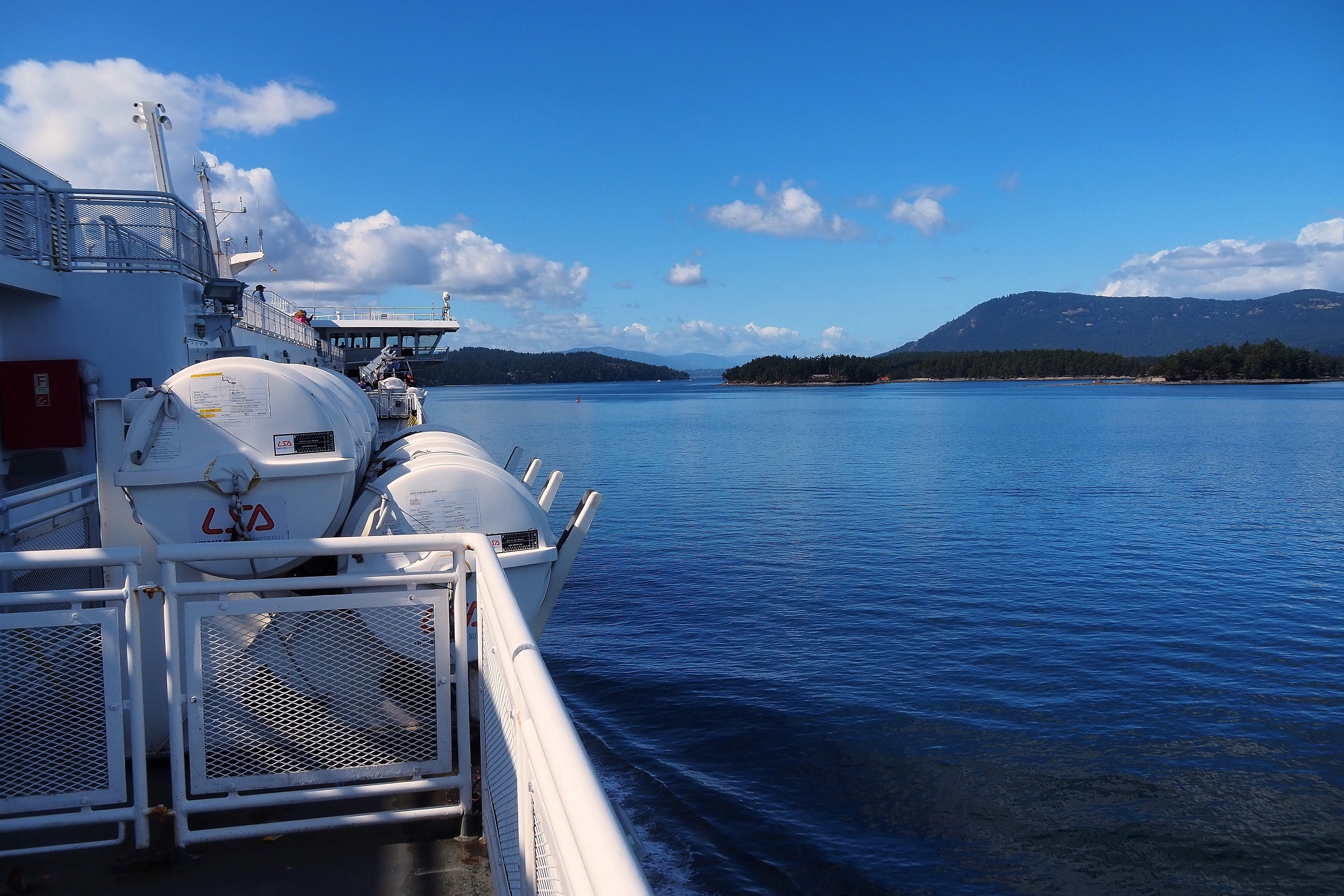
Spirit of Vancouver Island ferry in the Gulf Islands.Passengers on the deck of a BC Ferries vessel in the Southern Gulf Islands.Crossing the Southern Gulf Islands aboard a BC Ferries vessel.
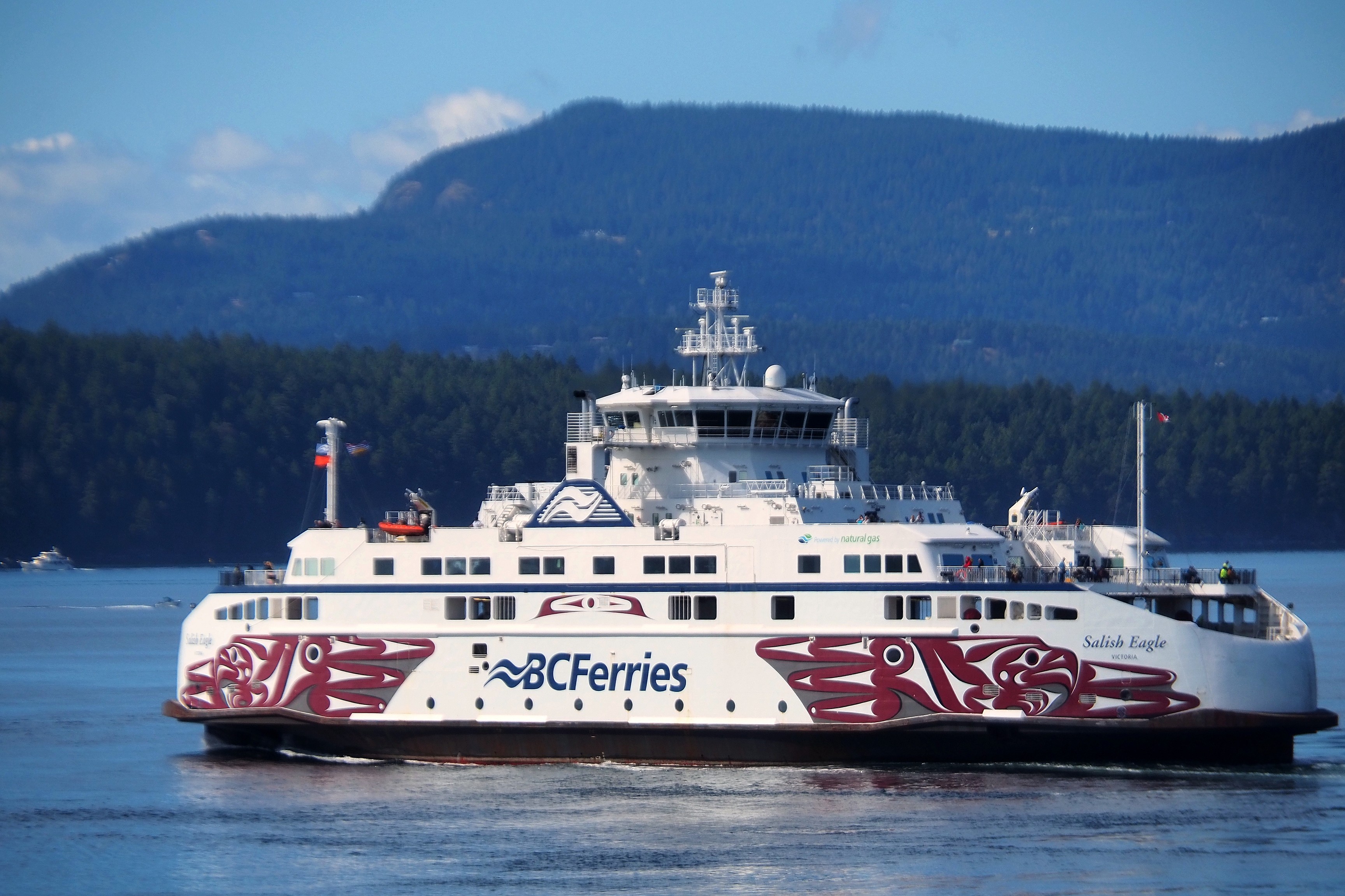
Wake of a BC Ferries vessel in the Southern Gulf Islands.The BC Ferries vessel Salish Eagle, adorned with artwork by Indigenous artist John Marston, crossing the Gulf Islands.The Spirit of British Columbia ferry sailing in the Southern Gulf Islands.

And here we are on the other side of the continent.
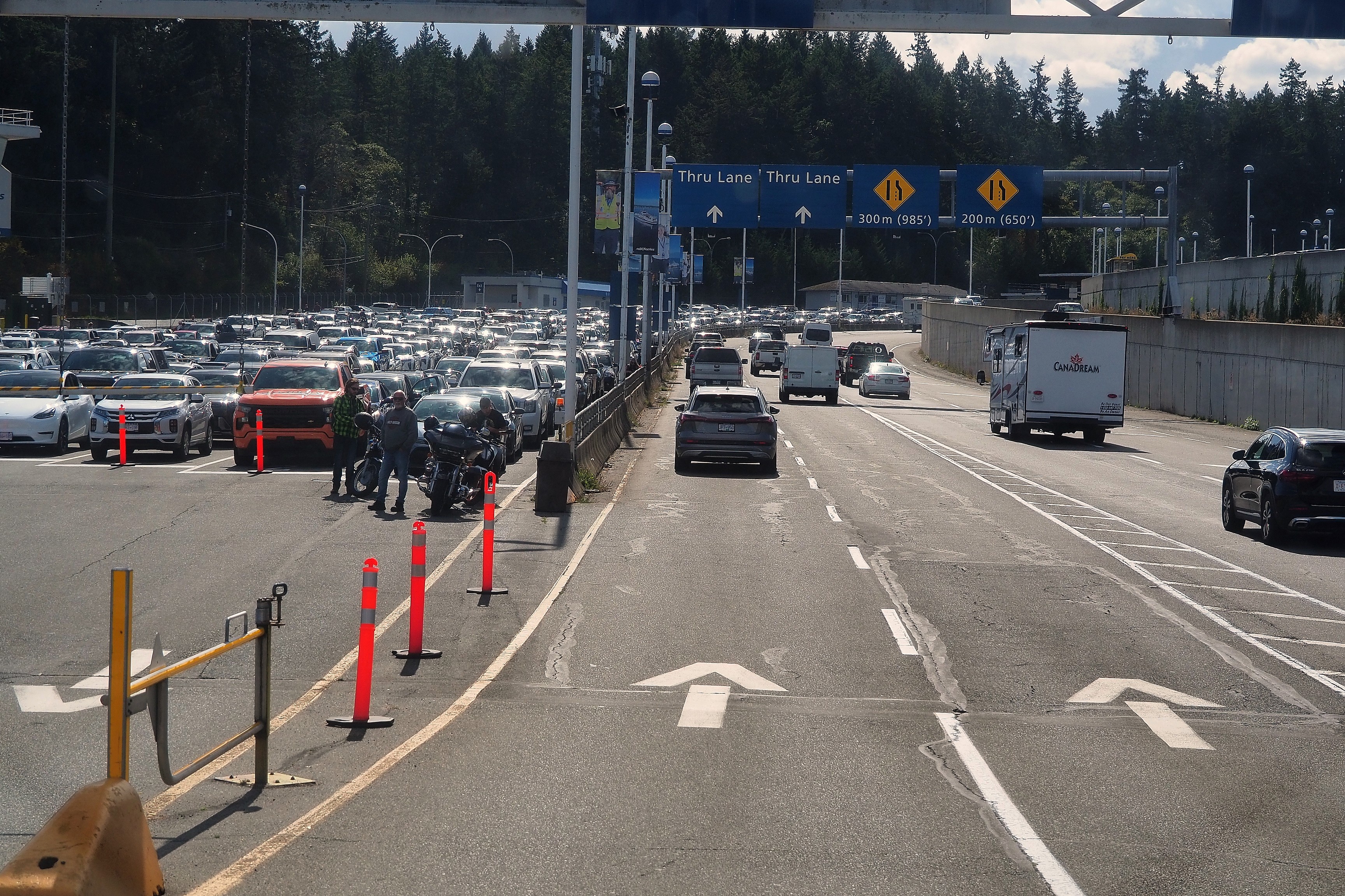
Boarding lanes at the Swartz Bay ferry terminal, British Columbia.

Smonecten camping

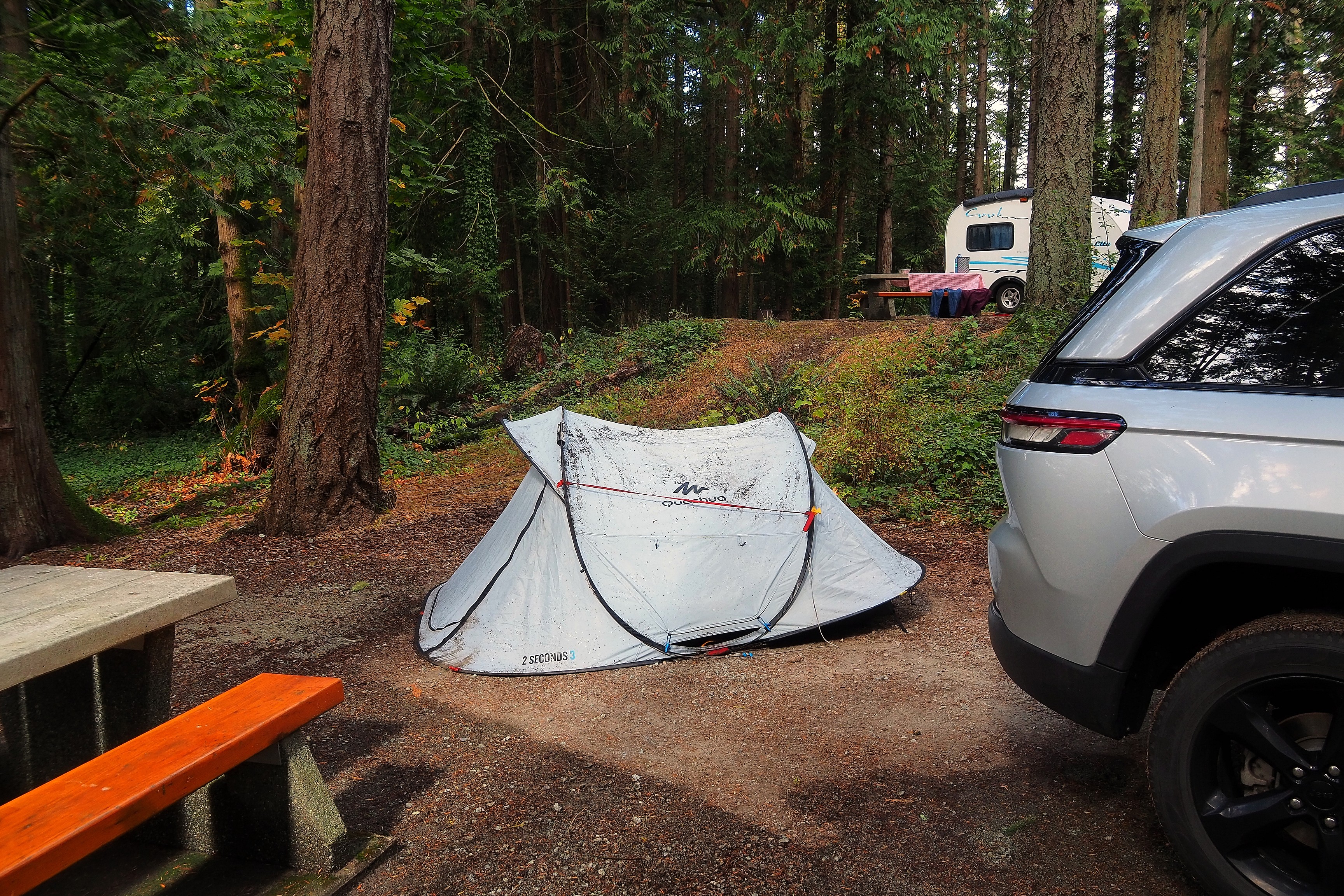
We will spend two nights at the Smonecten campground. My new tent took a beating the last night when it rained quite a bit...  

Quechua tent and SUV at a forest campsite.Quechua 2 Seconds tent set up in a campground.

Here, no bathrooms. Only dry toilets and water taps are available.

Road and campsite within the McDonald Park forest.

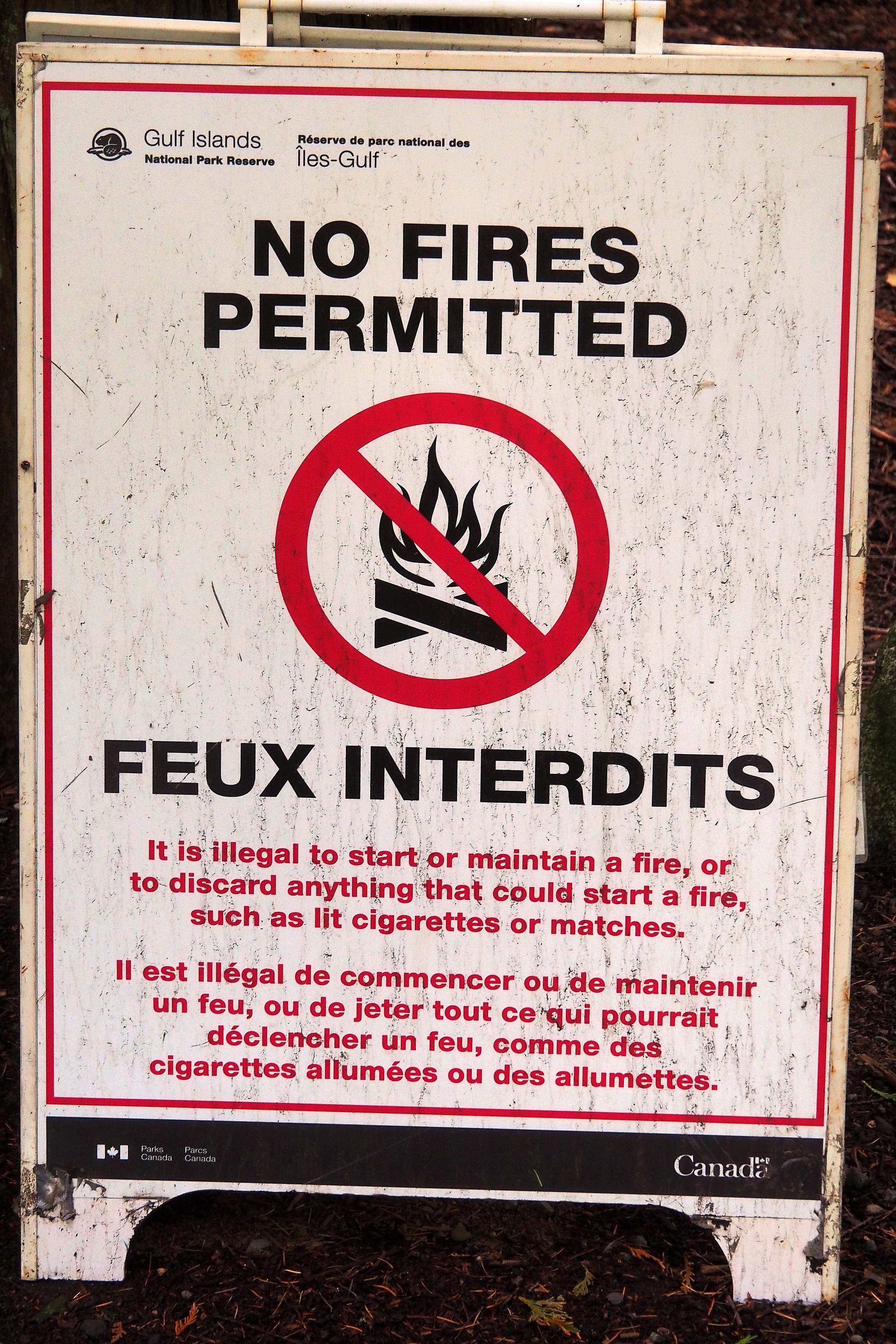
For a few days now, fires have been prohibited in campgrounds.

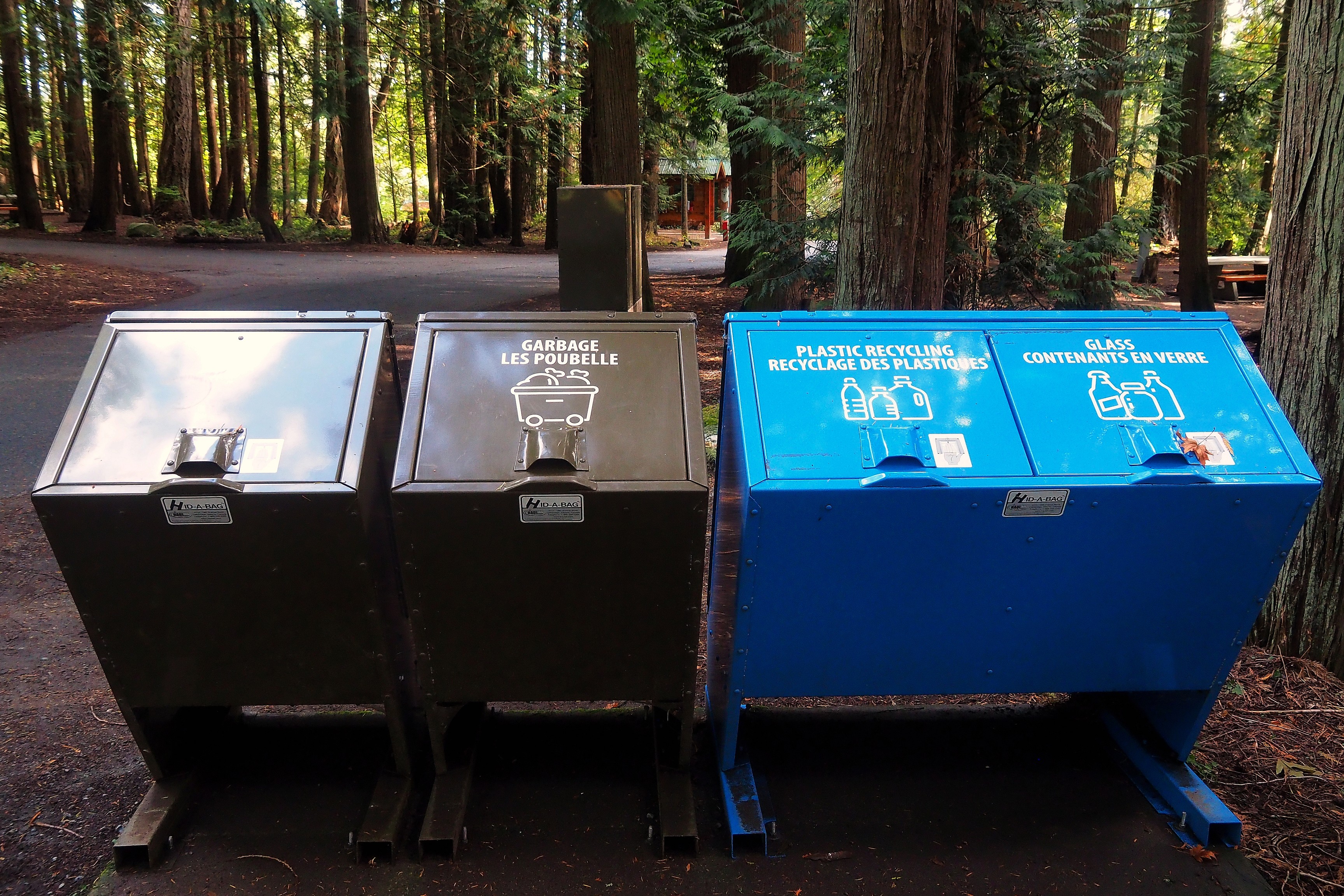
No-fire sign and waste collection points in the Gulf Islands National Park Reserve.Bilingual recycling bins at a North Saanich campground.No-fire sign in the Gulf Islands National Park Reserve.

The dry toilets.

Dry toilet cabin in a forest campground.SCJ Professional hand sanitizer dispenser mounted on a door in North Saanich.Dry toilet in a forest cabin in North Saanich.

We had booked everything from France. My name is indeed registered for the next two nights! Site 15!
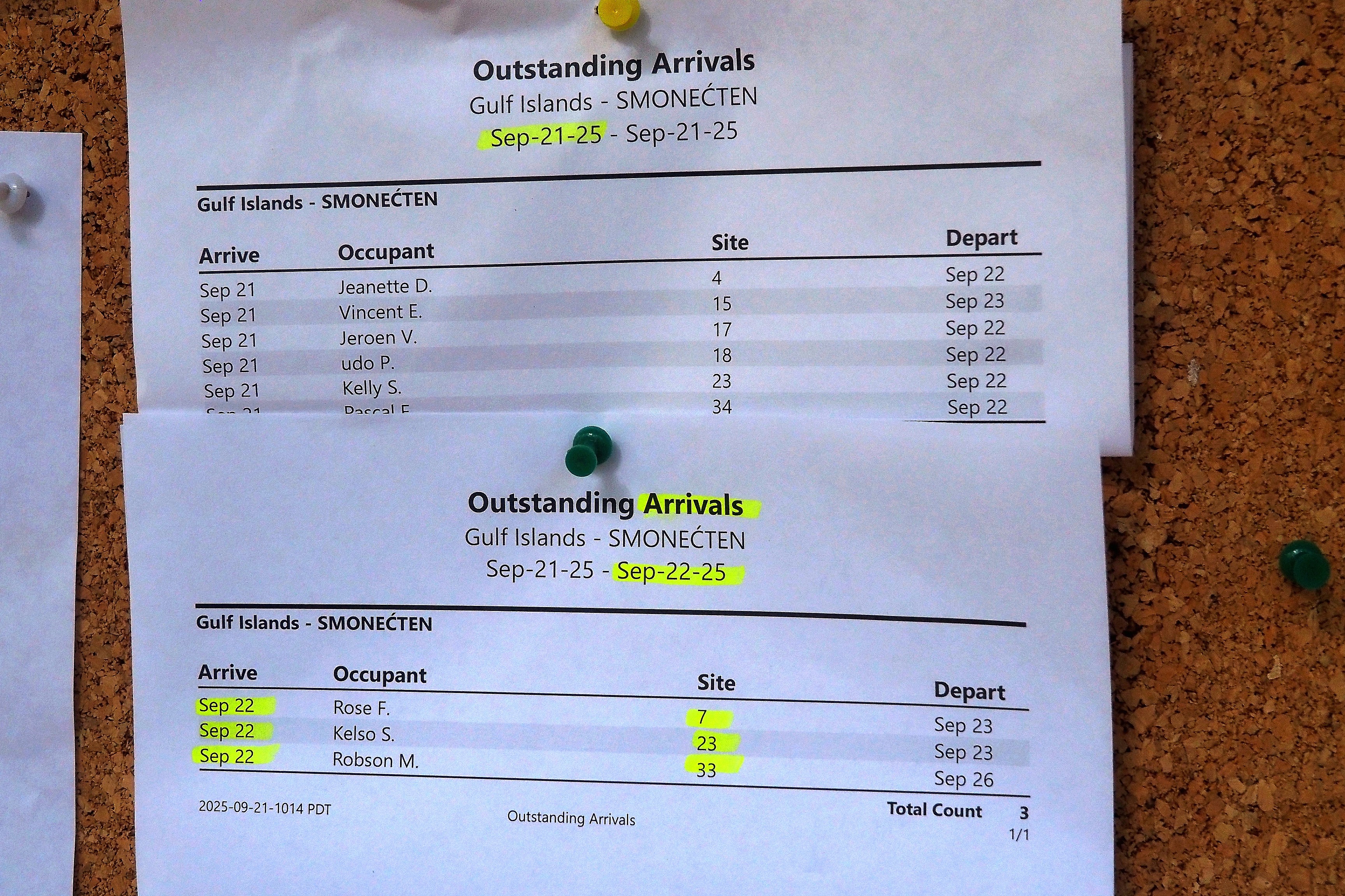
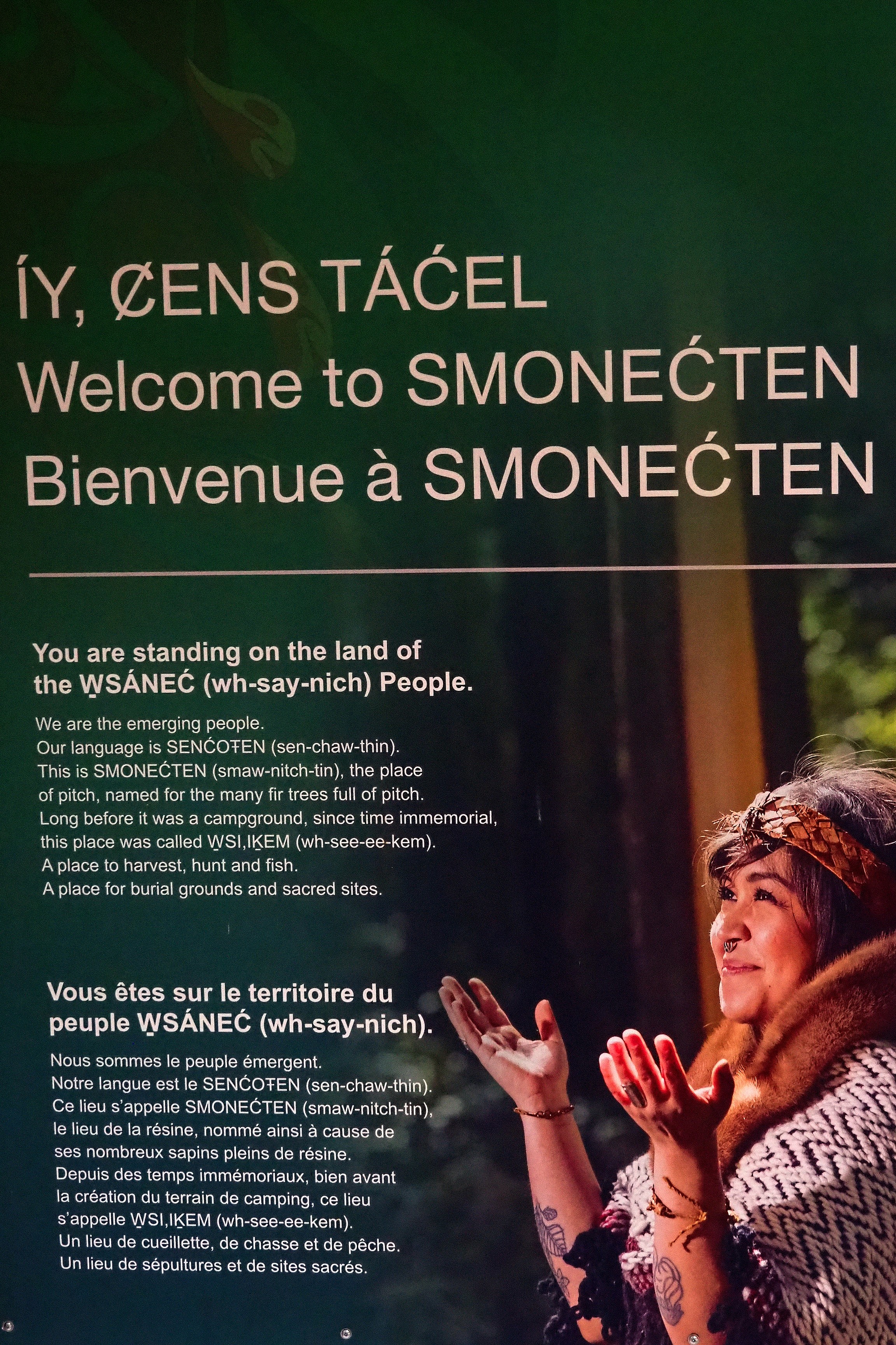
Arrivals list at the SMONEĆTEN campground in the Gulf Islands.Welcome sign on the ancestral territory of the W̱SÁNEĆ people at SMONEĆTEN, British Columbia.
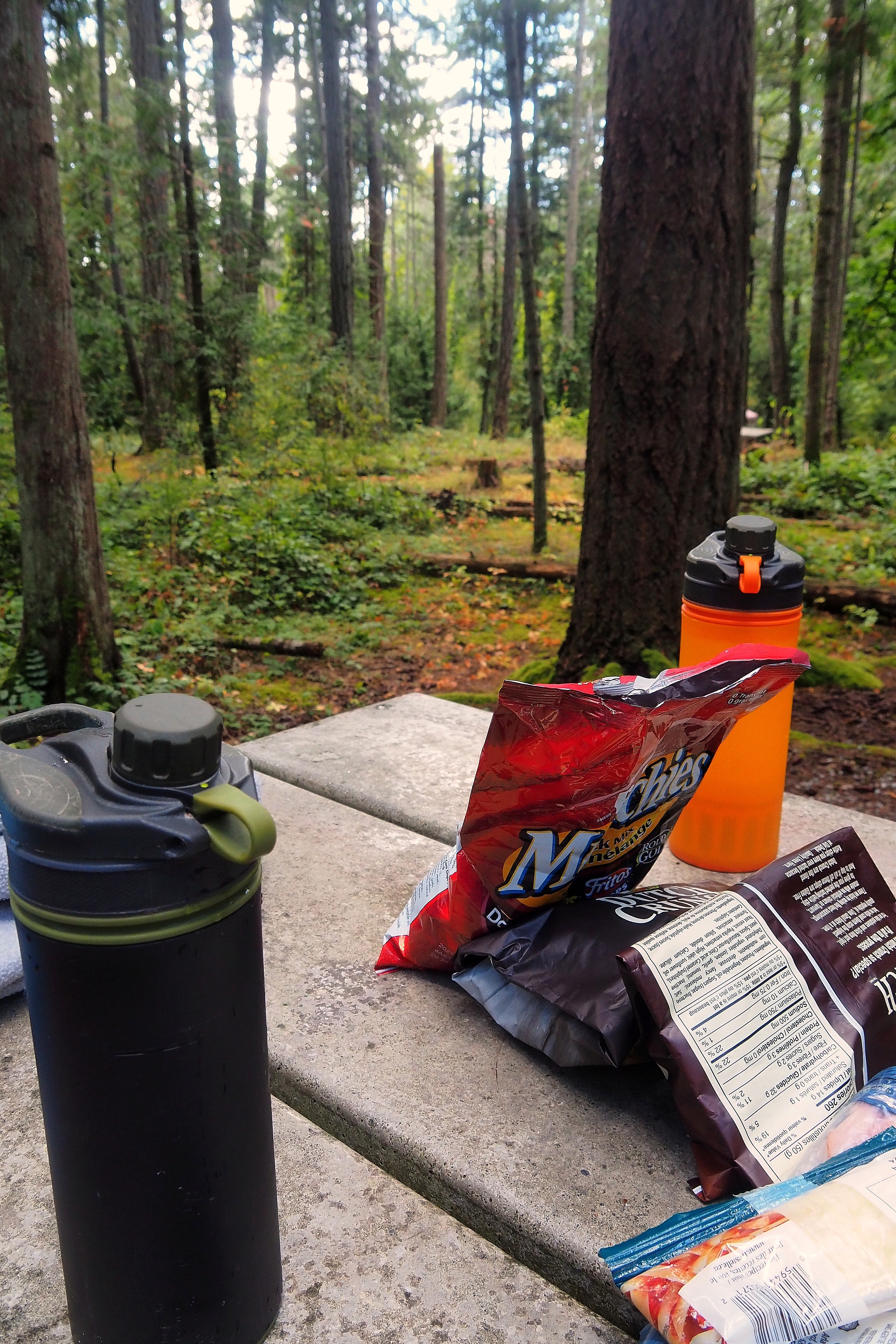
Snack on a picnic table at McDonald Campground.

Butchart Gardens

For this afternoon, we are going to the Butchart Gardens. Born from Jennie Butchart's passion at the beginning of the 20th century, this 22-hectare horticultural site is a successful conversion: it was entirely landscaped at the bottom of an old limestone mine that was exhausted and abandoned by the family cement factory. Today managed by the same family, the site celebrates over 100 years of horticultural blooming and welcomes over a million visitors per year.
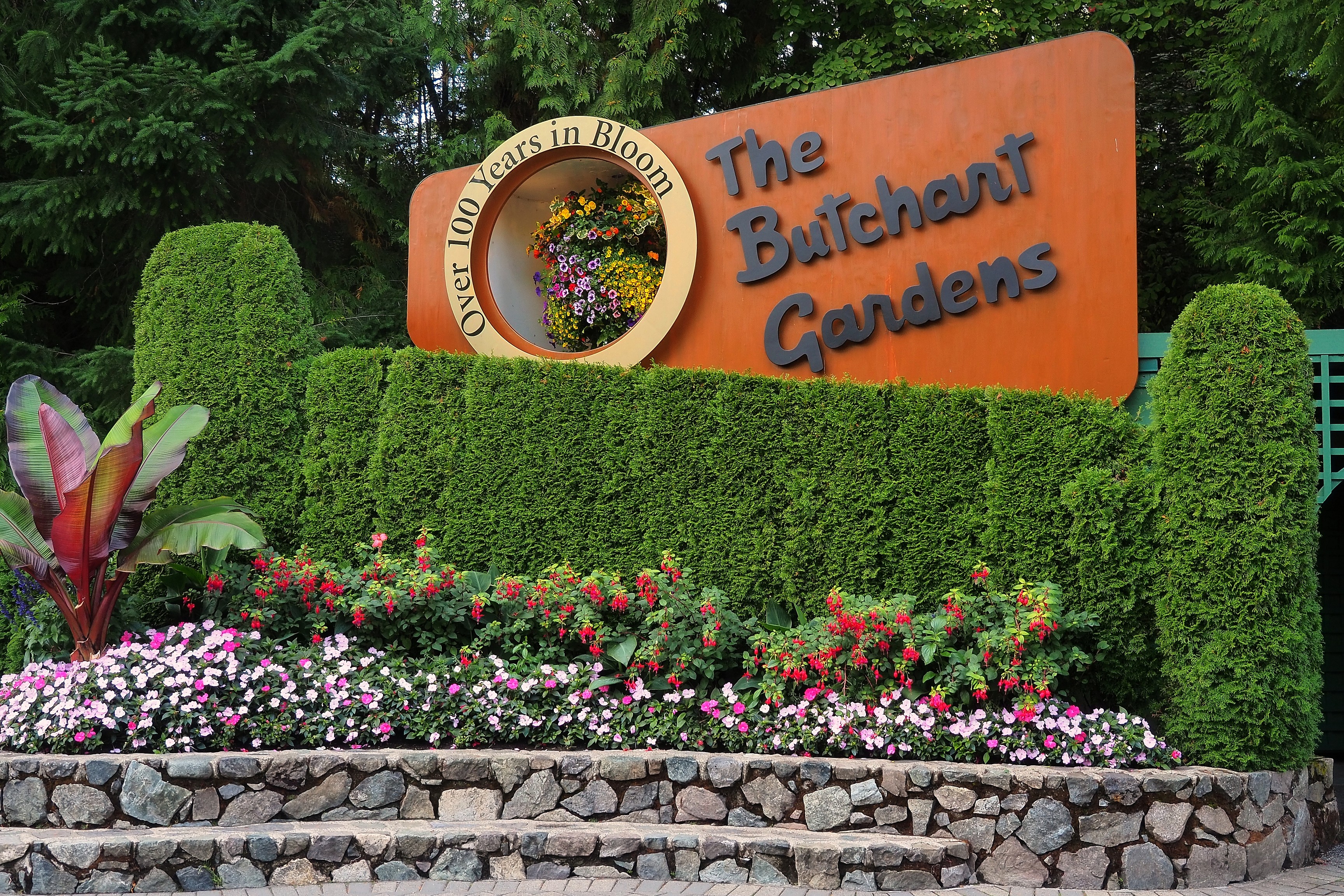
Entrance sign and flower beds at Butchart Gardens.Private residence and flower beds at Butchart Gardens.
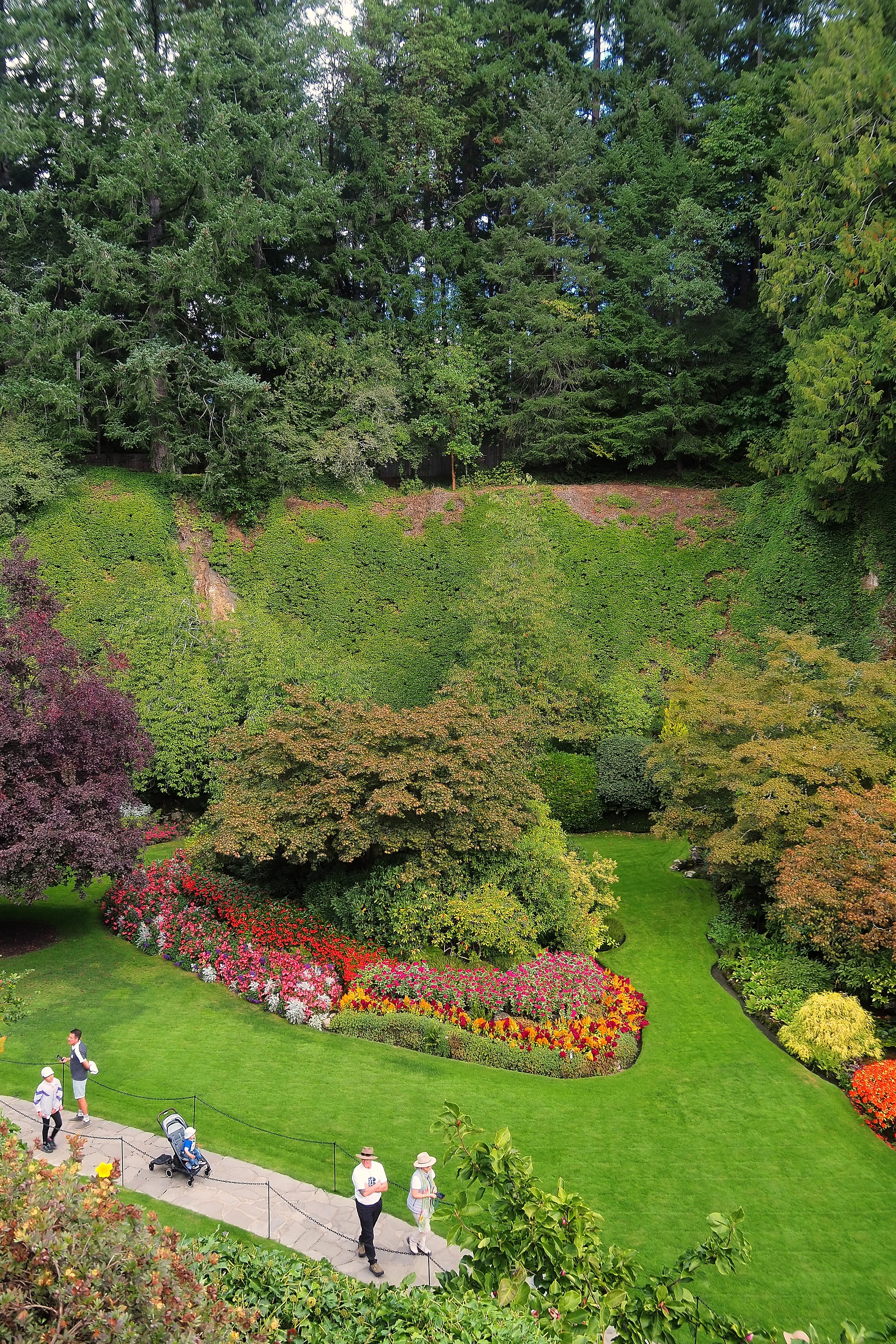
Flower beds in the Sunken Garden at Butchart Gardens.Colorful floral beds in the Sunken Garden at Butchart Gardens.
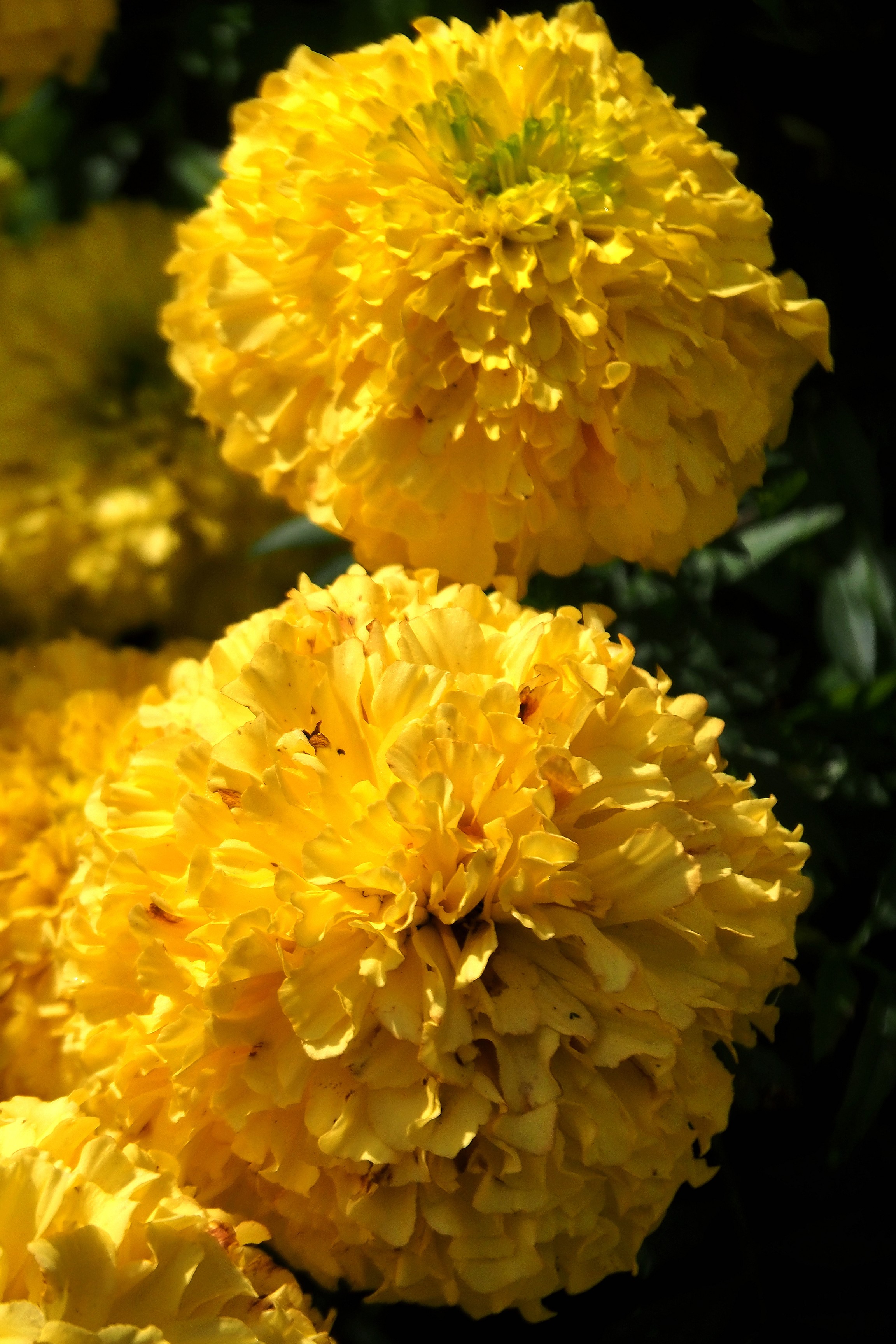
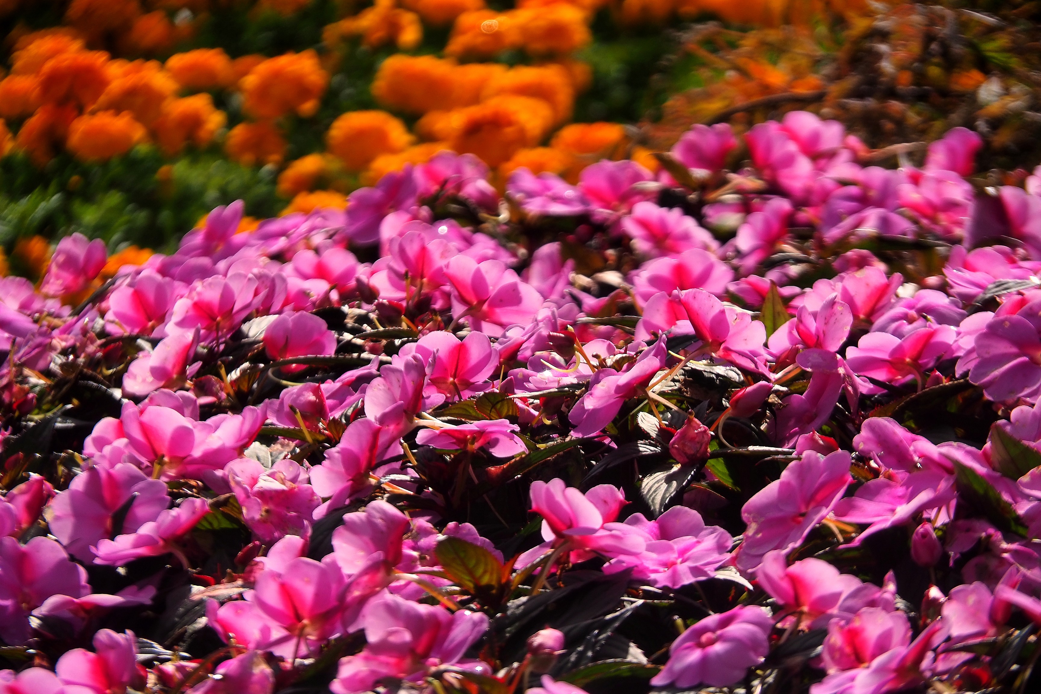
Close-up of red chrysanthemums at Butchart Gardens.Close-up of yellow marigolds at Butchart Gardens.Pink impatiens and orange marigolds at Butchart Gardens.
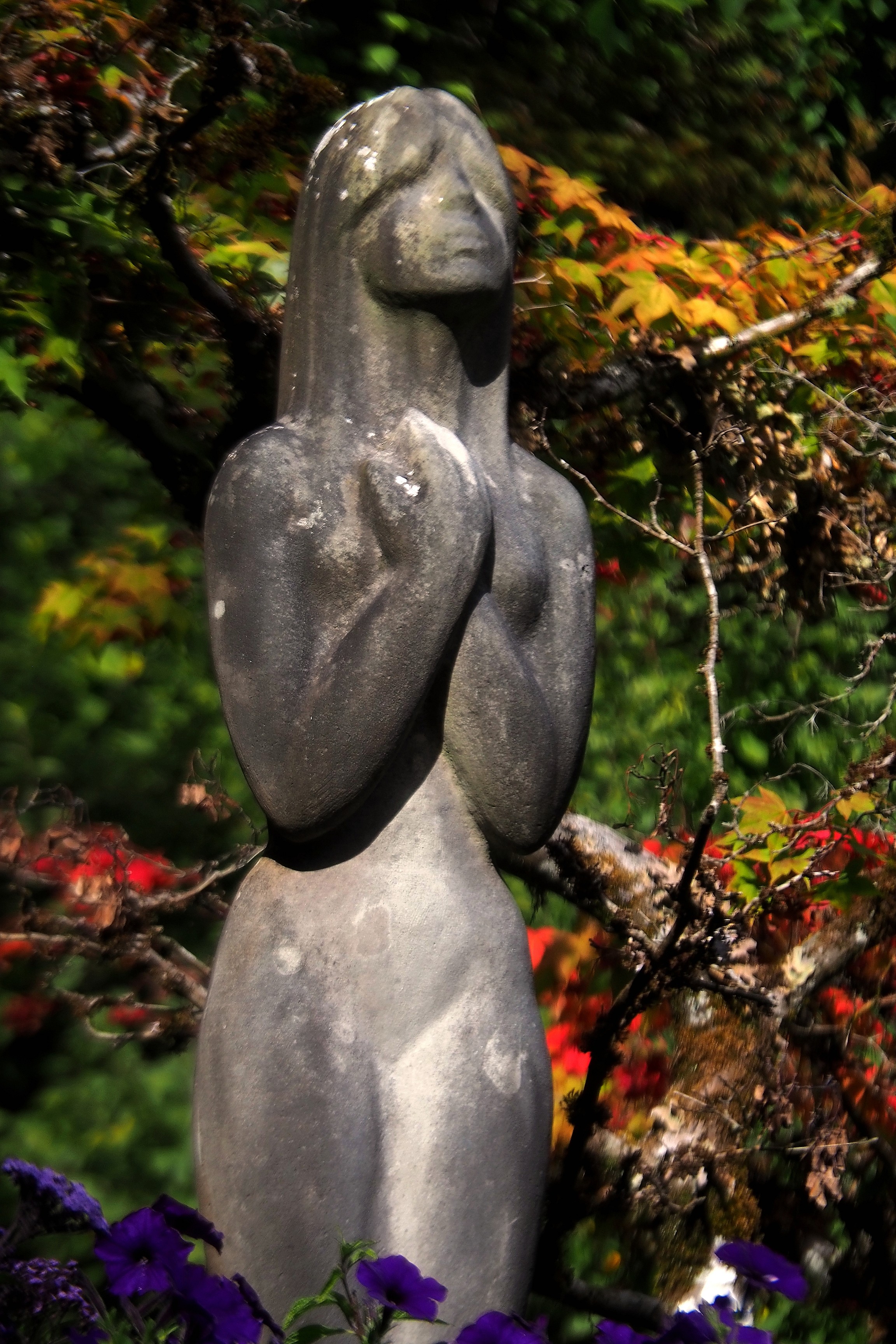
Stone statue of a woman at Butchart Gardens.Weeping willow and reflections on the pond at Butchart Gardens.
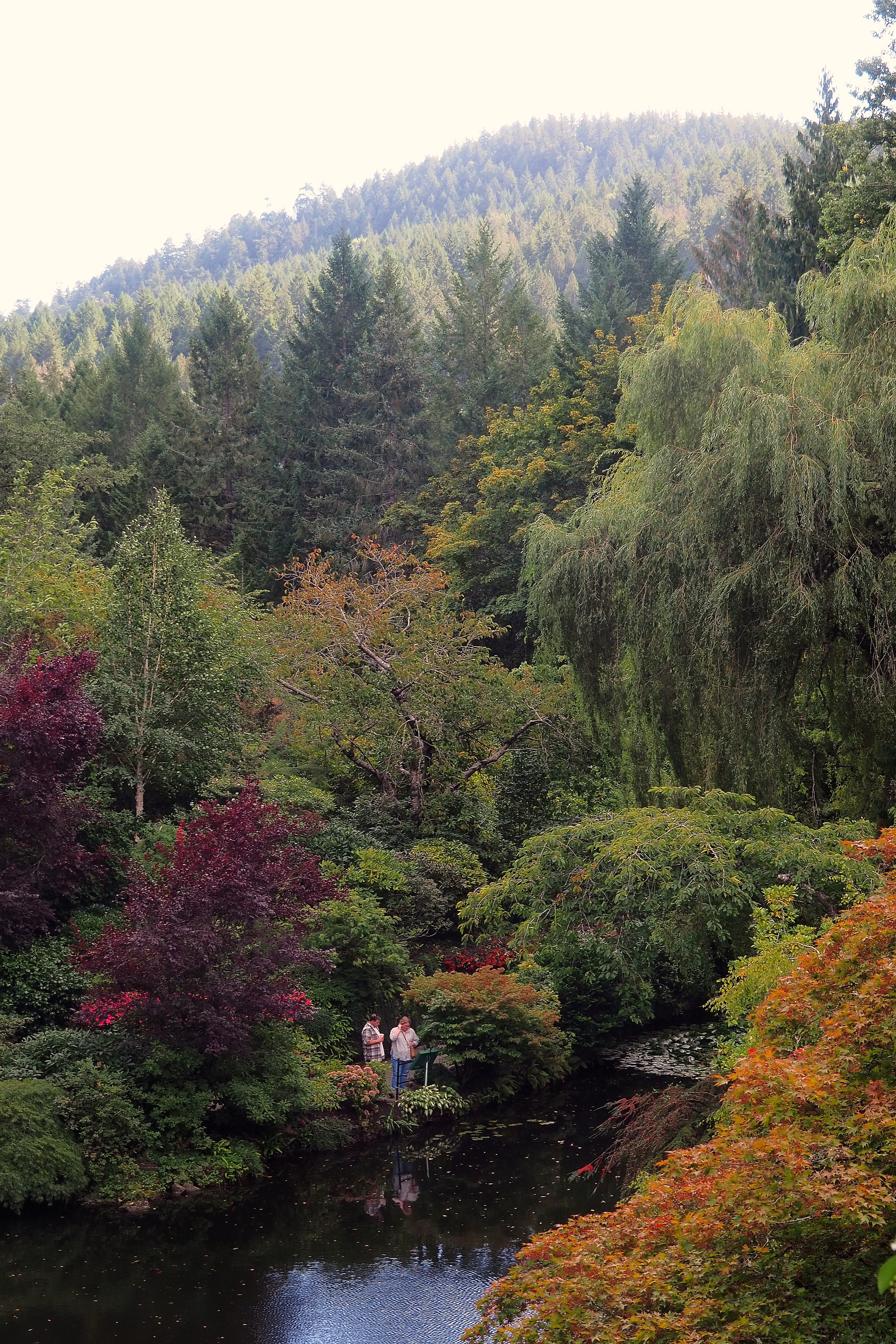
Staircase bordered by rocks, ivy, and cypress trees at Butchart Gardens.High-angle view of the flower beds in the Sunken Garden at Butchart Gardens.Flower beds in the Sunken Garden at Butchart Gardens.Japanese garden pond at Butchart Gardens in autumn.
Visitors at the Sunken Garden viewpoint at Butchart Gardens.Fountain in the Sunken Garden pond at Butchart Gardens.
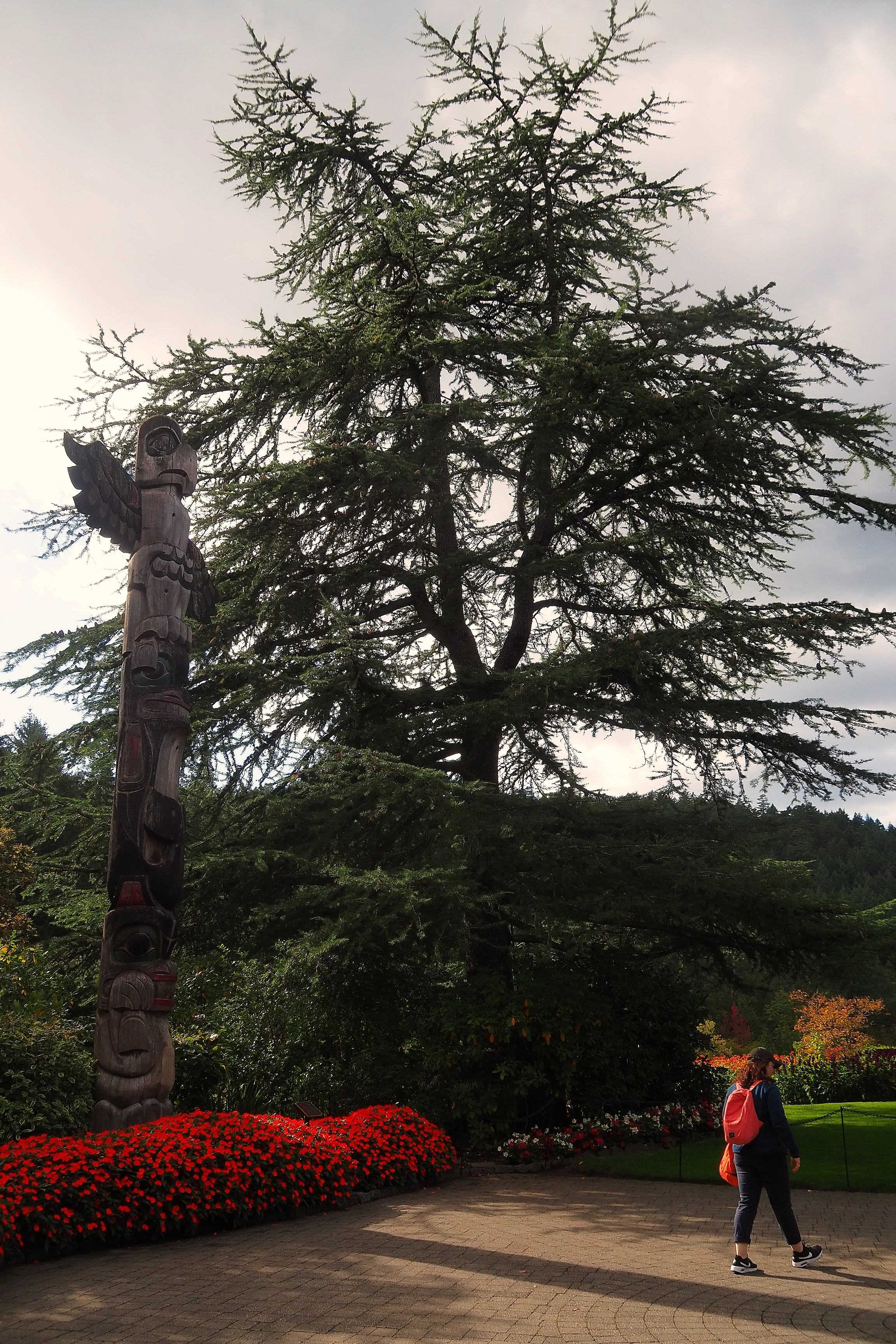
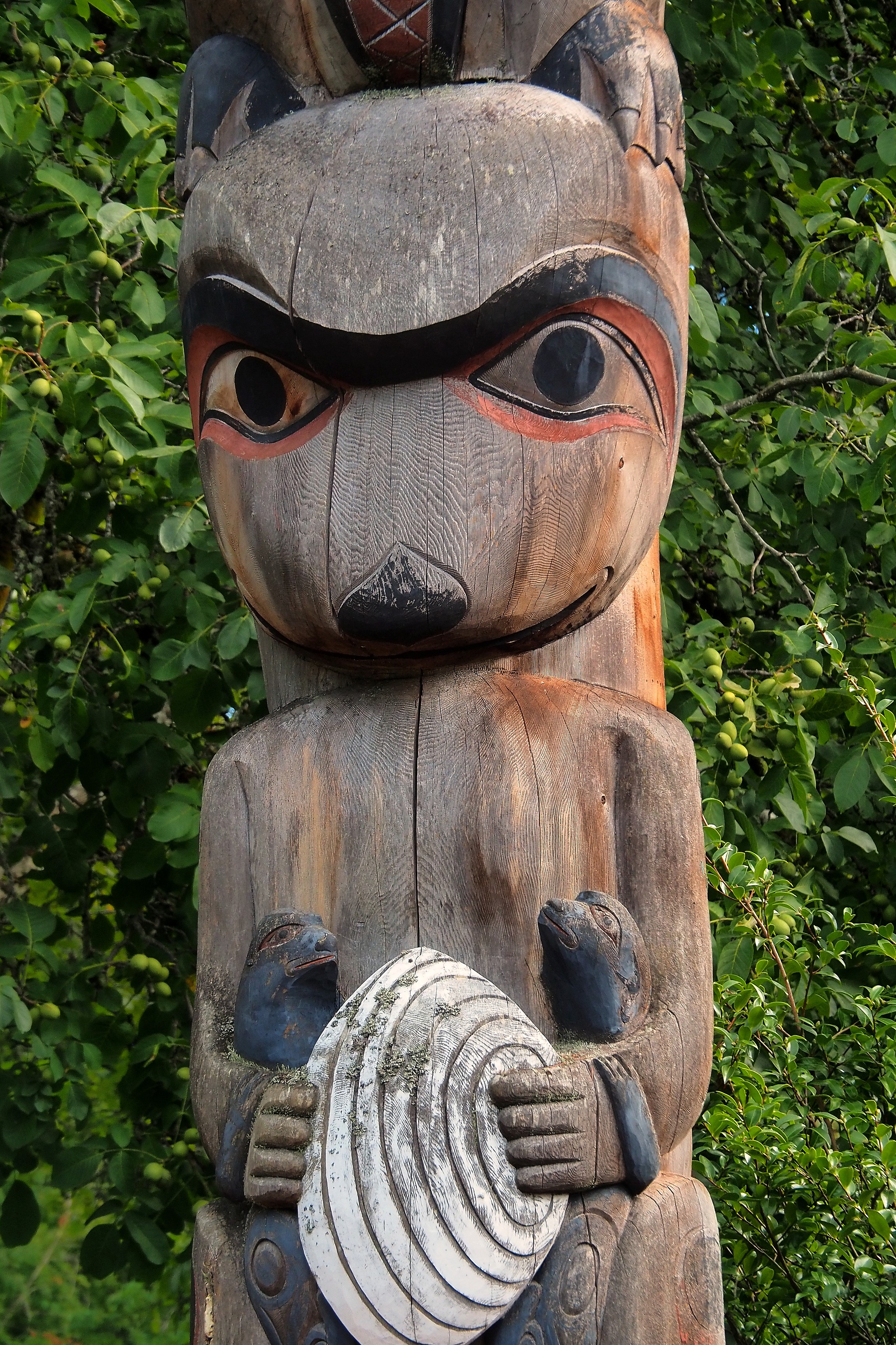
Totem pole and red flower beds at Butchart Gardens.Indigenous totem pole amidst red flower beds at Butchart Gardens.First Nations totem pole at Butchart Gardens.
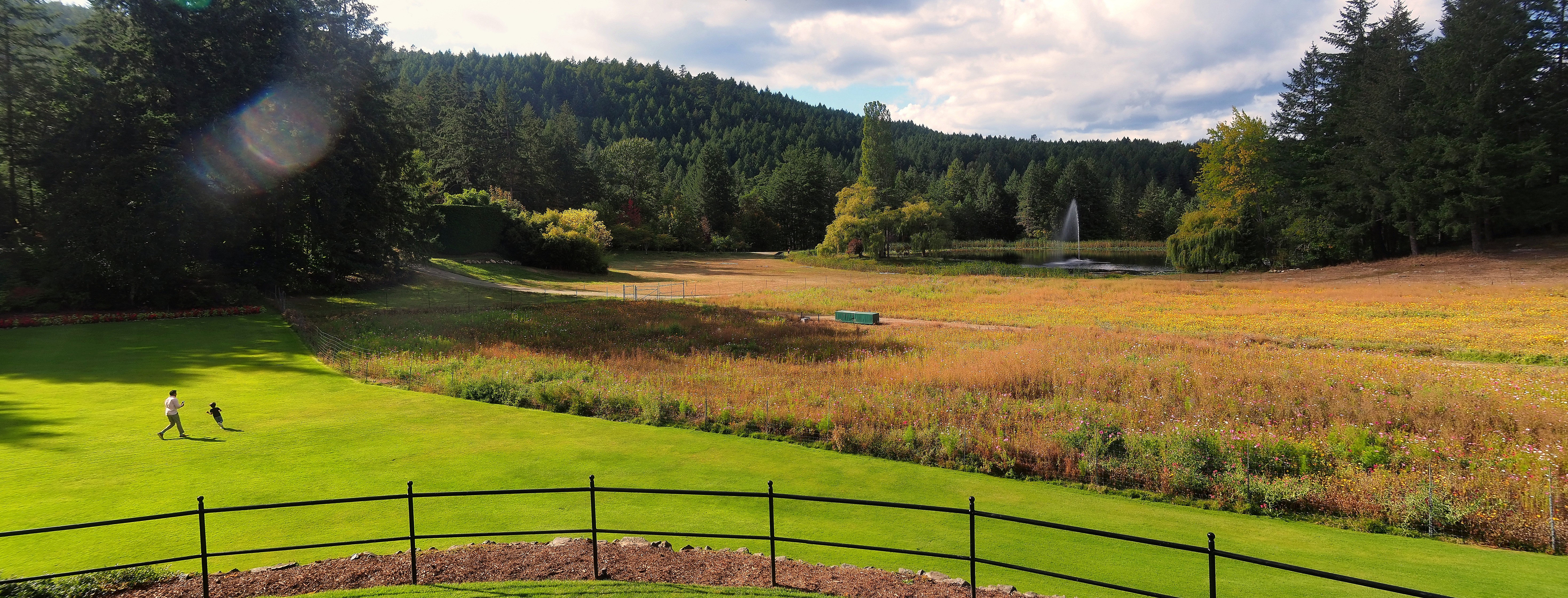
Lawn, flower field, and pond with fountain at Butchart Gardens.
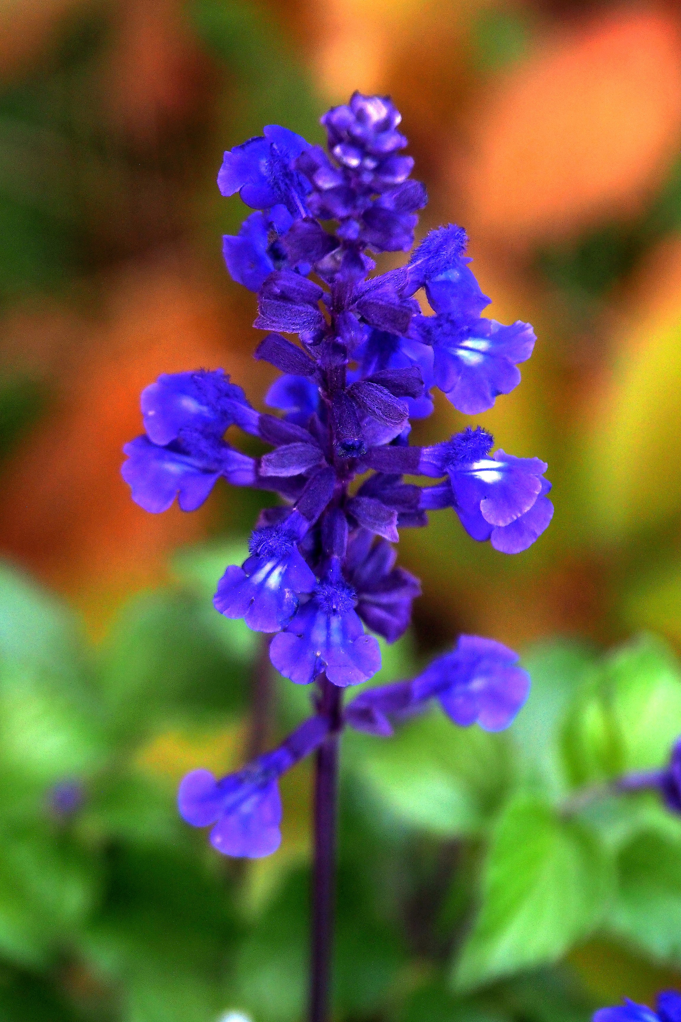
Blue sage flower at Butchart Gardens.Backlit magenta flower at Butchart Gardens.Orange flower at Butchart Gardens.
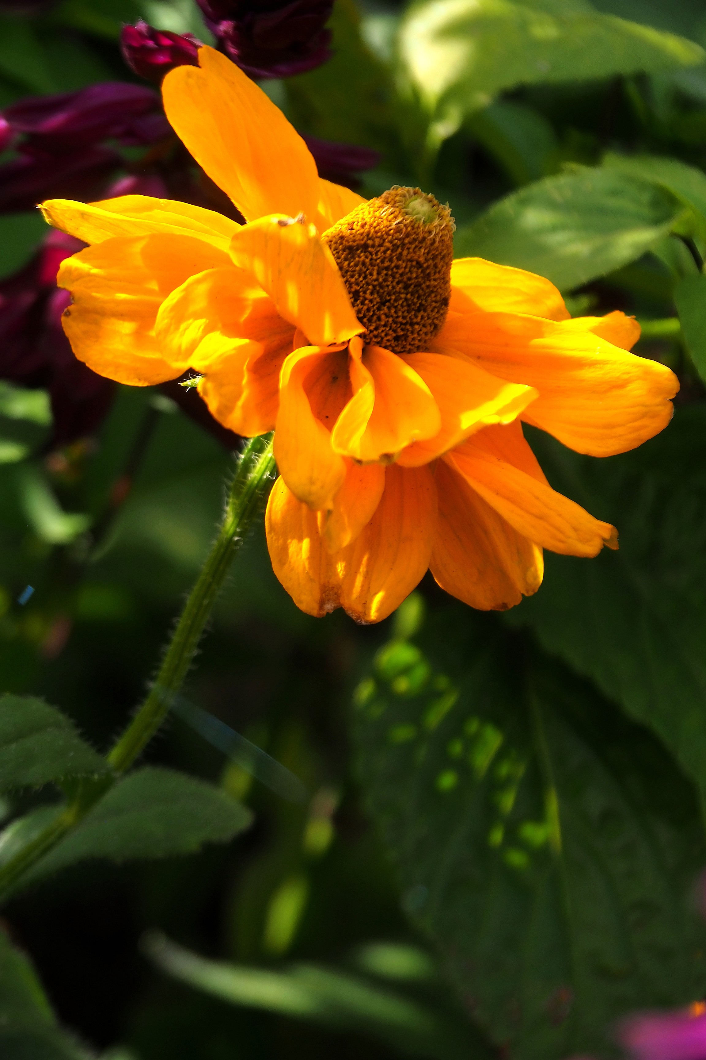
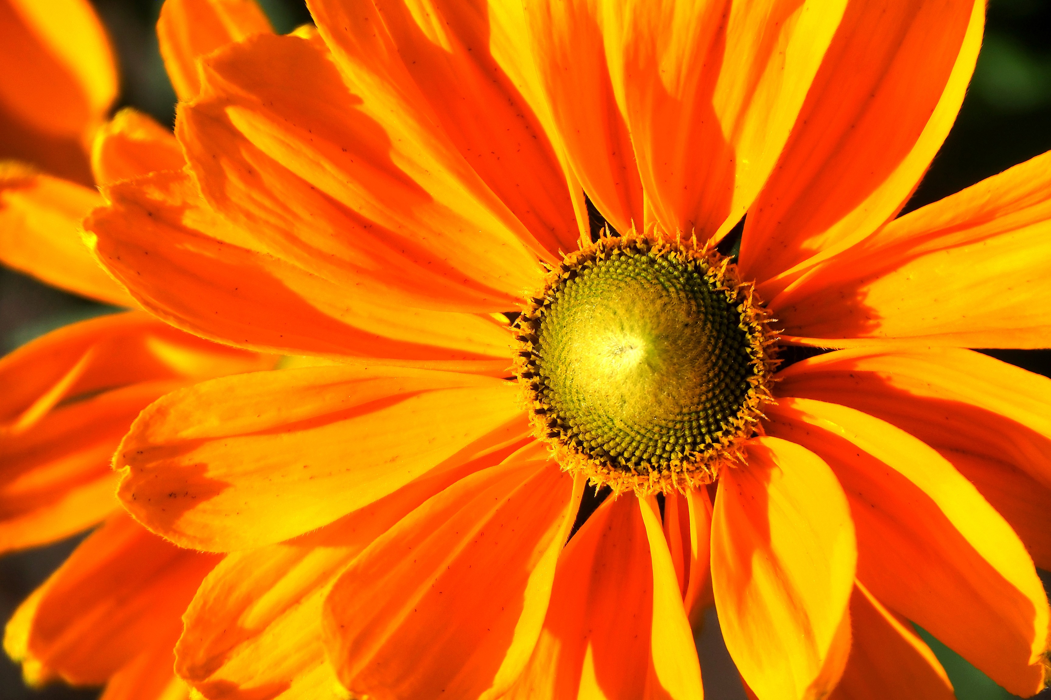
Rudbeckia flower at Butchart Gardens.
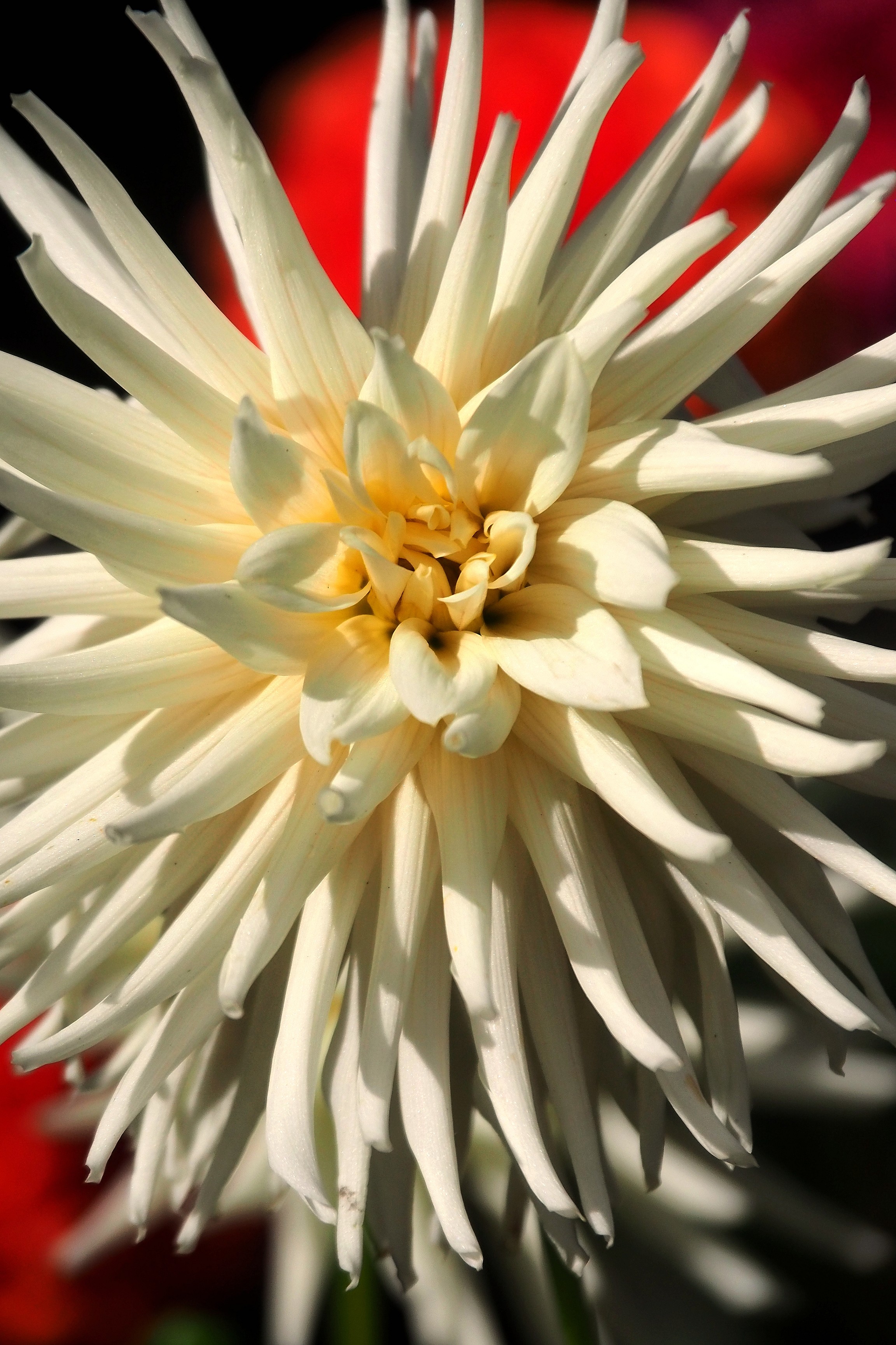
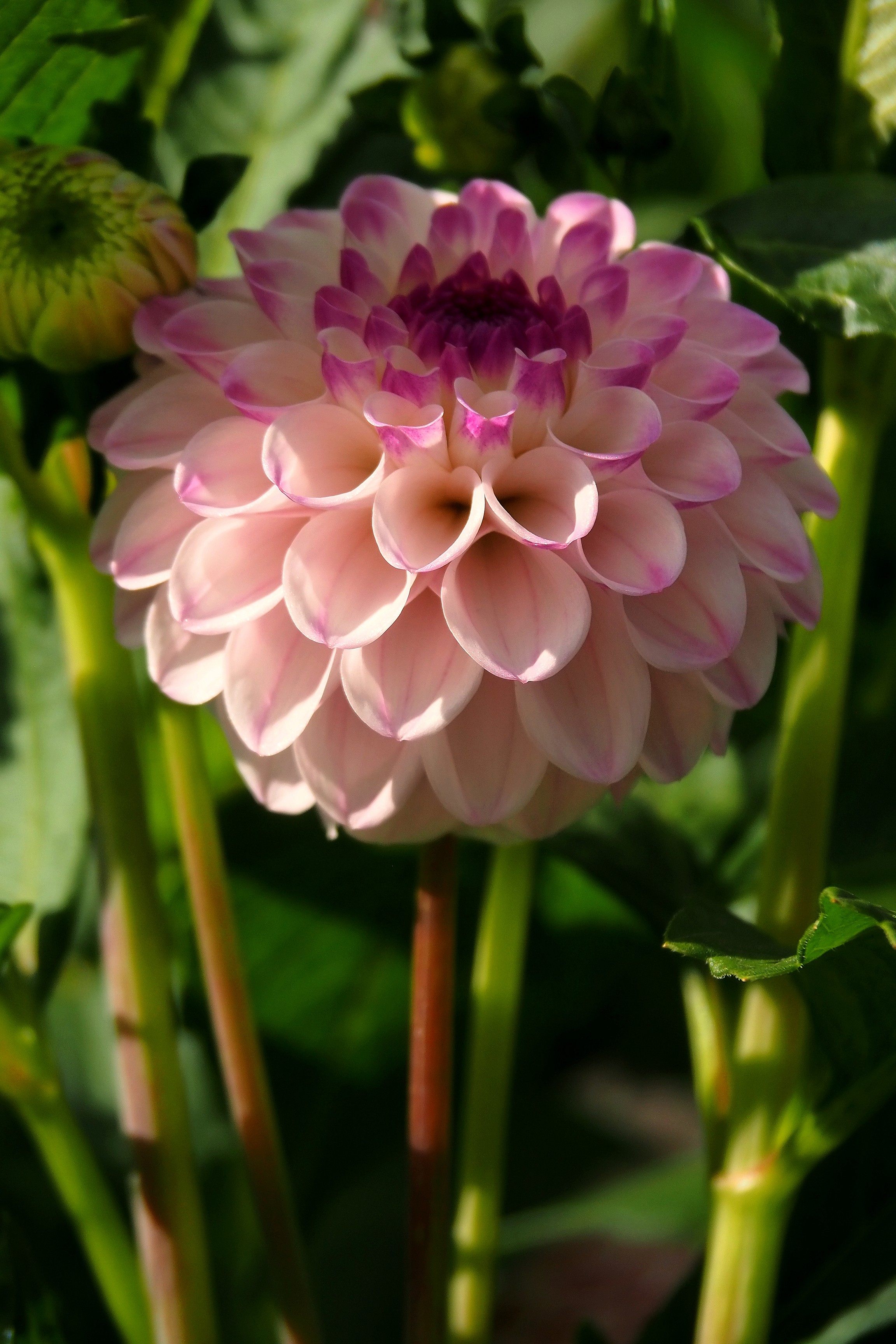
Macro of a pink dahlia flower at Butchart Gardens.Orange dahlia at Butchart Gardens.Close-up of a yellow dahlia at Butchart Gardens.
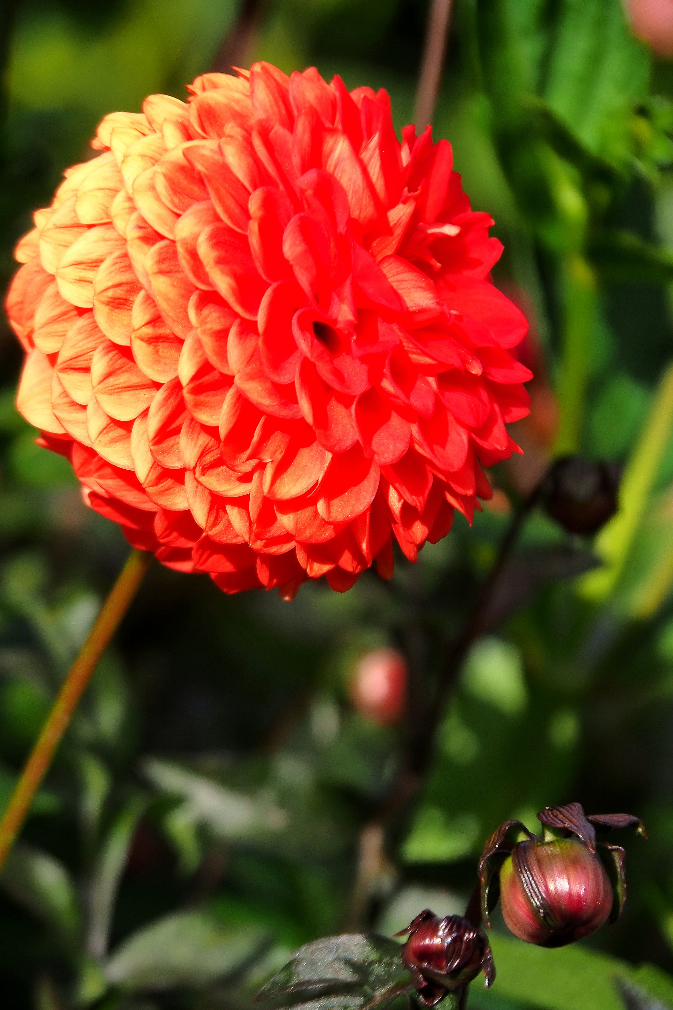
Red and orange dahlia at Butchart Gardens.White cactus dahlia at Butchart Gardens.Red pompon-type dahlia at Butchart Gardens.
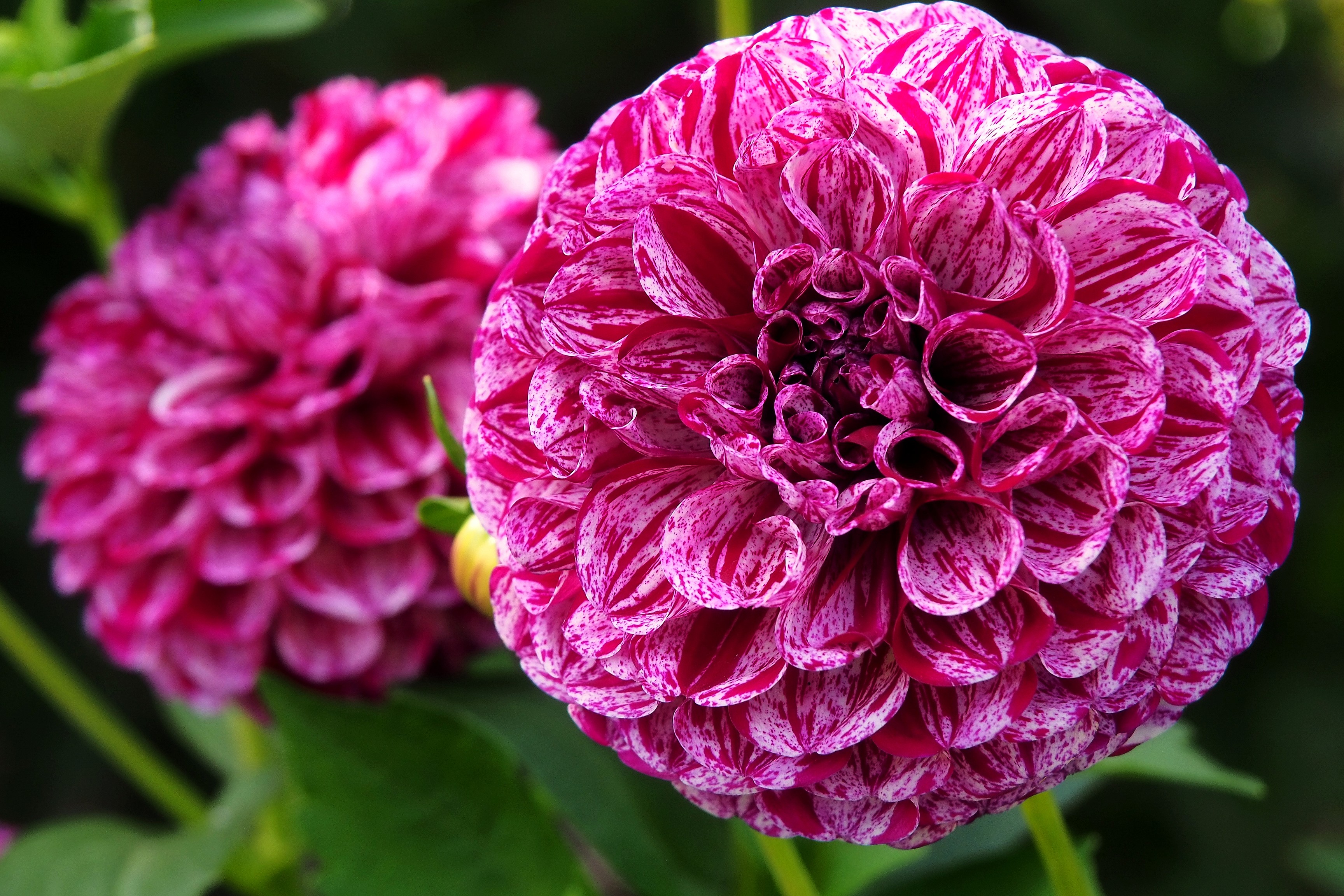
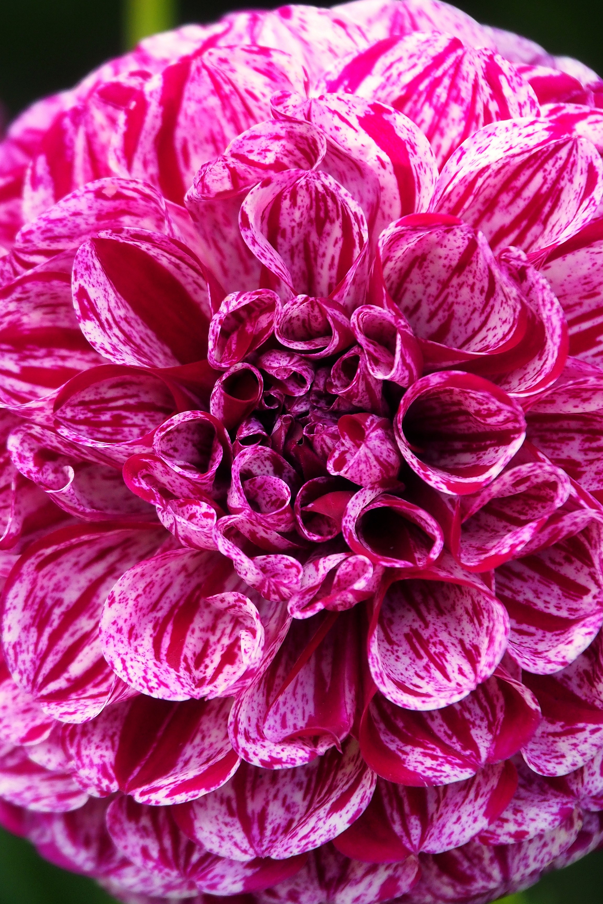
Pink and white dahlia with a yellow center at Butchart Gardens.Bicolor pompon dahlia at Butchart Gardens.
Red and white dahlia at Butchart Gardens.Pink and white dahlia at Butchart Gardens.
Pink and white dahlia in the Butchart Gardens.Red dahlia in the Butchart Gardens.

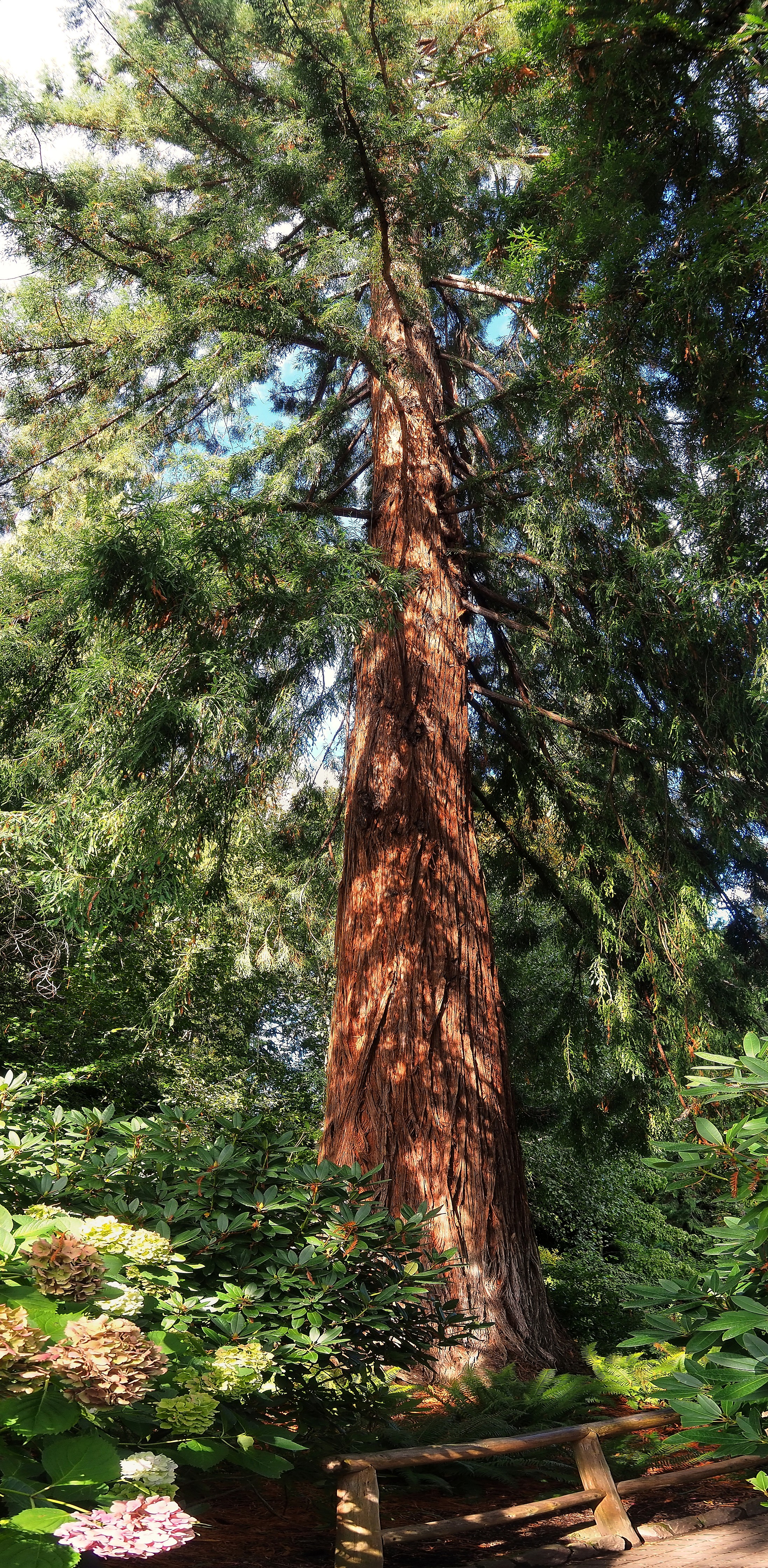
Sequoia sempervirens planted in 1934 point majestically toward the sky.

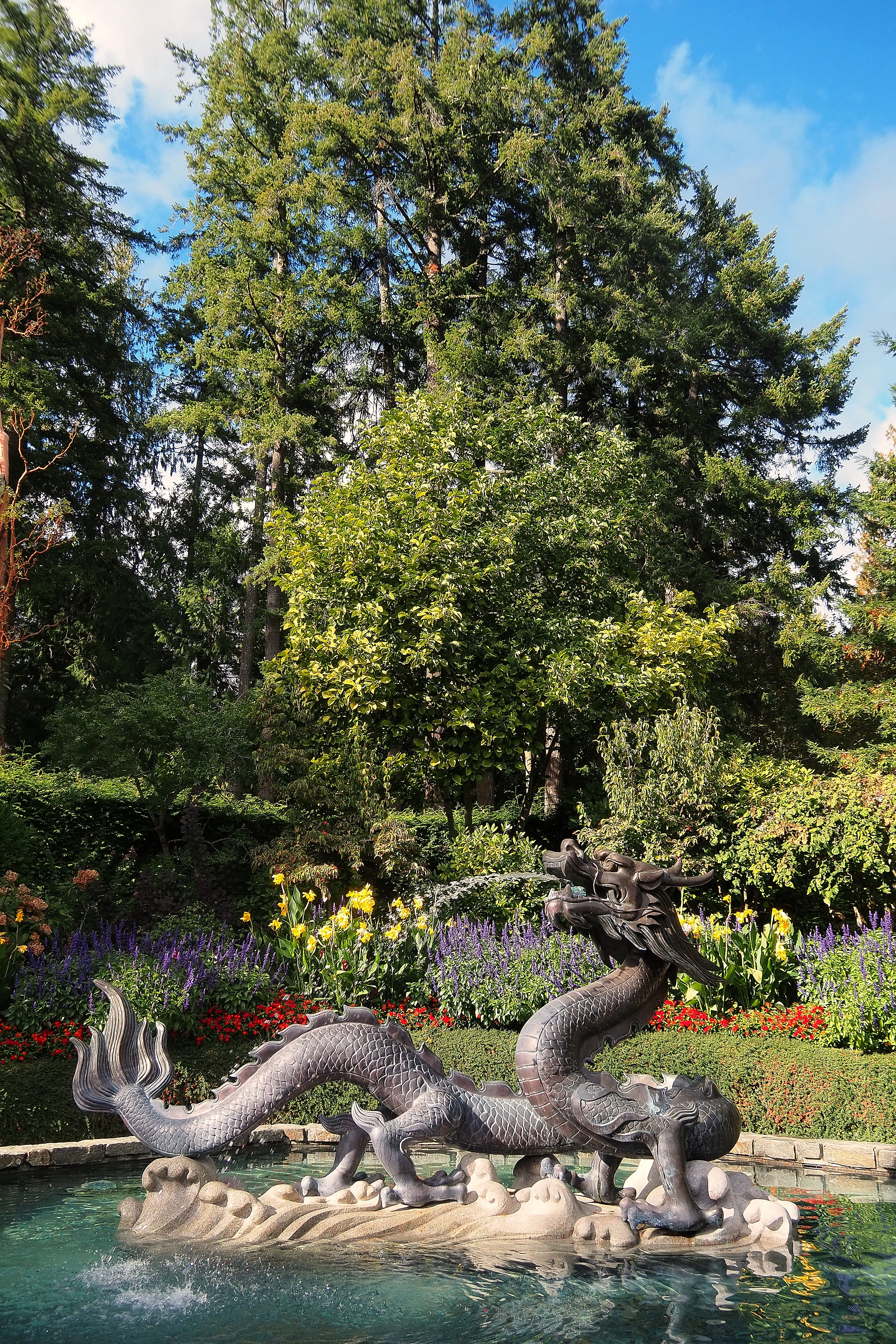
Giant sequoia in Butchart Gardens.Dragon fountain within Butchart Gardens.
Sequoia sempervirens planted in 1934 at Butchart Gardens.Fibrous bark of a red cedar at Butchart Gardens.
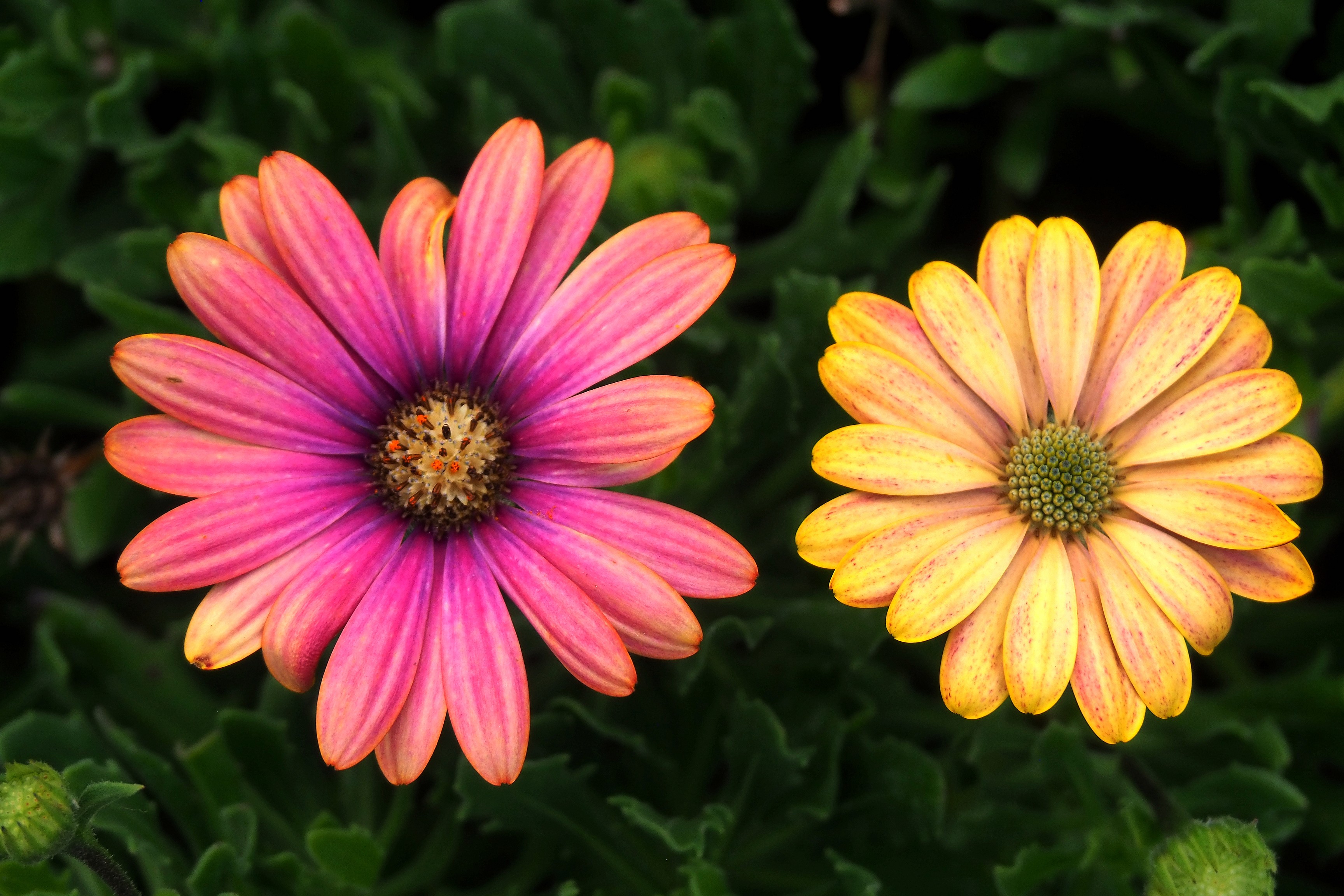
Pink and yellow African daisies at Butchart Gardens.
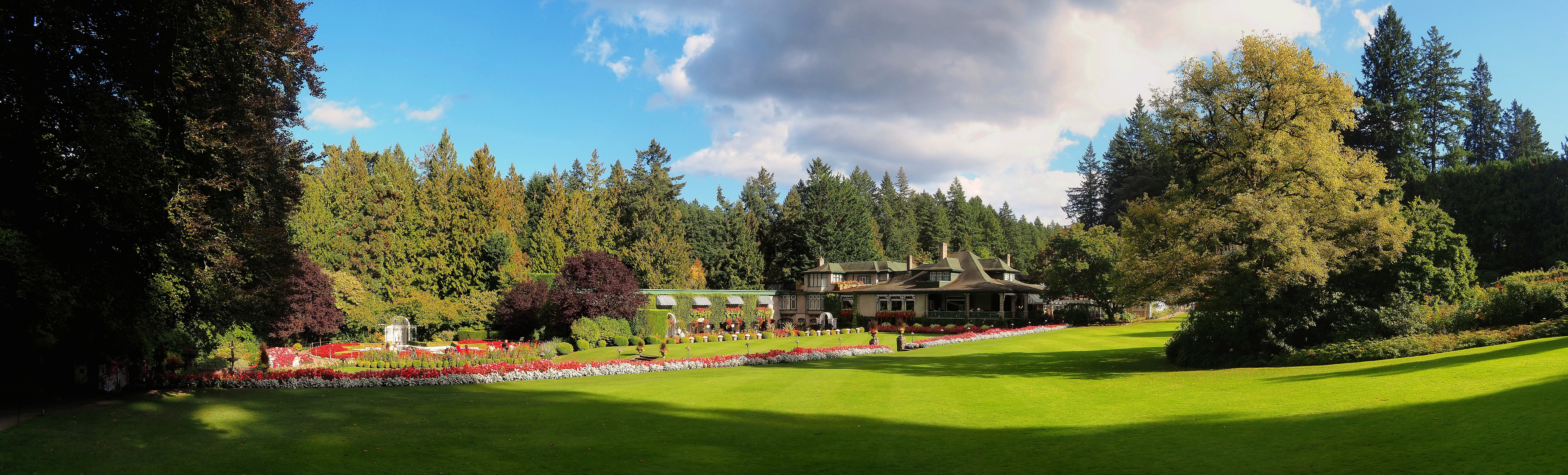
Butchart residence and flower beds in the Butchart Gardens.
Sturgeon fountain in the Japanese Garden at Butchart Gardens.Path in the Japanese Garden at Butchart Gardens.
Mossy trees and ferns in the Japanese Garden at Butchart Gardens.

A small harbor for seaplanes at the end of the park.

Boats moored at the Butchart Cove dock, near Butchart Gardens.

The Japanese part of the garden.

Pine, rocks, and moss in the Japanese Garden at Butchart Gardens.Wooden lid of a Japanese lantern at Butchart Gardens.Stone lantern in the Japanese Garden at Butchart Gardens.

Willis Point Dive Site

We leave the garden to explore the surroundings of Victoria by car, here at Willis Point Drive, on the shores of the Saanich Inlet.

Boats, docks, and coastal forest on Saanich Inlet at Willis Point.
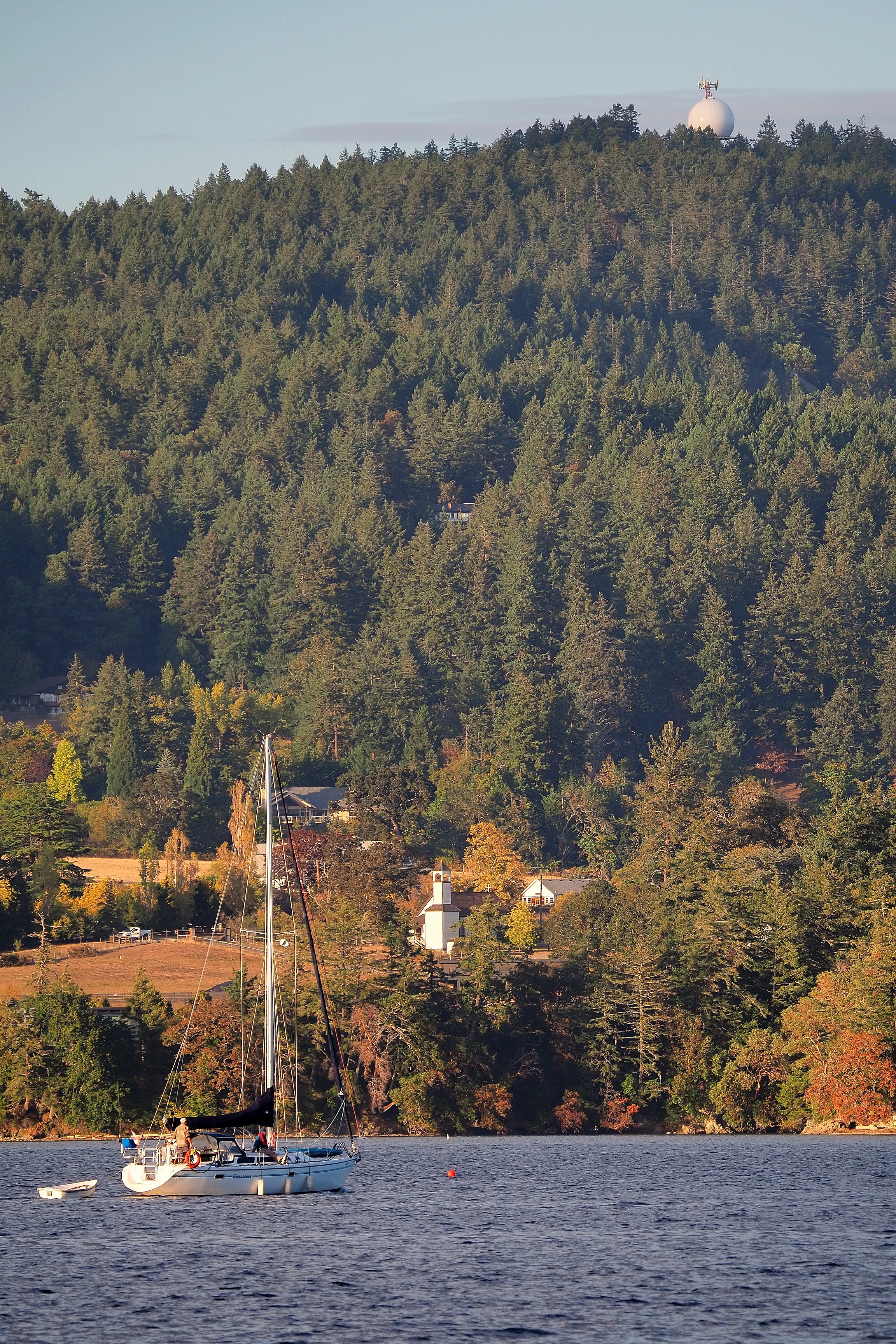
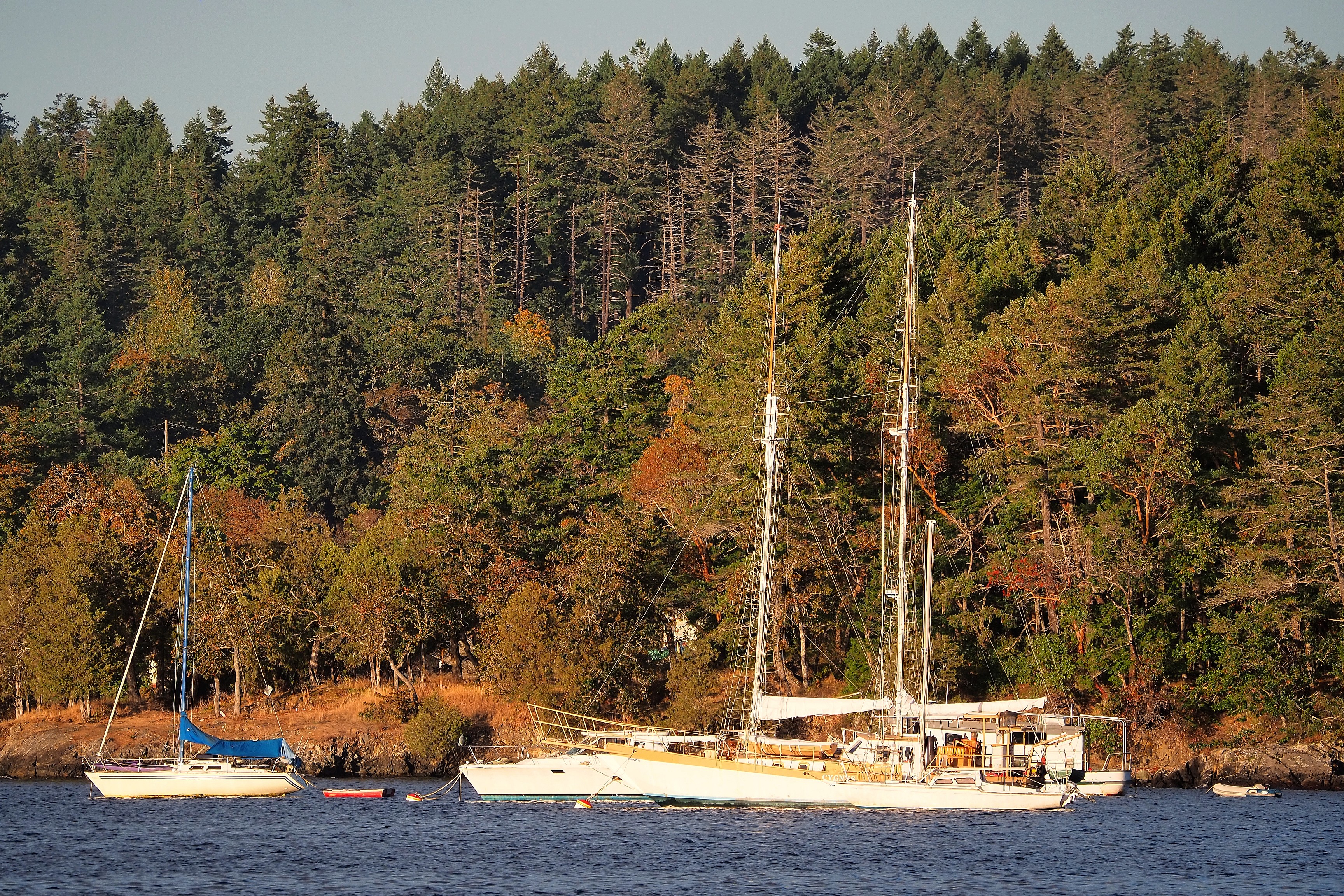
Sailboat Sanssouci off Willis Point, in front of the wooded hills.Sailboat near the Willis Point church with the Mount Work radar dome in the background.Sailboats at anchor facing the autumn forest of Willis Point.

Perched at the top of Mount Newton, a radome houses surveillance radar equipment for aviation and meteorology.

Radome on Willis Point overlooking the church and the forest in autumn.

Victoria

On this new day, we return to Victoria to visit the city but also to head out to sea to discover whales...  

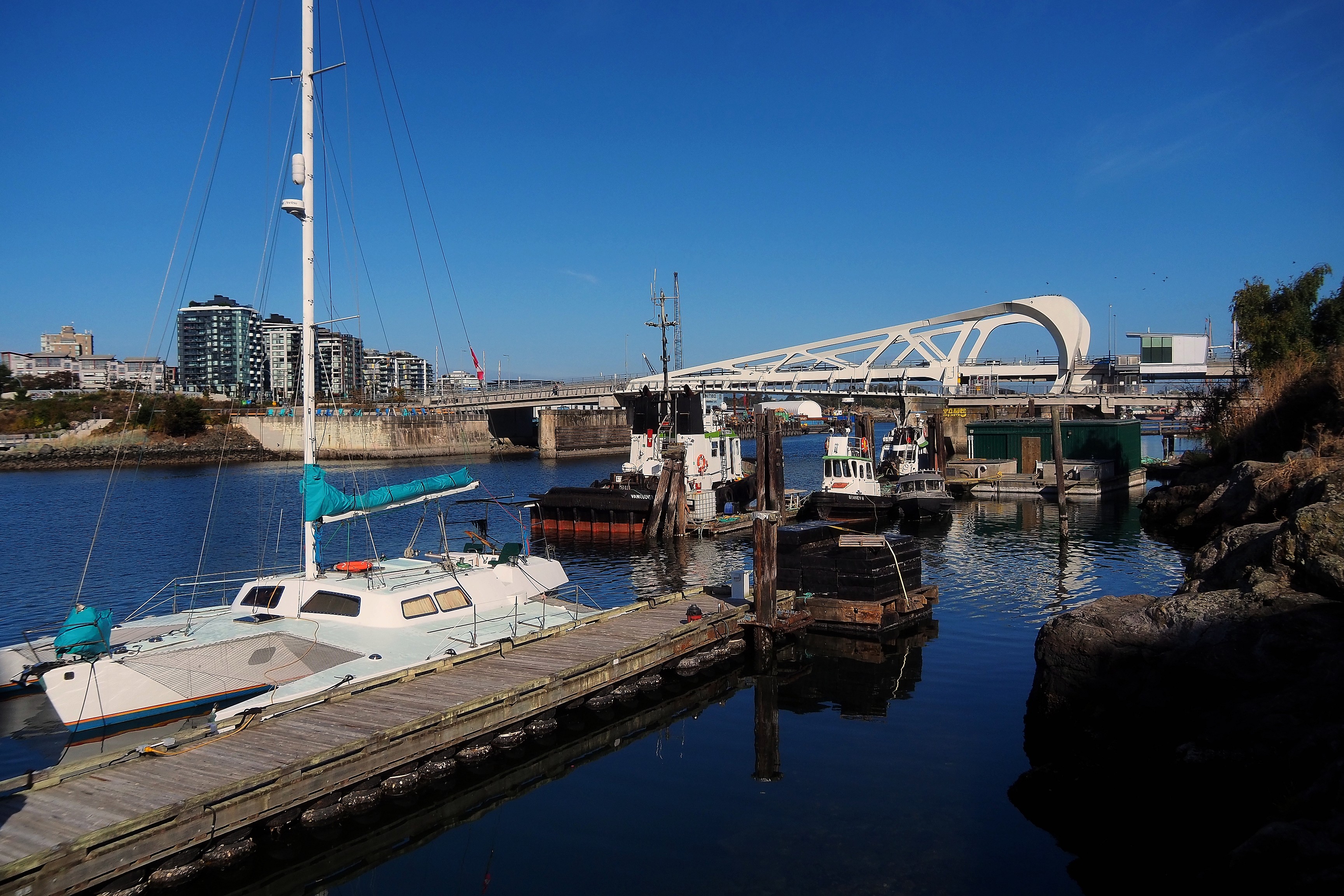
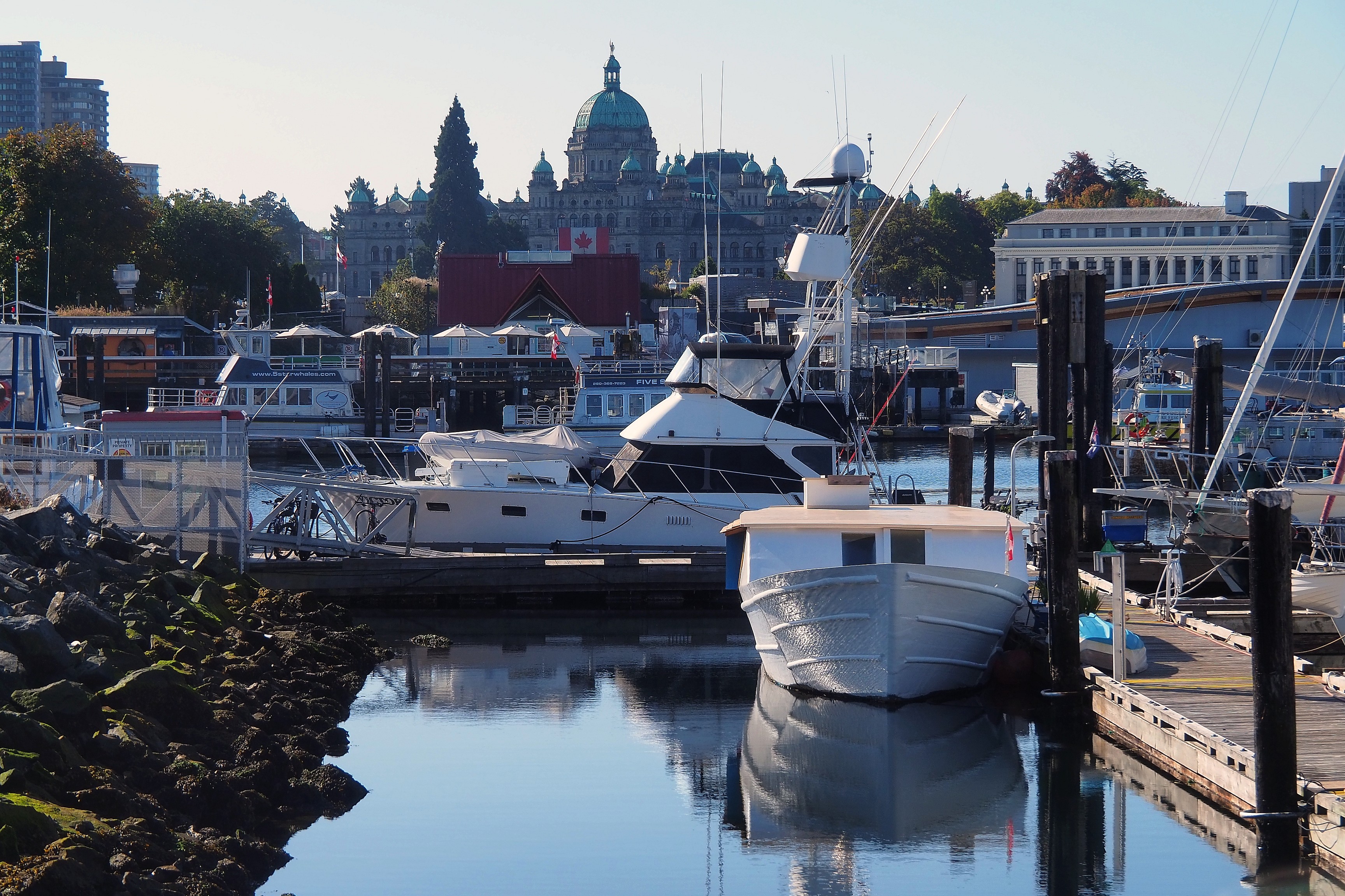
Trimaran and tugboats moored near the Johnson Street Bridge in Victoria.Boats moored in the Inner Harbour facing the British Columbia Parliament Building in Victoria.
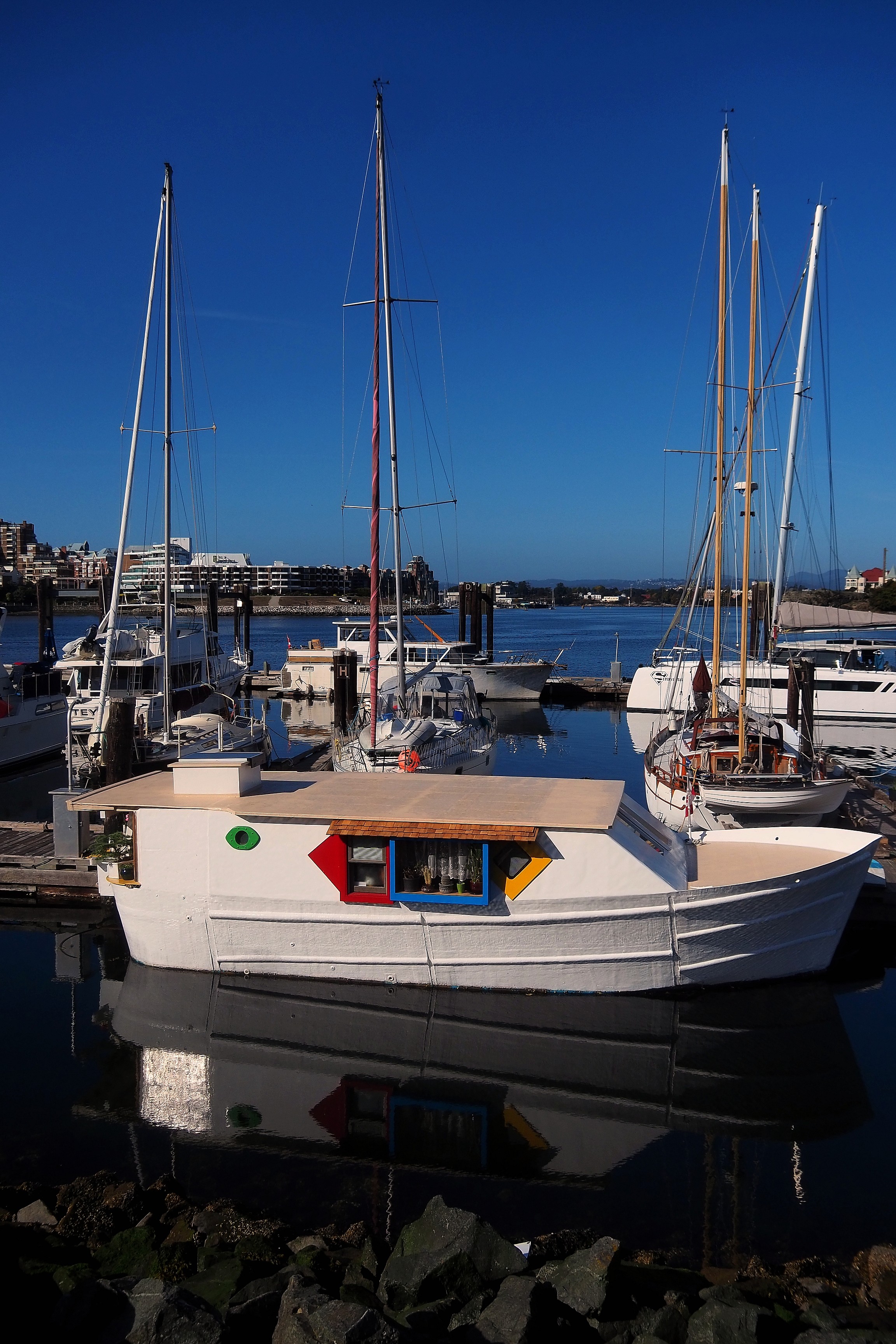
Colorful houseboat in Victoria's Inner Harbour.
Boats and docks in Victoria's Inner Harbour.
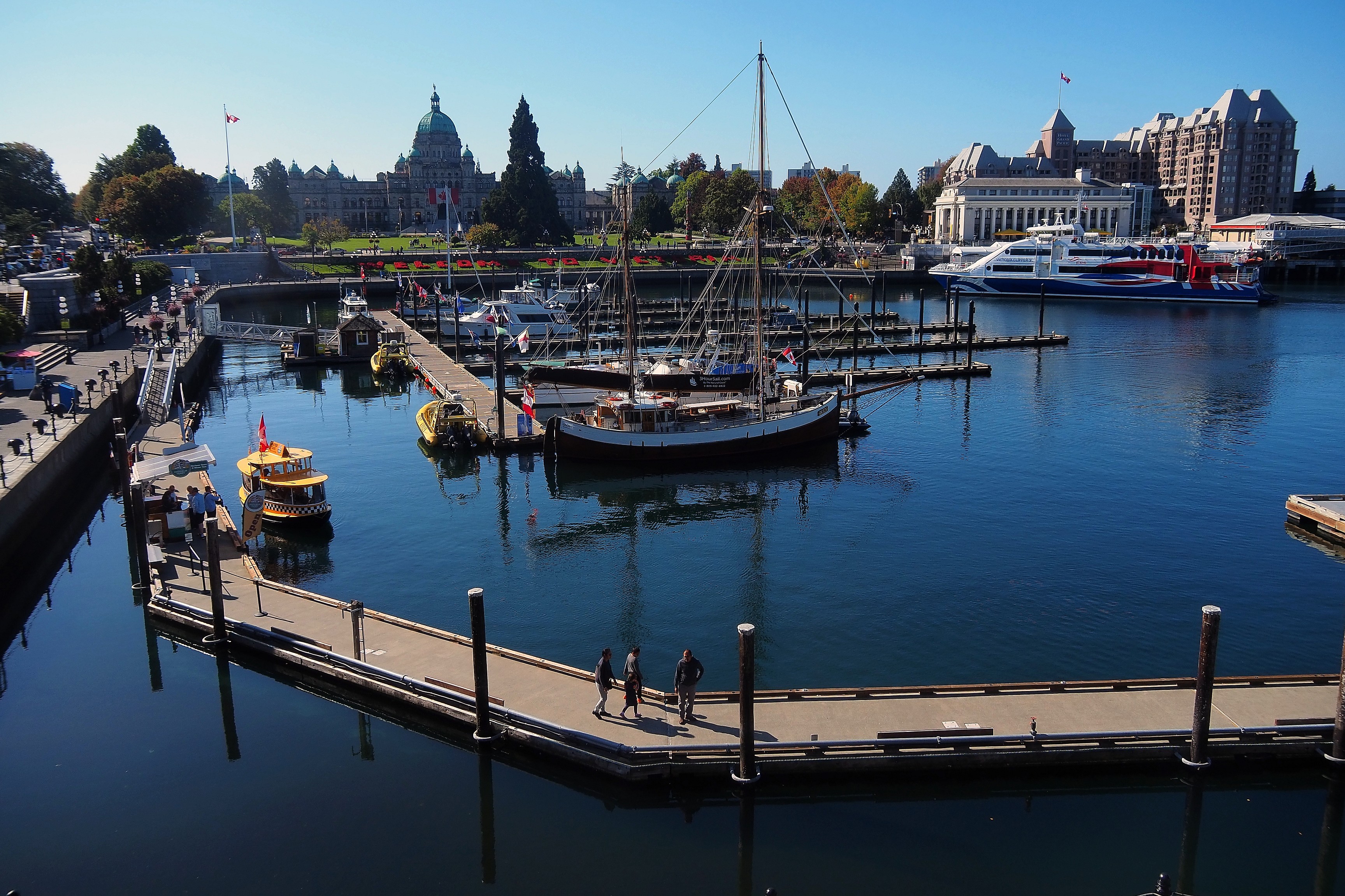
Boats in the Inner Harbour facing the Victoria Parliament buildings.Victoria's Inner Harbour with the British Columbia Parliament buildings and the Fairmont Empress Hotel.

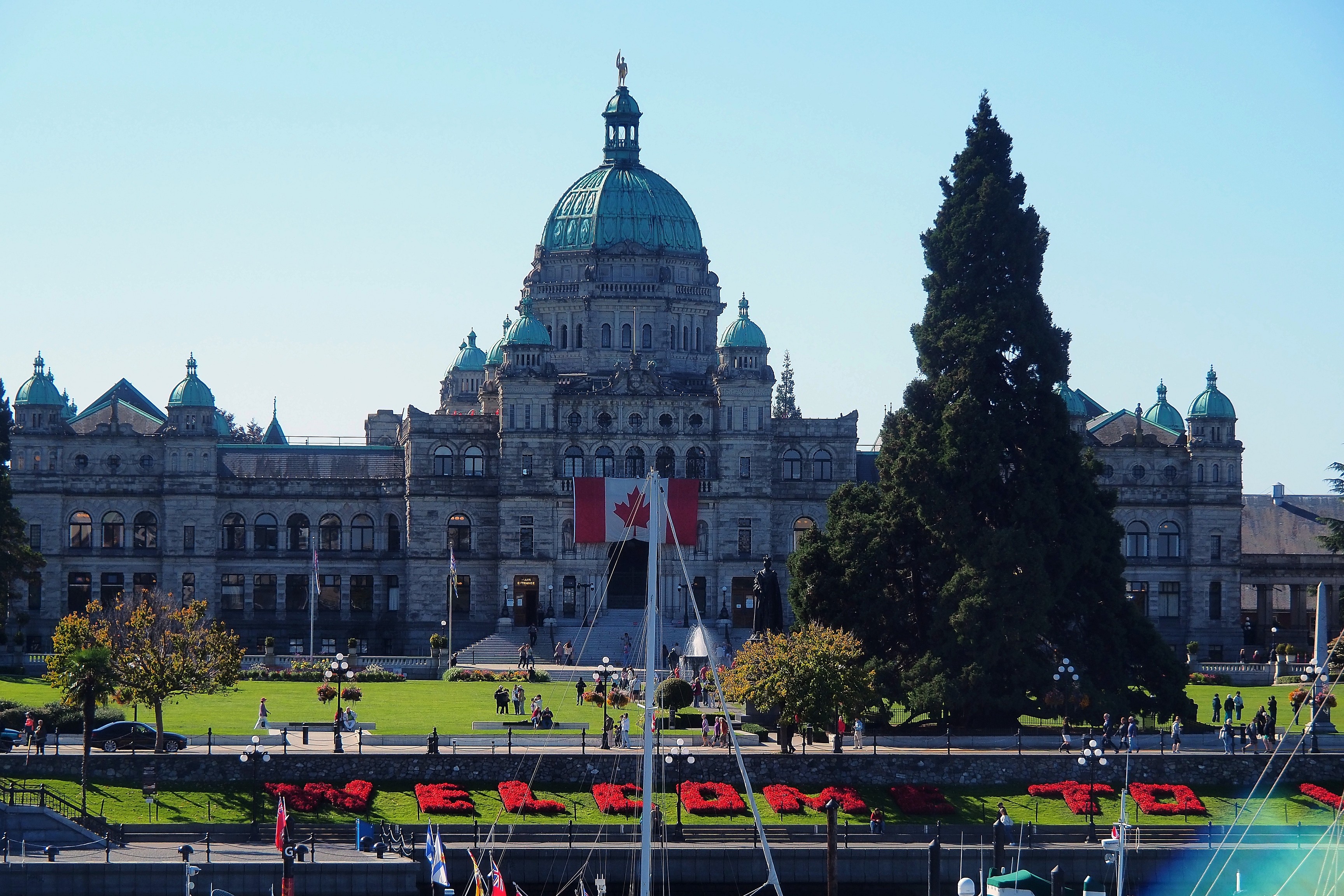
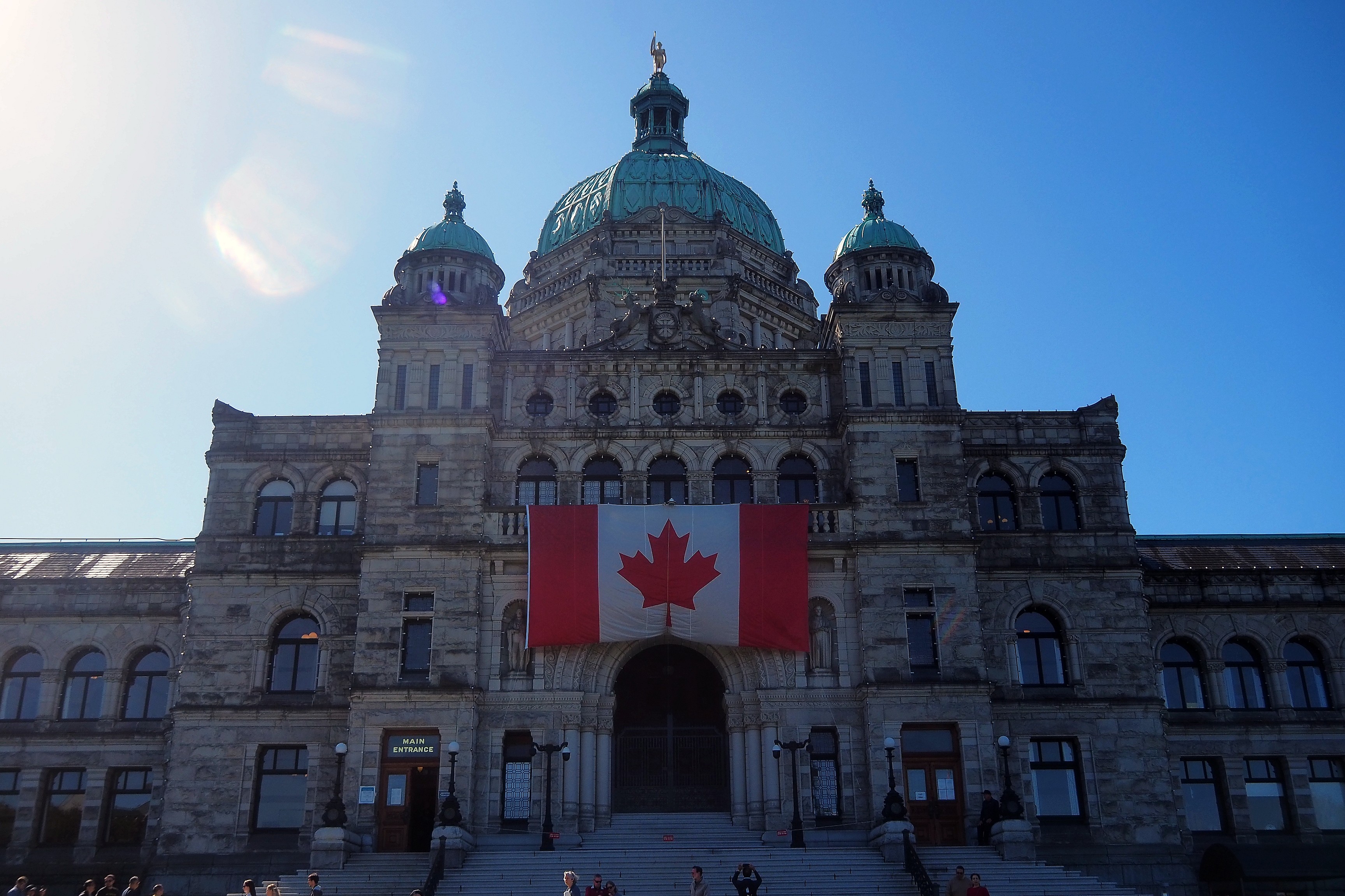
The Parliament of British Columbia is distinguished by its neo-baroque architecture. Inaugurated at the end of the 19th century, this monument is the official seat of the provincial Legislative Assembly. It is here that members of parliament debate and pass the laws that govern the lives of the province's citizens.

British Columbia Parliament Building overlooking Victoria's Inner Harbour.Flag on the facade of the British Columbia Parliament in Victoria.
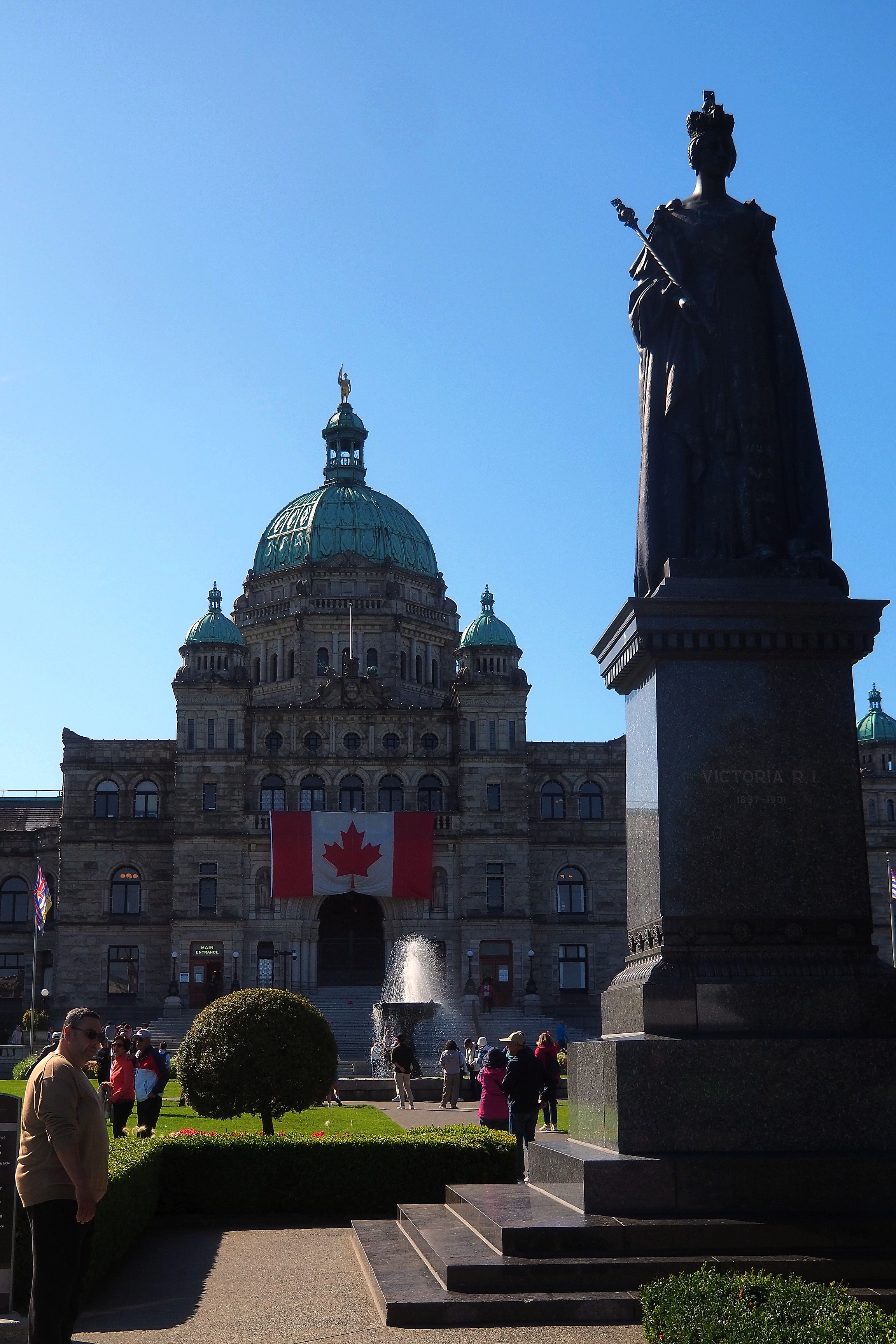
Fountain in front of the Parliament building in Victoria.Statue of Queen Victoria in front of the Parliament building in Victoria.

"Measuring over 30 meters (100 feet) tall, this redwood was planted in the late 1800s. Commonly called Coastal Redwood, this tree grows on average one foot (about 30 cm) per year. It is the official provincial Christmas tree, which is decorated with thousands of lights every year in December."
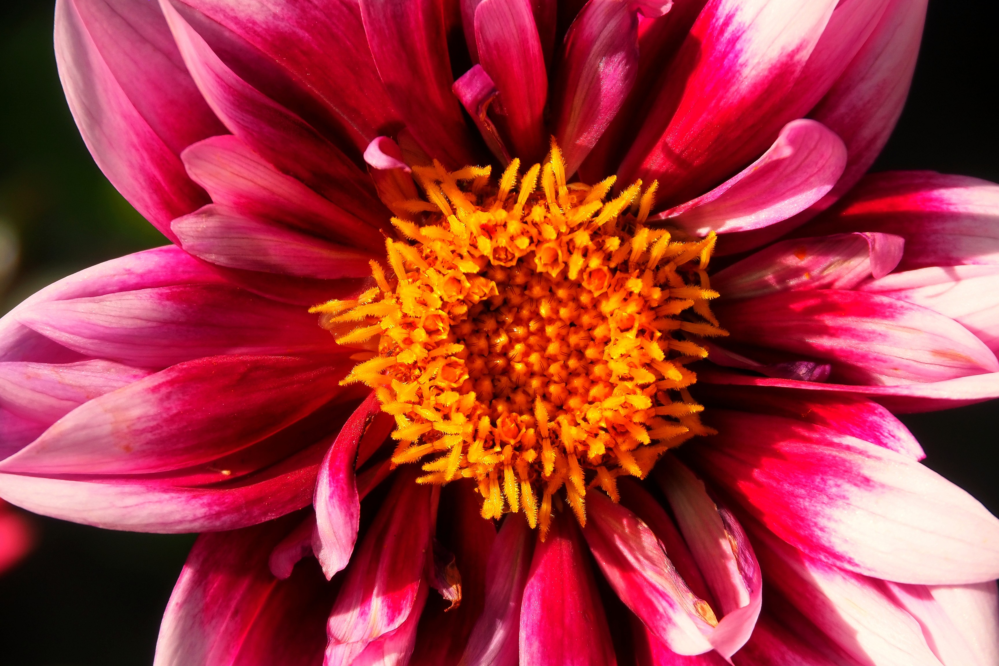
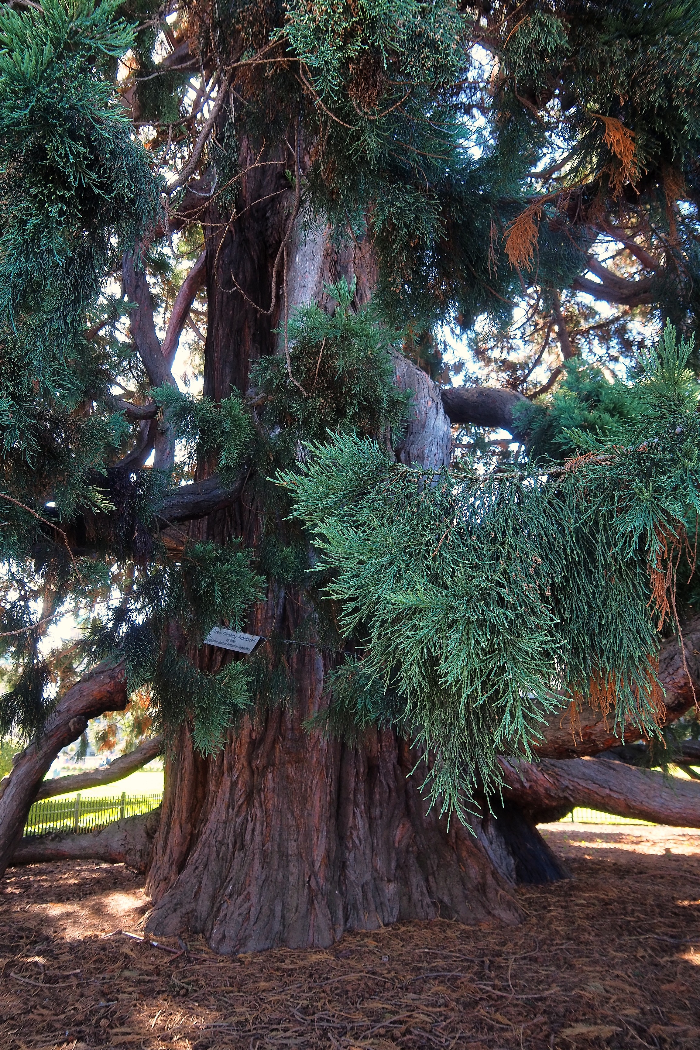
Commemorative plaque for the Giant Sequoia in front of the Parliament buildings in Victoria.Giant sequoia in the Parliament gardens in Victoria.

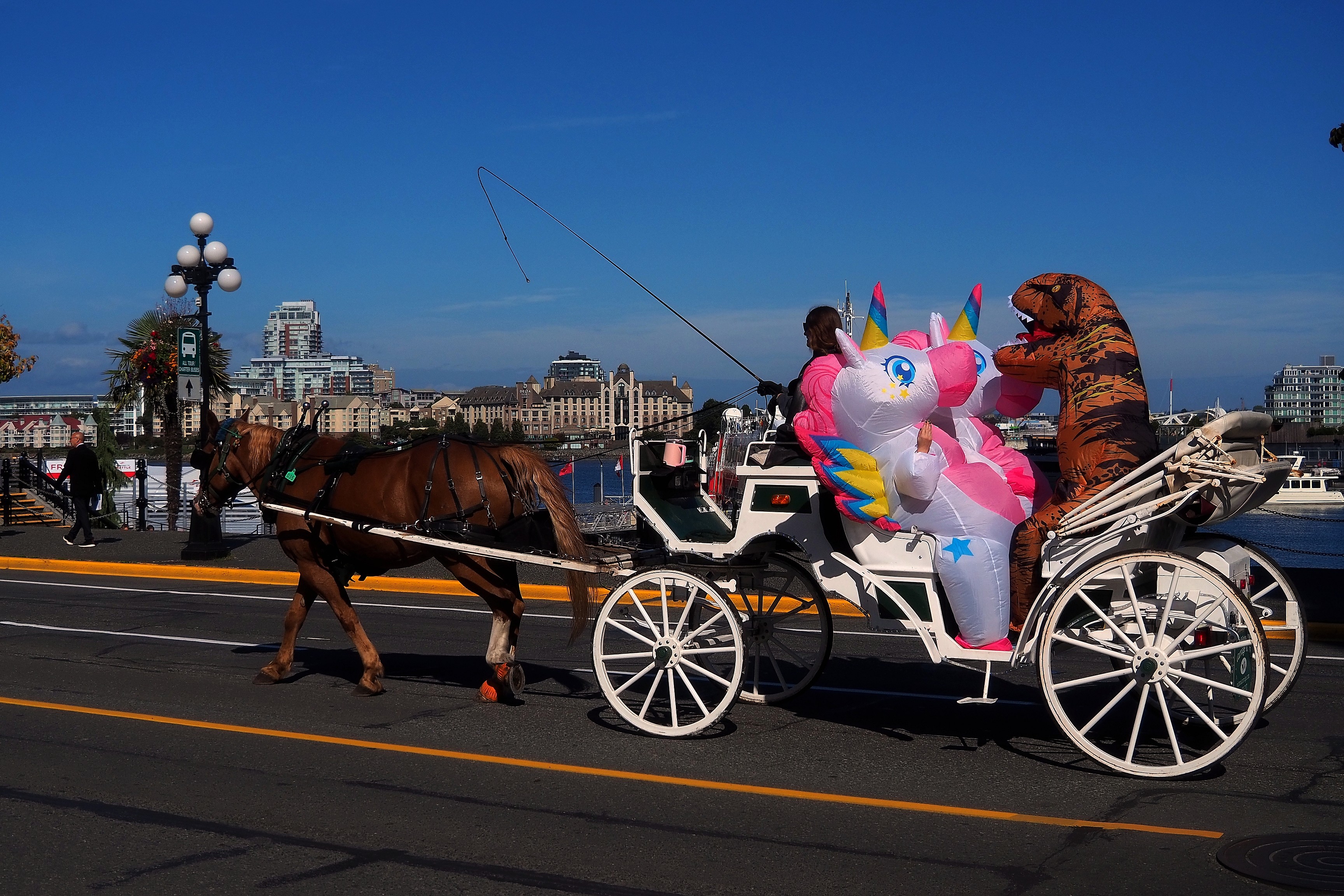
Oh, and if I told you that I saw two unicorns and a dinosaur riding in a horse-drawn carriage in the streets of Victoria, would you believe me?  

Horse-drawn carriage carrying people dressed as a unicorn and a T-Rex on Belleville Street, Victoria.

Nicknamed the Totem of Knowledge, this monument was created by Cicero August and his sons; this traditional work of the Cowichan First Nations celebrates the transmission of knowledge and hope for the future. Its colorful figures, representing the loon, the fisherman, the bone game player, and the frog, embody ancestral teachings.
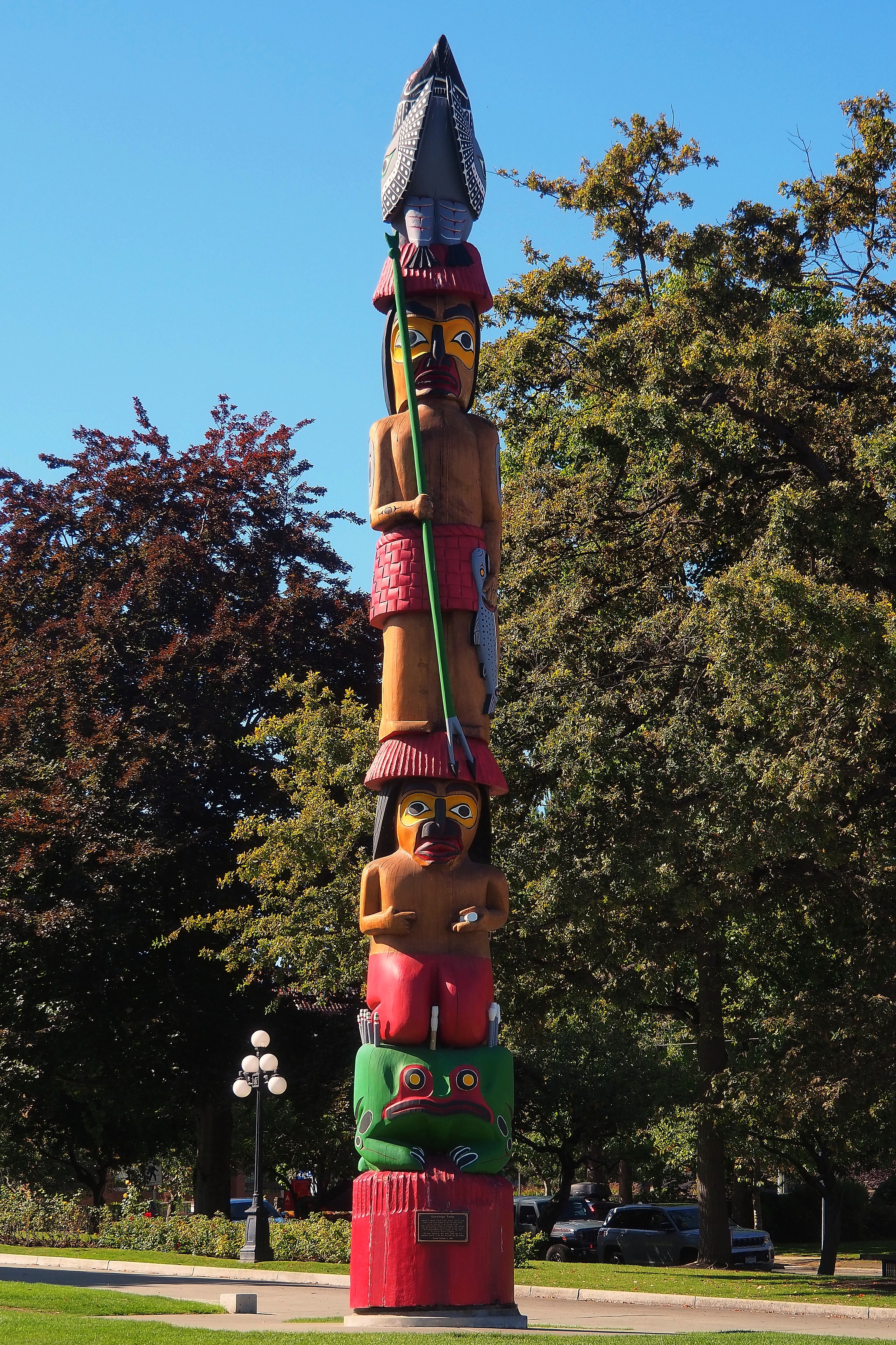
“Knowledge” totem pole carved by Indigenous artist Godfrey Stephens at Thunderbird Park in Victoria.Knowledge totem pole, carved by Cicero, Darrell, and Doug August in Victoria.

To try to find the whales, we are going through the operator Prince of Whales, who will take us by boat with about thirty other tourists.

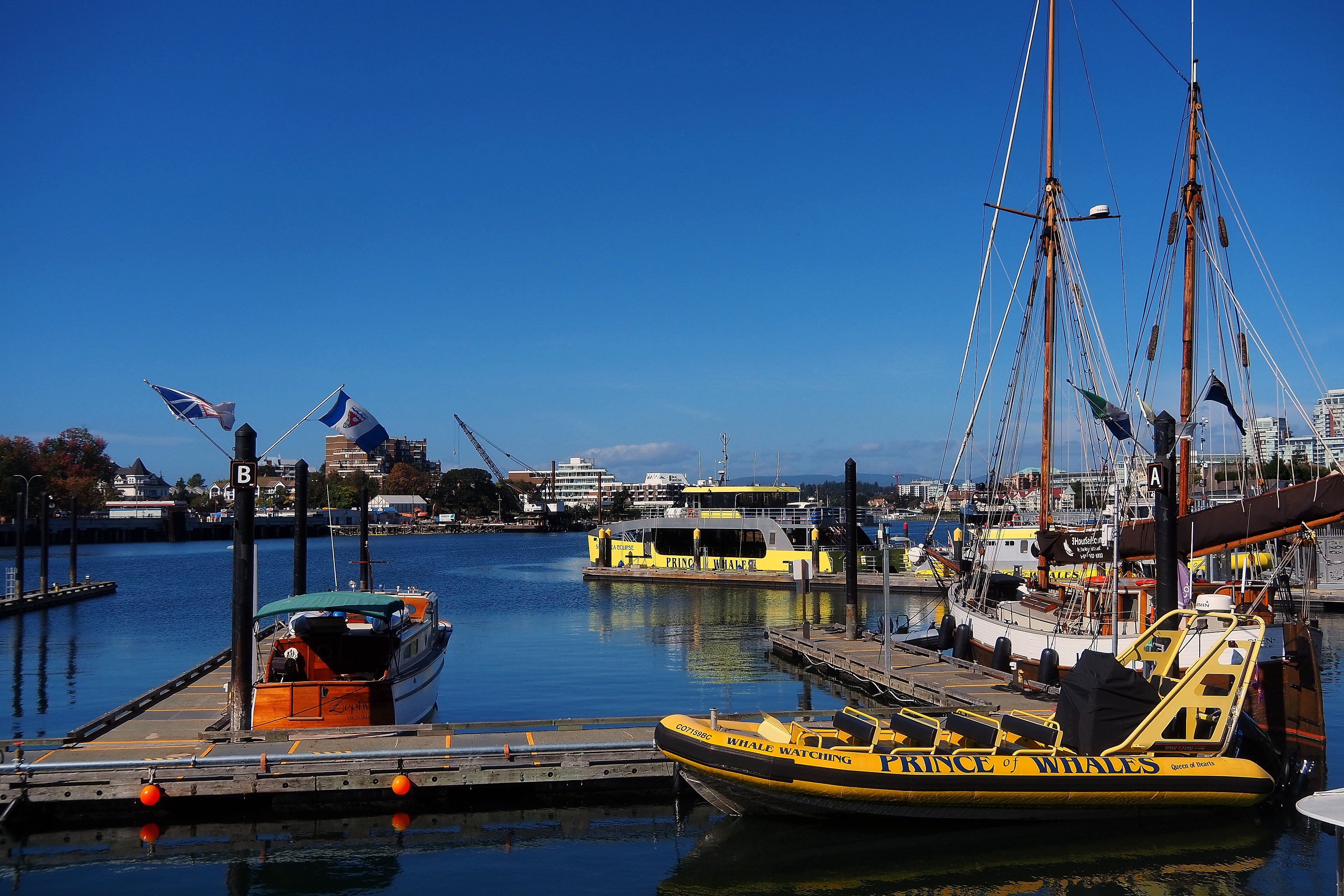
Victoria Ship Point Wharf shops and Fairmont Empress Hotel.Prince of Whales tour boats in Victoria harbour.

The navigation will take us into the Salish Sea, which joins the Pacific Ocean further on.
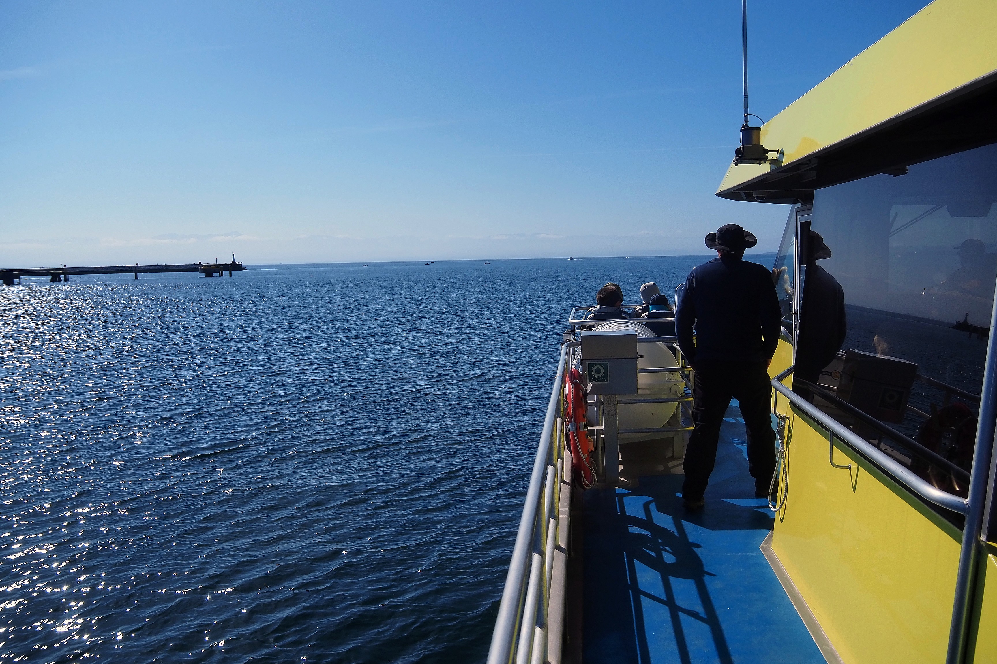
Boat excursion near the Victoria pier.
Helicopter parked on the waterfront of the James Bay neighborhood in Victoria, with residential skyscrapers in the background.Canadian Coast Guard ship Sir Wilfrid Grenfell at James Bay dock, Victoria.

About ten kilometers later, we arrive near the small island of Race Rocks, where sea lions are taking advantage of the rocks to sunbathe.
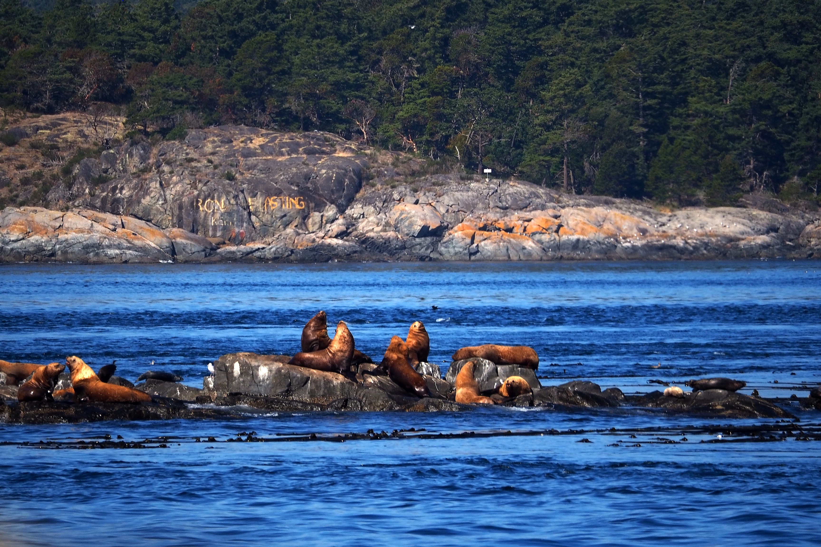
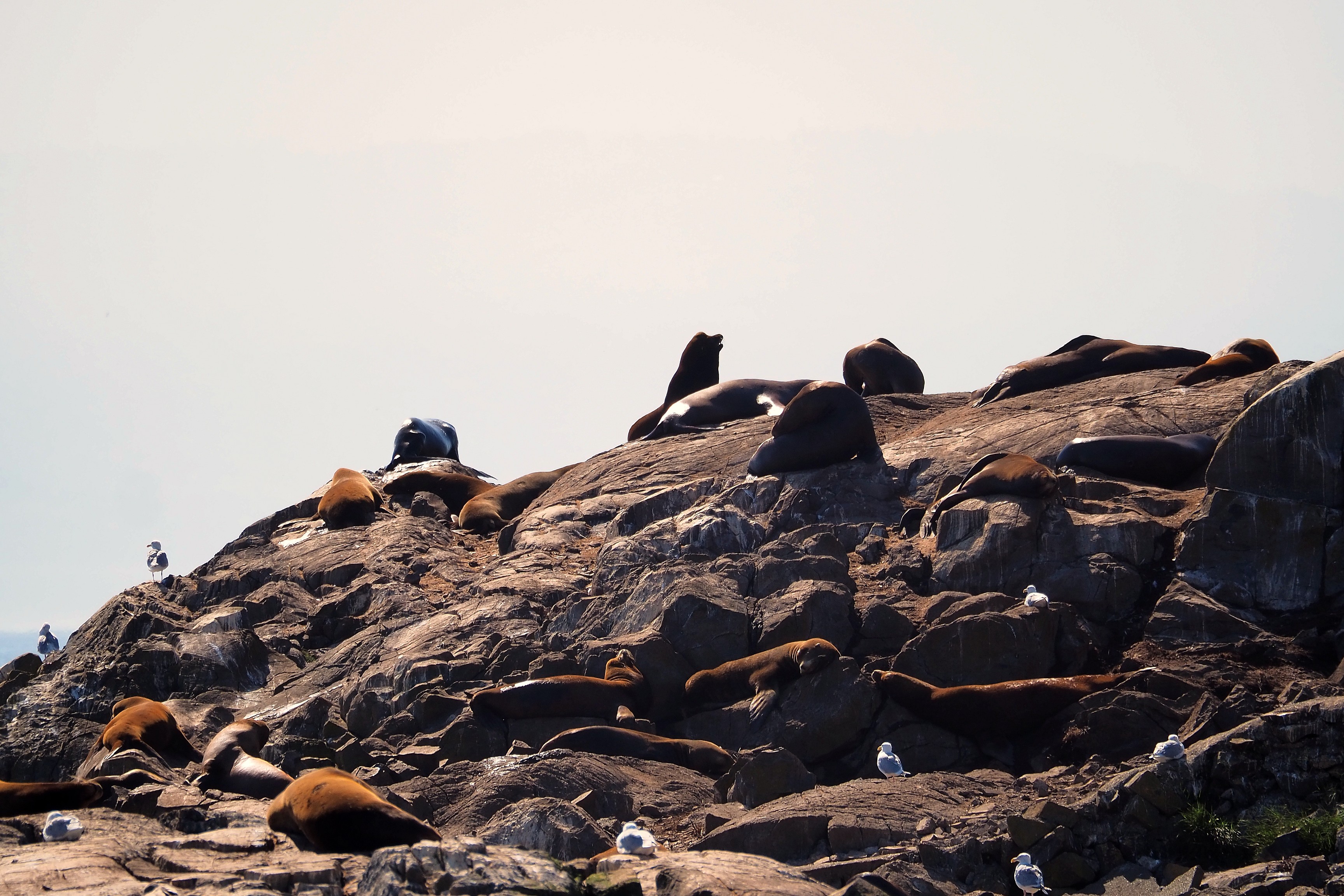
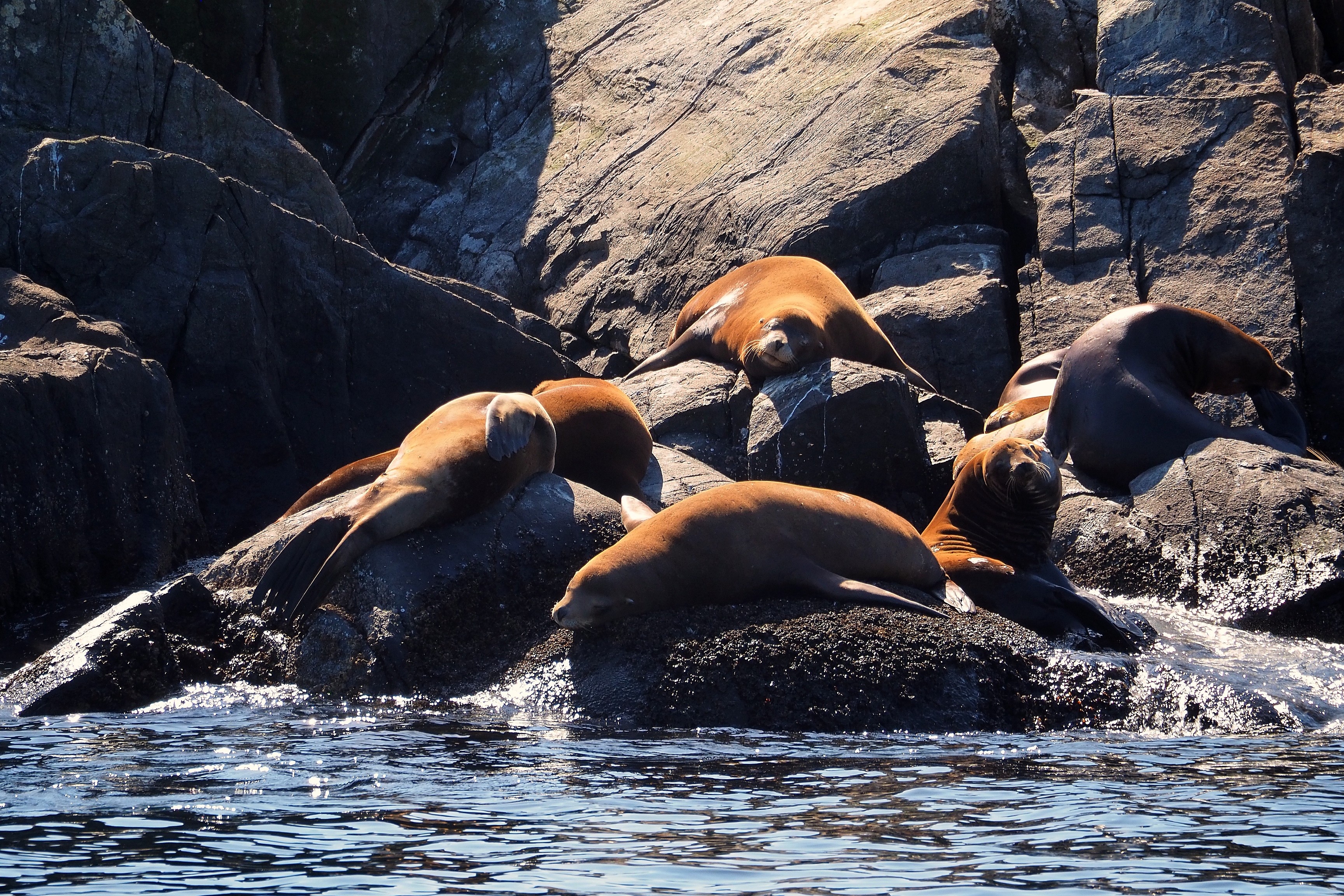
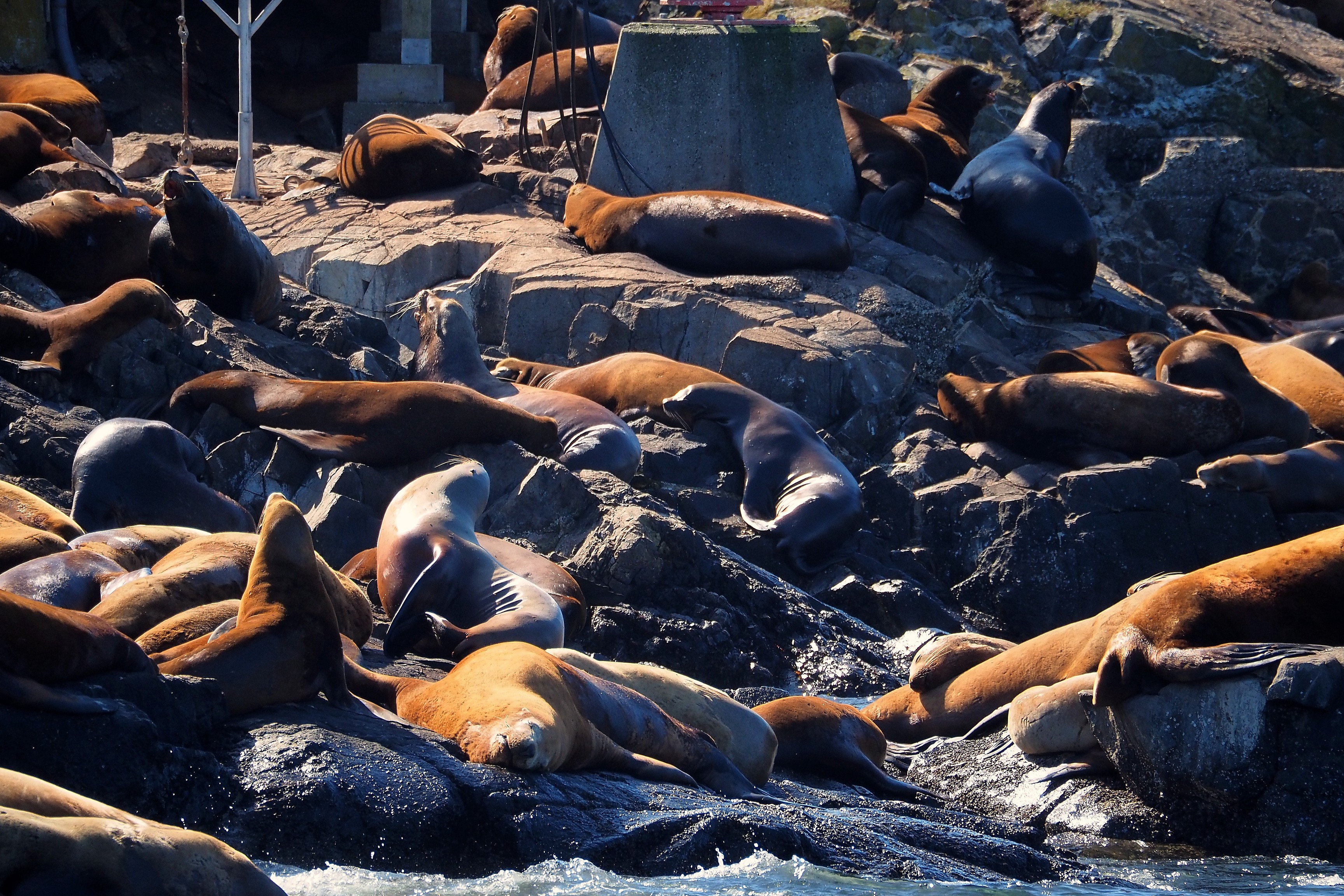
Sea lion colony resting on the rocks of Race Rocks.Sea lion colony on the rocks of the Race Rocks Ecological Reserve.

We see Steller sea lions (Eumetopias jubatus), the largest ones. And California sea lions (Zalophus californianus), the slimmest ones, with golden-brown fur.

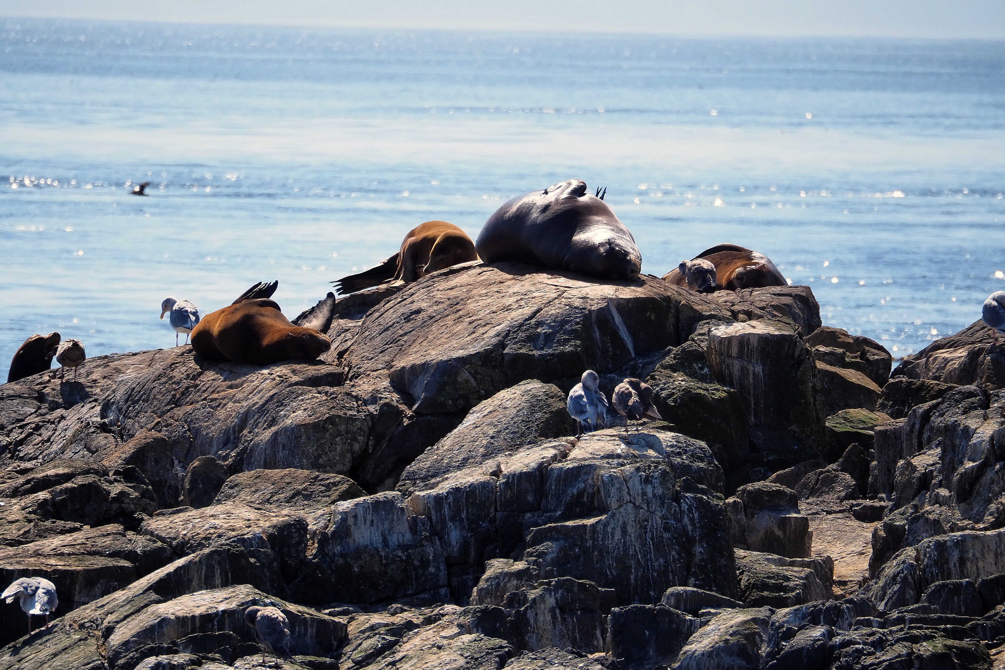
Sea lions and seagulls on the rocks of the Race Rocks Ecological Reserve.Sea lions on the rocks of the Race Rocks Ecological Reserve, in Metchosin.

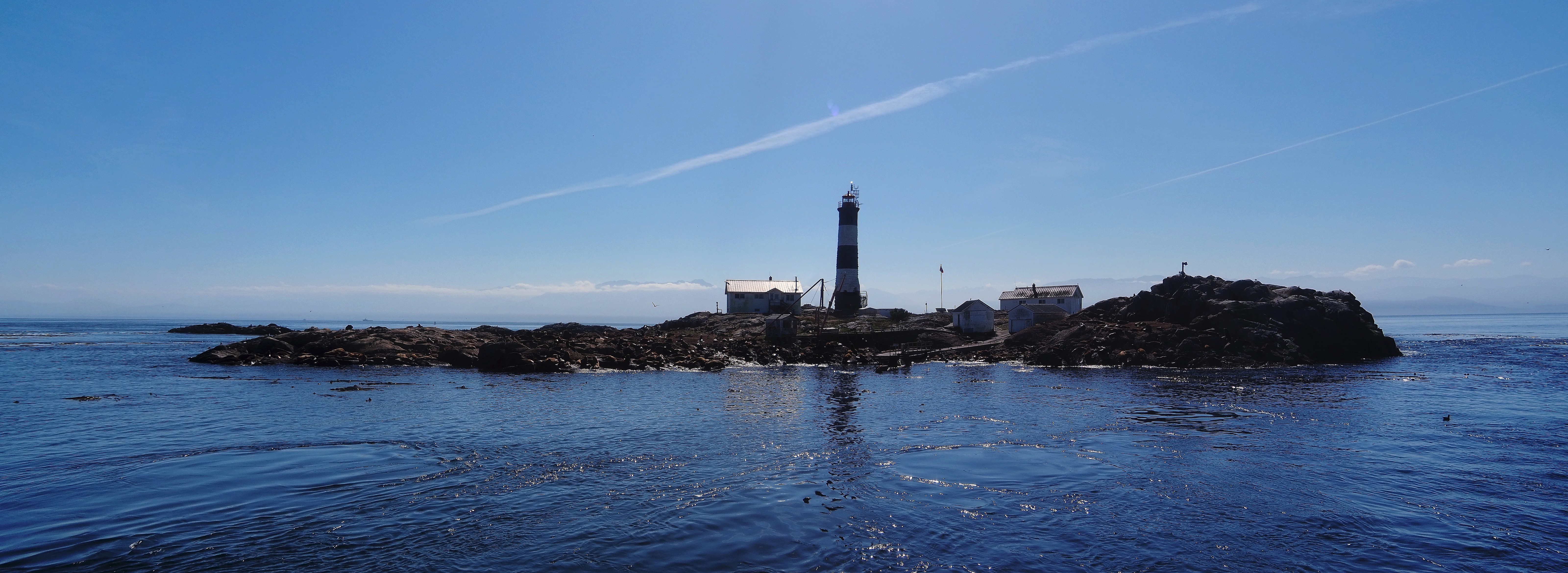
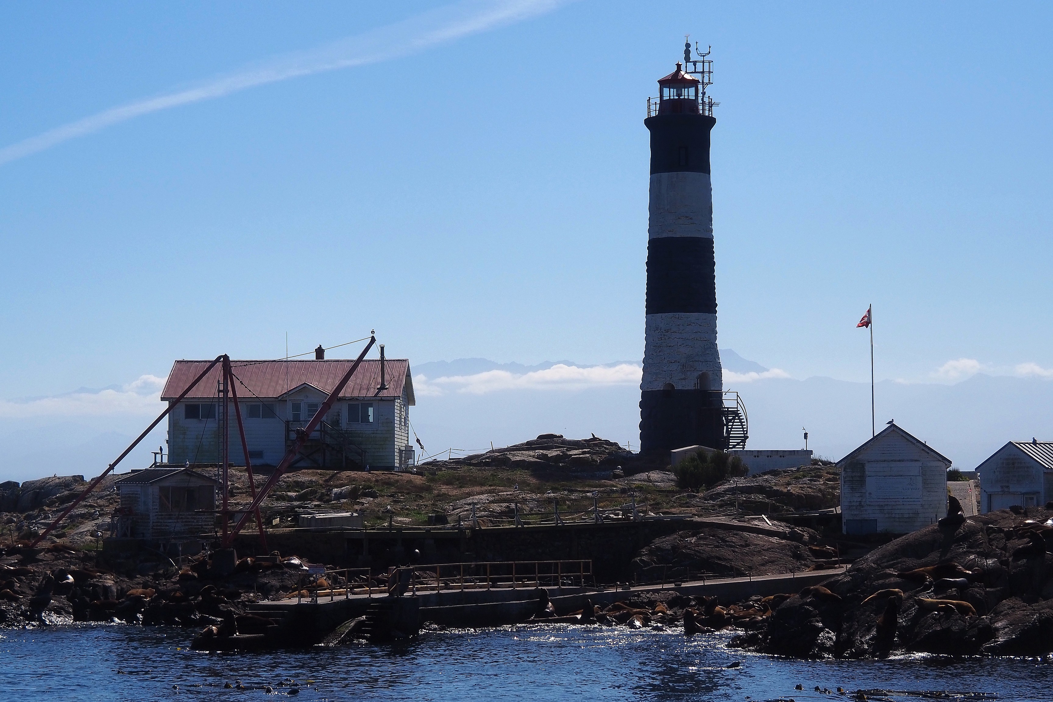
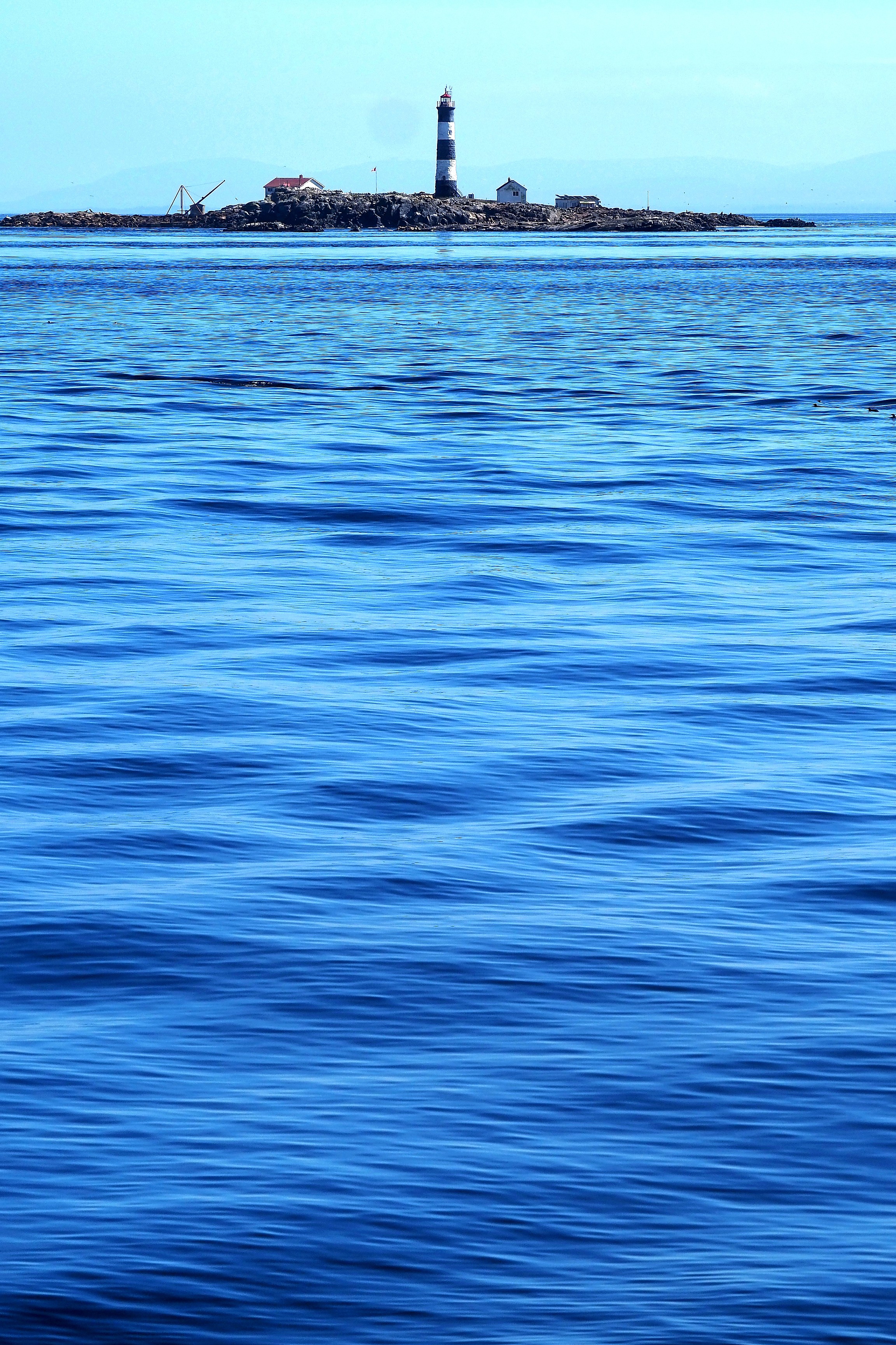
The Race Rocks lighthouse was erected in 1860. Today, the facilities are used for both maritime surveillance and scientific research, allowing for the study of the biodiversity that populates the surroundings.

Race Rocks Lighthouse with a sea lion colony and a view of the Olympic Mountains in the background.Sea lion colony on the rocks of Race Rocks, near the ecological research station.
Sea lion colony on the rocks of the Race Rocks Ecological Reserve.
Sea lion colony on the rocks of Race Rocks.Sea lion colony on the rocks of the Race Rocks Ecological Reserve.Sea lion colony on the rocks of the Race Rocks Ecological Reserve.
Sea lion colony on the rocks of Race Rocks.
Steller sea lion colony sunbathing on the rocks of Race Rocks.Sea lion colony on the rocks of the Race Rocks Ecological Reserve.
Sea lion colony on the rocks of Race Rocks.
Lighthouse and sea lion colony on the rocky islets of Race Rocks.
Race Rocks Lighthouse and sea lion colony with a view of the Olympic Mountains.Lighthouse and keeper's house on the Race Rocks archipelago.
Lighthouse and sea lions on the Race Rocks archipelago.

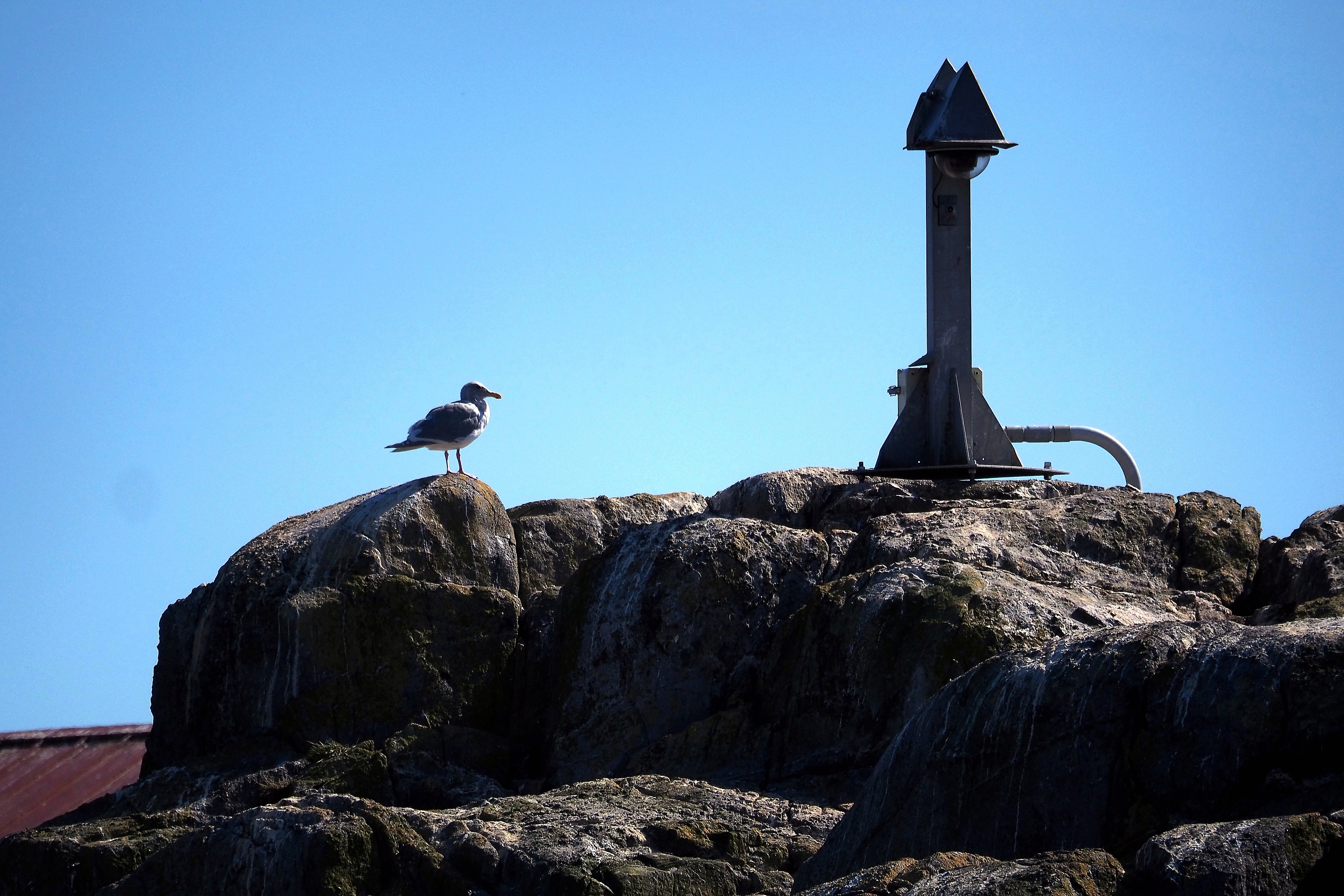
The lighthouse was fully automated in 1997, marking the end of permanent human presence.
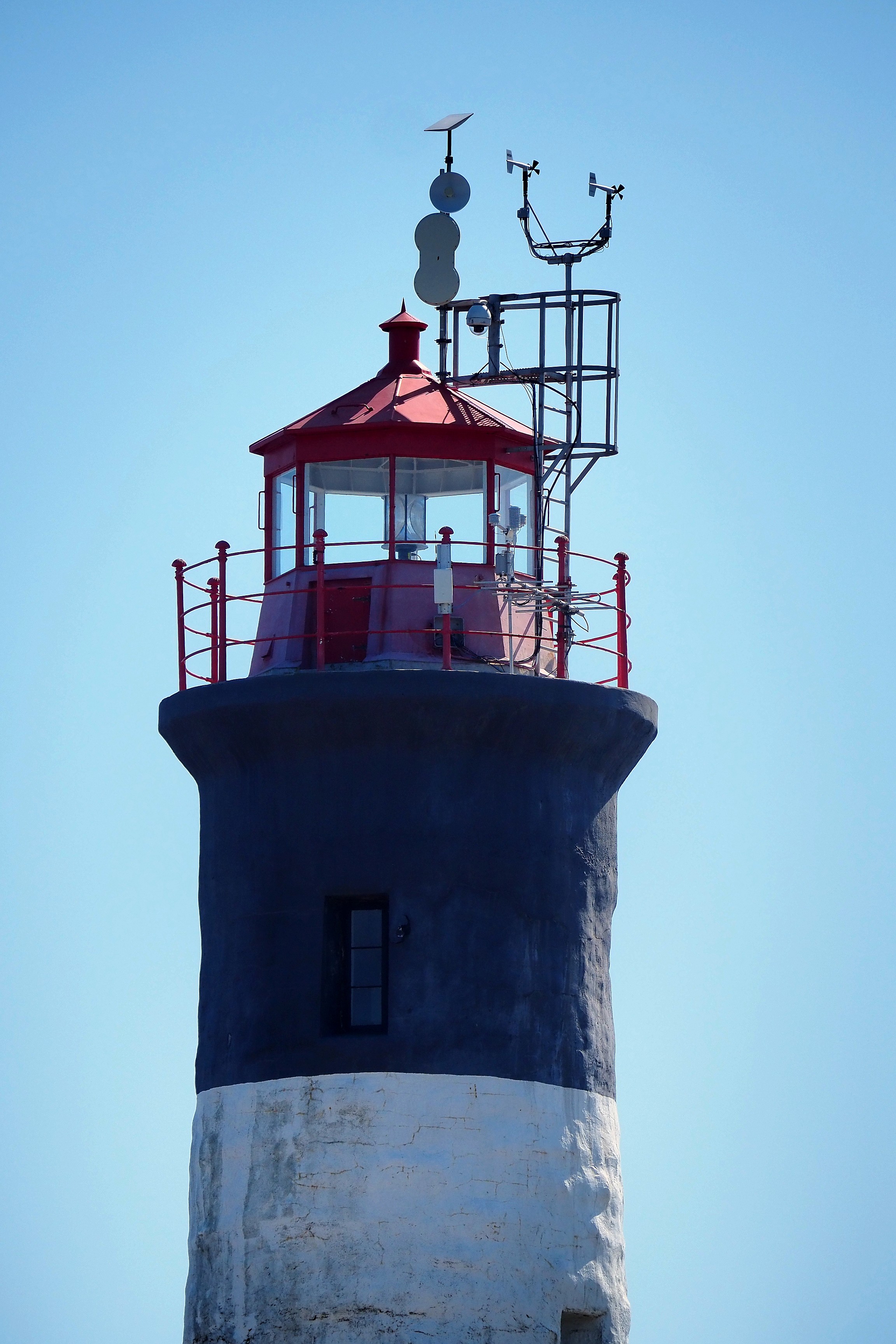
Lantern and weather station of the Race Rocks Lighthouse.Seagull on a rock near a beacon at Race Rocks.
Lighthouse and keeper's house on Race Rocks island with a sea lion colony.

Smaller boats, to be closer to the large mammals that for now are hiding well underwater...  
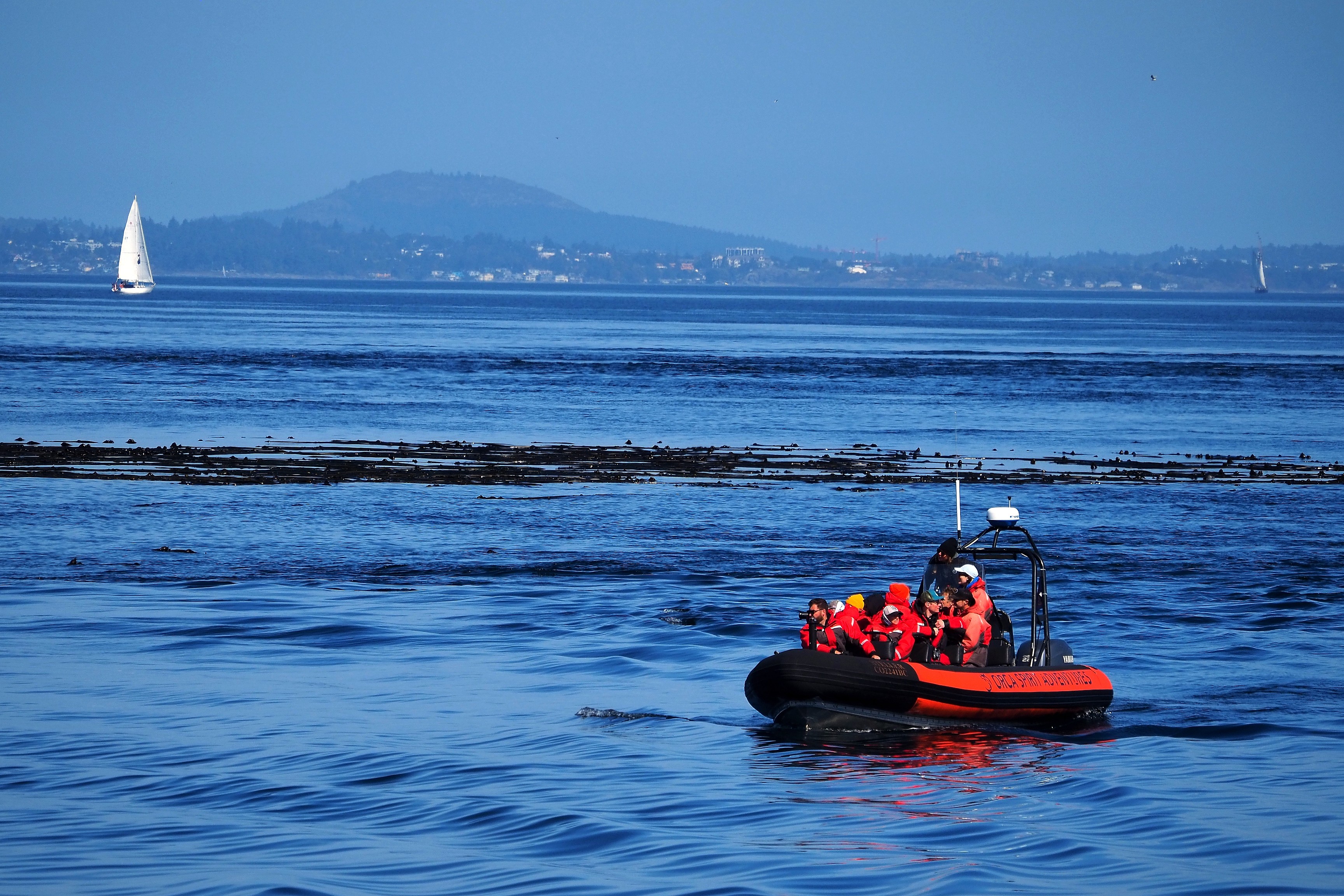
Observation Zodiac near the Race Rocks Ecological Reserve with a sailboat in the background.Orca Spirit Adventures Zodiac in the Race Rocks Ecological Reserve.
Lighthouse and keeper's house on the Race Rocks archipelago, sea lion colony.

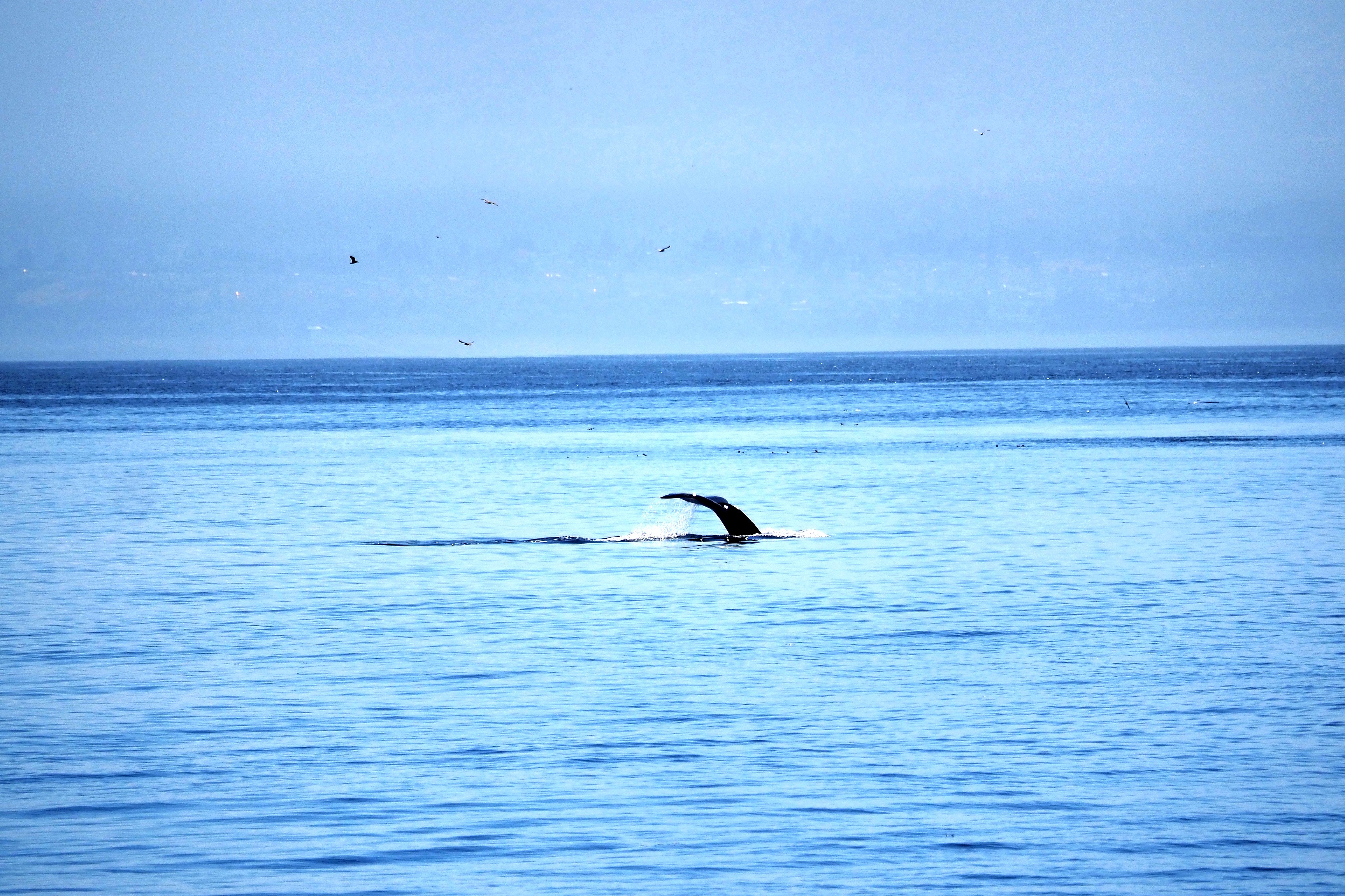
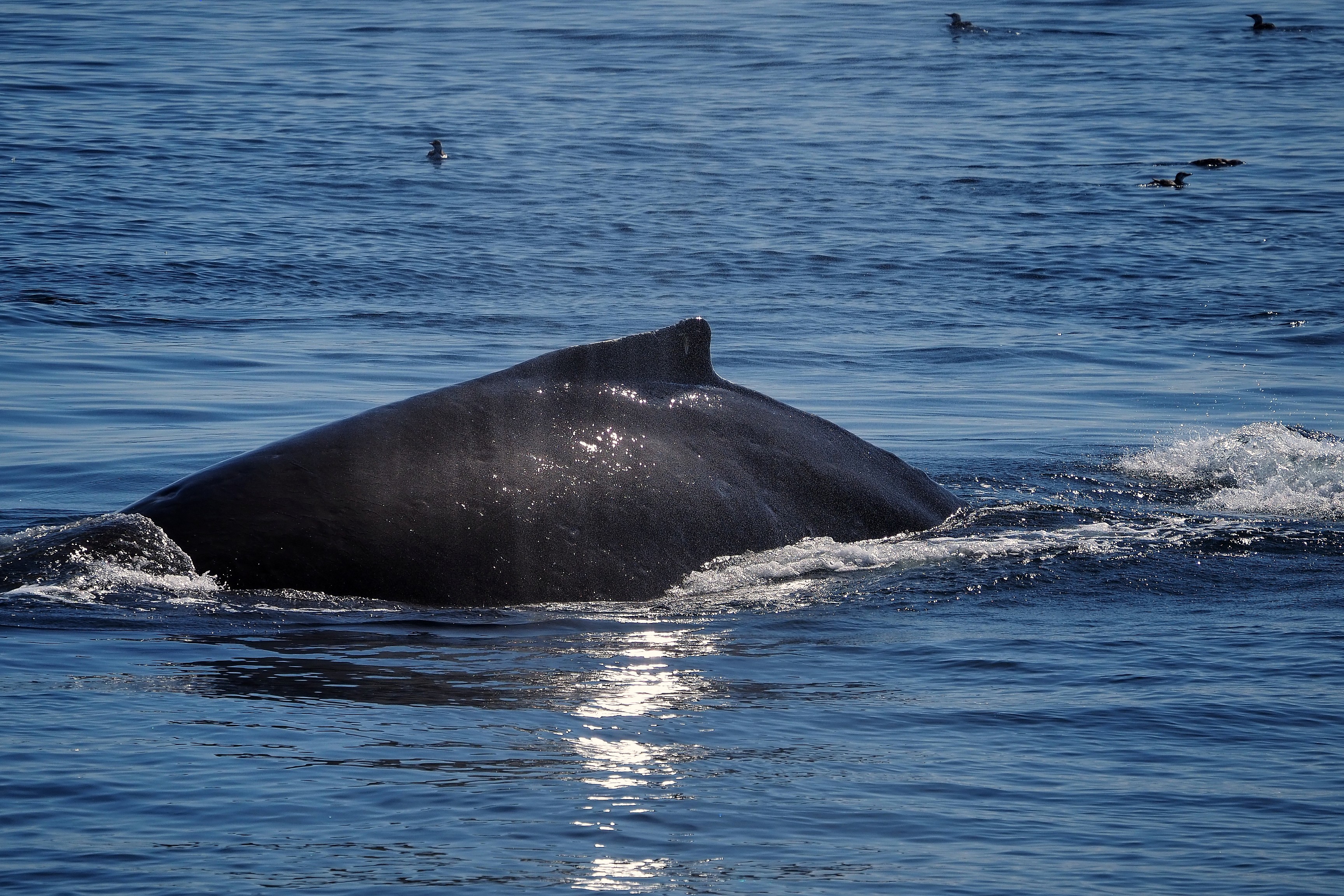
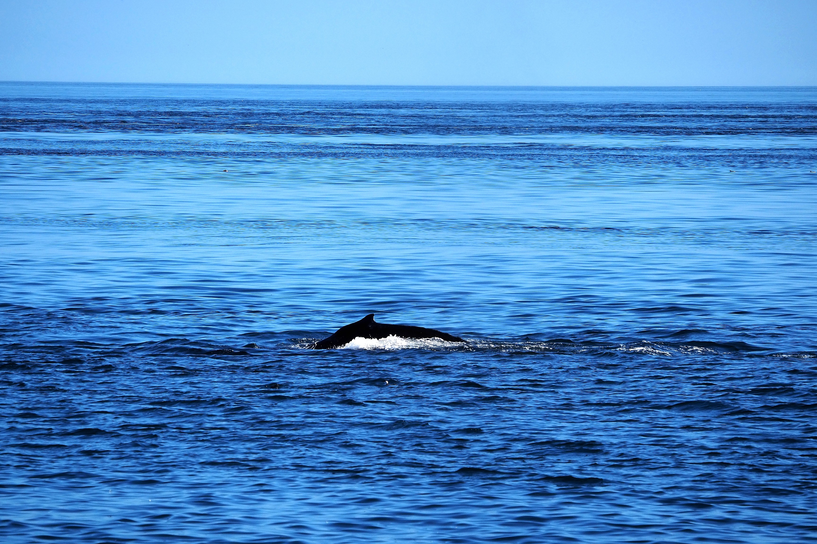
Ha! Here is the object of our navigation! At least some parts of it... In this case, the back and tail of a humpback whale (Megaptera novaeangliae).  

Back and blow of a humpback whale off the Strait of Juan de Fuca.Humpback whale tail diving in the Strait of Juan de Fuca.
Back and blow of a humpback whale in the Strait of Juan de Fuca.Humpback whale tail in the Strait of Juan de Fuca.

The humpback cetacean is capable of holding its breath for 5 to 15 minutes while foraging for food. It can extend its dive up to 45 minutes when at rest.  

Humpback whale back in the Strait of Juan de Fuca.Humpback whale back in the Strait of Juan de Fuca.
Back and dorsal fin of a humpback whale in the Strait of Juan de Fuca.

The mountains seen in the distance are in the United States. The border passes through the middle of the Salish Sea.

Puget Sound Express boat off Metchosin, with the Olympic Mountains in the background.Lighthouse and sea lions on the Race Rocks archipelago in the Strait of Juan de Fuca.
Back and dorsal fin of a whale in the Pacific Ocean off Metchosin.
Seabirds off Metchosin with a view of the city of Victoria.
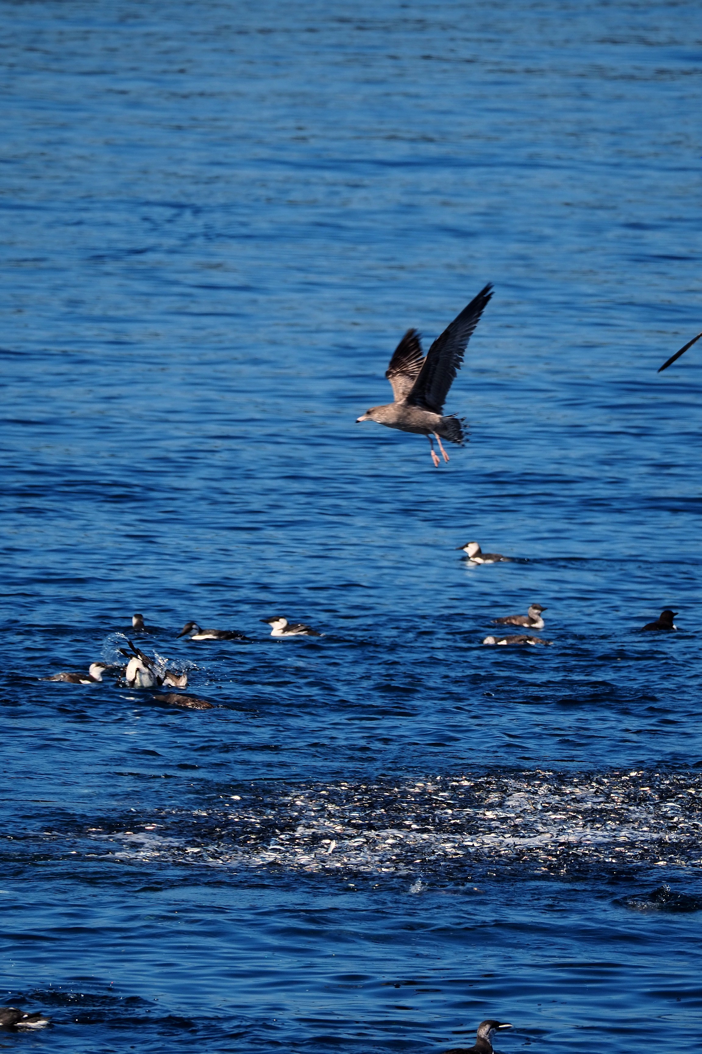
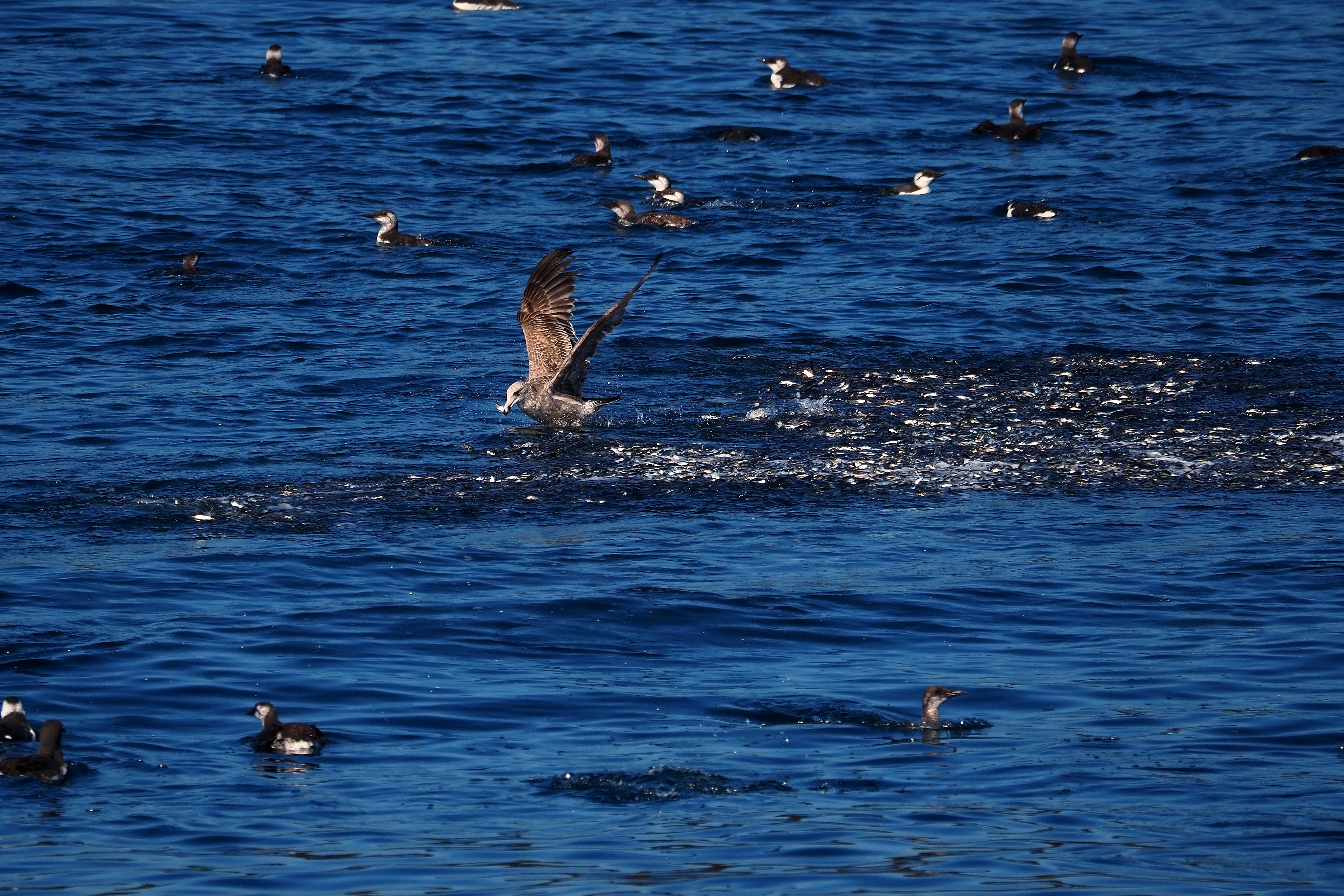
Group of guillemots hunting in the Strait of Juan de Fuca.Seagull and guillemots feeding on a school of fish in the Strait of Juan de Fuca.Seagull fishing in a school of fish on the Strait of Juan de Fuca.
Race Rocks Lighthouse in Metchosin, with sea lions and mountains in the background.Race Rocks Lighthouse in the Strait of Juan de Fuca.
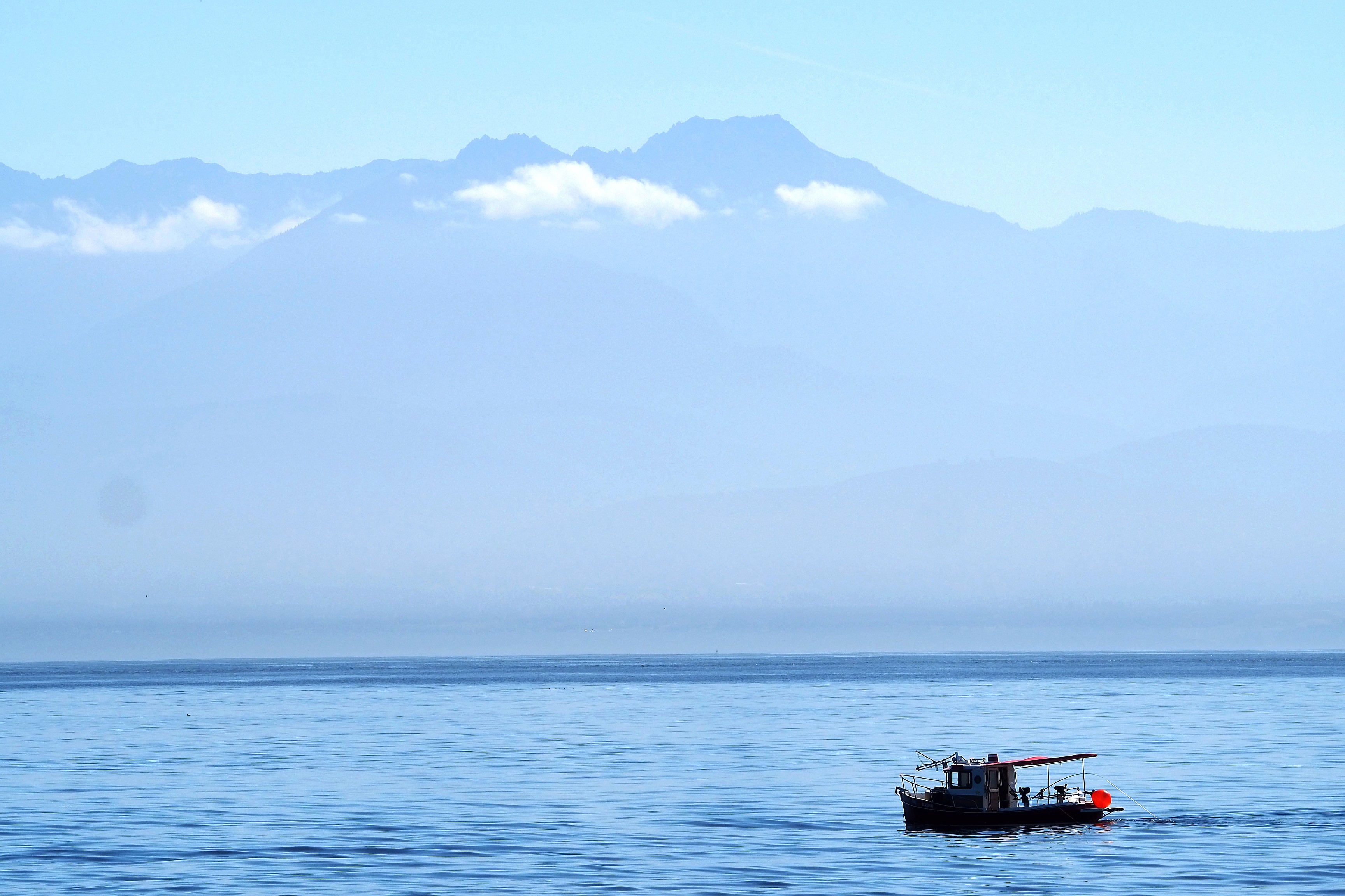
Fishing boat on the Strait of Juan de Fuca with the Olympic Mountains in the background.Cargo ships in the Strait of Juan de Fuca facing the Olympic Mountains, seen from Metchosin.
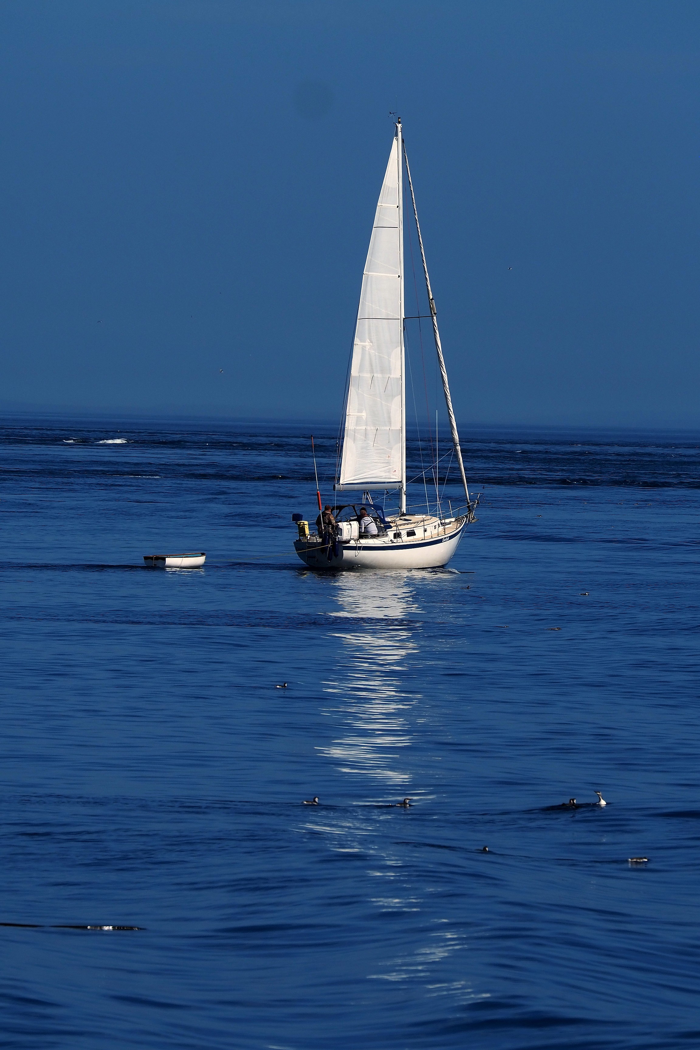
Sailboat on the calm waters of the Strait of Juan de Fuca.Tourists aboard the observation ship Red Head off Metchosin, with a cargo ship in the background.
Stilt houses and rocky coast bordered by forest along the Juan de Fuca trail.Colorful houses on the rocky shores of East Sooke.
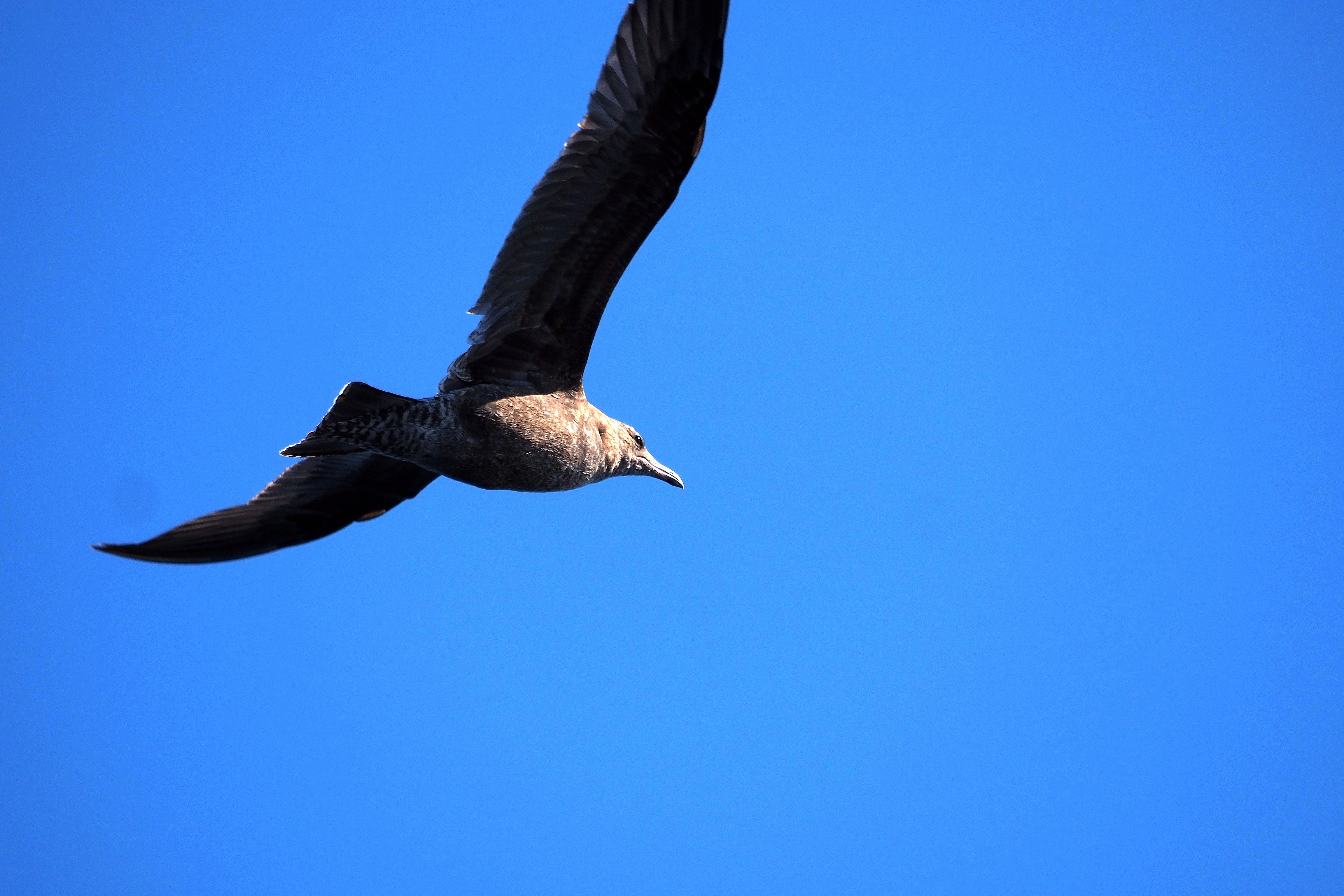
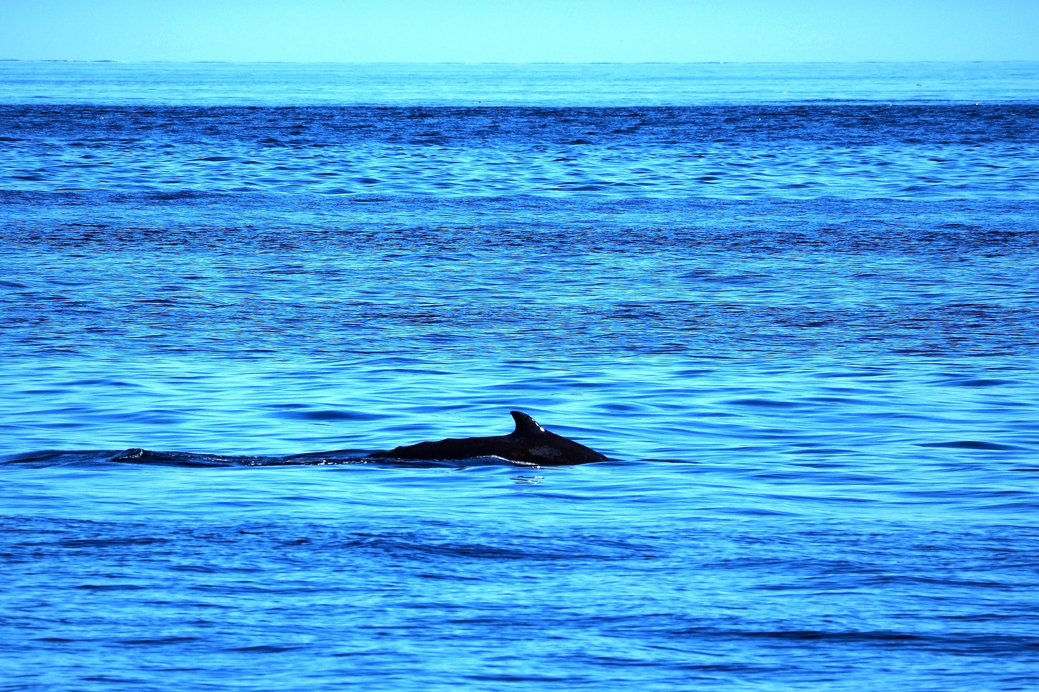
Seagull in flight over the Strait of Juan de Fuca.Dolphin dorsal fin on the surface of the Strait of Juan de Fuca.

Return to the port of Victoria where the huge cruise ship Caribbean Princess is moored as a floating hotel with its current tourists.
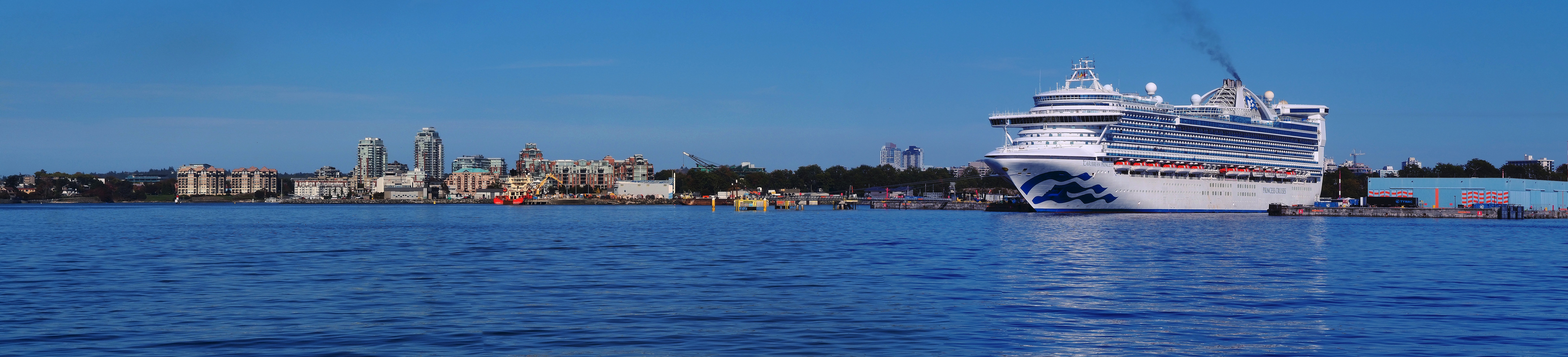
Caribbean Princess cruise ship at the port of Victoria.
Victoria waterfront seen from Esquimalt.

The Caribbean Princess was put into service in 2004. 290 meters long, this true floating seaside resort can accommodate more than 3100 passengers on its 17 decks, regularly sailing from the Caribbean to the waters of Alaska.
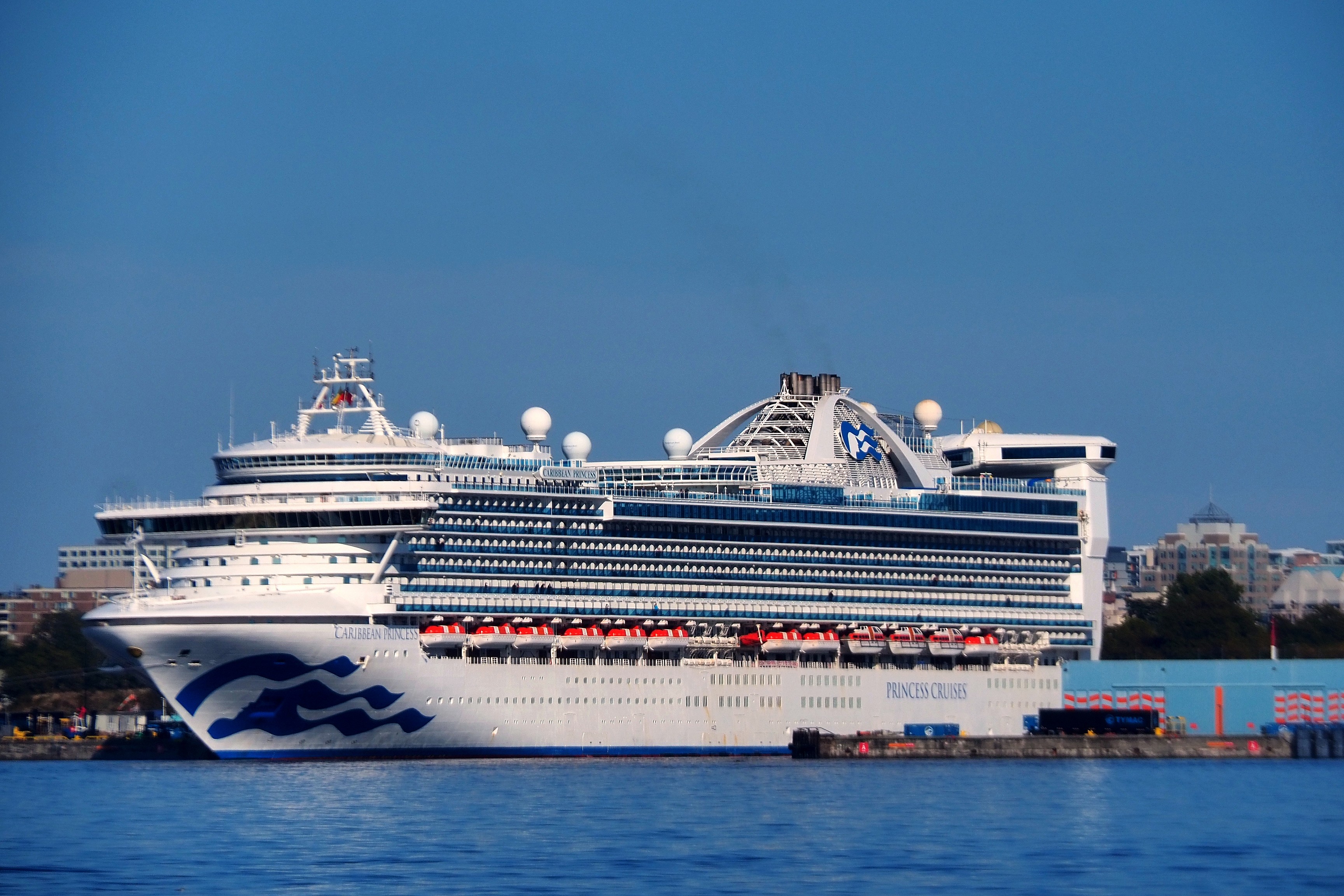
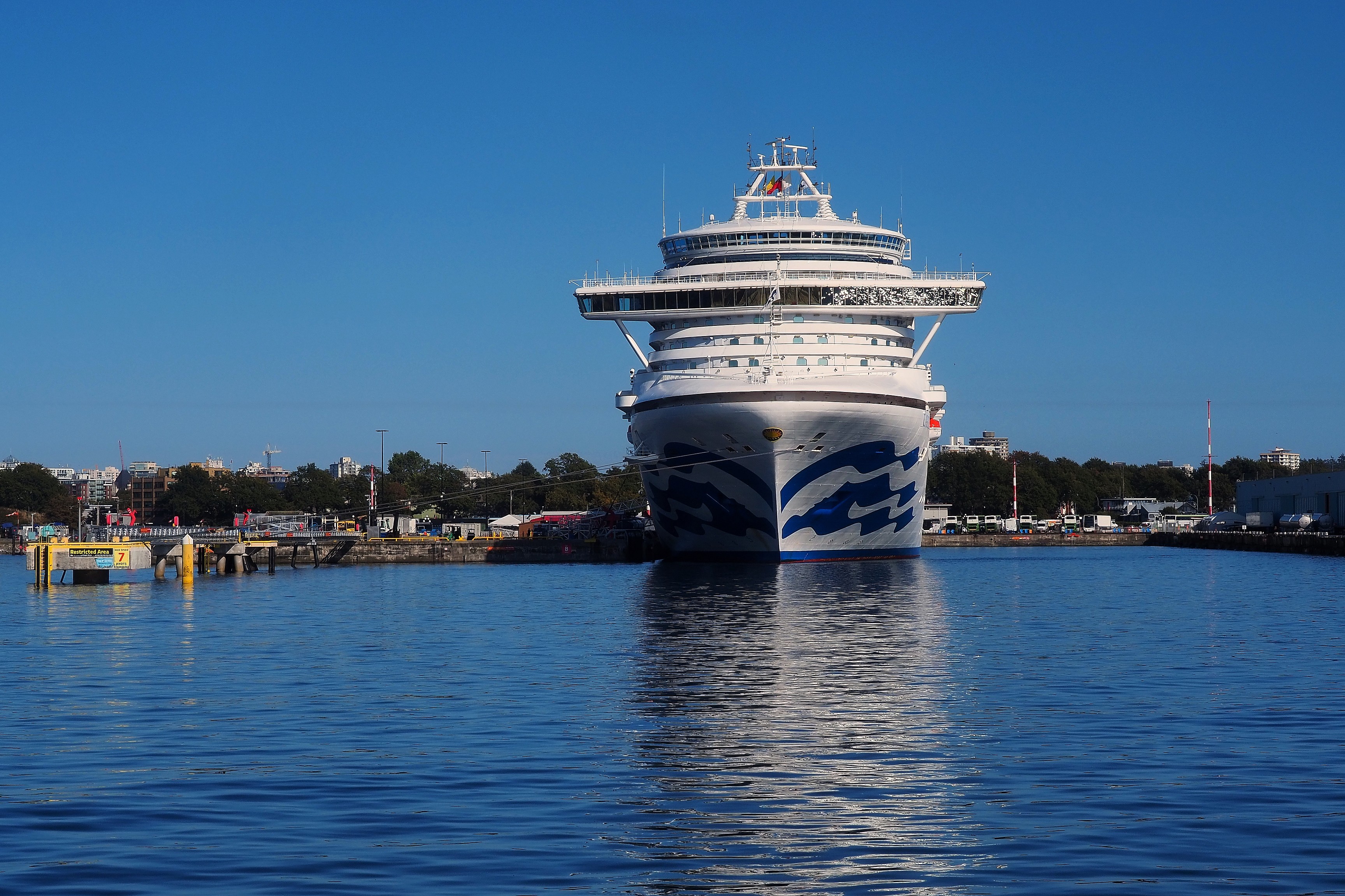
Caribbean Princess cruise ship at the port of Victoria.Bow of the Princess Cruises ship at the port of Victoria.

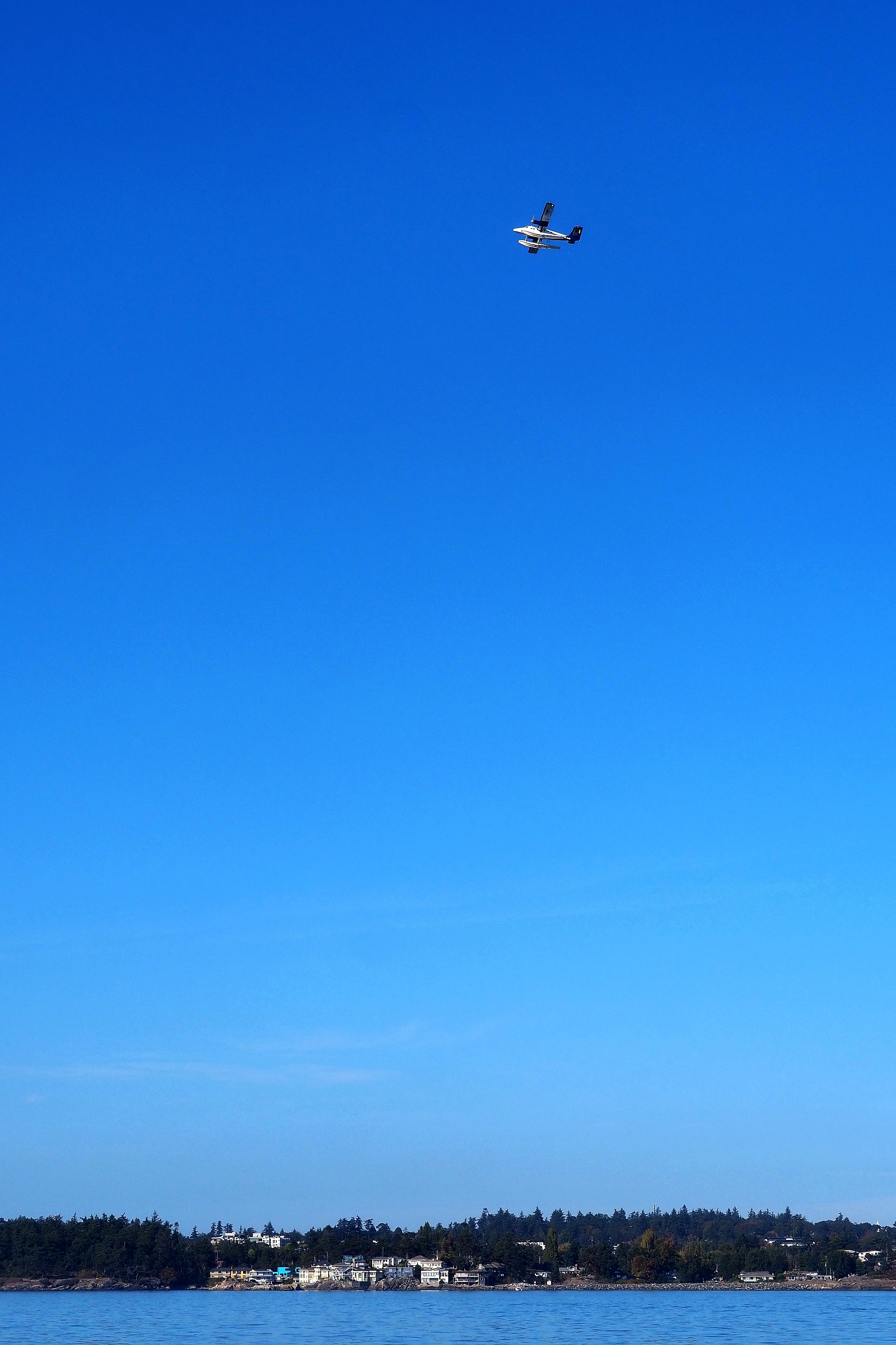
A seaplane begins its descent. These aircraft are an iconic mode of transport in the region.
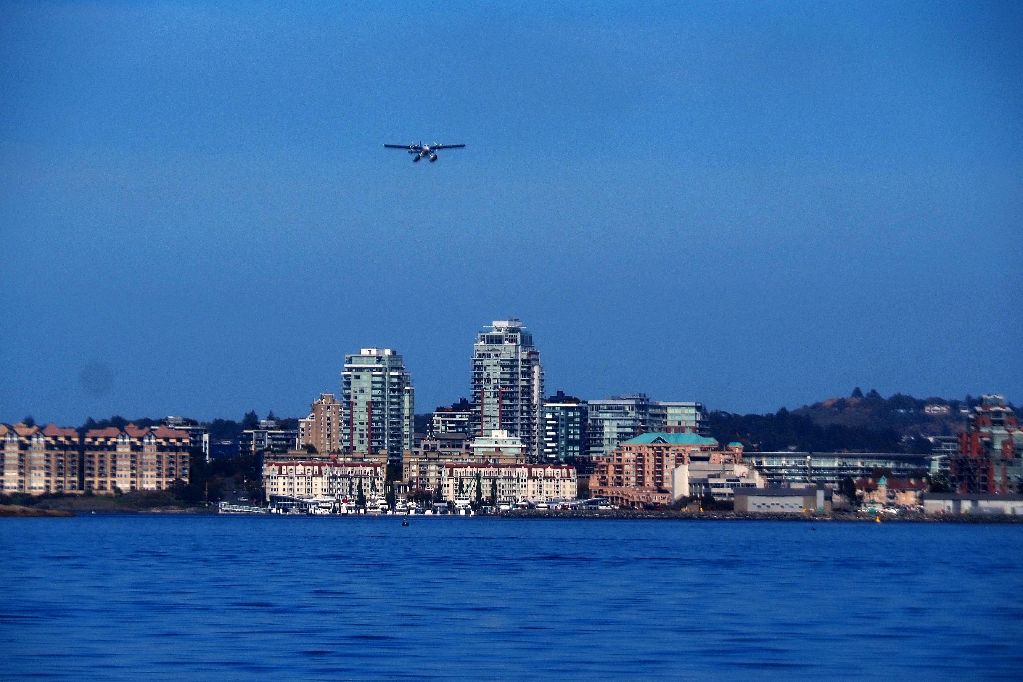
Seaplane over the Nanaimo waterfront and its urban skyline.Seaplane in flight over the Strait of Juan de Fuca and the wooded coast.
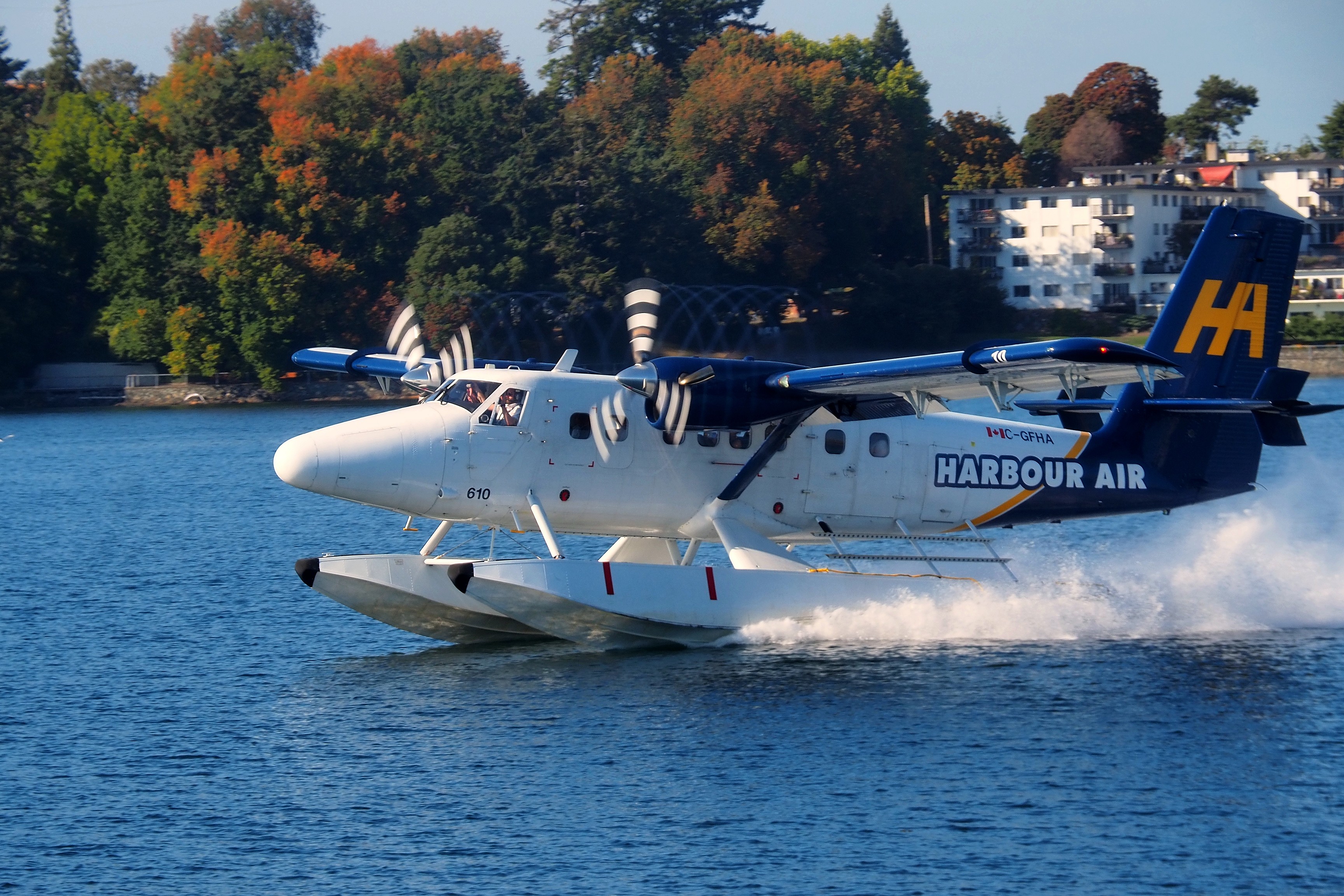
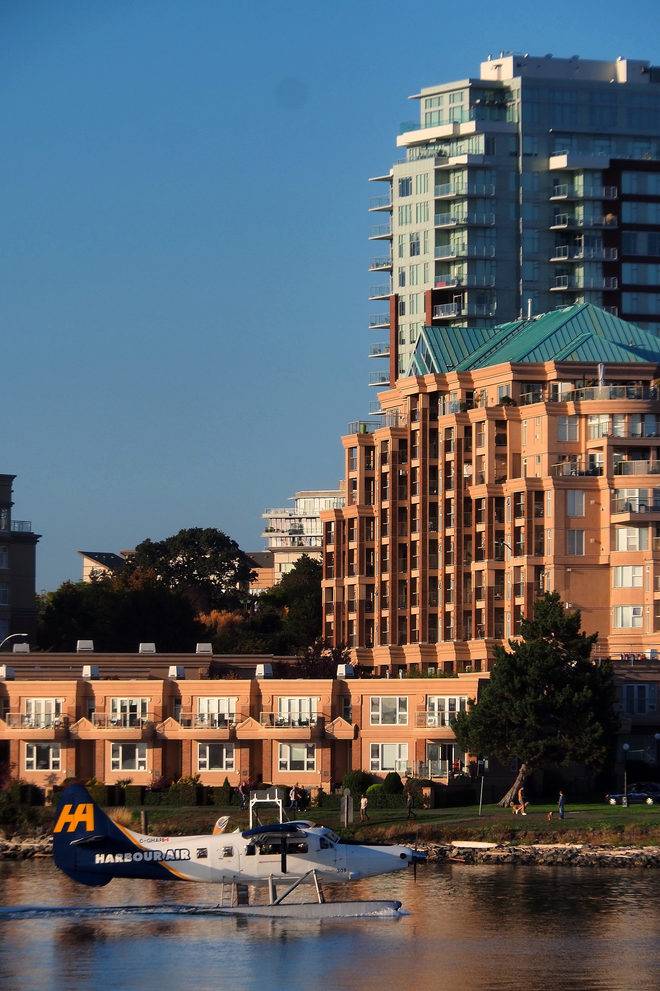
Takeoff of a Harbour Air DHC-6 Twin Otter seaplane in Victoria Harbour.
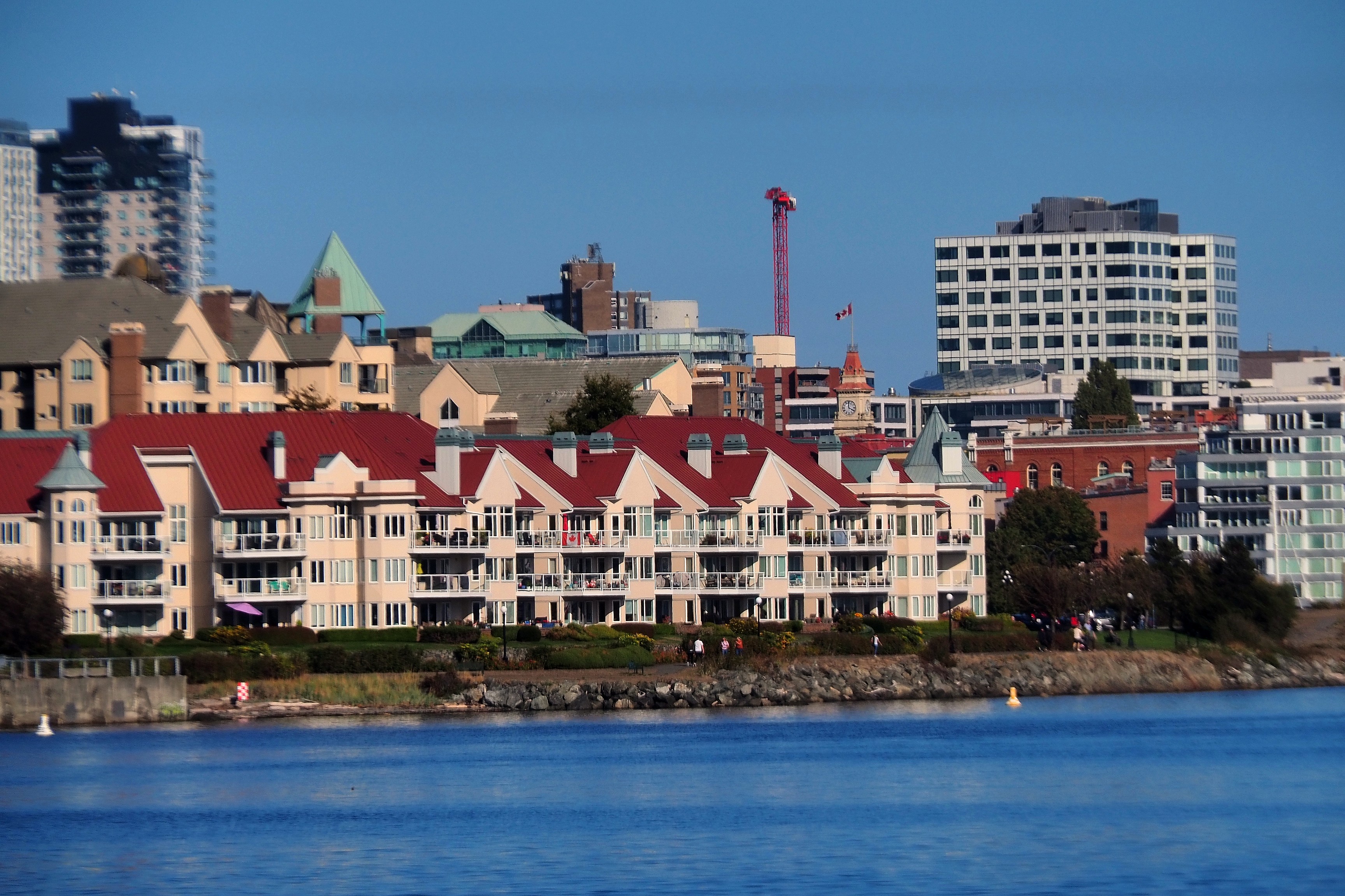
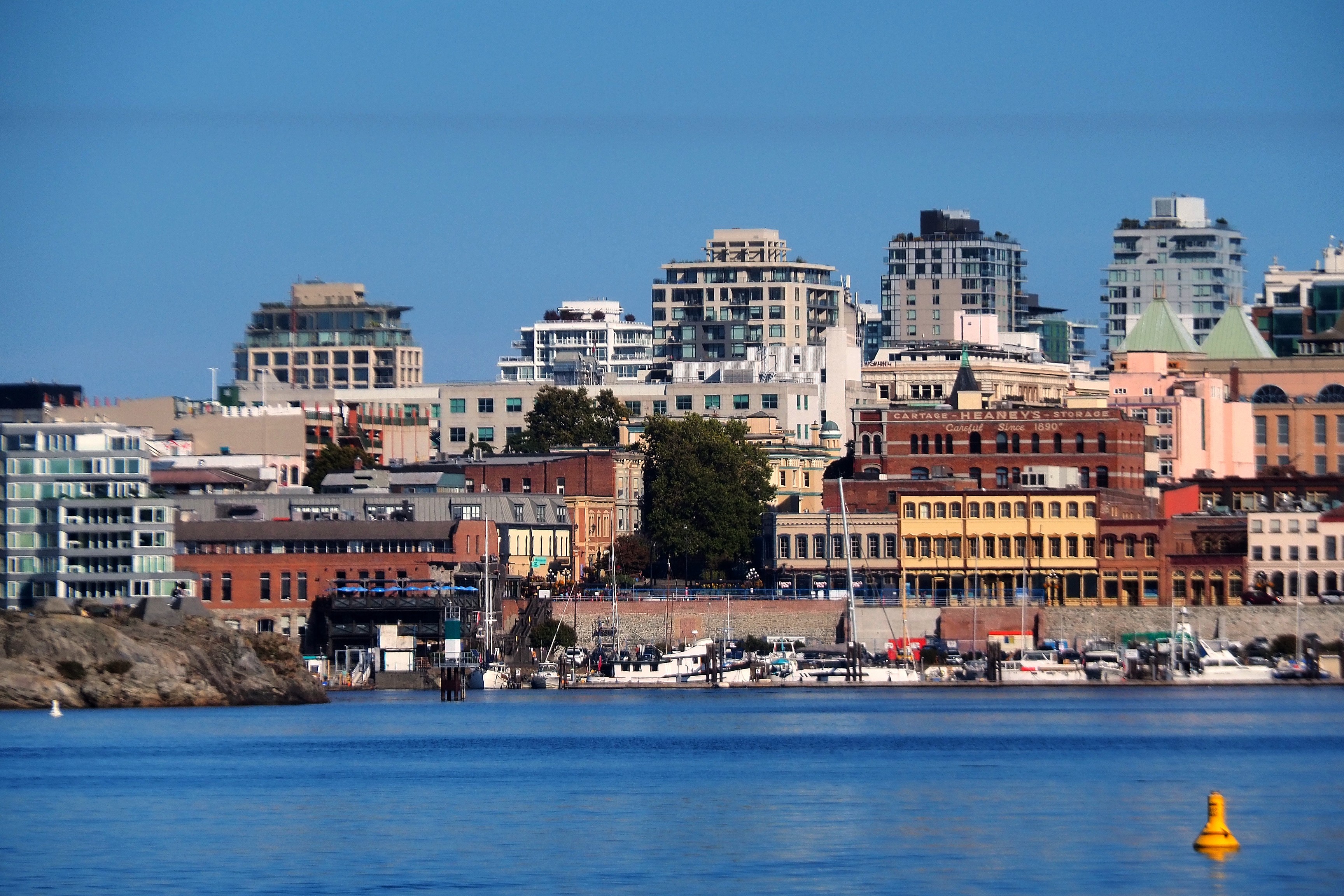
Waterfront residences and Victoria skyline along James Bay.Boats in Victoria Harbour with a view of the urban skyline.
Downtown skyline and Victoria's Inner Harbour.
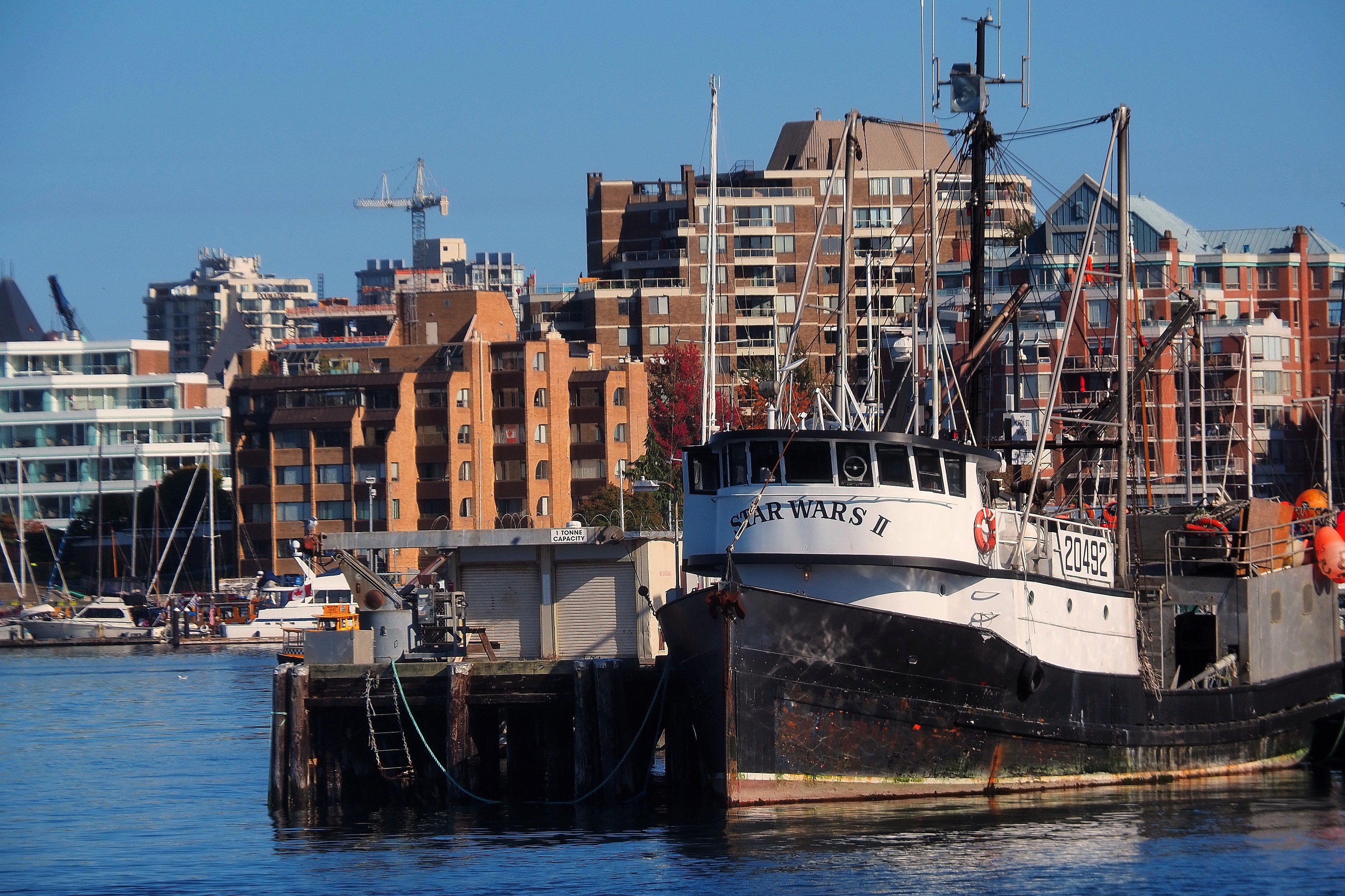
The trawler Star Wars II docked in Victoria Harbour, James Bay district.Floating homes and sailboat at Fisherman's Wharf, Victoria.

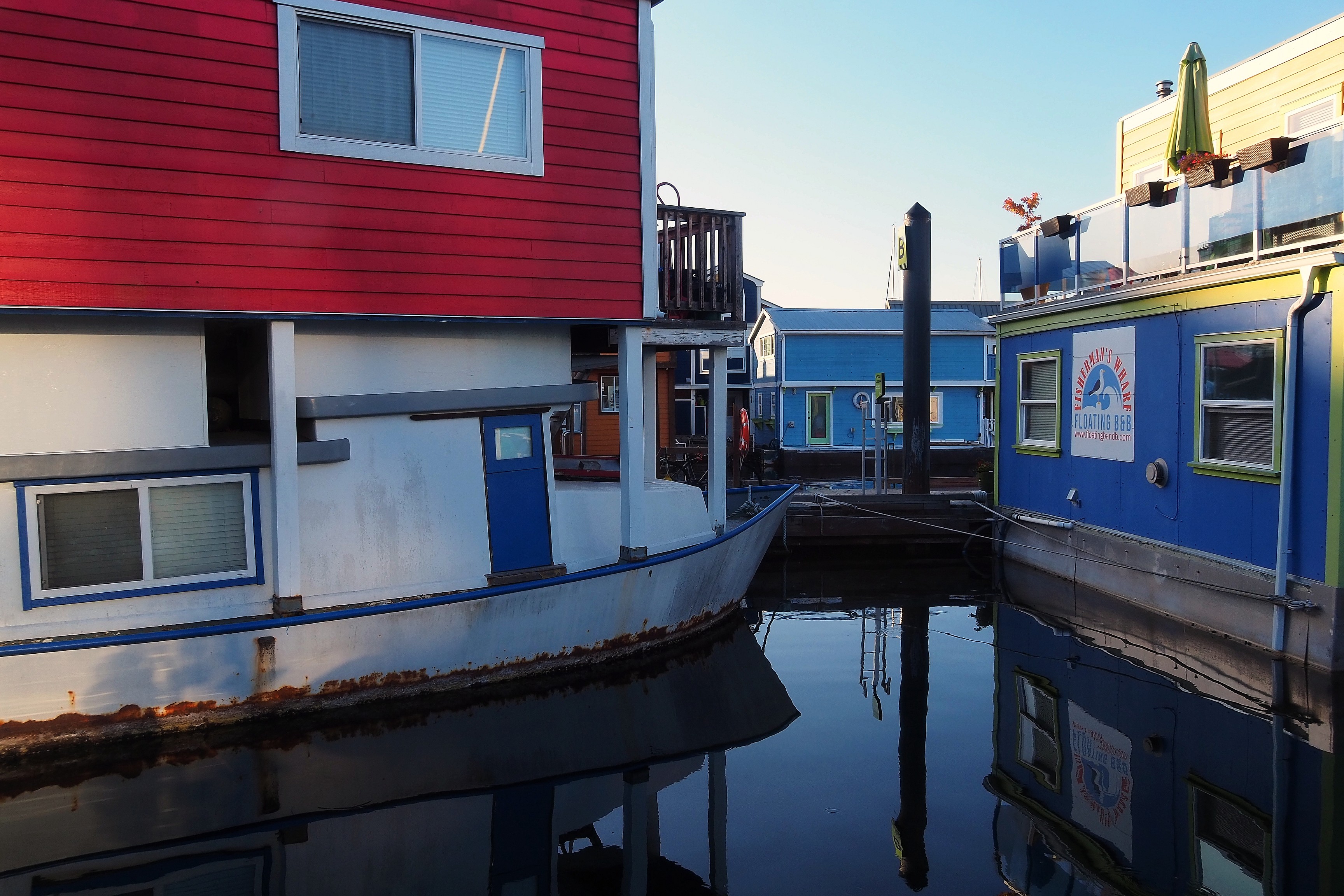
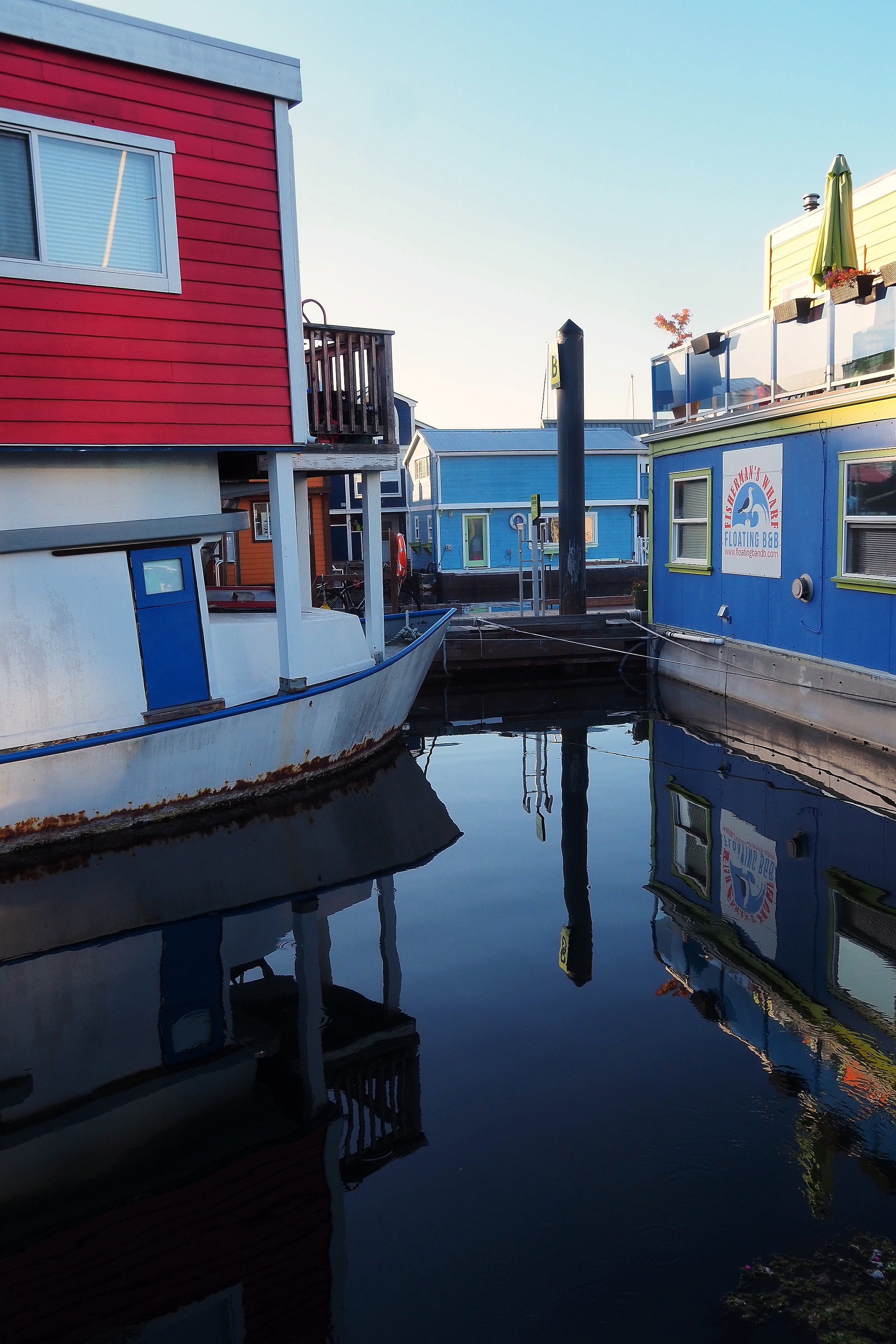
The floating houses of Fisherman's Wharf. We will go and set foot there shortly.

Colorful floating homes at Fisherman's Wharf in Victoria.
Colorful floating homes at Fisherman's Wharf in Victoria.Colorful floating homes at Fisherman's Wharf in Victoria.

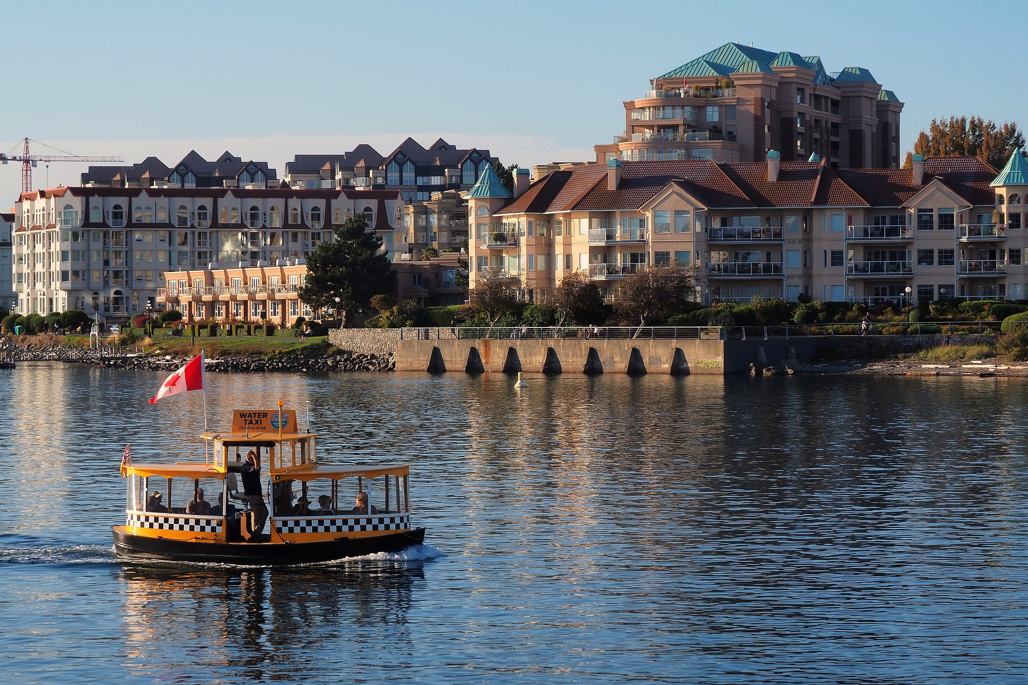
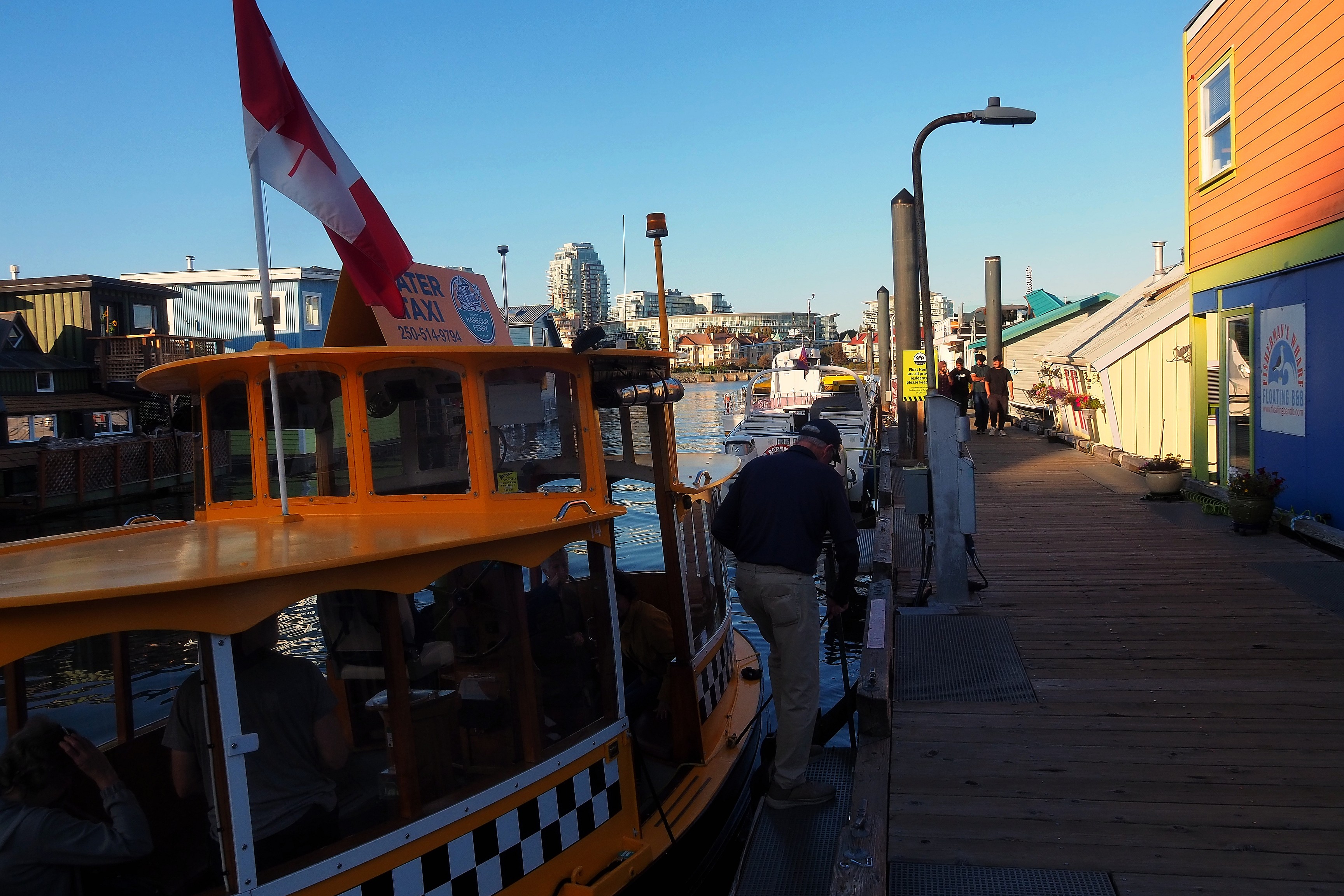
The yellow water taxi, a true icon of Victoria's inner harbor. It has been providing a shuttle service between the various docks since 1990.
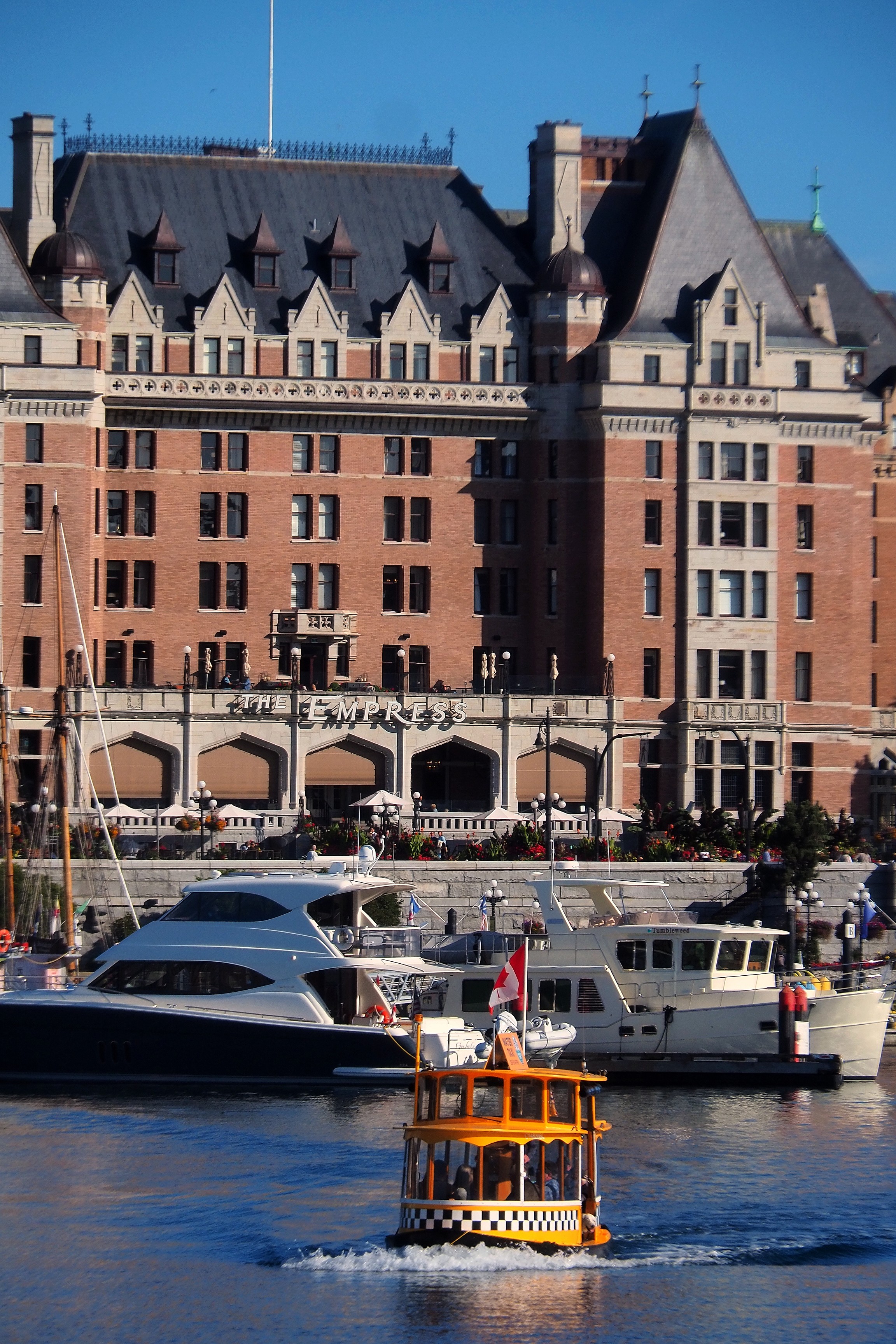
Water taxi in Victoria's Inner Harbour in front of the Fairmont Empress Hotel.Passengers and dog aboard a Victoria Harbour Ferry water taxi.

Victoria Chinatown

The city is not very big, but it still has its Chinatown!
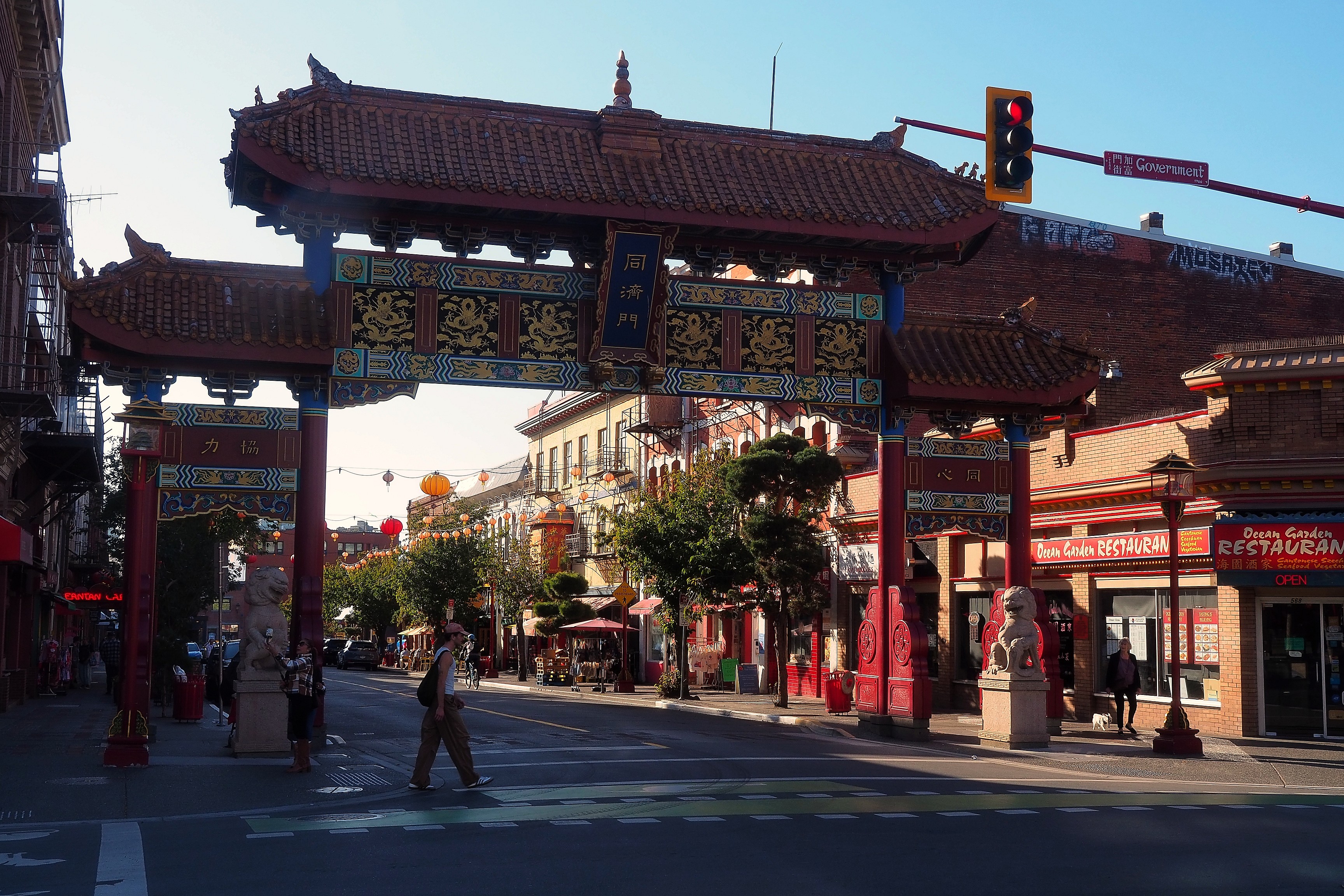
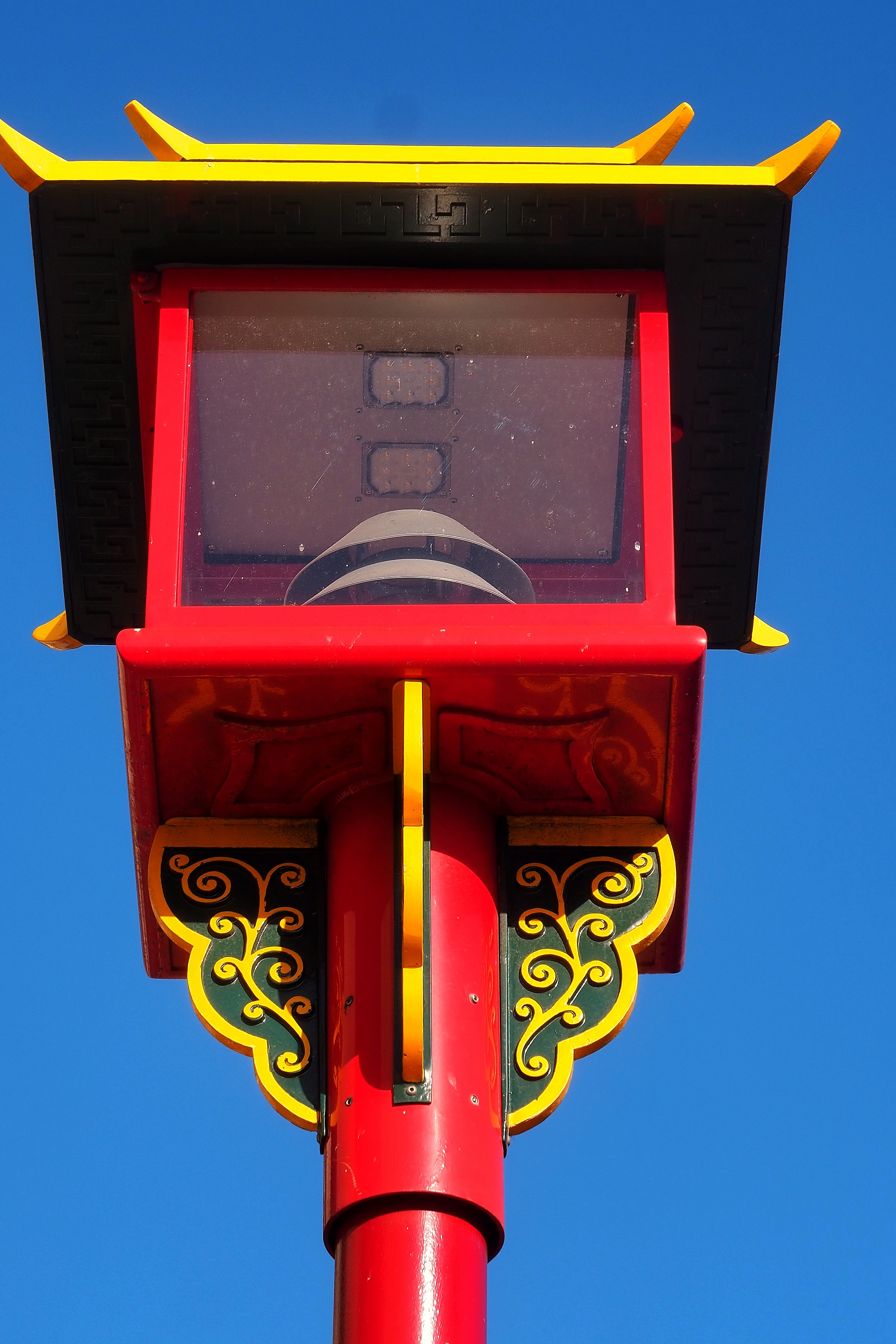
Gate of Harmonious Interest at the entrance to Victoria's Chinatown, at the intersection of Government and Fisgard streets.Decorative Chinatown street lamp on Pandora Avenue in Victoria.Gate of Harmonious Interest in Victoria's Chinatown.

Victoria's Chinatown is the oldest Asian district in Canada. It was born in the mid-19th century during the Fraser Canyon Gold Rush.
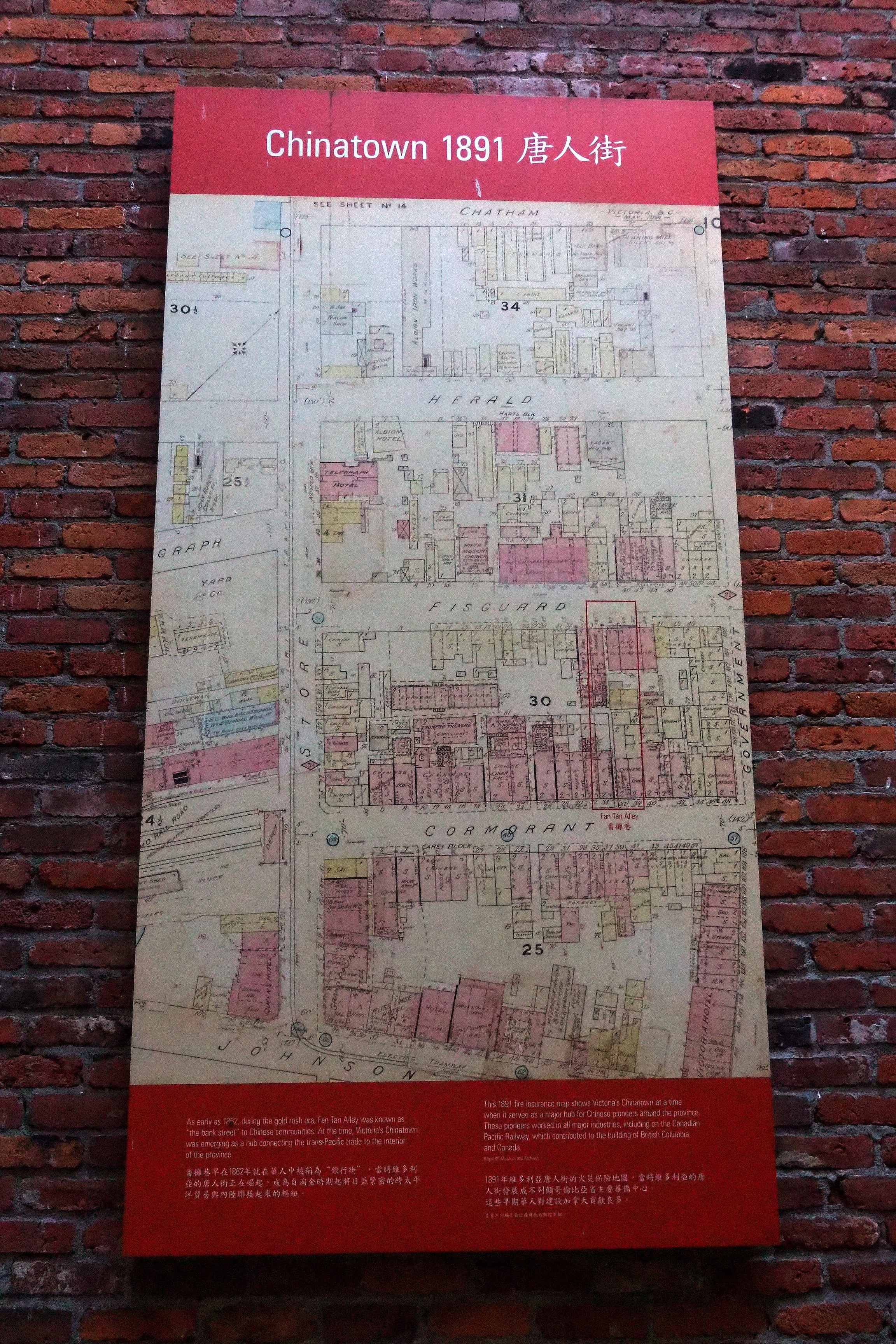
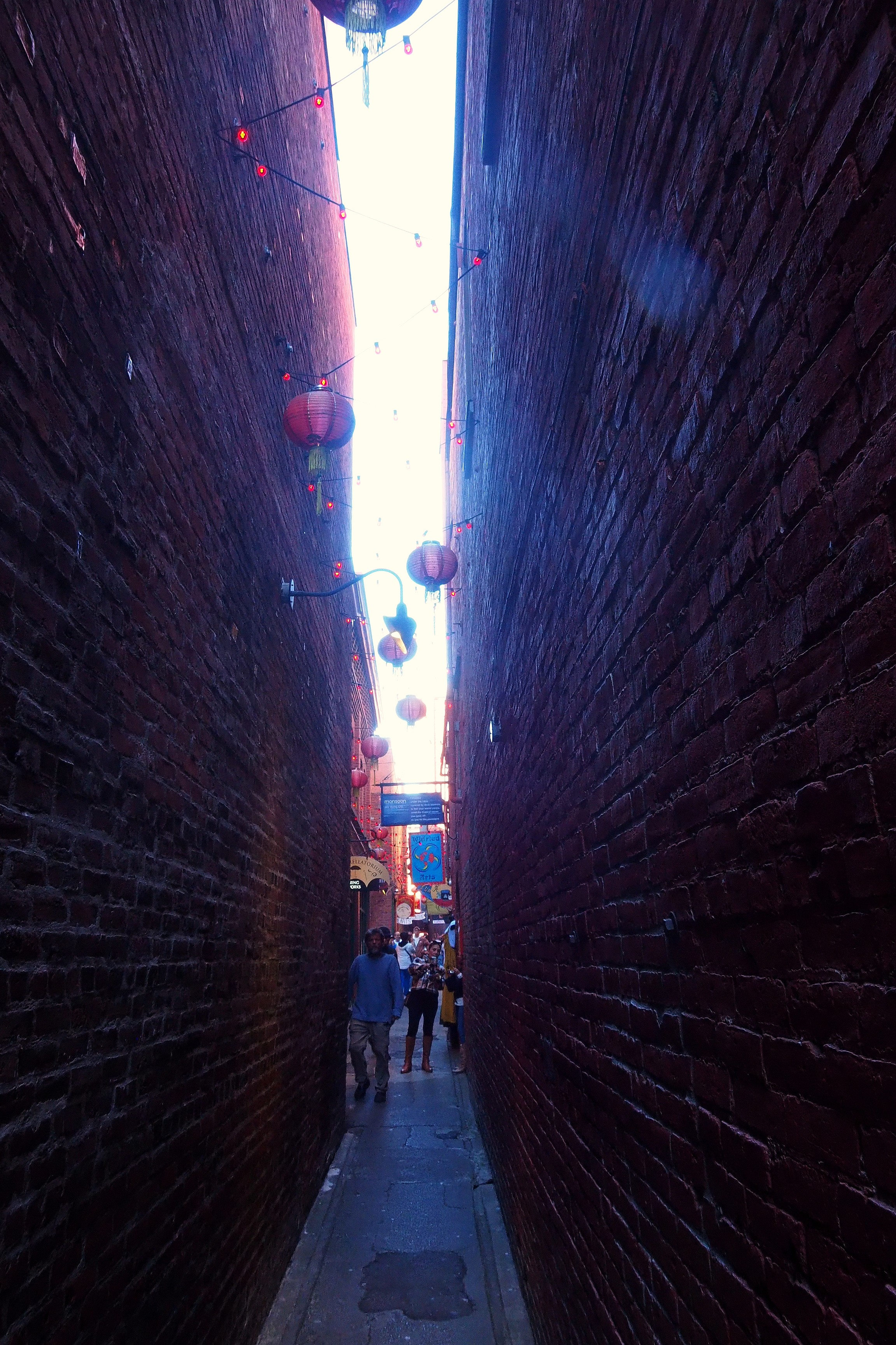
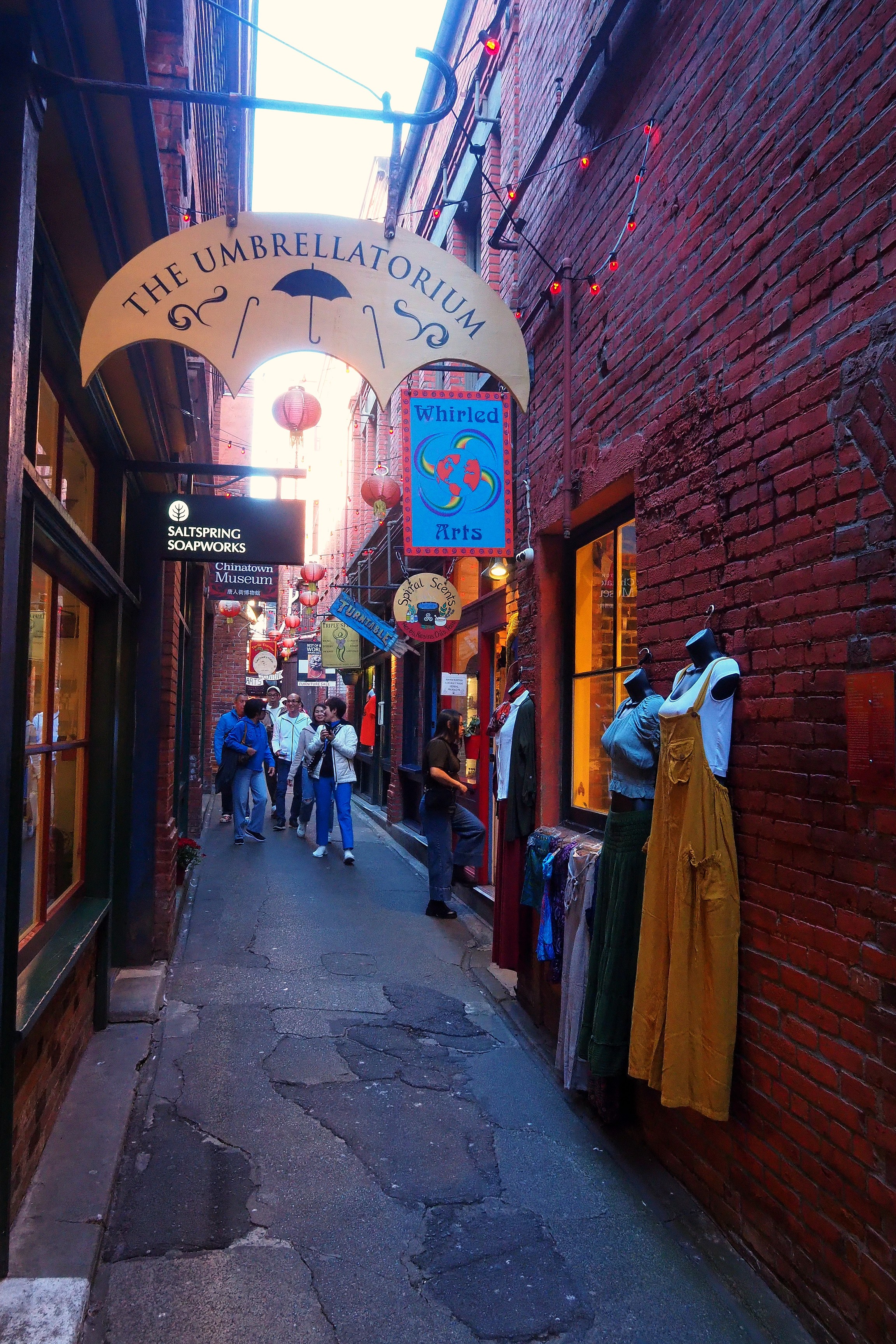
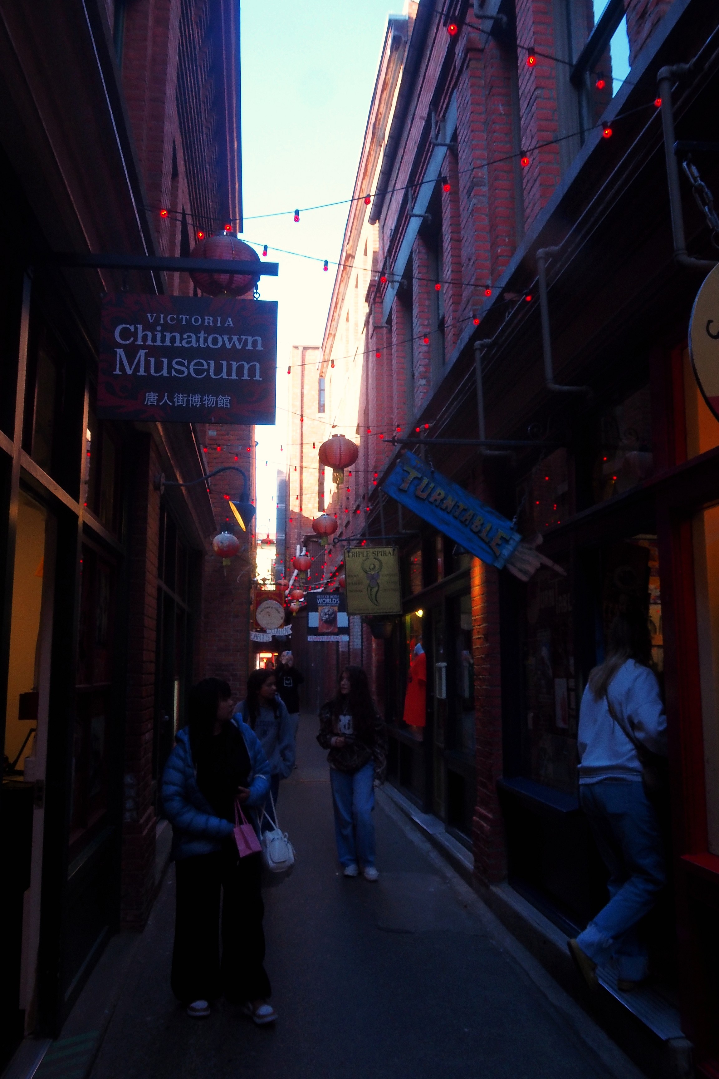
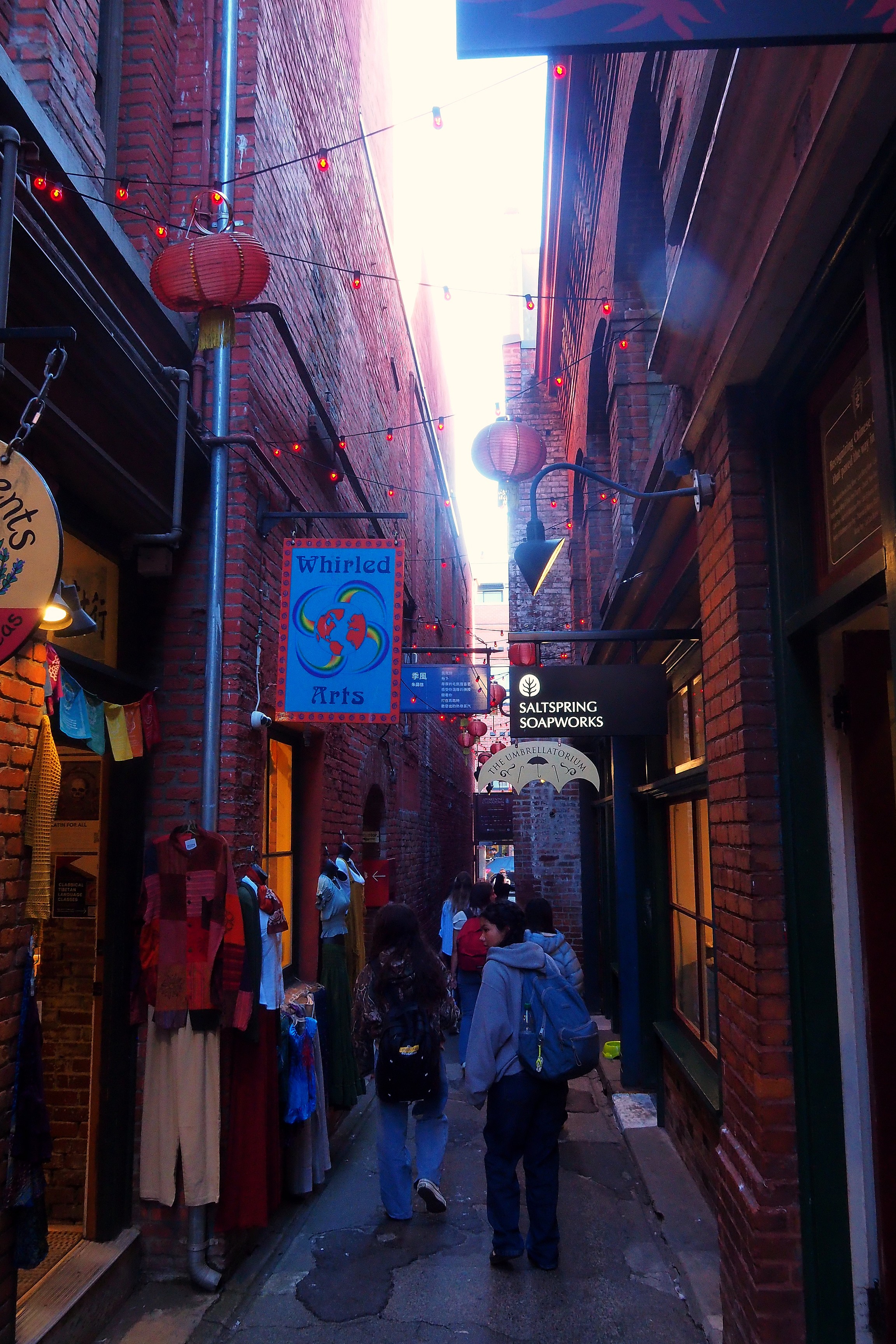
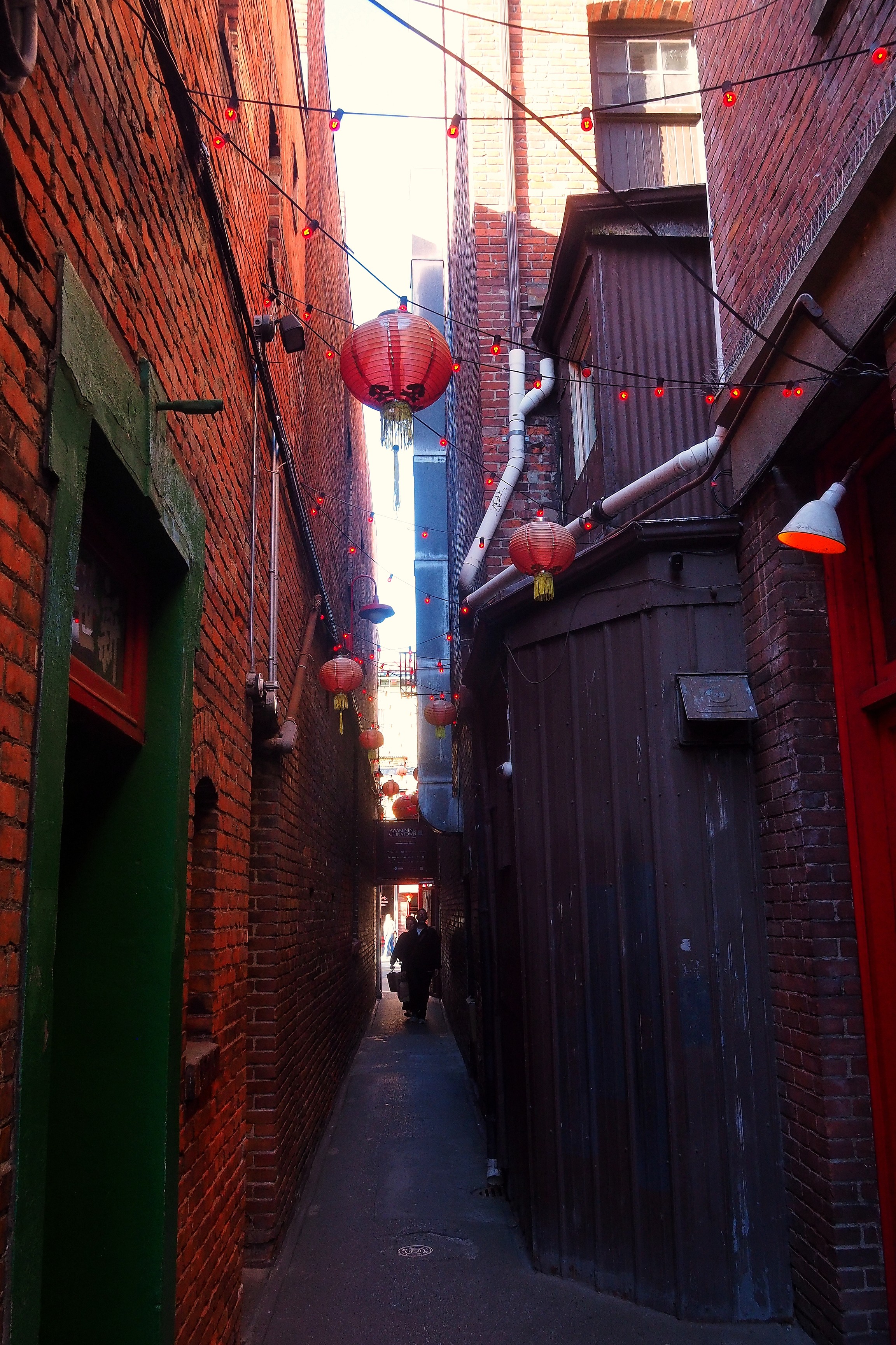
1891 fire insurance map of Chinatown and Fan Tan Alley in Victoria.Red lanterns in Fan Tan Alley, in Victoria's Chinatown.Shop signs and lanterns in Fan Tan Alley in Victoria's Chinatown.
Shops and lanterns in Fan Tan Alley, in the heart of Victoria's Chinatown.Shops and lanterns in Fan Tan Alley in Victoria's Chinatown.Red lanterns hanging in Fan Tan Alley, in Victoria's Chinatown.Red door and lanterns in Fan Tan Alley, Chinatown district in Victoria.
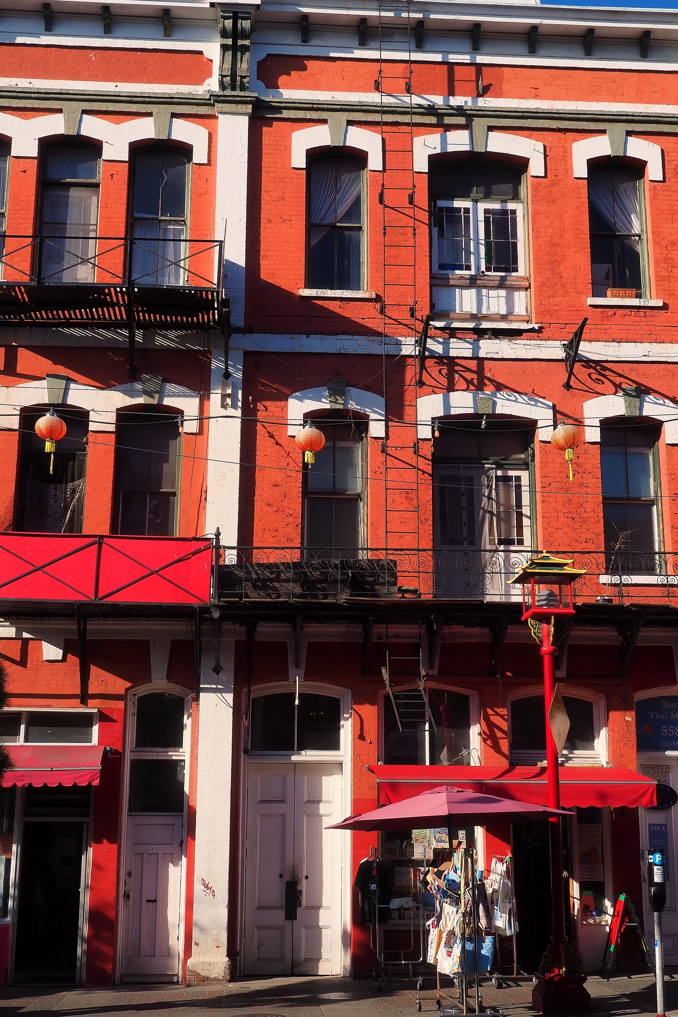
Red brick building in the Fisgard Street Chinatown district in Victoria.

Return to the port.

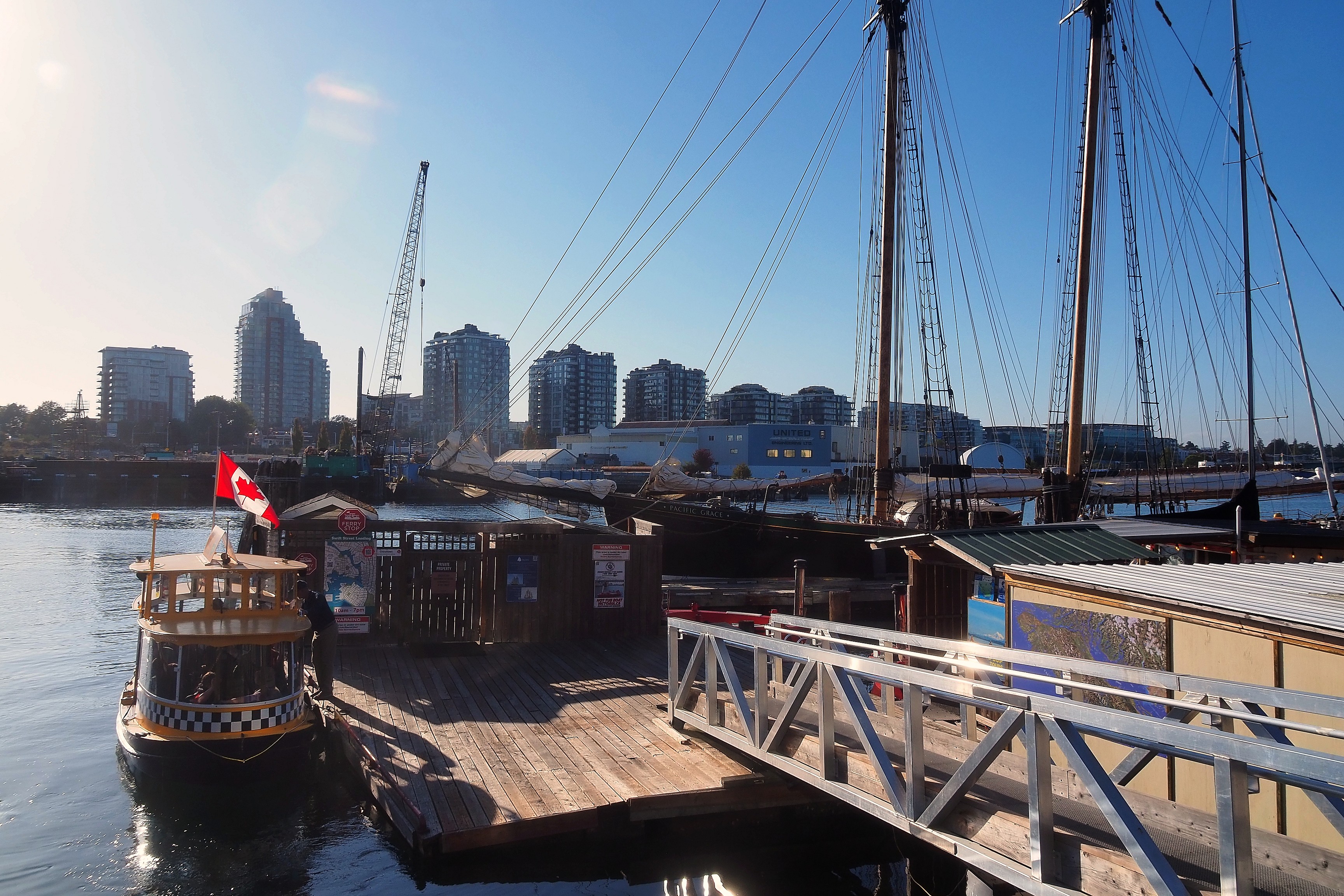
Water taxi at Mermaid Wharf with the sailboat Pacific Grace in Victoria.
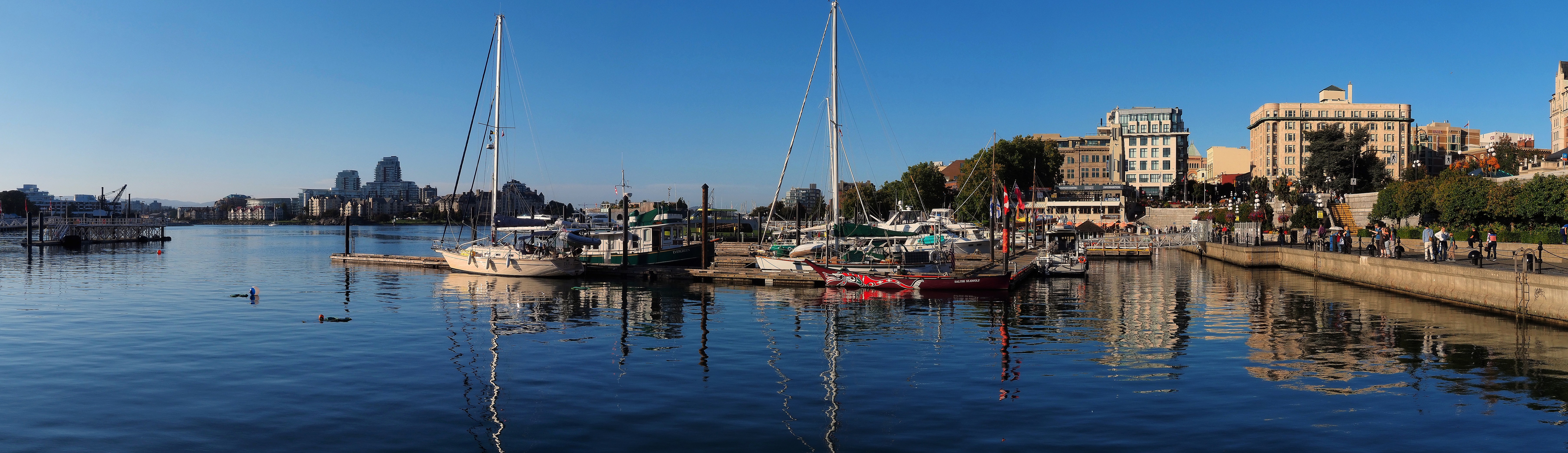
Sailboats moored in Victoria's Inner Harbour and waterfront promenade.
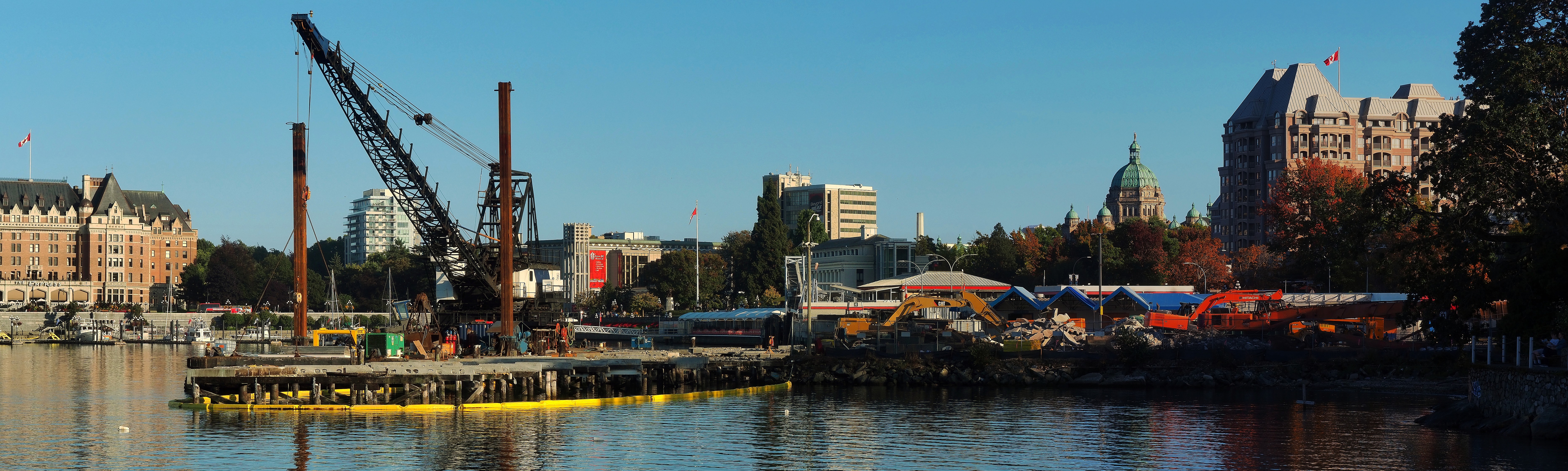
Construction site in Victoria's Inner Harbour, with the Fairmont Empress Hotel and the British Columbia Parliament Buildings in the background.
Harbour Air seaplane in Victoria Harbour, in front of waterfront buildings.Harbour Air seaplane navigating James Bay in Victoria, in front of residential buildings.Water taxi on the waterfront of the James Bay district in Victoria.
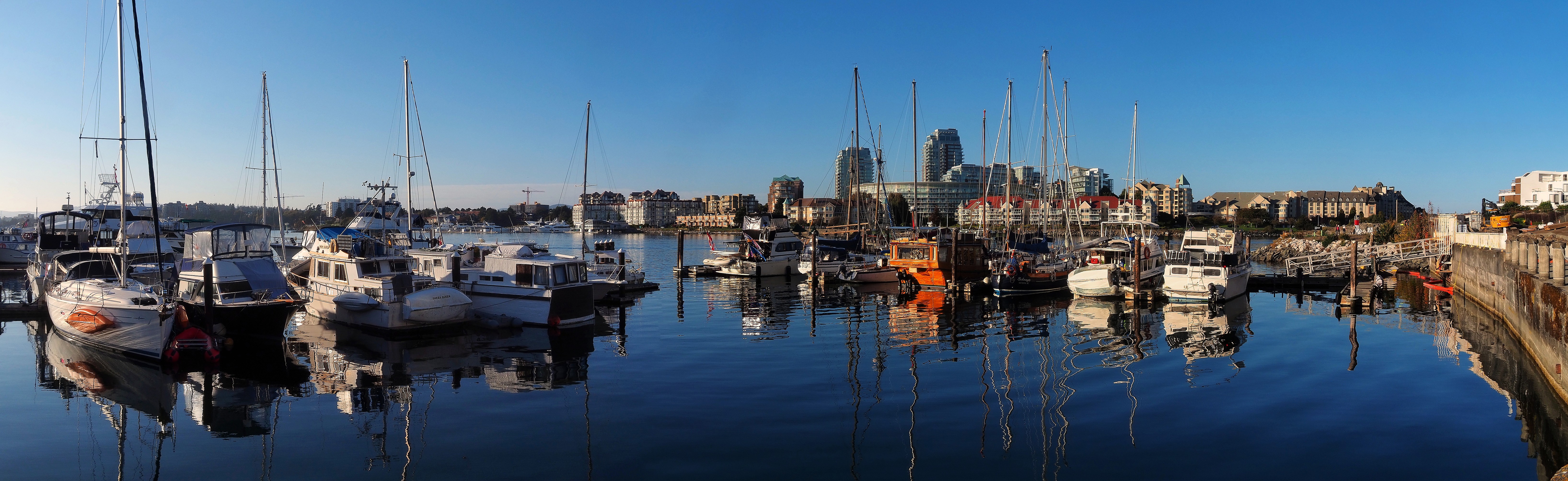
Boats anchored in Victoria's marina.

Victoria Fishermans Wharf

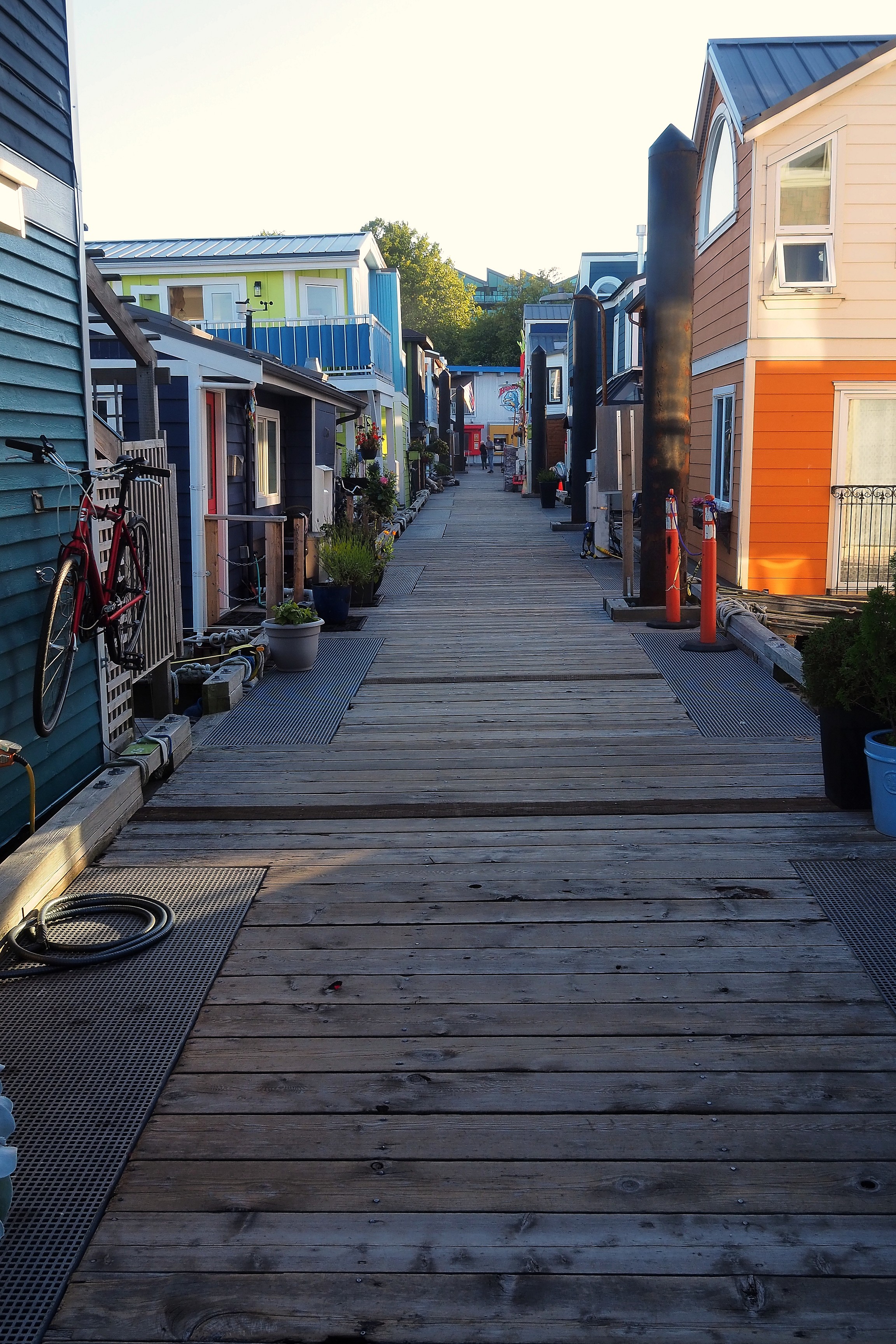
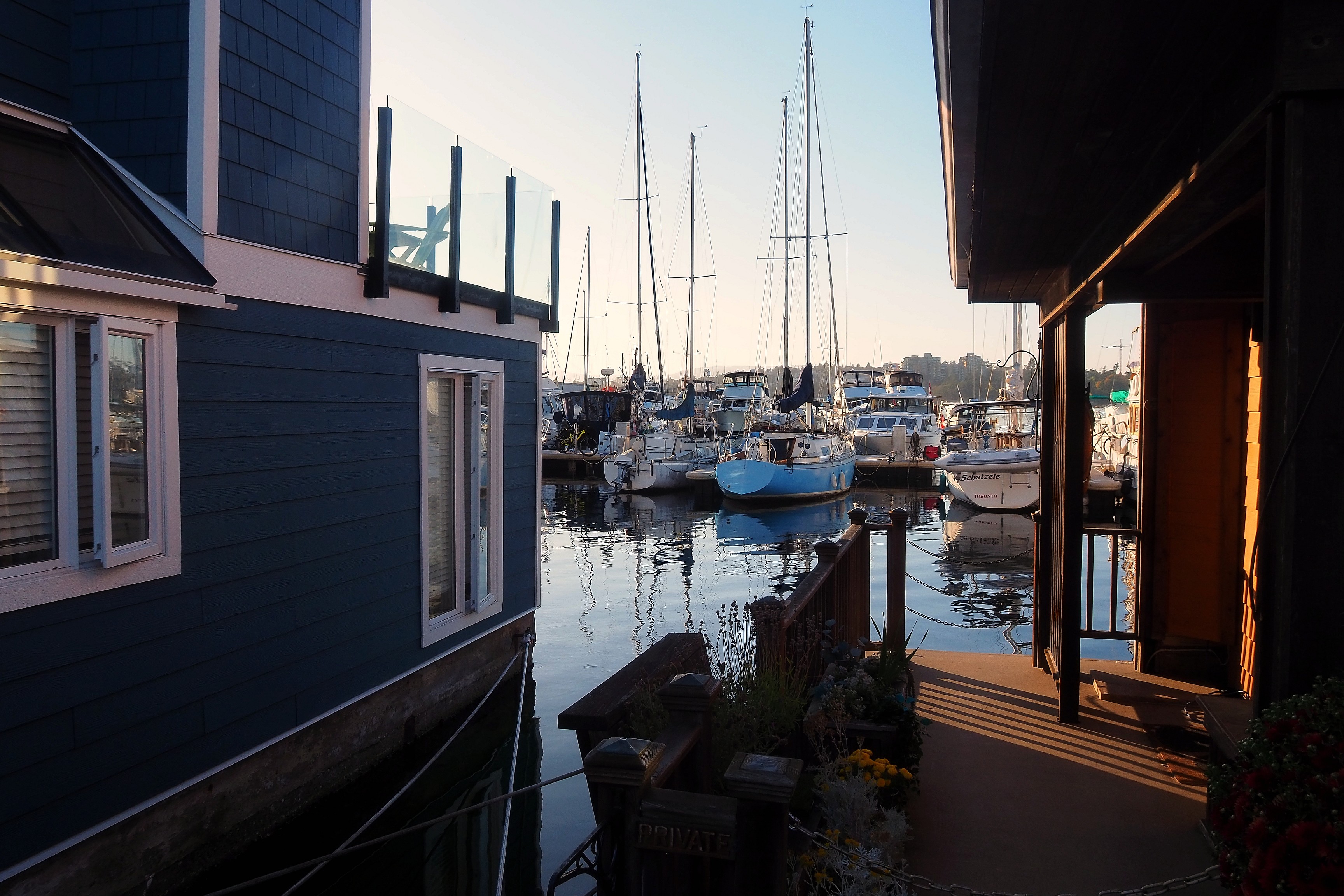
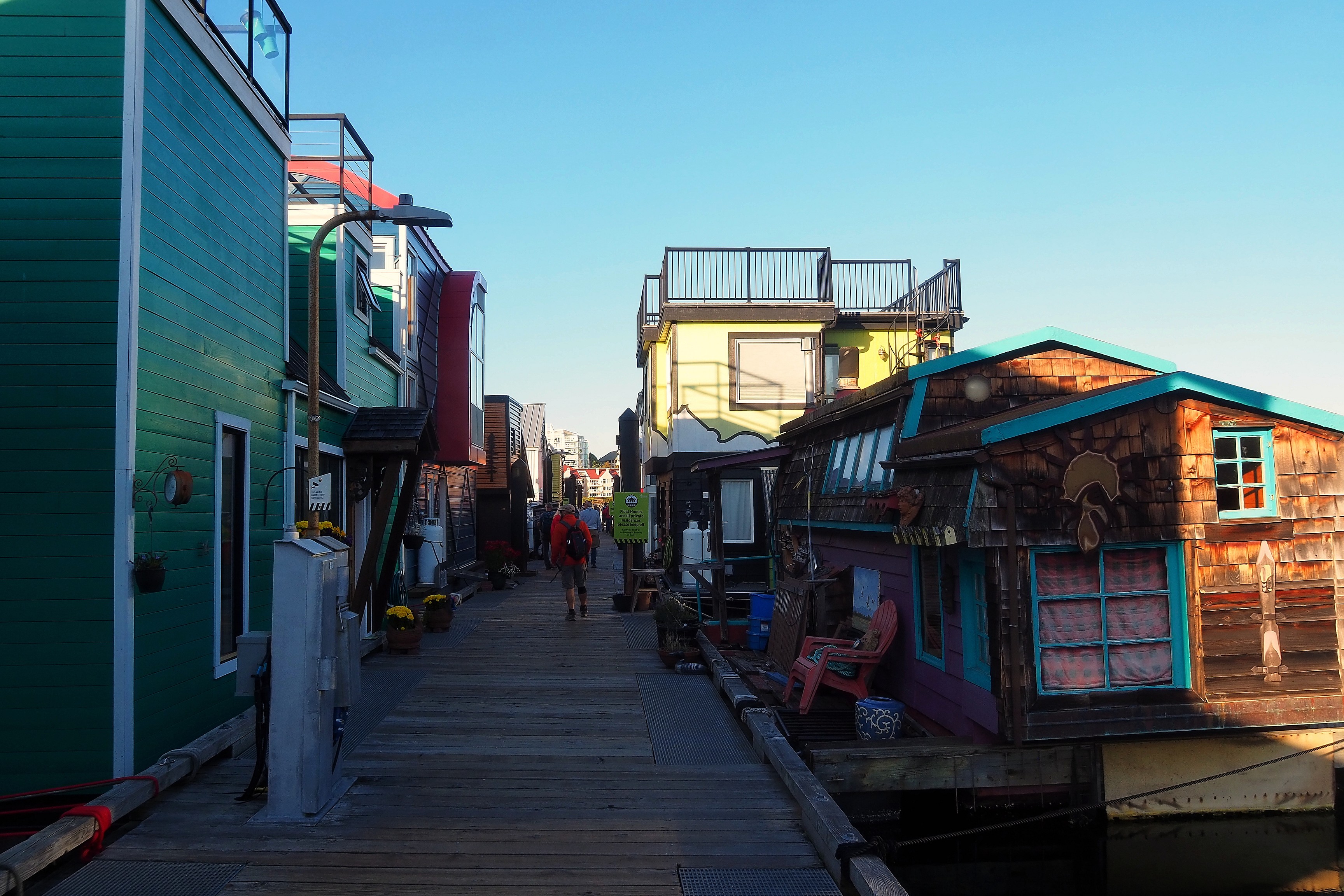
Initially designed as a small fishing port after the Second World War, the site gradually saw its boats give way to charming floating houses, thus attracting walkers and other tourists...

Information sign and map of Fisherman's Wharf on Dallas Road in Victoria.

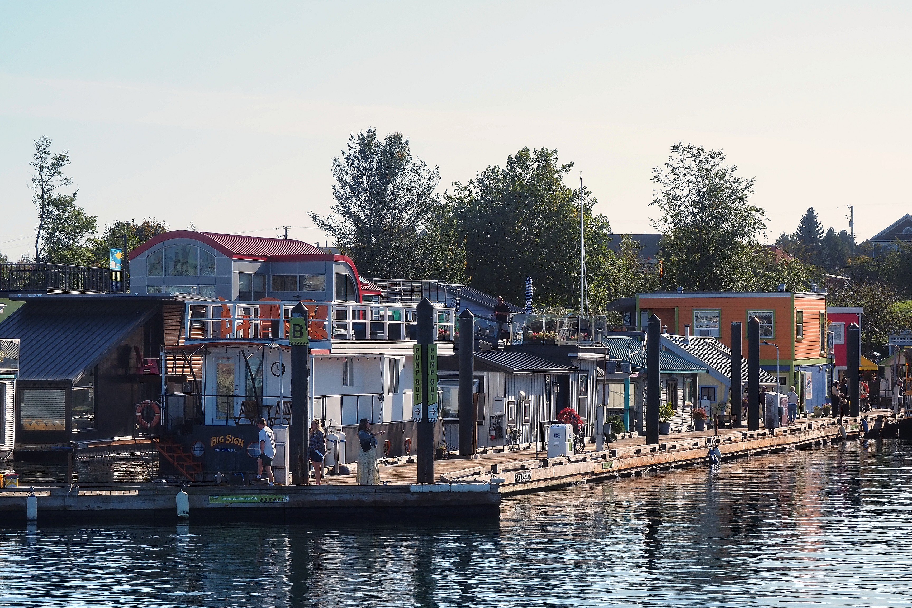
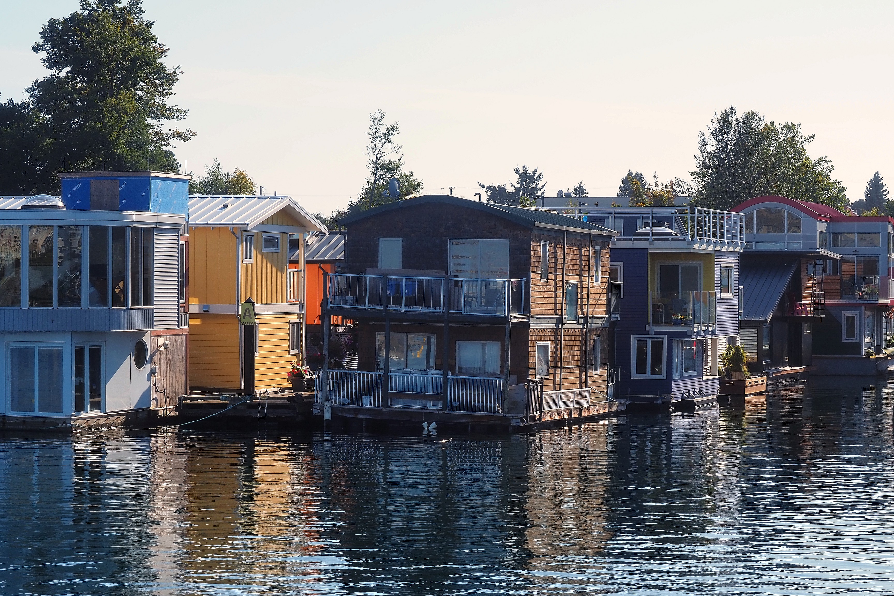
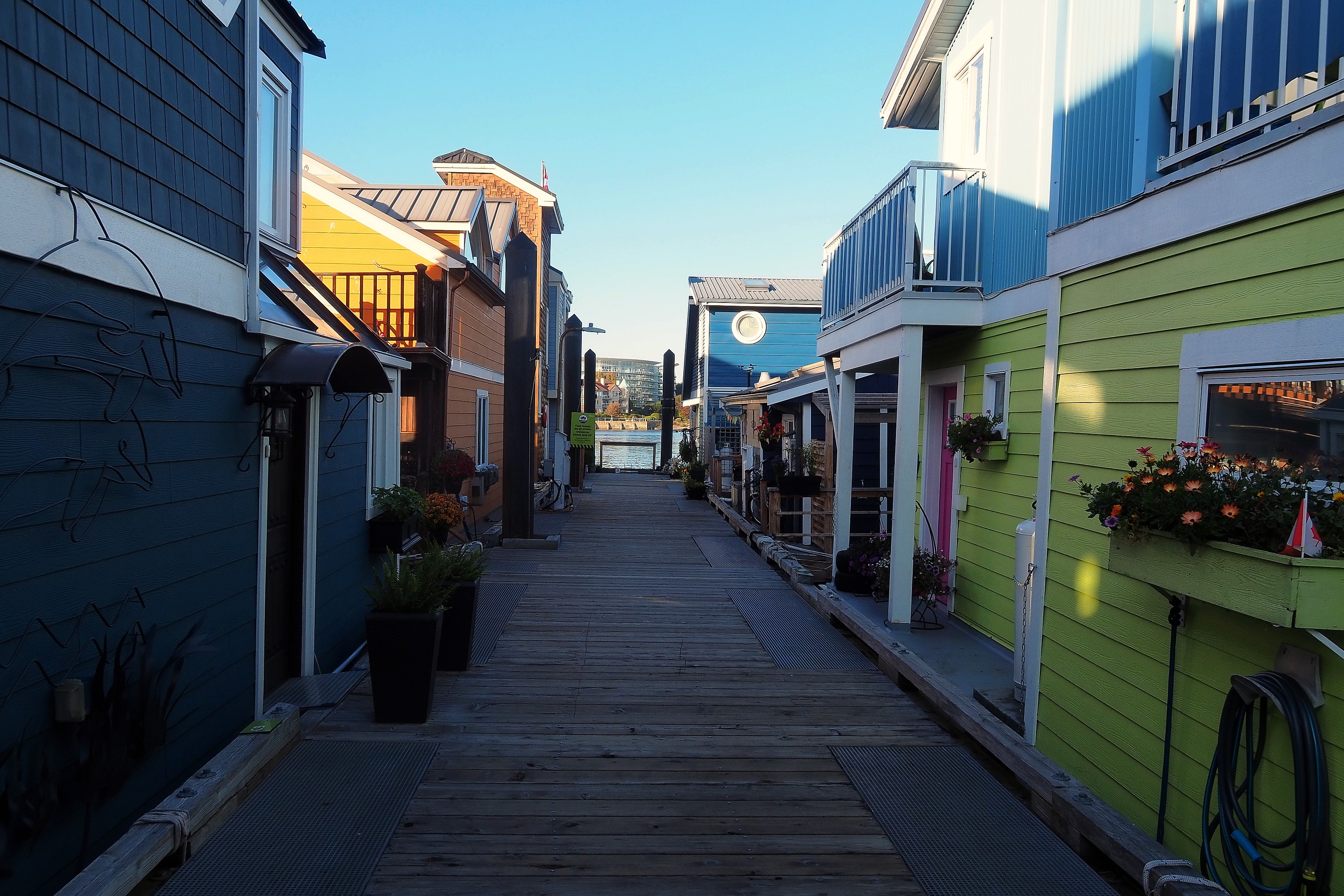
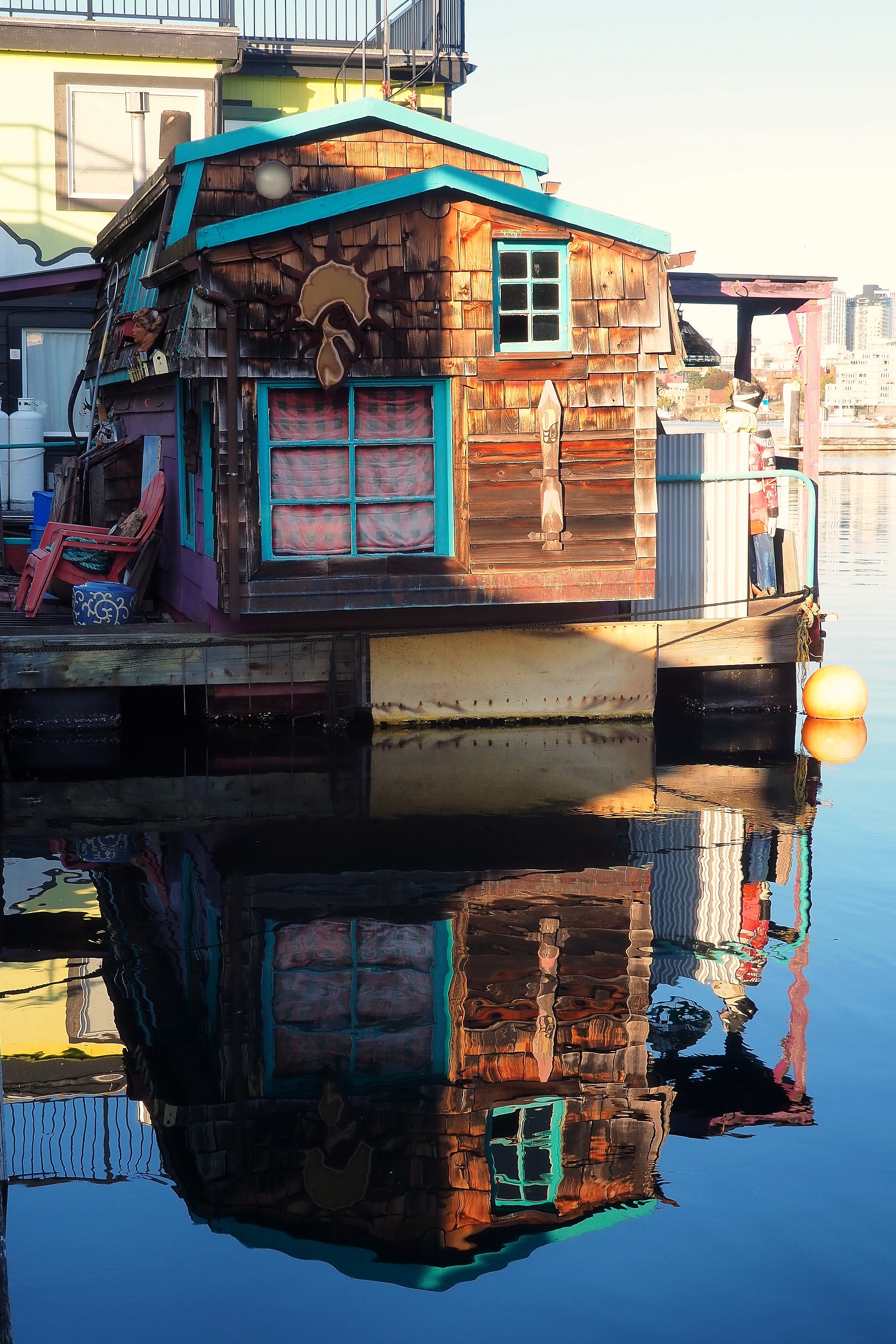
The dwellings are true permanent residences for some inhabitants.
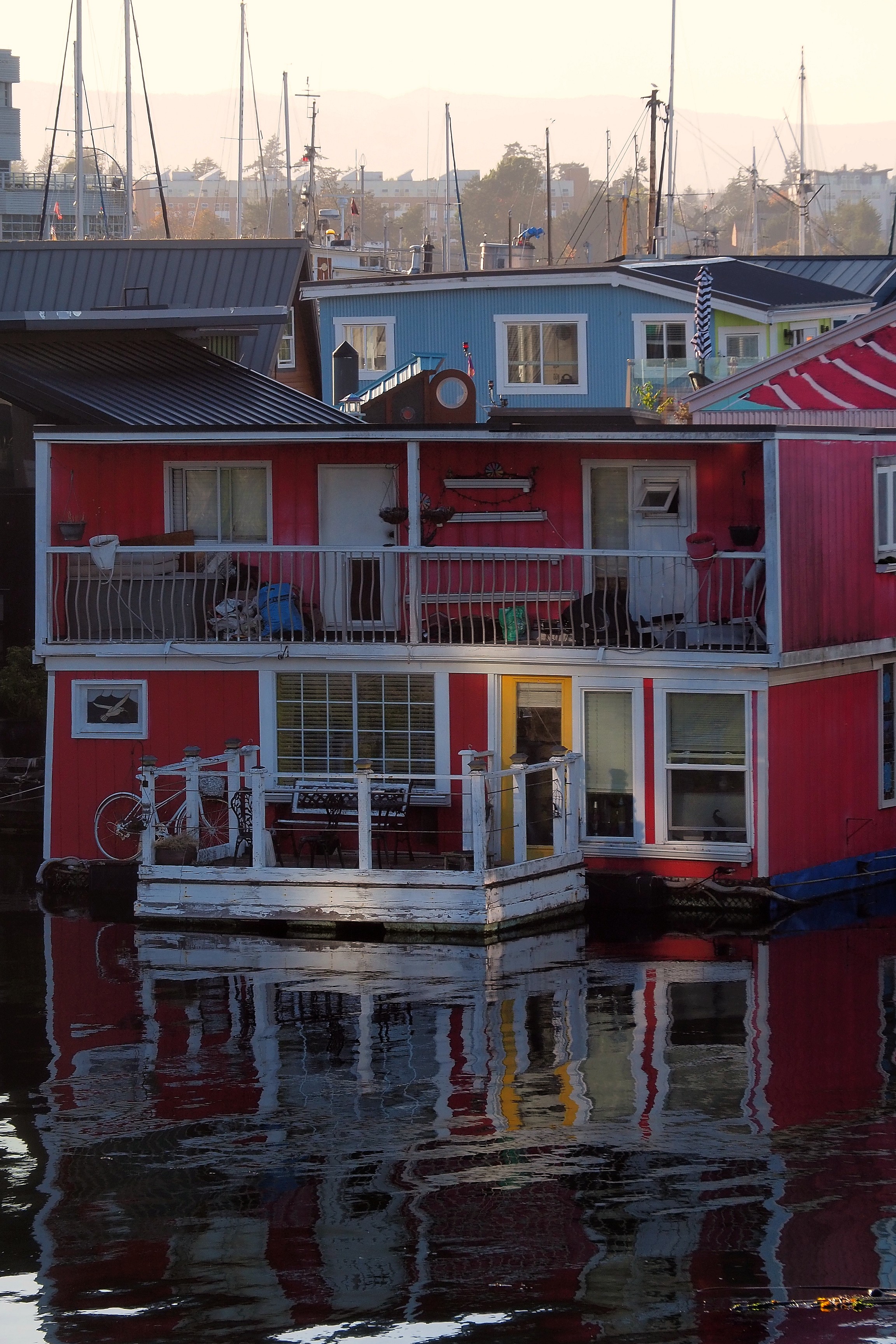
Floating homes with reflections at Fisherman's Wharf in Victoria.Colorful floating homes at Fisherman's Wharf in Victoria, at the end of the day.Blue floating home at Fisherman's Wharf in Victoria.
Colorful floating homes at Fisherman's Wharf in Victoria.
Alley between the floating homes of Fisherman's Wharf in Victoria.Colorful floating homes at Fisherman's Wharf in Victoria.
Signpost at Victoria Harbour with a view of the waterfront.Information sign at Fisherman's Wharf in the James Bay district of Victoria.Victoria Harbour Ferry amidst the floating homes of Fisherman's Wharf.
Bicycle hanging on a floating home on the Fisherman's Wharf dock in Victoria.Floating homes on the Fisherman's Wharf dock in Victoria.Floating homes and sailboats at Fisherman's Wharf, Victoria.
Colorful floating homes at Fisherman's Wharf in Victoria.Reflection of a floating home at Fisherman's Wharf, Victoria.
Door with a porthole on a floating house at Fisherman's Wharf, Victoria.
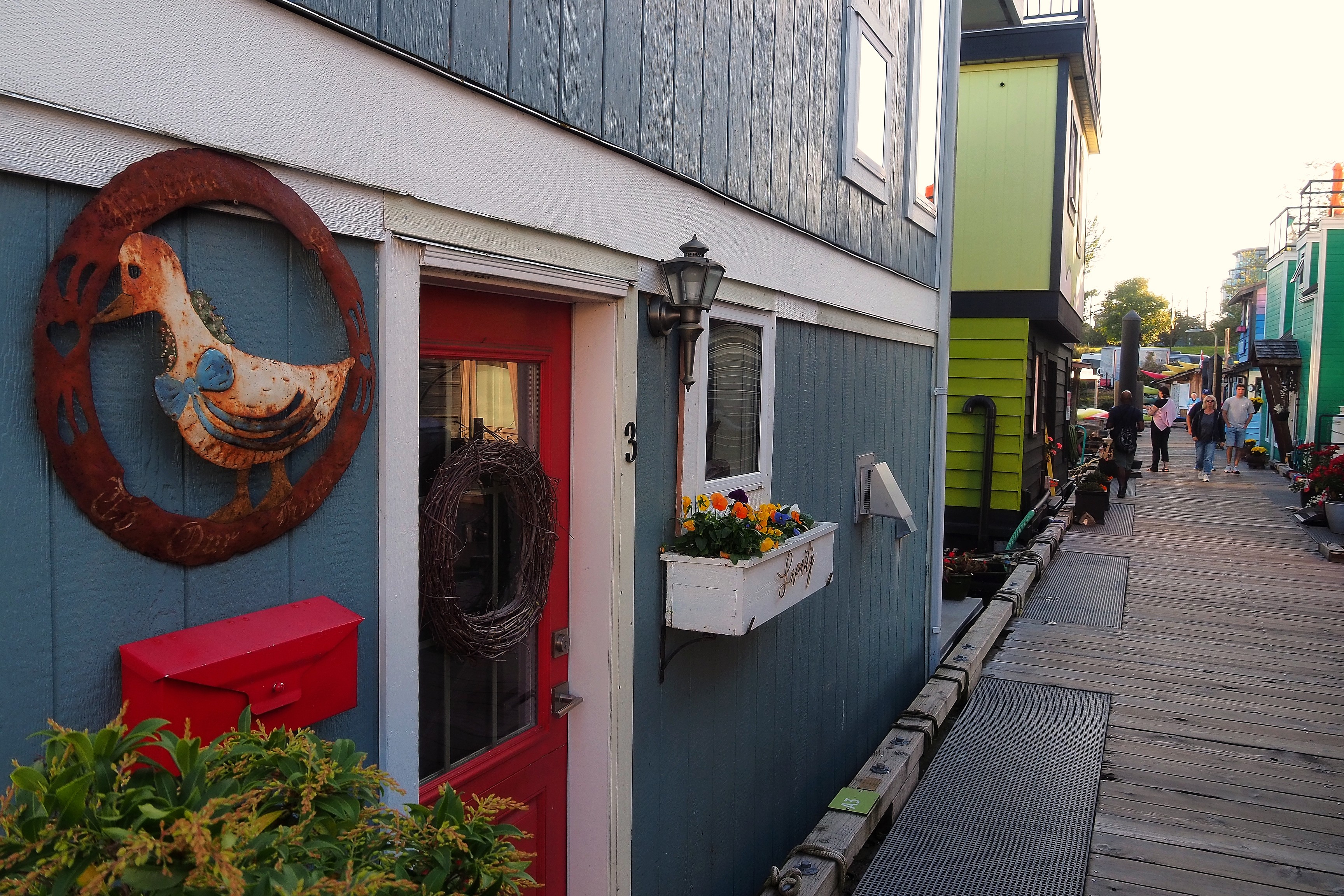
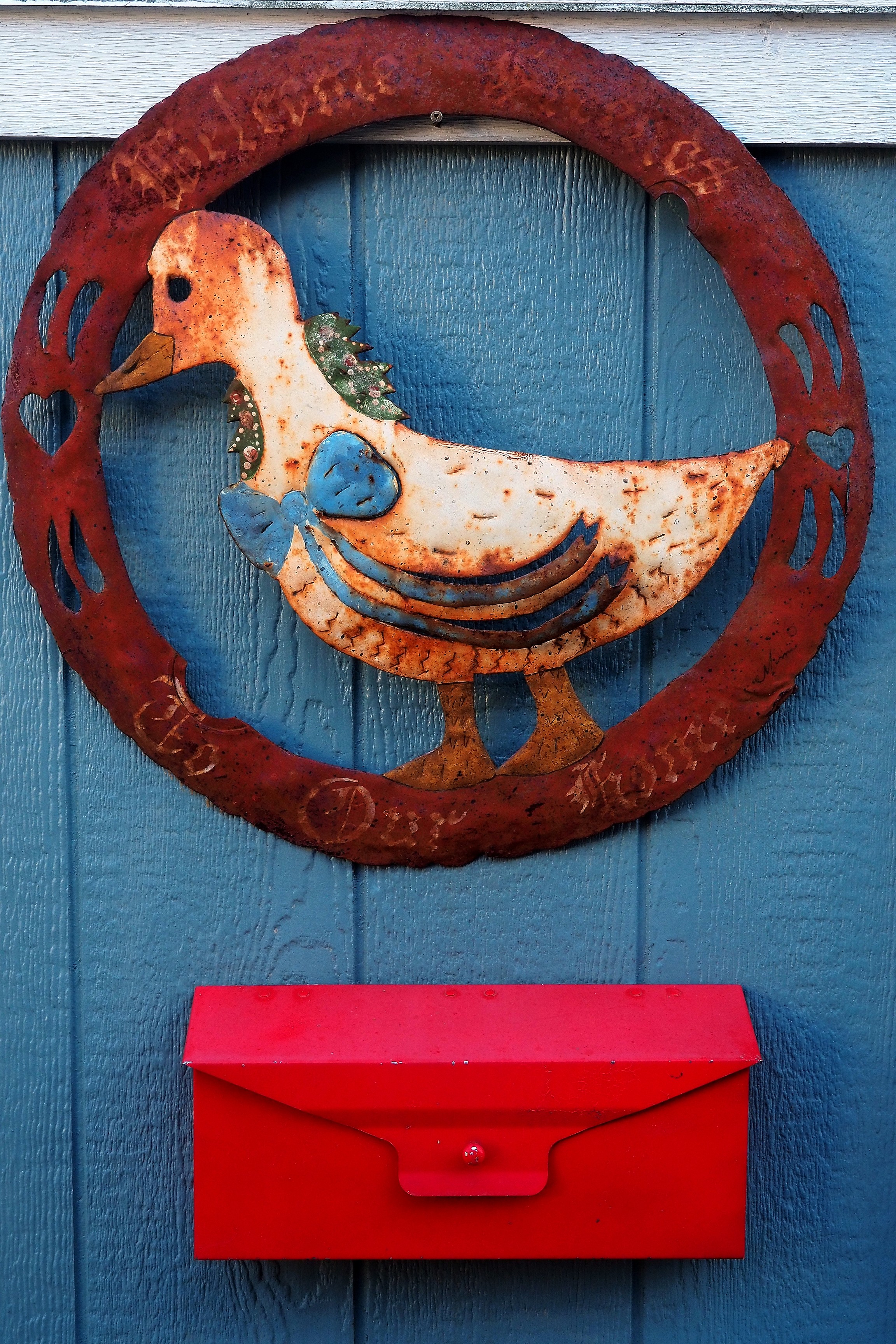
Colorful floating houses along Fisherman's Wharf in Victoria.Rusty metal wall decoration depicting a bird above a red mailbox in Victoria.
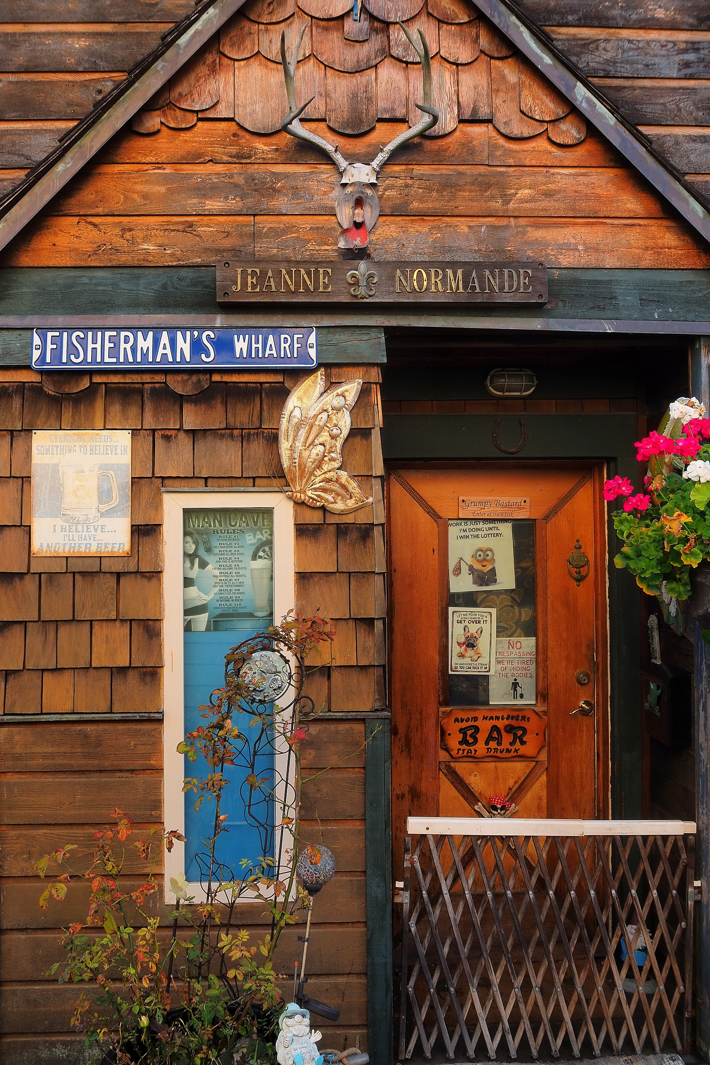
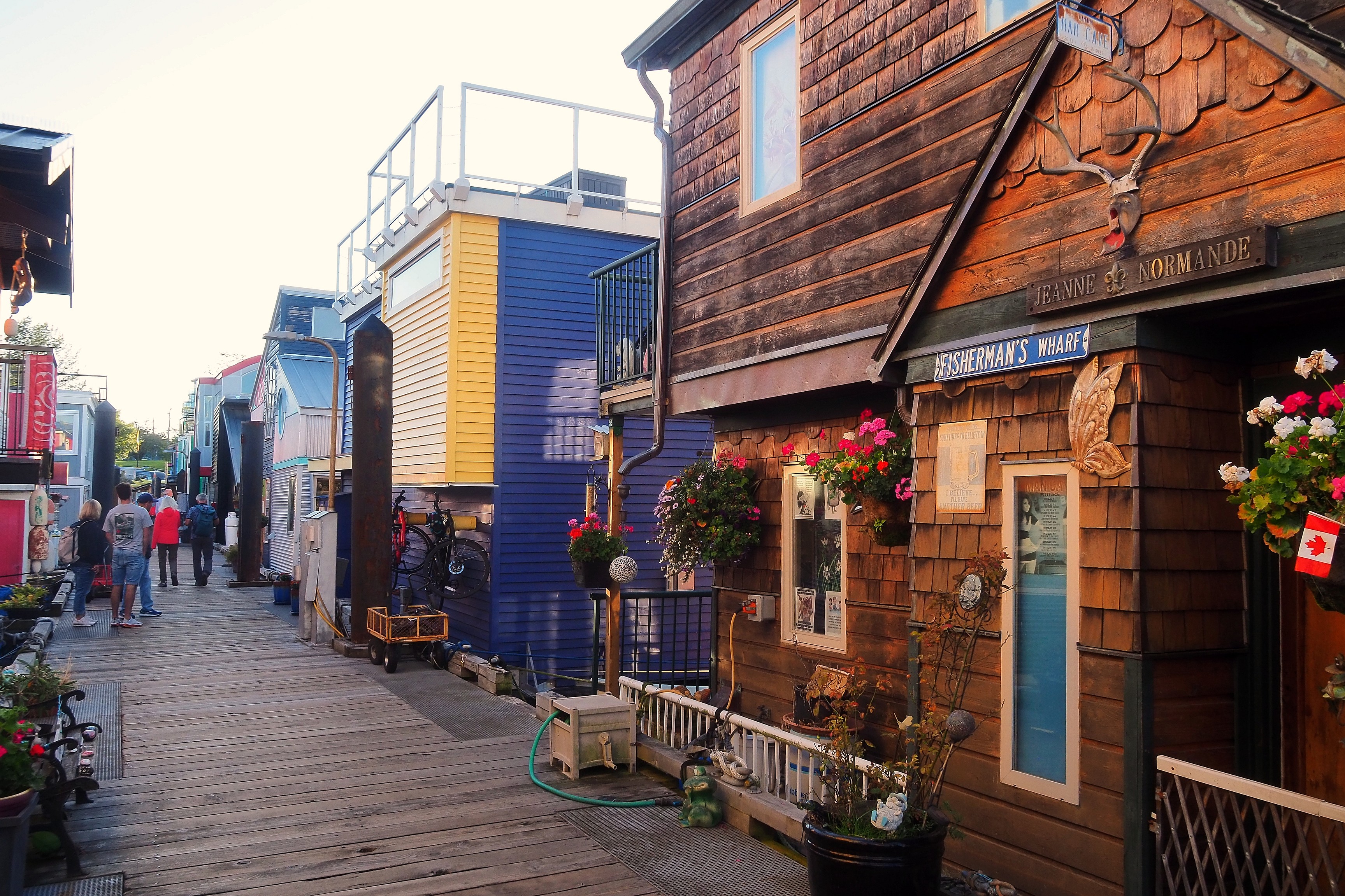
Deer skull on the facade of the Jeanne Normande dwelling at Fisherman's Wharf in Victoria.Colorful floating houses on the docks of Fisherman's Wharf in Victoria.
Colorful floating houses at Fisherman's Wharf in Victoria.Colorful floating houses at Fisherman's Wharf in Victoria.
Reflection of a floating house with an orange door in Victoria's harbor.Colorful floating houses at Fisherman's Wharf in Victoria.Modern architecture floating house in James Bay, Victoria.
Colorful floating houses and reflections on the water at Fisherman's Wharf in Victoria.Rusty tugboat at Fisherman's Wharf in Victoria under golden light.
Water taxi docked in front of the floating houses at Fisherman's Wharf in Victoria.
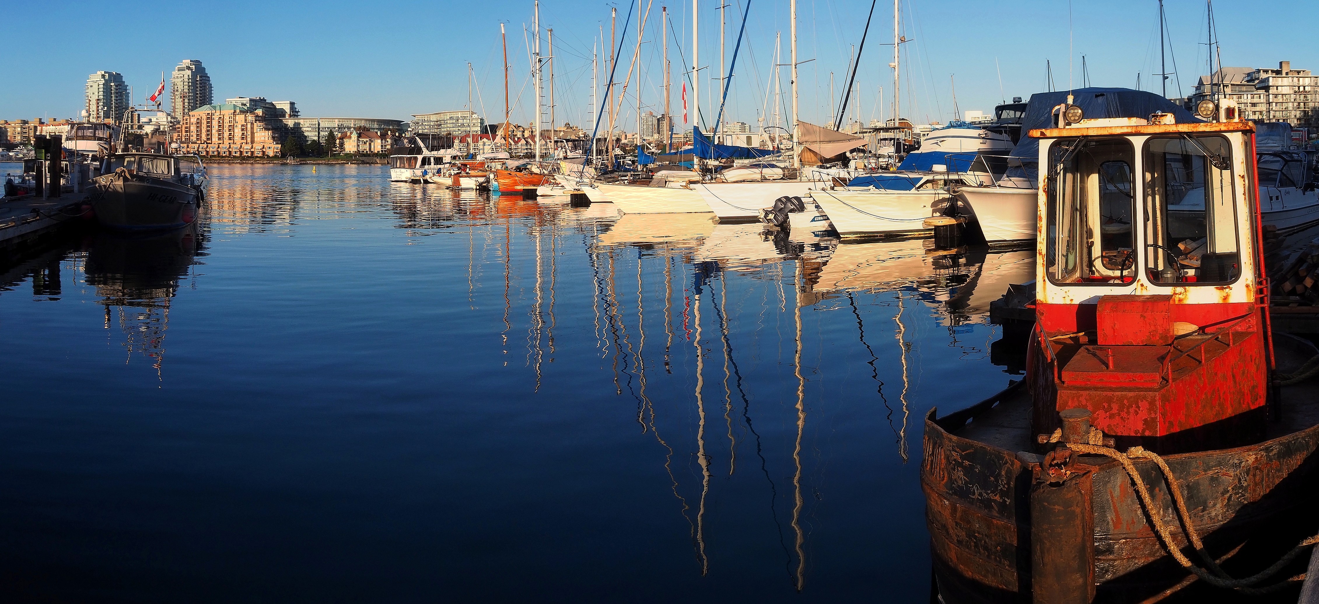
Sailboats and reflections on the water at Fisherman's Wharf in Victoria.

Return to the front of the Parliament where commemorative plaques honor sailors and local figures who have marked the maritime history of the region.

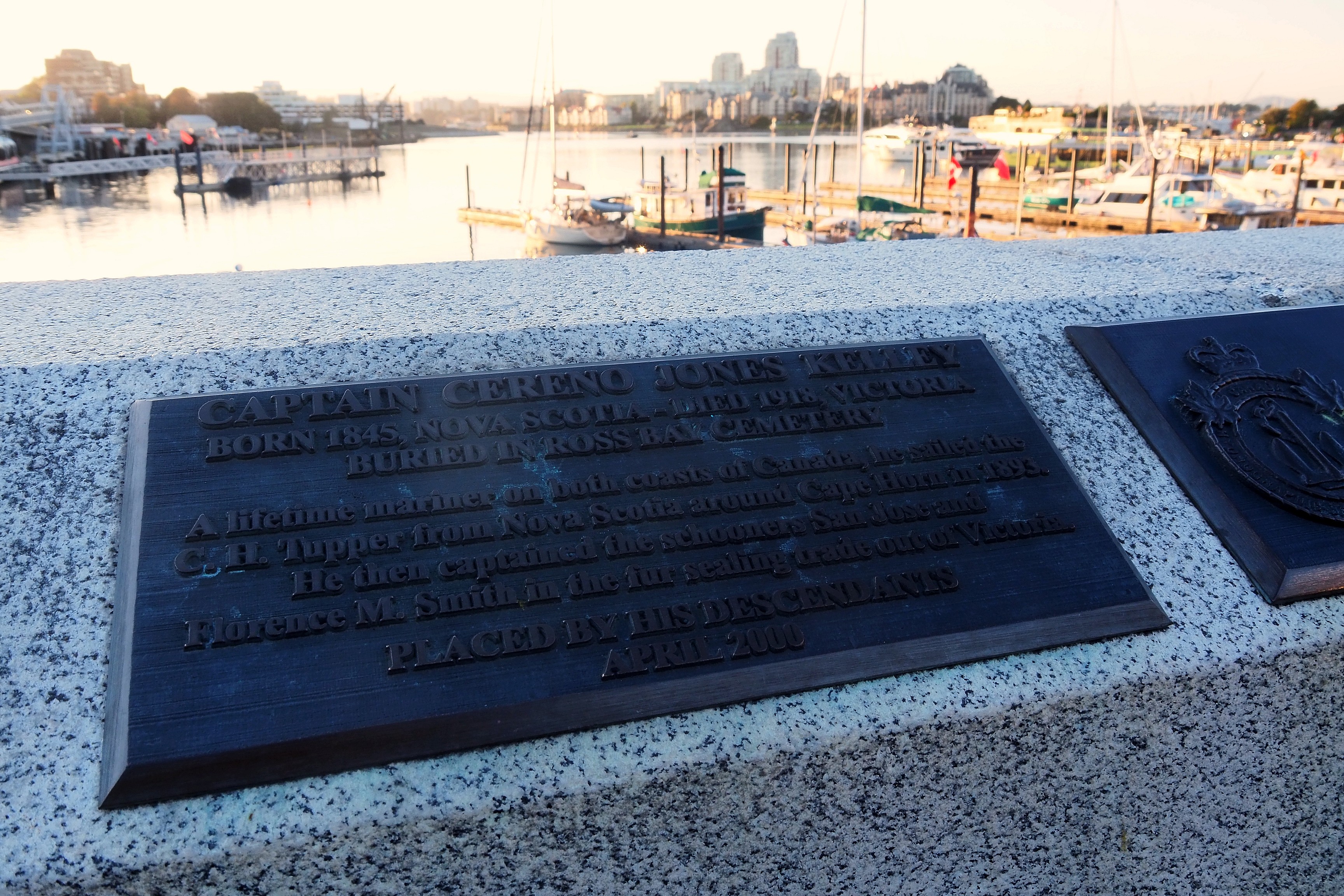
Sailors' memorial on the Parliament promenade in Victoria, with the legislative building in the background.Commemorative plaque for Captain Cereno Jones Kelley at Victoria's Inner Harbour.
Sailboat in Victoria's harbor at sunset.

For dinner, back to basics at the Frankie's Modern Diner restaurant with a burger and fries!   Tomorrow, we start exploring the island by heading north, via the east coast.

Cheeseburger and fries at Frankie's Modern Diner in Victoria.


Previous Page
From Kamloops to Hope
Next Page
Vancouver Island West Coast